Lamar is a town in Hughes County, Oklahoma, United States. The population was 158 at the 2010 census.
| Name: | Lamar town |
|---|---|
| LSAD Code: | 43 |
| LSAD Description: | town (suffix) |
| State: | Oklahoma |
| County: | Hughes County |
| Elevation: | 764 ft (233 m) |
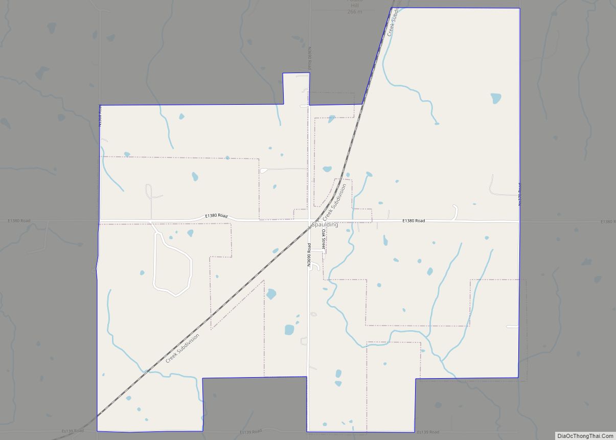
| Total Area: | 11.99 sq mi (31.07 km²) |
| Land Area: | 11.99 sq mi (31.06 km²) |
| Water Area: | 0.00 sq mi (0.00 km²) |
| Total Population: | 118 |
| Population Density: | 9.84/sq mi (3.80/km²) |
| ZIP code: | 74850 |
| Area code: | 405 |
| FIPS code: | 4041250 |
| GNISfeature ID: | 1094486 |
Online Interactive Map
Click on ![]() to view map in "full screen" mode.
to view map in "full screen" mode.
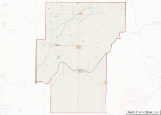
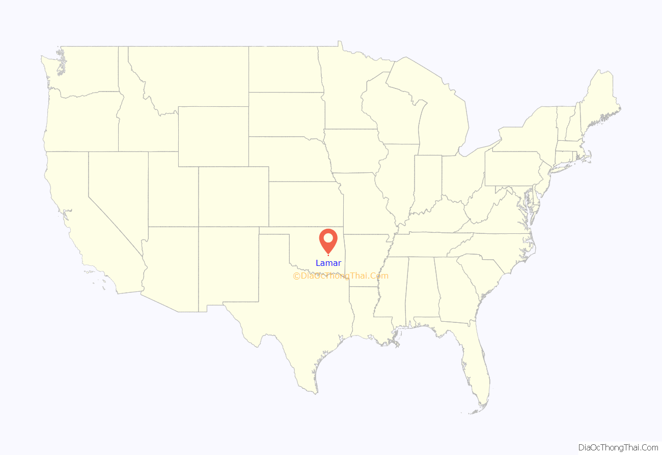
Lamar location map. Where is Lamar town?

History
After the Missouri, Oklahoma and Gulf Railway (later the Kansas, Oklahoma and Gulf Railway (KO&G) constructed a line in 1907 connecting Dustin and Calvin, the Lamar community developed midway between the two towns. A post office was established on July 23, 1907. On September 14, 1907, J. R. Luttrell published the first issue of the weekly Lamar News. Two years later Lamar had a bank, a livery, a cotton gin, a lumberyard, a tin shop, a hardware store, and five general stores. Lamar incorporated on January 2, 1908. In 1909 R. L. Polk’s Oklahoma State Gazetteer and Business Directory estimated that Lamar had a population of five hundred. Citizens passed a ten-thousand-dollar bond issue in May 1909 for the construction of a two-story, brick school building, completed in May 1910.
On July 5, 1922, Lamar became a consolidated school district. In October of that year citizens voted by a margin of two to one to incorporate the town. After the Bank of Lamar voluntarily liquidated on December 12, 1928, residents conducted their banking in Holdenville. During the 1940s and 1950s the town supported several groceries and gas stations.
The first federal census for Lamar reported a population of 250 in 1930. The number peaked at 296 in 1940. By 1950 it had declined to 180 and continued on a downward spiral to a low of 97 in 1990. At the turn of the twenty-first century Lamar served as a “bedroom” community for 172 residents, the majority of whom commuted thirty to forty-five minutes to work. The 2010 census recorded 158 inhabitants.
By 1918 the surrounding agricultural area supported two cotton gins, two blacksmith shops, a bank, four general stores, and sundry other businesses. With an estimated population of 350, citizens attended the Baptist and Methodist churches and read the weekly newspaper, the Lamar Sun.
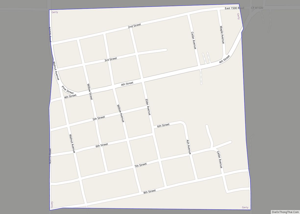
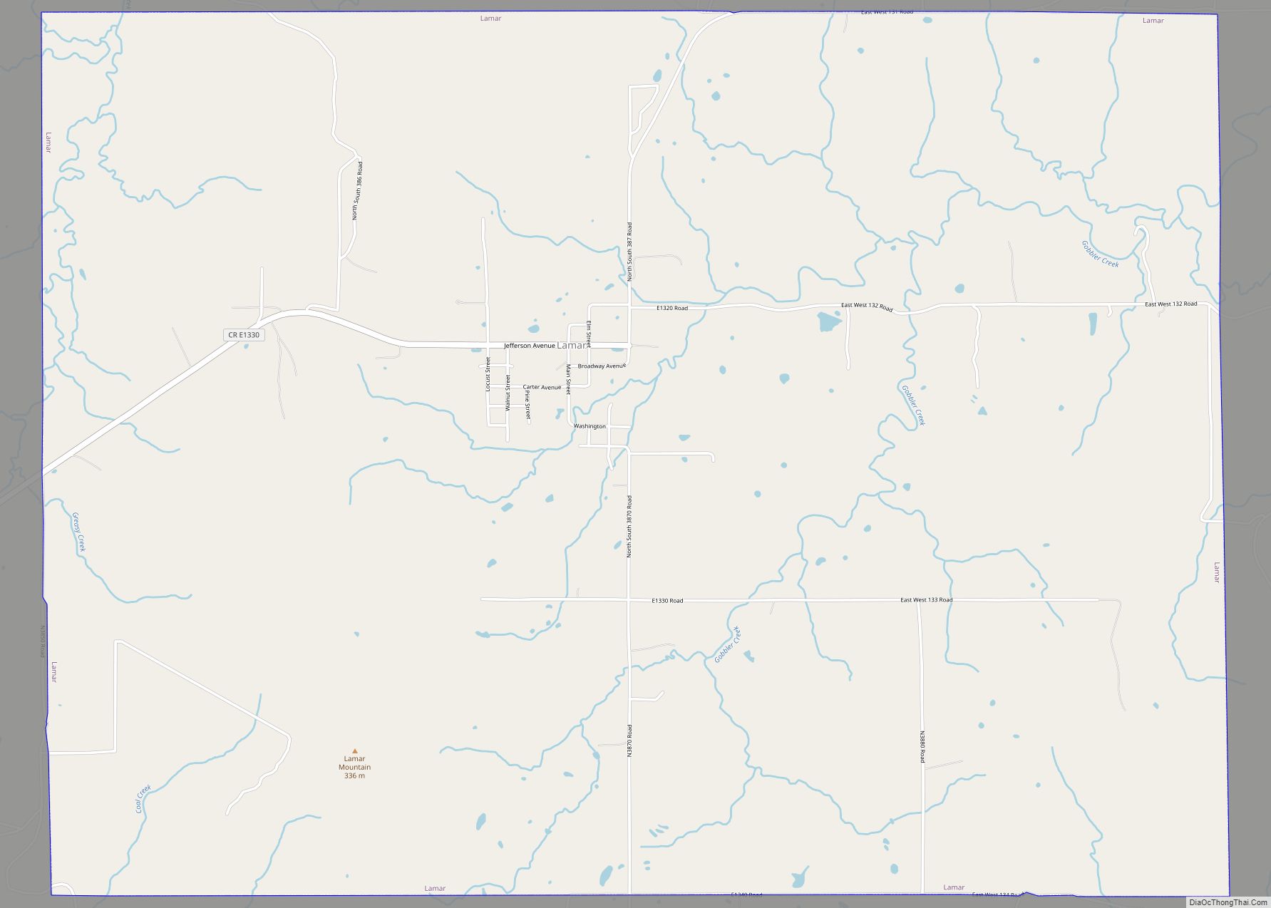
Lamar Road Map

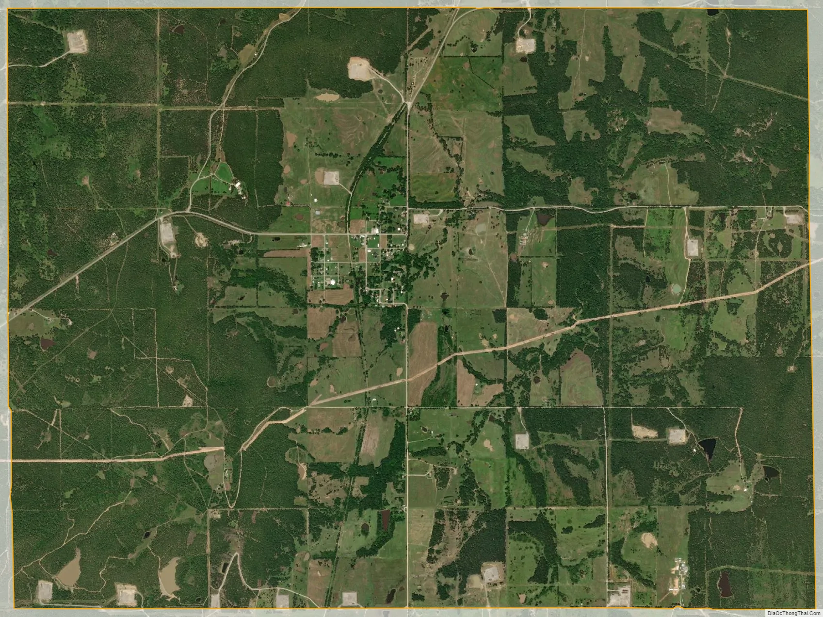
Lamar city Satellite Map
Geography
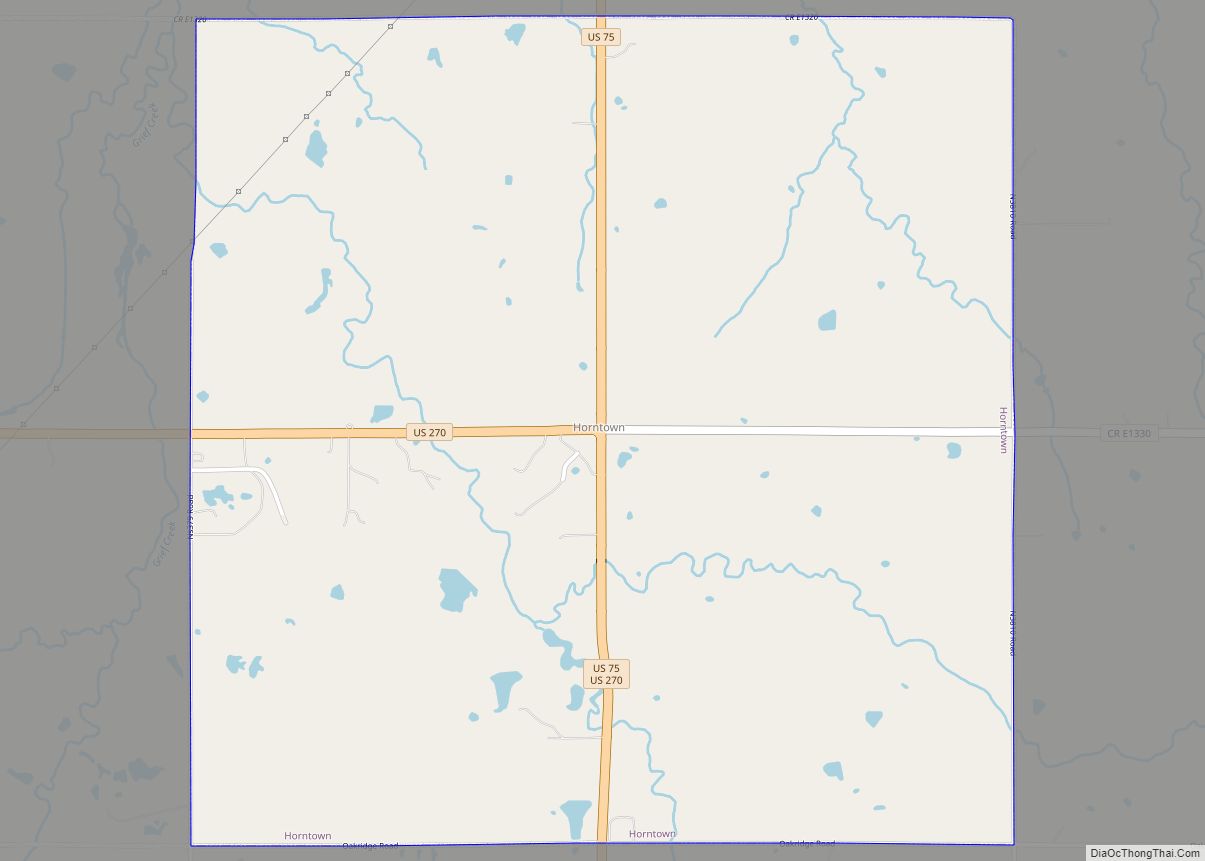
Lamar is located in eastern Hughes County at 35°5′56″N 96°7′31″W / 35.09889°N 96.12528°W / 35.09889; -96.12528 (35.098974, -96.125242). It is 7 miles (11 km) east of Horntown and 15 miles (24 km) east of Holdenville, the county seat.
According to the United States Census Bureau, the town has a total area of 12.0 square miles (31.2 km), all land. Lamar sits at the eastern foot of 1,110-foot (340 m) Lamar Mountain, which rises 350 feet (110 m) over the center of town. Lamar drains to the east via Gobbler Creek to the Canadian River.
See also
Map of Oklahoma State and its subdivision:- Adair
- Alfalfa
- Atoka
- Beaver
- Beckham
- Blaine
- Bryan
- Caddo
- Canadian
- Carter
- Cherokee
- Choctaw
- Cimarron
- Cleveland
- Coal
- Comanche
- Cotton
- Craig
- Creek
- Custer
- Delaware
- Dewey
- Ellis
- Garfield
- Garvin
- Grady
- Grant
- Greer
- Harmon
- Harper
- Haskell
- Hughes
- Jackson
- Jefferson
- Johnston
- Kay
- Kingfisher
- Kiowa
- Latimer
- Le Flore
- Lincoln
- Logan
- Love
- Major
- Marshall
- Mayes
- McClain
- McCurtain
- McIntosh
- Murray
- Muskogee
- Noble
- Nowata
- Okfuskee
- Oklahoma
- Okmulgee
- Osage
- Ottawa
- Pawnee
- Payne
- Pittsburg
- Pontotoc
- Pottawatomie
- Pushmataha
- Roger Mills
- Rogers
- Seminole
- Sequoyah
- Stephens
- Texas
- Tillman
- Tulsa
- Wagoner
- Washington
- Washita
- Woods
- Woodward
- Alabama
- Alaska
- Arizona
- Arkansas
- California
- Colorado
- Connecticut
- Delaware
- District of Columbia
- Florida
- Georgia
- Hawaii
- Idaho
- Illinois
- Indiana
- Iowa
- Kansas
- Kentucky
- Louisiana
- Maine
- Maryland
- Massachusetts
- Michigan
- Minnesota
- Mississippi
- Missouri
- Montana
- Nebraska
- Nevada
- New Hampshire
- New Jersey
- New Mexico
- New York
- North Carolina
- North Dakota
- Ohio
- Oklahoma
- Oregon
- Pennsylvania
- Rhode Island
- South Carolina
- South Dakota
- Tennessee
- Texas
- Utah
- Vermont
- Virginia
- Washington
- West Virginia
- Wisconsin
- Wyoming