Glencoe is a town in northern Payne County, Oklahoma, United States. The population was 601 at the 2010 census, an increase of 3.1 percent from the figure of 583 in 2000. Glencoe is a midway point between Pawnee County and Stillwater, which is the county seat. The city has recently been the site of economic growth due to positive investments in agritourism and athletic achievements.
| Name: | Glencoe town |
|---|---|
| LSAD Code: | 43 |
| LSAD Description: | town (suffix) |
| State: | Oklahoma |
| County: | Payne County |
| Elevation: | 1,073 ft (327 m) |
| Total Area: | 1.71 sq mi (4.43 km²) |
| Land Area: | 1.67 sq mi (4.34 km²) |
| Water Area: | 0.04 sq mi (0.10 km²) |
| Total Population: | 499 |
| Population Density: | 298.09/sq mi (115.09/km²) |
| ZIP code: | 74032 |
| Area code: | 580 |
| FIPS code: | 4029400 |
| GNISfeature ID: | 1093202 |
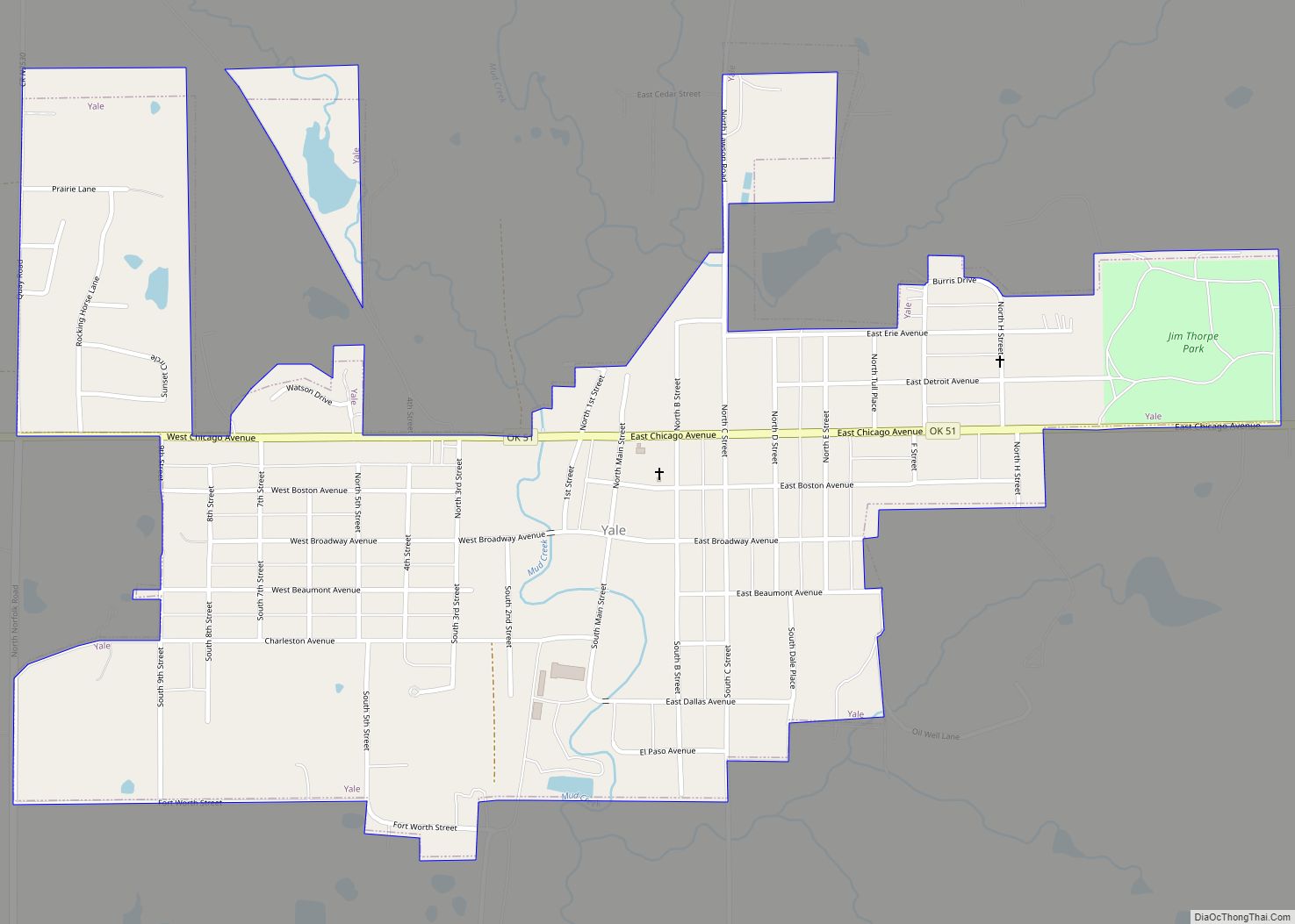
Online Interactive Map
Click on ![]() to view map in "full screen" mode.
to view map in "full screen" mode.
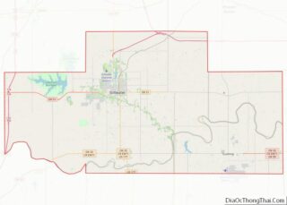
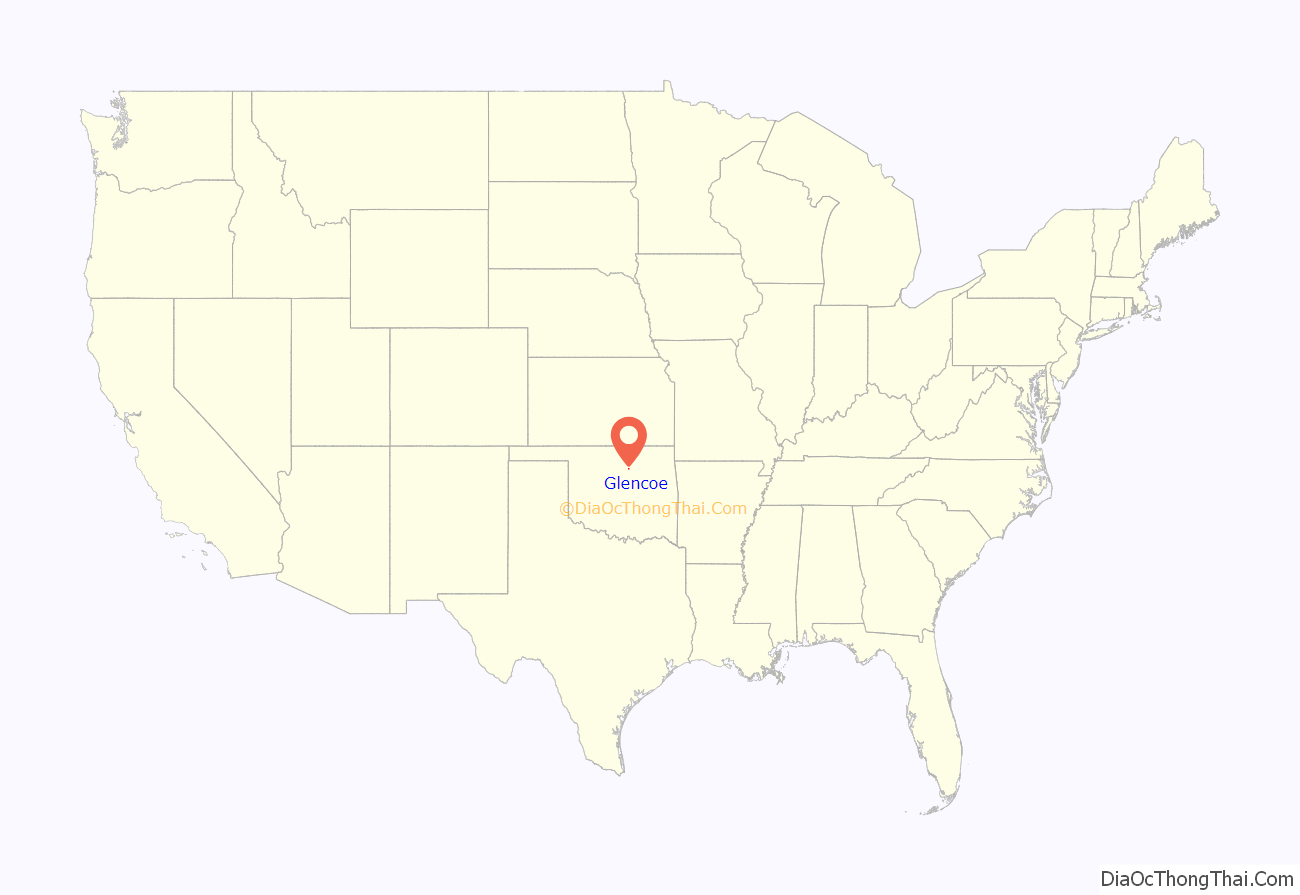
Glencoe location map. Where is Glencoe town?
History
Glencoe was founded in 1899 with the establishment of the Glenco Post Office on the Eastern Oklahoma Railway. The first lots were sold on April 15, 1900. After J. Hunter Williams, editor of the Glencoe Mirror, was named postmaster on January 4, 1901, he persuaded the U.S. Post Office Department to change the spelling of the town’s name to Glencoe. Also that year, Glencoe was reported to be a sundown town, prohibiting African Americans from living or stopping in the town. In its early history Glencoe served as a trading center for the area and agriculture was the mainstay of the local economy. On January 22, 1914 a fire swept through downtown and destroyed most of the business district. While, some businesses were rebuilt, the town’s future growth was negatively affected by the fire.
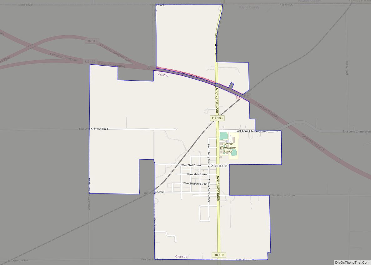
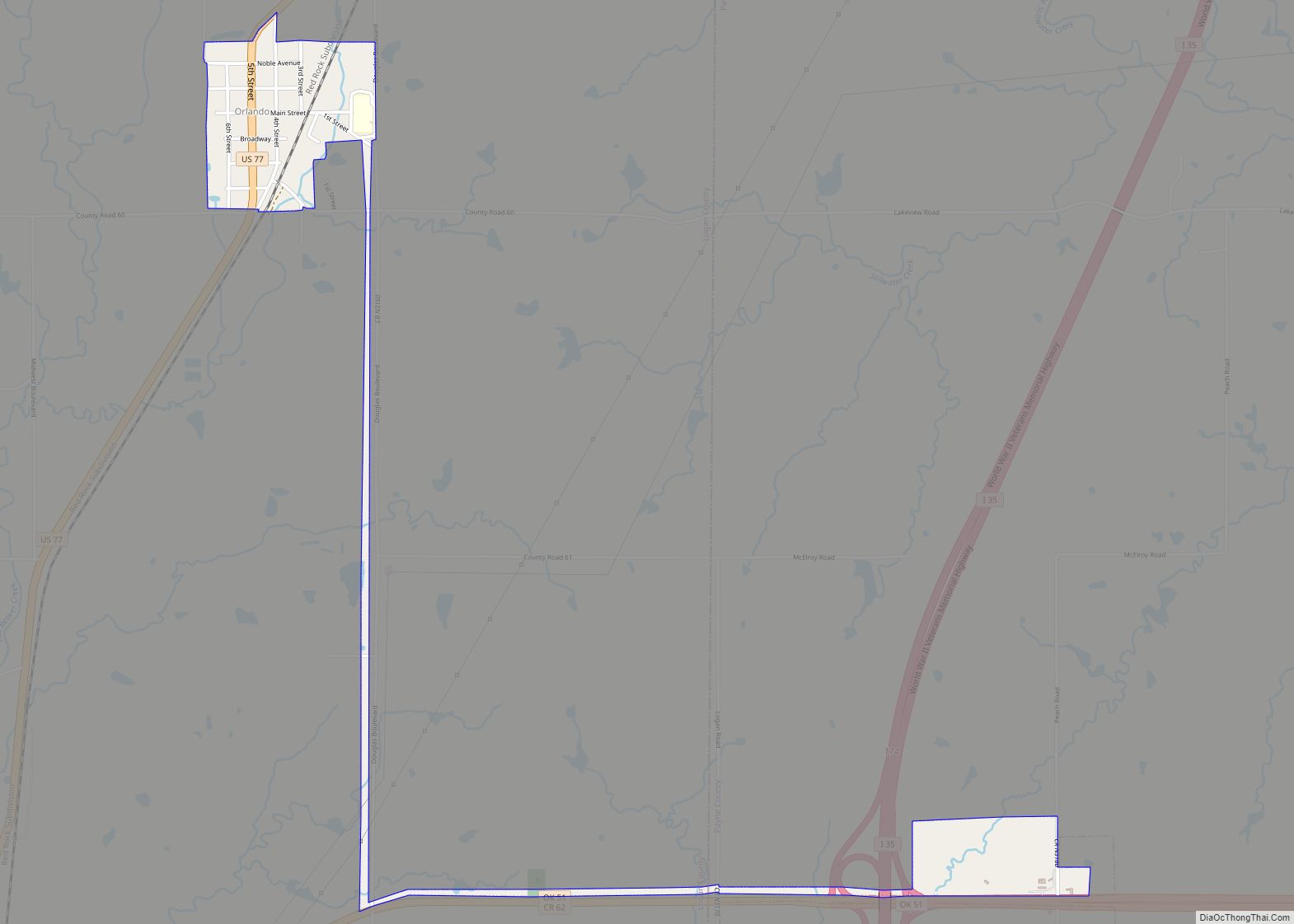
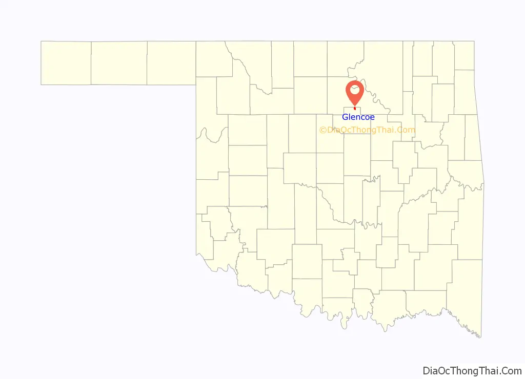
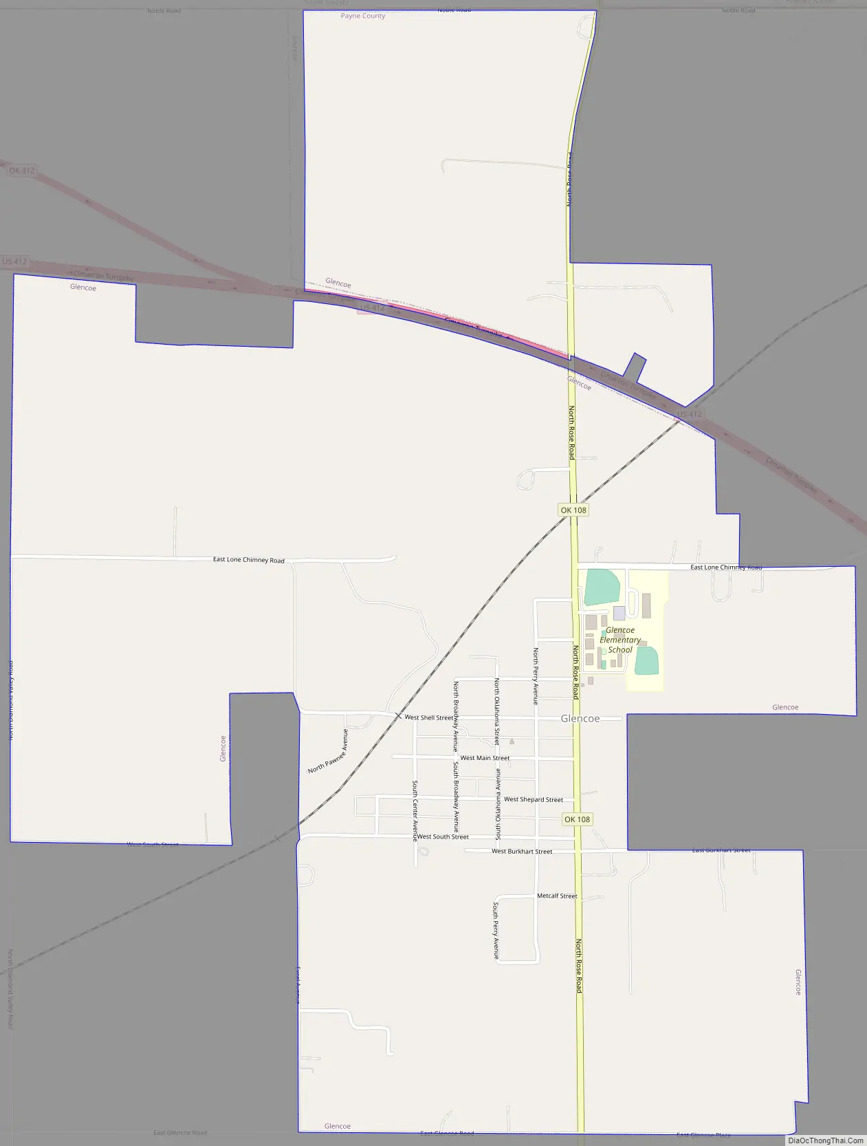
Glencoe Road Map
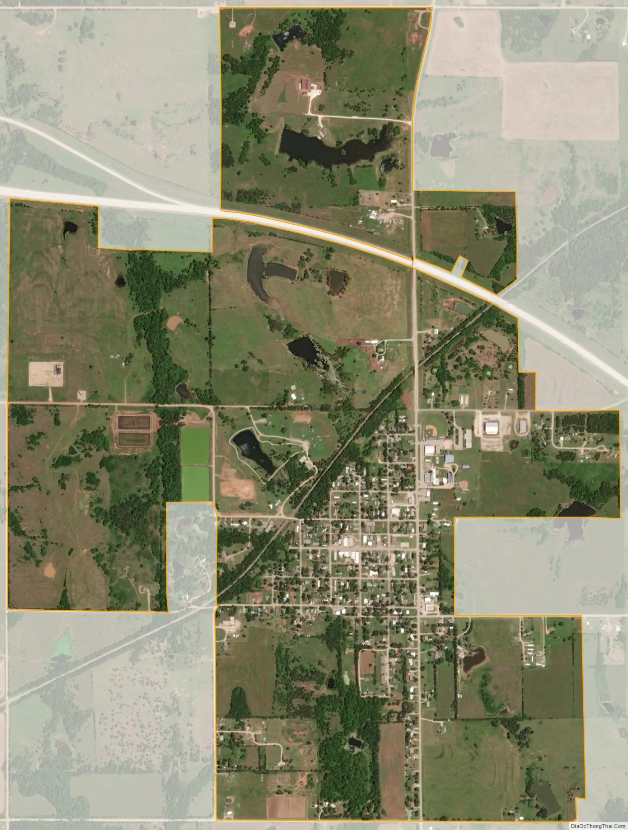
Glencoe city Satellite Map
Geography
Glencoe is located at 36°13′41″N 96°55′40″W / 36.22806°N 96.92778°W / 36.22806; -96.92778 (36.228164, -96.927696). According to the United States Census Bureau, the town has a total area of 0.8 square miles (2.1 km), all land. The town is 7 miles (11 km) east of Stillwater, the county seat, on State Highway 51 and 8 miles (13 km) north on State Highway 108.
Glencoe is a hub for northern Payne County and southern Noble County and serves as the principal community for the area. With deep historical ties to agriculture, the culture of the town is based around the traditions that accompany farming.
Glencoe is located approximately 5.8 miles from Lake Lone Chimney, on the border between Payne and Pawnee counties. The lake historically served as a recreational outlet for the town, drawing in sportsmen for tournaments and other outdoors event. Following the drought which ravished the region in the early 2010s, the lake experienced dramatic water losses and as a result, the economy and culture of the town was negatively impacted.
See also
Map of Oklahoma State and its subdivision:- Adair
- Alfalfa
- Atoka
- Beaver
- Beckham
- Blaine
- Bryan
- Caddo
- Canadian
- Carter
- Cherokee
- Choctaw
- Cimarron
- Cleveland
- Coal
- Comanche
- Cotton
- Craig
- Creek
- Custer
- Delaware
- Dewey
- Ellis
- Garfield
- Garvin
- Grady
- Grant
- Greer
- Harmon
- Harper
- Haskell
- Hughes
- Jackson
- Jefferson
- Johnston
- Kay
- Kingfisher
- Kiowa
- Latimer
- Le Flore
- Lincoln
- Logan
- Love
- Major
- Marshall
- Mayes
- McClain
- McCurtain
- McIntosh
- Murray
- Muskogee
- Noble
- Nowata
- Okfuskee
- Oklahoma
- Okmulgee
- Osage
- Ottawa
- Pawnee
- Payne
- Pittsburg
- Pontotoc
- Pottawatomie
- Pushmataha
- Roger Mills
- Rogers
- Seminole
- Sequoyah
- Stephens
- Texas
- Tillman
- Tulsa
- Wagoner
- Washington
- Washita
- Woods
- Woodward
- Alabama
- Alaska
- Arizona
- Arkansas
- California
- Colorado
- Connecticut
- Delaware
- District of Columbia
- Florida
- Georgia
- Hawaii
- Idaho
- Illinois
- Indiana
- Iowa
- Kansas
- Kentucky
- Louisiana
- Maine
- Maryland
- Massachusetts
- Michigan
- Minnesota
- Mississippi
- Missouri
- Montana
- Nebraska
- Nevada
- New Hampshire
- New Jersey
- New Mexico
- New York
- North Carolina
- North Dakota
- Ohio
- Oklahoma
- Oregon
- Pennsylvania
- Rhode Island
- South Carolina
- South Dakota
- Tennessee
- Texas
- Utah
- Vermont
- Virginia
- Washington
- West Virginia
- Wisconsin
- Wyoming