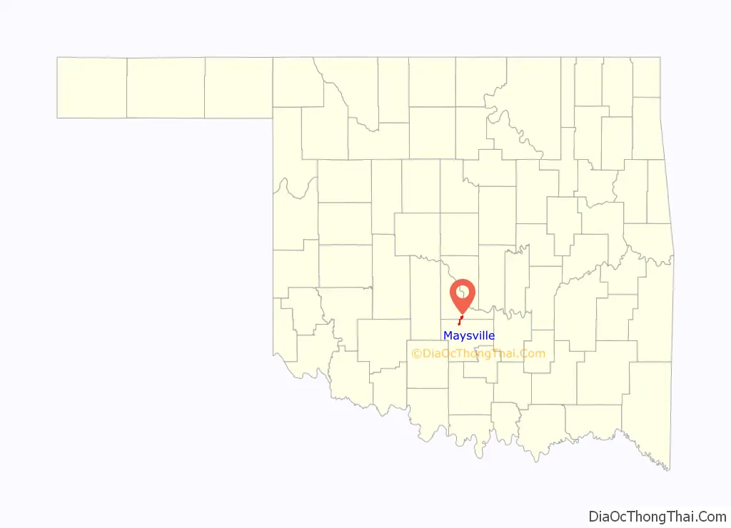
Maysville is a town in Garvin and McClain counties, Oklahoma, United States. The population was 1,232 at the 2010 census, down from 1,313 in 2000.
| Name: | Maysville town |
|---|---|
| LSAD Code: | 43 |
| LSAD Description: | town (suffix) |
| State: | Oklahoma |
| County: | Garvin County, McClain County |
| Elevation: | 938 ft (286 m) |
| Total Area: | 1.91 sq mi (4.95 km²) |
| Land Area: | 1.54 sq mi (3.98 km²) |
| Water Area: | 0.37 sq mi (0.97 km²) |
| Total Population: | 1,087 |
| Population Density: | 707.22/sq mi (272.99/km²) |
| ZIP code: | 73057 |
| Area code: | 405 |
| FIPS code: | 4047150 |
| GNISfeature ID: | 1095194 |
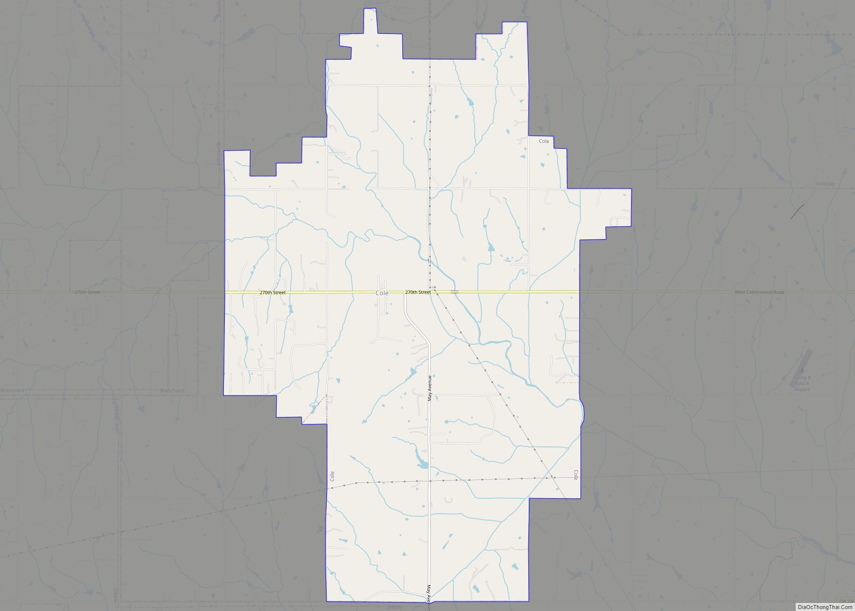
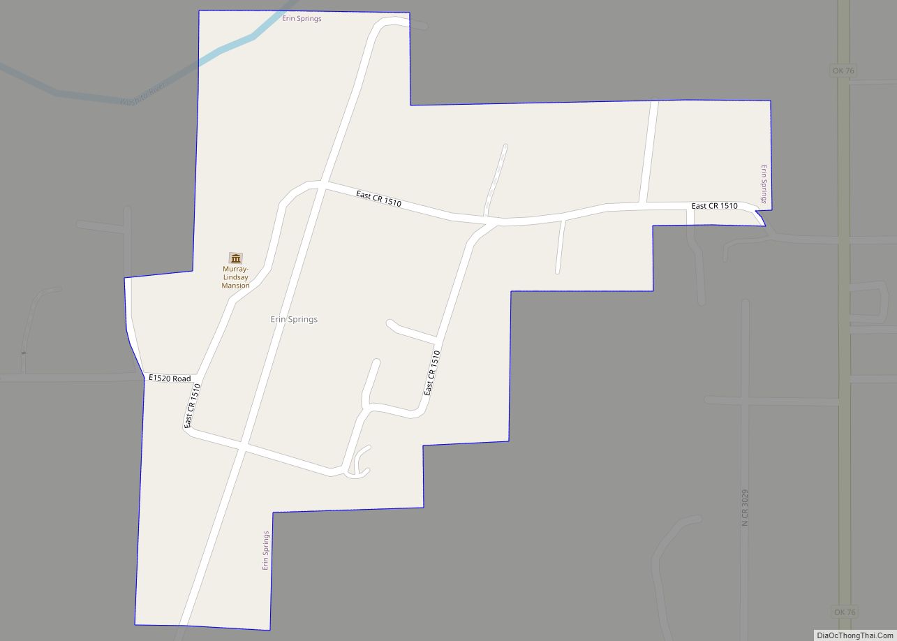
Online Interactive Map
Click on ![]() to view map in "full screen" mode.
to view map in "full screen" mode.
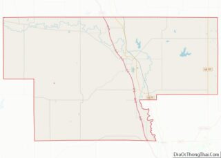
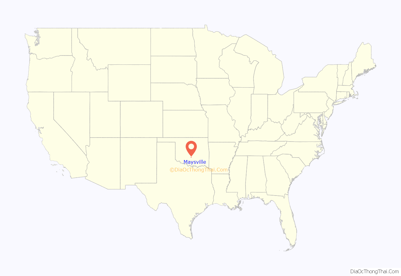
Maysville location map. Where is Maysville town?
History
A post office was established at this location on March 19, 1878 and operated until May 29, 1878. It was reestablished as Beef Creek, Indian Territory on June 17, 1878. The post office took its name from nearby Beef Creek, a tributary of the Washita River.
On September 19, 1902, after the town had relocated a mile north to be alongside the tracks of the newly-laid Kiowa, Chickasha and Fort Smith Railway (an affiliate of the Atchison, Topeka and Santa Fe Railway), and the post office joined it, the name was changed to Maysville. The new name was in honor of David Mayes and John Mayes, local ranchers.
At the time of its founding, Beef Creek, later Mayesville, was located in Pickens County, Chickasaw Nation.
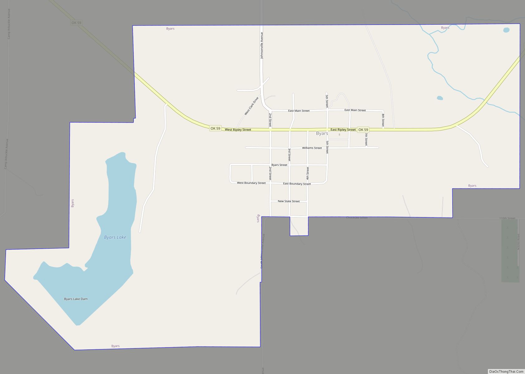
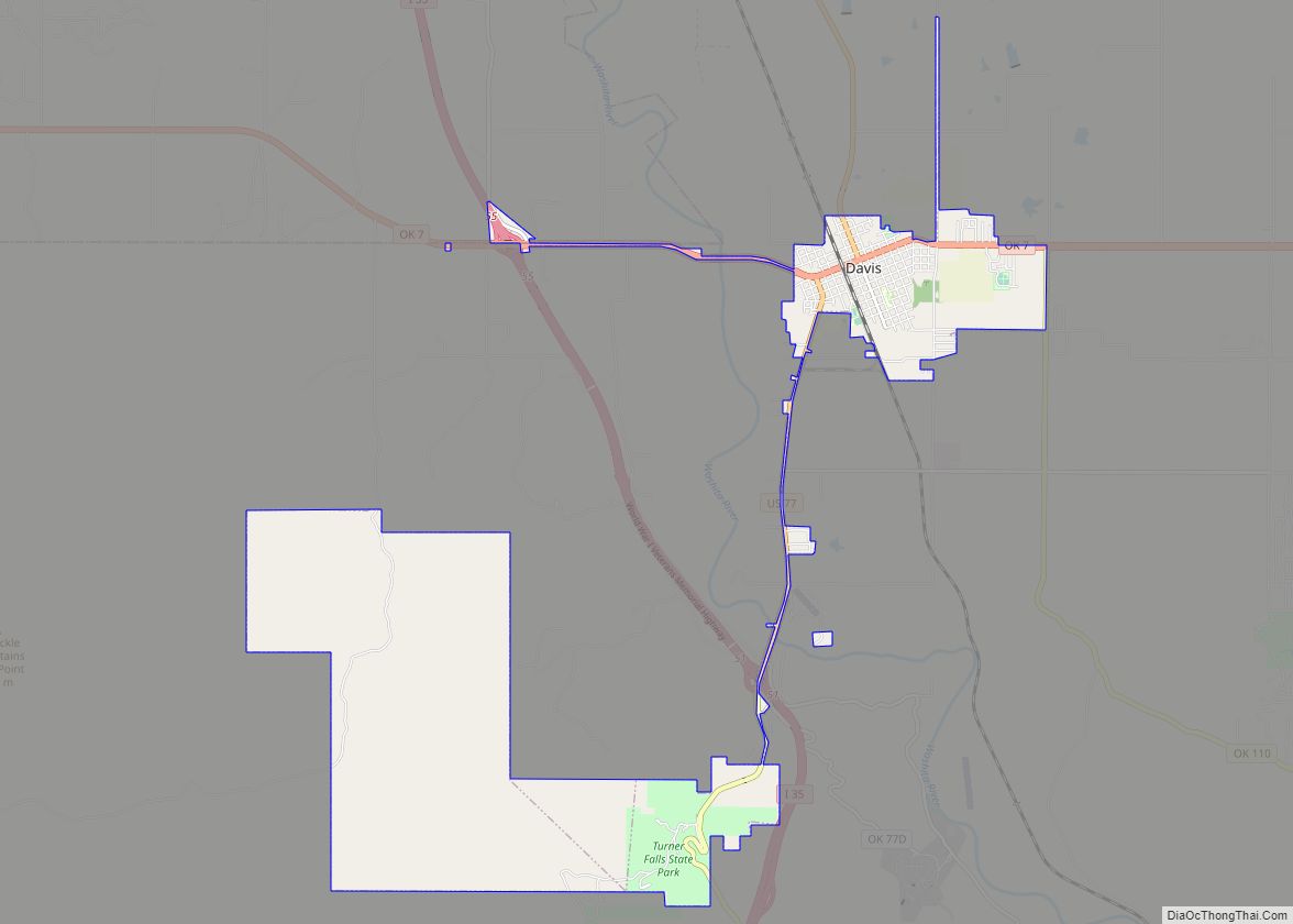
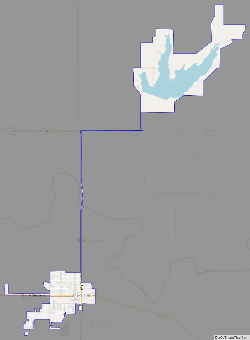
Maysville Road Map
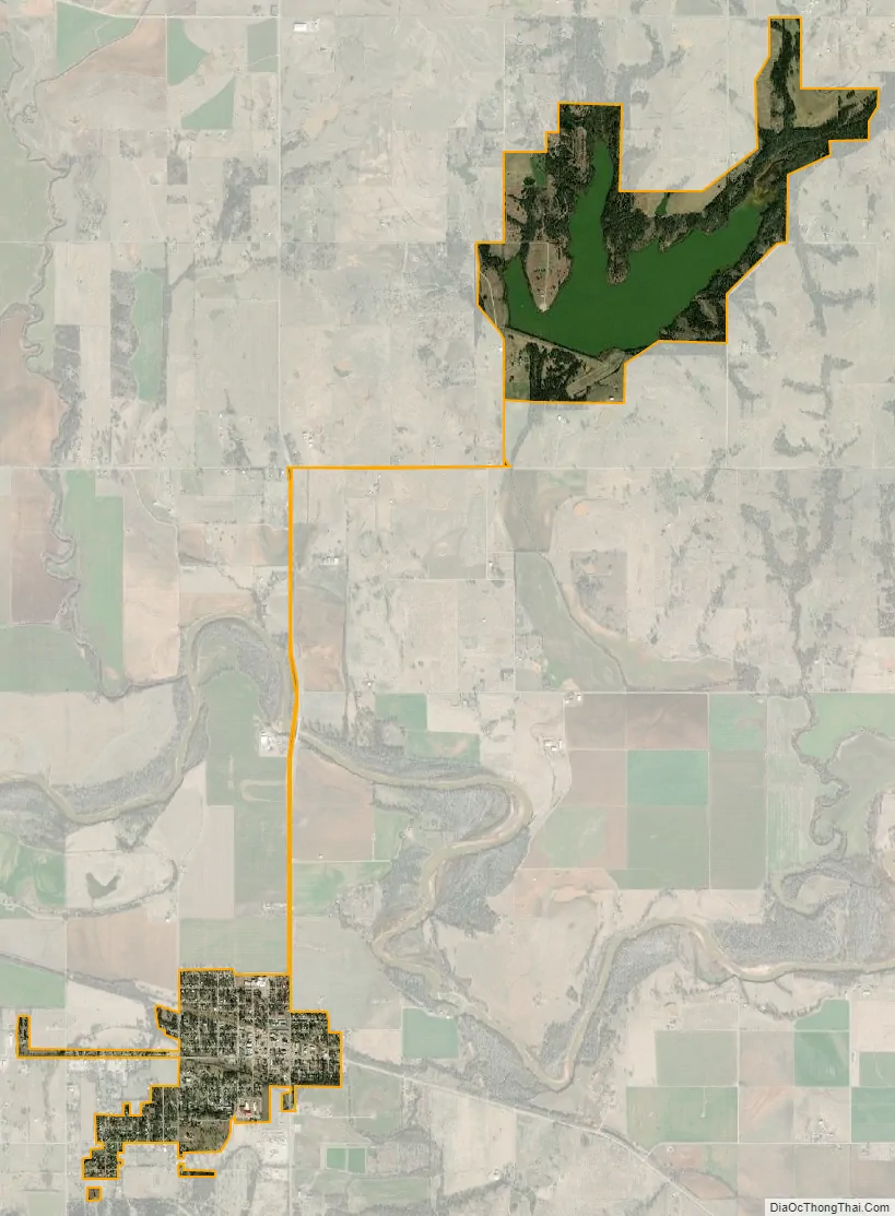
Maysville city Satellite Map
Geography
Maysville is located in northern Garvin County at 34°49′3″N 97°24′37″W / 34.81750°N 97.41028°W / 34.81750; -97.41028 (34.817489, -97.410162), on the south side of the valley of the Washita River. The town has an exclave to the north in McClain County, surrounding Wiley Post Memorial Reservoir.
Oklahoma State Highway 19 passes through the center of town as 6th Street, leading southeast 12 miles (19 km) to Pauls Valley, the Garvin County seat, and west 11 miles (18 km) to Lindsay. State Highway 74 (Ripley Street) crosses Highway 19 on the east side of downtown, leading north 14 miles (23 km) to Purcell and south 13 miles (21 km) to Elmore City.
According to the United States Census Bureau, Maysville has a total area of 2.0 square miles (5.1 km), of which 1.6 square miles (4.1 km) is land and 0.4 square miles (1.0 km), or 19.05%, is water.
See also
Map of Oklahoma State and its subdivision:- Adair
- Alfalfa
- Atoka
- Beaver
- Beckham
- Blaine
- Bryan
- Caddo
- Canadian
- Carter
- Cherokee
- Choctaw
- Cimarron
- Cleveland
- Coal
- Comanche
- Cotton
- Craig
- Creek
- Custer
- Delaware
- Dewey
- Ellis
- Garfield
- Garvin
- Grady
- Grant
- Greer
- Harmon
- Harper
- Haskell
- Hughes
- Jackson
- Jefferson
- Johnston
- Kay
- Kingfisher
- Kiowa
- Latimer
- Le Flore
- Lincoln
- Logan
- Love
- Major
- Marshall
- Mayes
- McClain
- McCurtain
- McIntosh
- Murray
- Muskogee
- Noble
- Nowata
- Okfuskee
- Oklahoma
- Okmulgee
- Osage
- Ottawa
- Pawnee
- Payne
- Pittsburg
- Pontotoc
- Pottawatomie
- Pushmataha
- Roger Mills
- Rogers
- Seminole
- Sequoyah
- Stephens
- Texas
- Tillman
- Tulsa
- Wagoner
- Washington
- Washita
- Woods
- Woodward
- Alabama
- Alaska
- Arizona
- Arkansas
- California
- Colorado
- Connecticut
- Delaware
- District of Columbia
- Florida
- Georgia
- Hawaii
- Idaho
- Illinois
- Indiana
- Iowa
- Kansas
- Kentucky
- Louisiana
- Maine
- Maryland
- Massachusetts
- Michigan
- Minnesota
- Mississippi
- Missouri
- Montana
- Nebraska
- Nevada
- New Hampshire
- New Jersey
- New Mexico
- New York
- North Carolina
- North Dakota
- Ohio
- Oklahoma
- Oregon
- Pennsylvania
- Rhode Island
- South Carolina
- South Dakota
- Tennessee
- Texas
- Utah
- Vermont
- Virginia
- Washington
- West Virginia
- Wisconsin
- Wyoming