Minco is a city in Grady County, Oklahoma, United States. The population was 1,500 at the 2020 census, a 8.1% decrease from 2010.
| Name: | Minco city |
|---|---|
| LSAD Code: | 25 |
| LSAD Description: | city (suffix) |
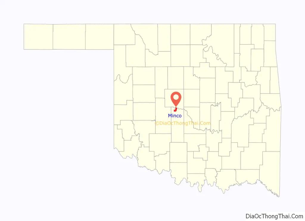
| State: | Oklahoma |
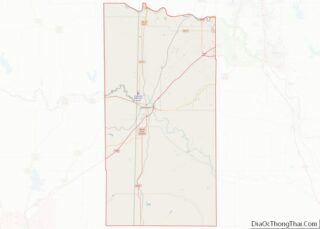
| County: | Grady County |
| Elevation: | 1,296 ft (395 m) |
| Total Area: | 12.31 sq mi (31.88 km²) |
| Land Area: | 12.28 sq mi (31.79 km²) |
| Water Area: | 0.04 sq mi (0.09 km²) |
| Total Population: | 1,500 |
| Population Density: | 122.19/sq mi (47.18/km²) |
| ZIP code: | 73059 |
| Area code: | 405 |
| FIPS code: | 4048750 |
| GNISfeature ID: | 1095428 |
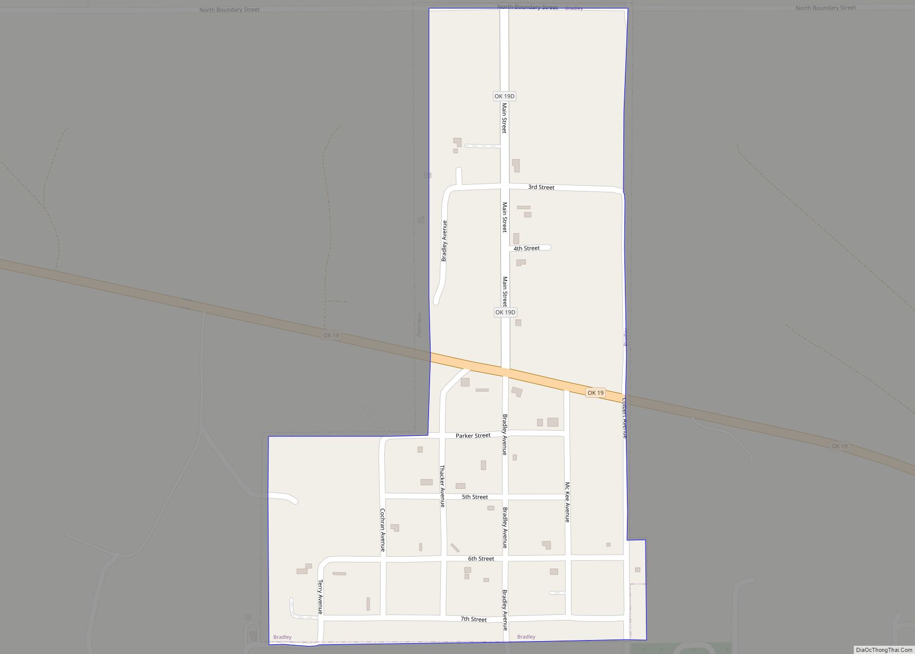
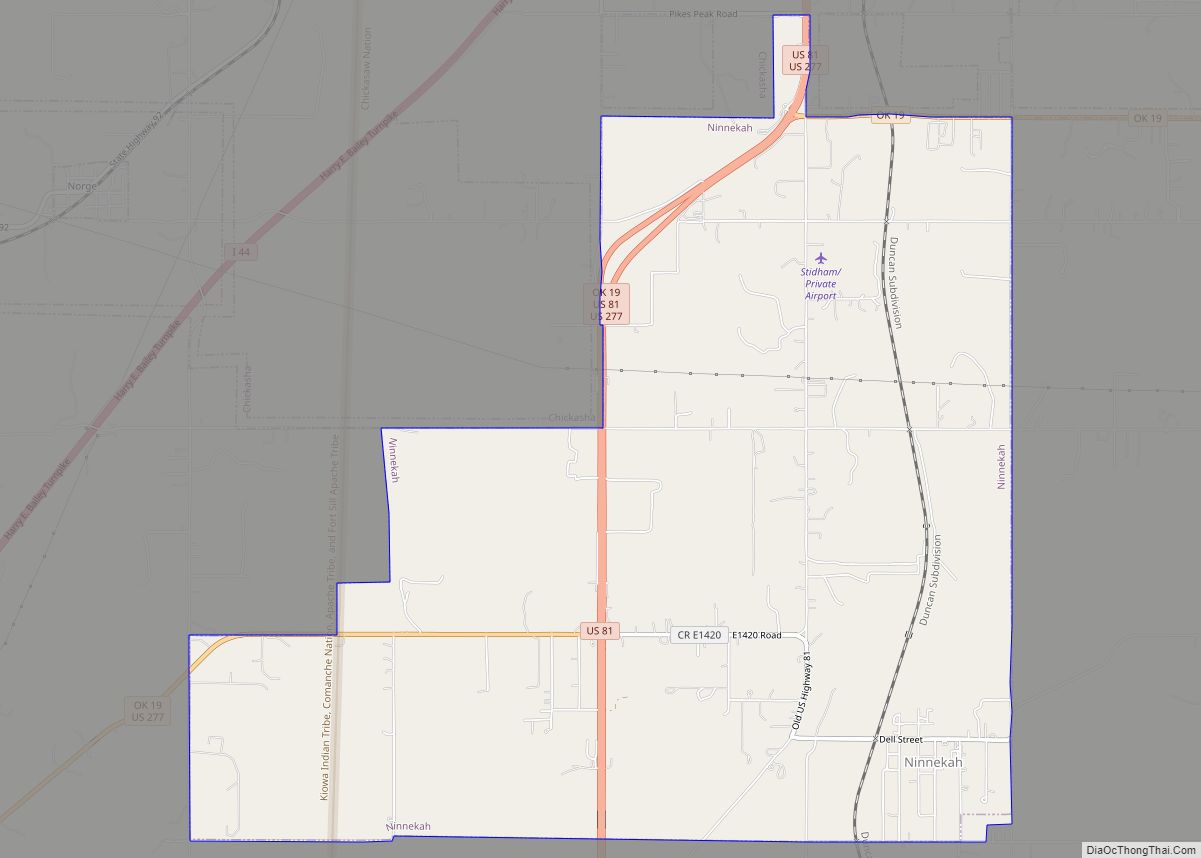
Online Interactive Map
Click on ![]() to view map in "full screen" mode.
to view map in "full screen" mode.
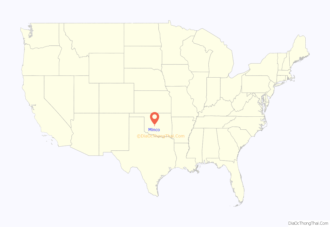
Minco location map. Where is Minco city?
History
Present-day Minco began as a settlement named Silver City on the Chisholm Trail. The community was initially a collection of tents housing Caddo, Wichita, Kiowa, and Comanche tribesmen. It was approximately 7 miles (11 km) east of the present-day location. After the Rock Island extended its railroad track to the Chisholm Trail, the town physically moved to the end of the rail line and renamed itself Minco. The town was originally included in the Chickasaw Nation, and is believed to be named after the great Chickasaw chief and warrior, Itawamba Minco, who later acquired the name of Levi Colbert, and who resided on Chickasaw land in Mississippi, near Cotton Gin Port. Minco was officially settled sometime circa 1890, several years before Oklahoma achieved statehood. The post office opened on July 14, 1890. In its early stages, Minco was a very busy town because of its location at the end of the Chicago, Rock Island & Pacific Railroad until the railroad was extended further south two years later. Charles B. Campbell owned the occupancy rights of the land that the town was built on. His wife was Miss Maggie (Margaret) Williams, a daughter of W. G. (Caddo Bill) Williams, owner of the Half Moon Ranch, who started Silver City in 1872 by building a trading store for those cattlemen driving their herds of cattle up the Chisholm Trail.
Before the establishment of Minco as a town, three major expeditions passed through the area. The first expedition was conducted by Captain Randolph B. Marcy(1812-1887) in 1849. Marcy was ordered to escort 1,500 individuals headed to the California gold fields. When the expedition approached the Minco area they kept to the south side of Buggy Creek, which Marcy named “Deer Creek”. Marcy named his route the Fort Smith to Santa Fe Trail. There was a road established in 1839-1840 on the north side of the Canadian River that was also named the Fort Smith to Santa Fe Trail. This road had been laid out by Josiah Gregg, a Santa Fe merchant who had connections with merchants in Fort Smith, Arkansas.
During the summer of 1853, the first railroad survey was conducted from Fort Smith to Los Angeles by Lt. Amiel Weeks Whipple. Whipple’s survey followed Marcy’s route from Fort Smith until they reached the Caddo County Buttes. At that point the expedition moved westward, whereas Marcy had turned north to join the Fort Smith to the Santa Fe Trail, not far north of Hydro. Whipple continued westward, leaving Oklahoma just west of the Antelope Hills in present-day Roger Mills County.
The Rock Island Railroad Co.’s original purpose in extending the railroad to Minco was to provide a gateway for the shipping of cattle from the grazing lands of the Chickasaw Nation, just to the south of the town. On August 4, 1901, the Chickasaw Nation’s land was opened to white settlement, in turn making Minco a railroad hub for the entire region.
On October 14, 1901, local citizens formed a company for the purpose of selling vacant lots in the town to encourage settlement. It was known as the Minco Townsite and Investment Company.
The town was originally composed mainly of merchants who provided supplies for the many travelers that used the railroad infrastructure of the town. It is the oldest town in the western part of Oklahoma, so its many businesses served residents for many miles around. In fact, the hardware store and tin shop originally opened by Kirk Woodworth in 1891 is still in existence. The remains of some of the hotels that were used by the many temporary residents also still stand along its Main Street.
In September 1894 Meta Chestnutt, a teacher from North Carolina who was determined to bring education to the frontier (specifically Native Americans), along with the services of J.H. Bond, established the El Meta Bond College, one of the first of its kind in the area. The college offered elementary, grammar, and high school courses along with some music and drama courses. Having faced economic troubles for the whole of its existence, it was eventually decommissioned in 1920 due to decreasing enrollment since the arrival of newer educational institutions that came with statehood. After the demolition of the old school building a modern masonry armory was constructed in 1936 and today serves as a community gathering center. A community park occupies part of the old campus. In this park there is a plaque commemorating Meta Chestnutt and her contributions to the school.
The first municipal natural gas company in Oklahoma was founded in Minco in 1960 by James Burton Branum, Jr, operated along with the Minco Tag Agency from an office in the back of what was then Branum’s Variety Store on Main street.
In 2007 the Minco Historical Society established a museum to exhibit the numerous historical facts associated with the town.
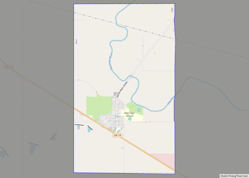
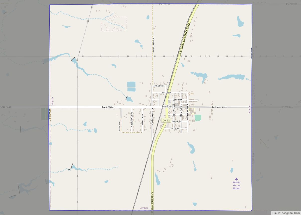
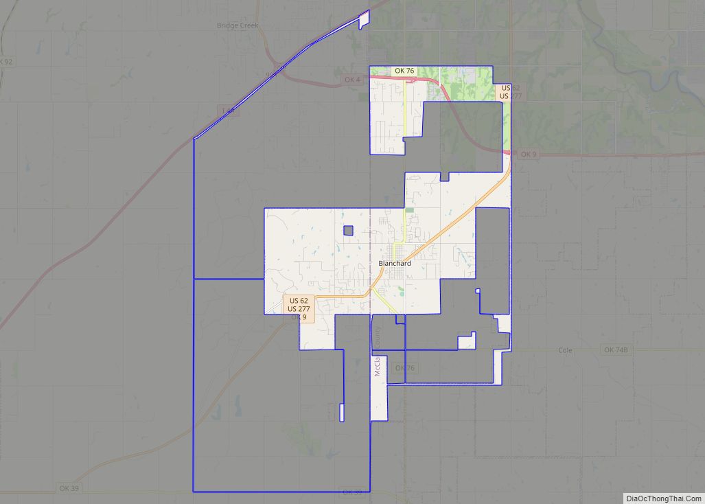
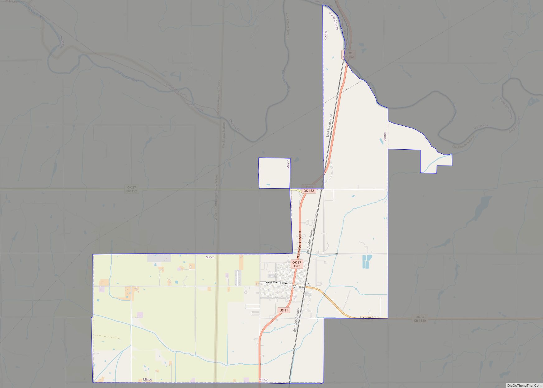
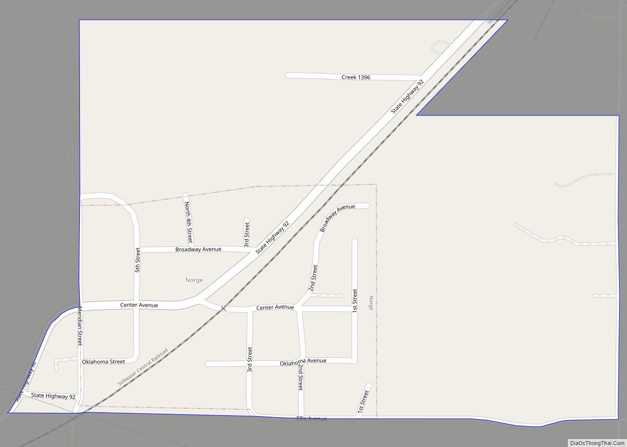
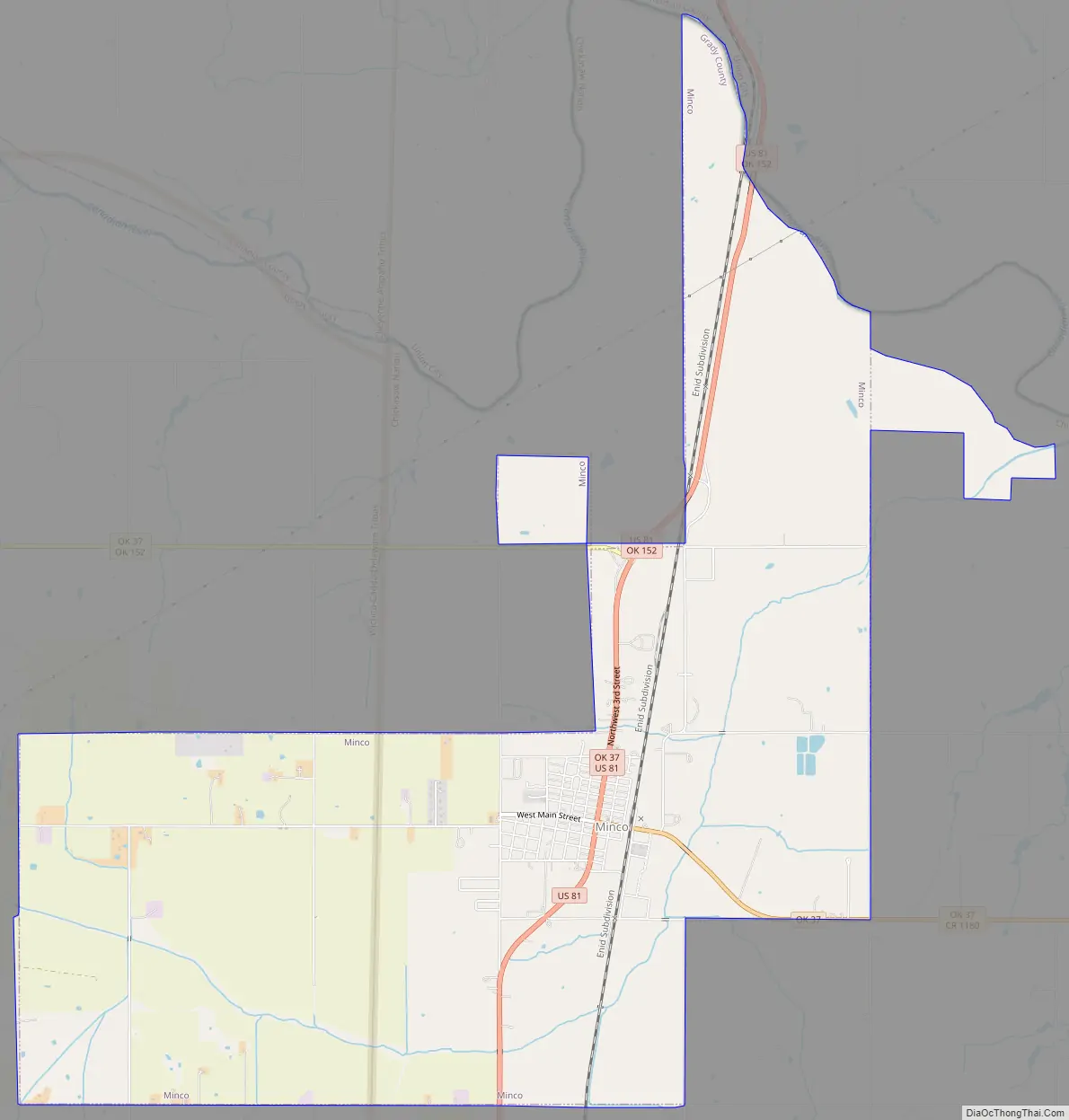
Minco Road Map
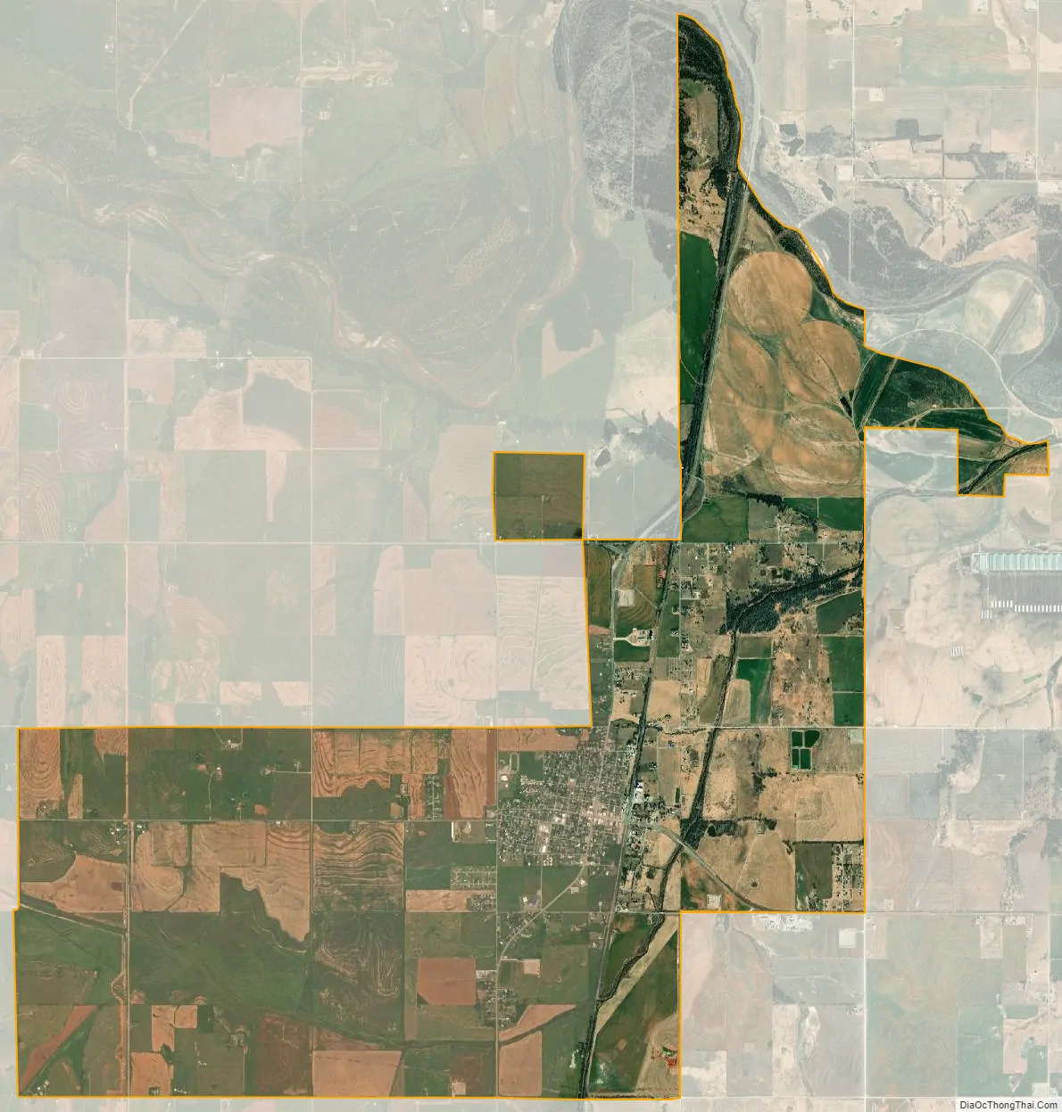
Minco city Satellite Map
Geography
Minco is located in northern Grady County at 35°18′56″N 97°56′45″W / 35.31556°N 97.94583°W / 35.31556; -97.94583 (35.315552, -97.945698). The city limits extend north to the Canadian River, which serves as the border with Canadian County. U.S. Route 81 passes through the center of town, leading north 16 miles (26 km) to El Reno and south 19 miles (31 km) to Chickasha, the Grady County seat. Oklahoma State Highway 37 leads east from the center of Minco 8 miles (13 km) to Tuttle and west from the northern part of Minco 10 miles (16 km) to Cogar. Oklahoma City is 35 miles (56 km) to the northeast of Minco.
According to the United States Census Bureau, the city has a total area of 12.3 square miles (31.9 km), of which 12.3 square miles (31.8 km) is land and 0.04 square miles (0.1 km), or 0.28%, is water.
A musical tour of the town by comic Lucas Ross can be seen here.
See also
Map of Oklahoma State and its subdivision:- Adair
- Alfalfa
- Atoka
- Beaver
- Beckham
- Blaine
- Bryan
- Caddo
- Canadian
- Carter
- Cherokee
- Choctaw
- Cimarron
- Cleveland
- Coal
- Comanche
- Cotton
- Craig
- Creek
- Custer
- Delaware
- Dewey
- Ellis
- Garfield
- Garvin
- Grady
- Grant
- Greer
- Harmon
- Harper
- Haskell
- Hughes
- Jackson
- Jefferson
- Johnston
- Kay
- Kingfisher
- Kiowa
- Latimer
- Le Flore
- Lincoln
- Logan
- Love
- Major
- Marshall
- Mayes
- McClain
- McCurtain
- McIntosh
- Murray
- Muskogee
- Noble
- Nowata
- Okfuskee
- Oklahoma
- Okmulgee
- Osage
- Ottawa
- Pawnee
- Payne
- Pittsburg
- Pontotoc
- Pottawatomie
- Pushmataha
- Roger Mills
- Rogers
- Seminole
- Sequoyah
- Stephens
- Texas
- Tillman
- Tulsa
- Wagoner
- Washington
- Washita
- Woods
- Woodward
- Alabama
- Alaska
- Arizona
- Arkansas
- California
- Colorado
- Connecticut
- Delaware
- District of Columbia
- Florida
- Georgia
- Hawaii
- Idaho
- Illinois
- Indiana
- Iowa
- Kansas
- Kentucky
- Louisiana
- Maine
- Maryland
- Massachusetts
- Michigan
- Minnesota
- Mississippi
- Missouri
- Montana
- Nebraska
- Nevada
- New Hampshire
- New Jersey
- New Mexico
- New York
- North Carolina
- North Dakota
- Ohio
- Oklahoma
- Oregon
- Pennsylvania
- Rhode Island
- South Carolina
- South Dakota
- Tennessee
- Texas
- Utah
- Vermont
- Virginia
- Washington
- West Virginia
- Wisconsin
- Wyoming