Tuttle is a city in Grady County, Oklahoma, United States. The population was 7,413 with the close of the 2020 census, seeing a 23.2% increase from 6,010 in 2010.
| Name: | Tuttle city |
|---|---|
| LSAD Code: | 25 |
| LSAD Description: | city (suffix) |
| State: | Oklahoma |
| County: | Grady County |
| Elevation: | 1,319 ft (402 m) |
| Total Area: | 29.49 sq mi (76.37 km²) |
| Land Area: | 29.48 sq mi (76.36 km²) |
| Water Area: | 0.01 sq mi (0.01 km²) |
| Total Population: | 7,413 |
| Population Density: | 251.45/sq mi (97.09/km²) |
| ZIP code: | 73089 |
| Area code: | 405 |
| FIPS code: | 4075450 |
| GNISfeature ID: | 1099088 |
| Website: | cityoftuttle.com |
Online Interactive Map
Click on ![]() to view map in "full screen" mode.
to view map in "full screen" mode.
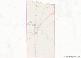
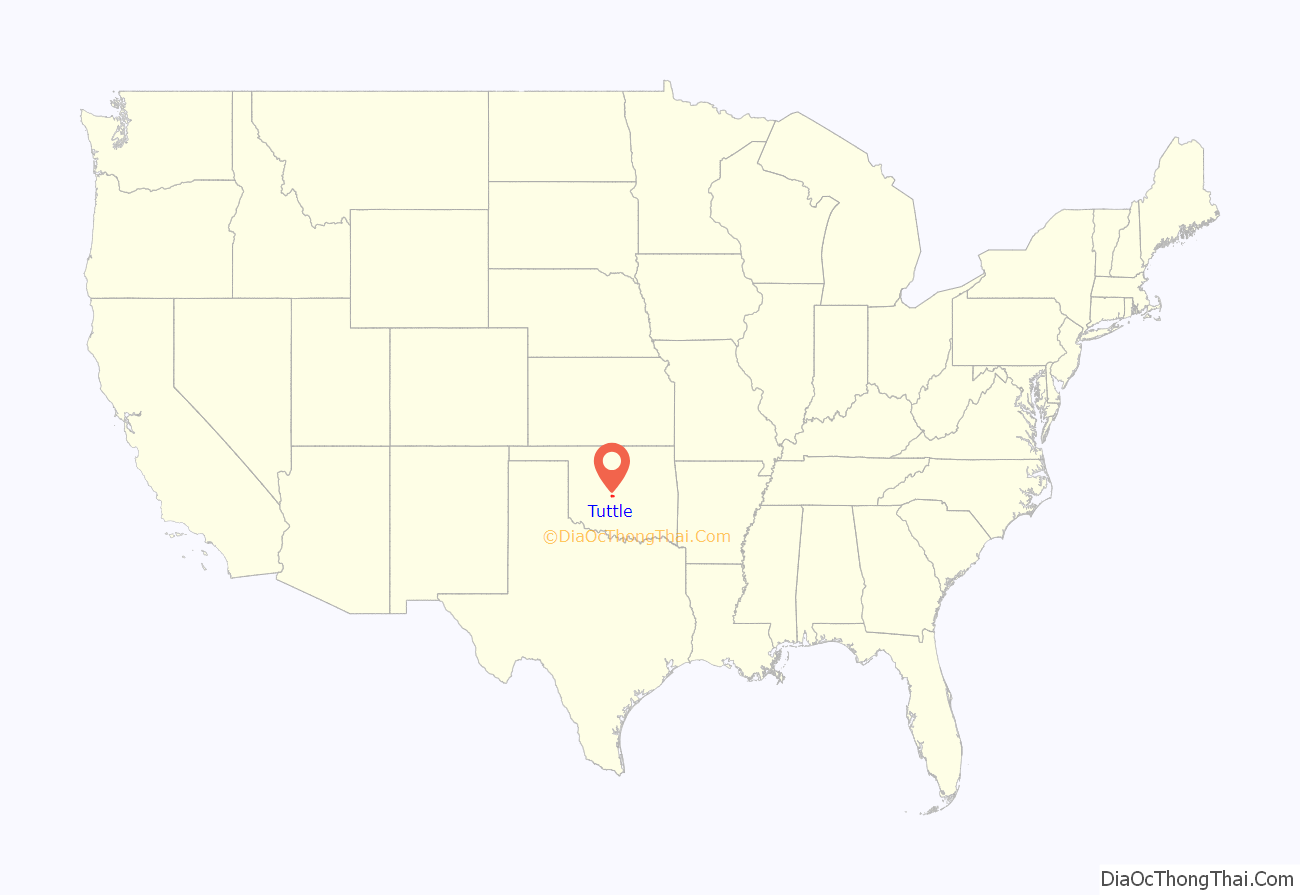
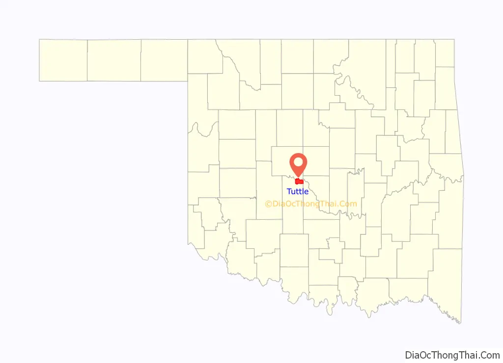
Tuttle location map. Where is Tuttle city?
History
Located east of the Chisholm Trail, Tuttle was developed as a farming and ranching community. The town was platted in 1901 and the land was purchased Chickasaw land from the Colbert Family. The town is named after local rancher James H. Tuttle, a Choctaw by marriage and the father of automobile dealer and politico Holmes Tuttle.
At the time of its founding, Tuttle was located in Pickens County, Chickasaw Nation.
The right-of-way for the St. Louis and San Francisco Railway came from the tribal allotment of Frances Schrock, a Choctaw. Schrock Park is named after her. Tuttle’s post office was established in 1902, and the town was incorporated in 1906.
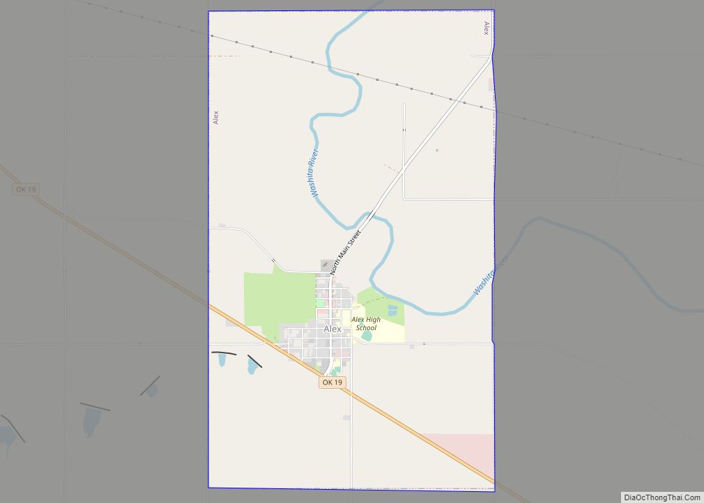
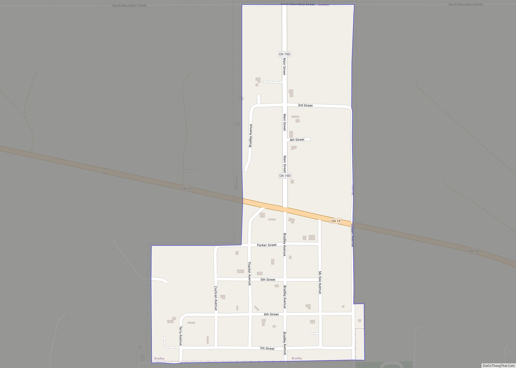
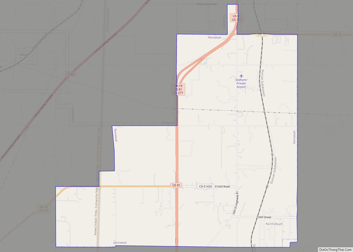
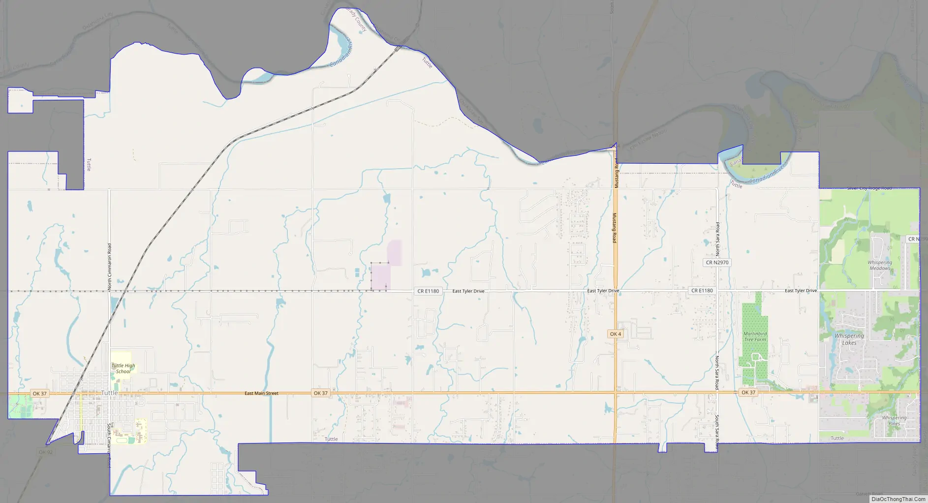
Tuttle Road Map
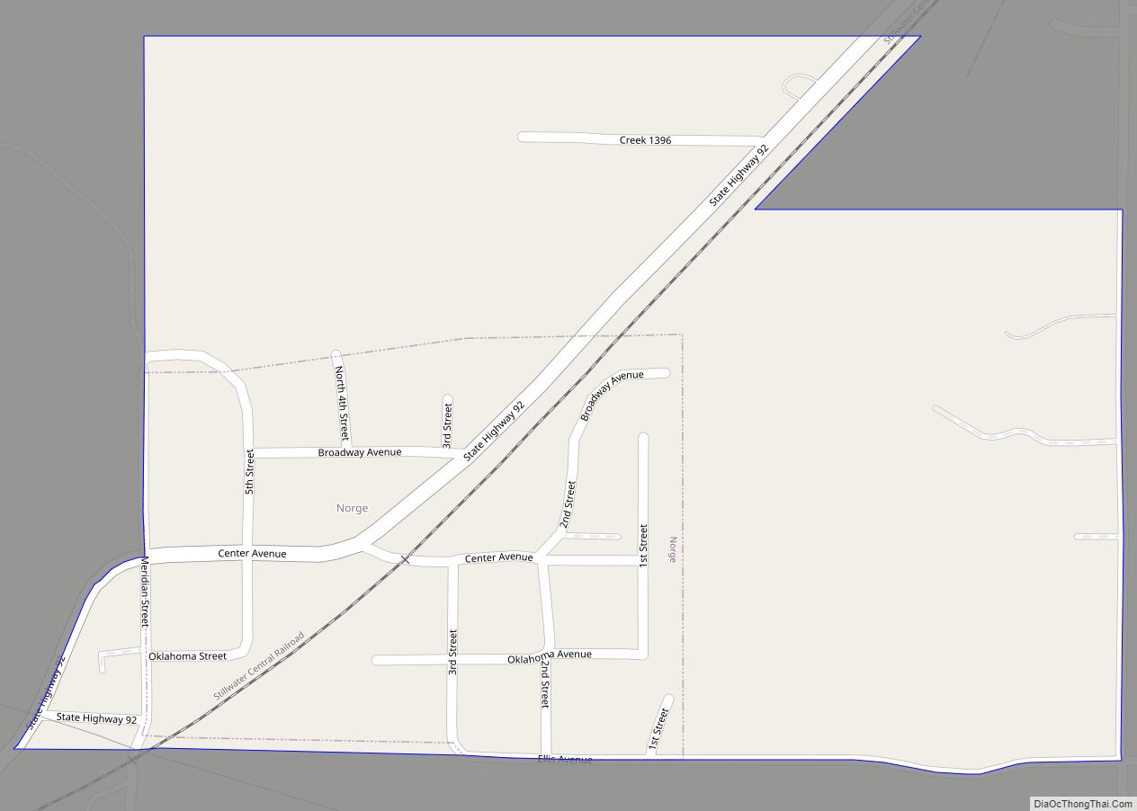
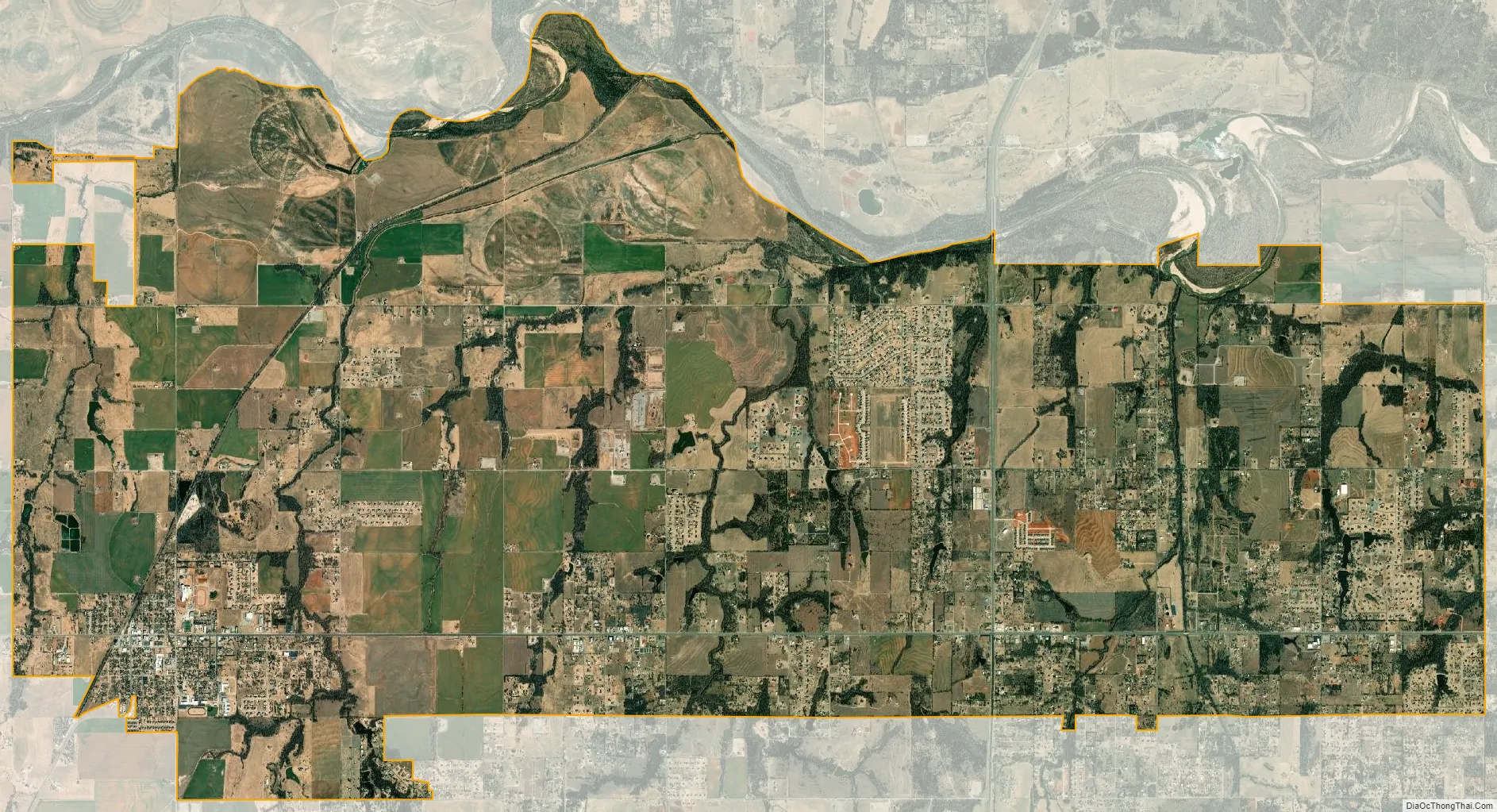
Tuttle city Satellite Map
Geography
Tuttle is located at 35°17′42″N 97°47′8″W / 35.29500°N 97.78556°W / 35.29500; -97.78556 (35.294963, -97.785683). According to the United States Census Bureau, the city has a total area of 29.2 square miles (76 km), all land.
Tuttle, located in a low-lying river basin along the South Canadian River, is considered to be part of a rapidly growing area of northern McClain and Grady Counties known as the “Tri-City Area” with Newcastle and Blanchard.
See also
Map of Oklahoma State and its subdivision:- Adair
- Alfalfa
- Atoka
- Beaver
- Beckham
- Blaine
- Bryan
- Caddo
- Canadian
- Carter
- Cherokee
- Choctaw
- Cimarron
- Cleveland
- Coal
- Comanche
- Cotton
- Craig
- Creek
- Custer
- Delaware
- Dewey
- Ellis
- Garfield
- Garvin
- Grady
- Grant
- Greer
- Harmon
- Harper
- Haskell
- Hughes
- Jackson
- Jefferson
- Johnston
- Kay
- Kingfisher
- Kiowa
- Latimer
- Le Flore
- Lincoln
- Logan
- Love
- Major
- Marshall
- Mayes
- McClain
- McCurtain
- McIntosh
- Murray
- Muskogee
- Noble
- Nowata
- Okfuskee
- Oklahoma
- Okmulgee
- Osage
- Ottawa
- Pawnee
- Payne
- Pittsburg
- Pontotoc
- Pottawatomie
- Pushmataha
- Roger Mills
- Rogers
- Seminole
- Sequoyah
- Stephens
- Texas
- Tillman
- Tulsa
- Wagoner
- Washington
- Washita
- Woods
- Woodward
- Alabama
- Alaska
- Arizona
- Arkansas
- California
- Colorado
- Connecticut
- Delaware
- District of Columbia
- Florida
- Georgia
- Hawaii
- Idaho
- Illinois
- Indiana
- Iowa
- Kansas
- Kentucky
- Louisiana
- Maine
- Maryland
- Massachusetts
- Michigan
- Minnesota
- Mississippi
- Missouri
- Montana
- Nebraska
- Nevada
- New Hampshire
- New Jersey
- New Mexico
- New York
- North Carolina
- North Dakota
- Ohio
- Oklahoma
- Oregon
- Pennsylvania
- Rhode Island
- South Carolina
- South Dakota
- Tennessee
- Texas
- Utah
- Vermont
- Virginia
- Washington
- West Virginia
- Wisconsin
- Wyoming