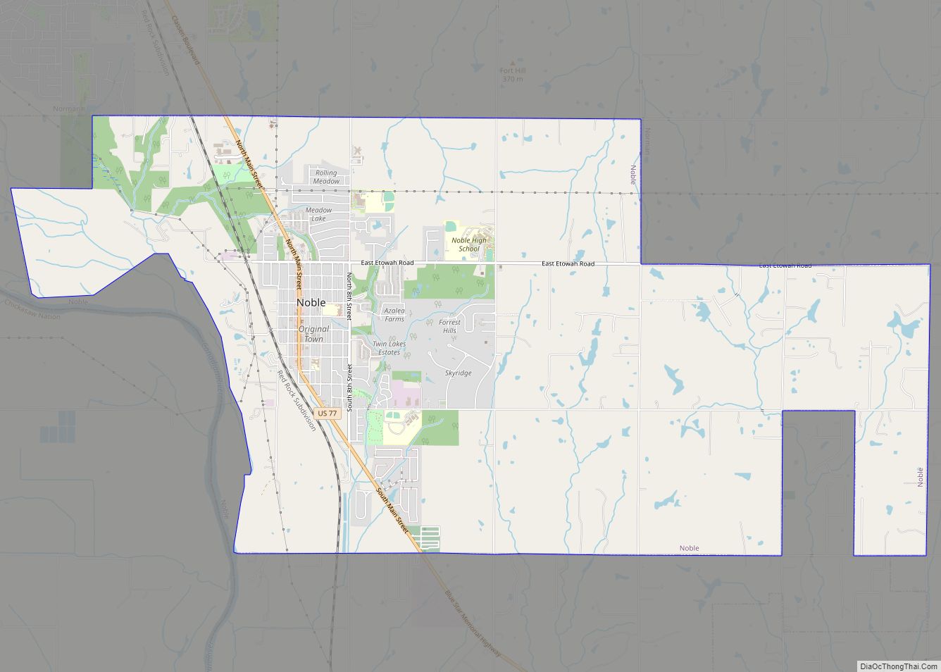
Noble is a city in Cleveland County, Oklahoma, United States, and is part of the Oklahoma City Metropolitan Area. The population was 6,985 at the 2020 census, a 7.8% increase from 2010. Noble is Cleveland County’s third-largest city behind Norman and Moore.
| Name: | Noble city |
|---|---|
| LSAD Code: | 25 |
| LSAD Description: | city (suffix) |
| State: | Oklahoma |
| County: | Cleveland County |
| Elevation: | 1,194 ft (364 m) |
| Total Area: | 12.97 sq mi (33.60 km²) |
| Land Area: | 12.76 sq mi (33.04 km²) |
| Water Area: | 0.21 sq mi (0.56 km²) |
| Total Population: | 6,985 |
| Population Density: | 547.54/sq mi (211.40/km²) |
| ZIP code: | 73068 |
| Area code: | 405/572 |
| FIPS code: | 4052150 |
| GNISfeature ID: | 1095892 |
| Website: | cityofnoble.org |
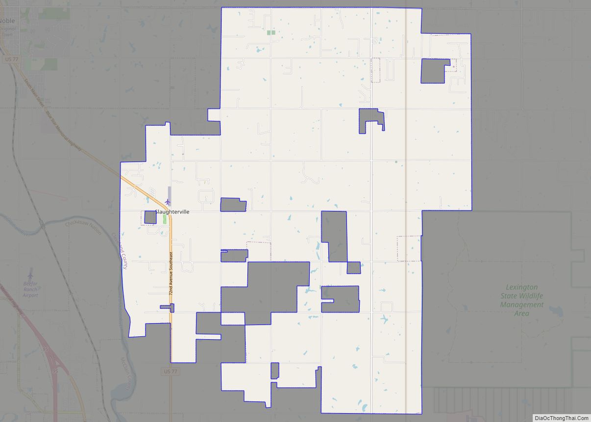
Online Interactive Map
Click on ![]() to view map in "full screen" mode.
to view map in "full screen" mode.
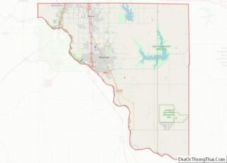
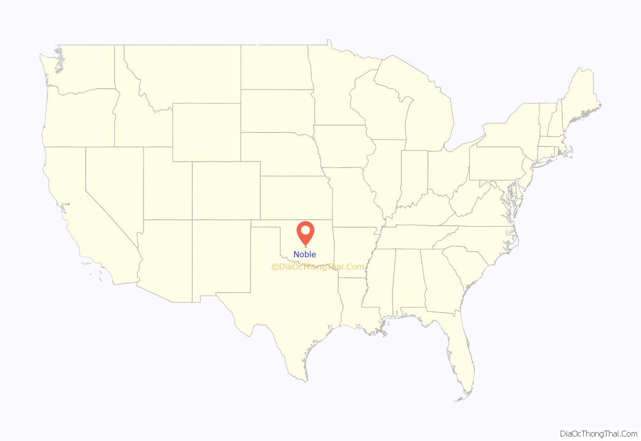
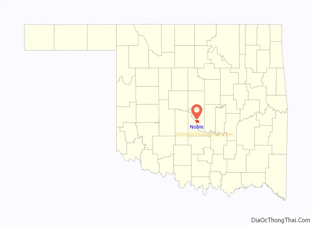
Noble location map. Where is Noble city?
History
On April 22, 1889, the day the first Oklahoma “Land Run” opened the Unassigned Lands in the middle of Indian Territory to settlers, J.W. Klinglesmith, Albert Rennie and several other businessmen forded the South Canadian River and laid claim to the 160-acre (65 ha) town site that was to become Noble. The town was named in honor of Secretary of the Interior John Noble, who was instrumental in opening the Unassigned Lands to settlement. The group had great plans for Noble, hoping it would become the future county seat.
The Santa Fe Railroad completed a railroad depot in Noble in August 1889. For several years, Noble was a major shipping point for cattle and other goods from both sides of the Canadian River. Business prospered even more when Charles Edwin Garee built a new suspension toll bridge across the Canadian River in 1898.
The suspension bridge washed out in 1904 and other communities began developing nearby. The last passenger train stopped in Noble in 1944 and the depot was moved.
Rose Rock Capital of the World
Noble considers itself to be the “Rose Rock Capital of the World”, as the concentration of barium sulfate in the soil is believed to be higher there than anywhere else, causing the formation of rose rocks. Similar formations are found throughout Cleveland County and the Wichita and Ouachita Mountains. Noble sets aside the first Saturday each May to celebrate its annual Rose Rock Festival. Local geologist Joe Stine and his wife opened the Timberlake Rose Rock Museum in 1986 and closed it in 2019.
Noble Road Map
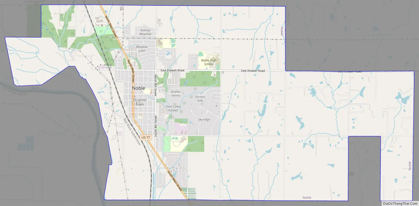
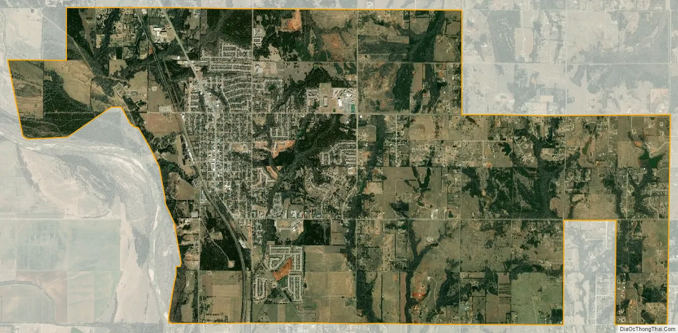
Noble city Satellite Map
Geography
Noble is located along the southwest edge of Cleveland County at 35°8′28″N 97°23′20″W / 35.14111°N 97.38889°W / 35.14111; -97.38889 (35.141173, -97.388807). It is bordered to the north by Norman, to the east by Slaughterville, and to the west by the Canadian River, across which is McClain County. U.S. Route 77 passes through Noble, leading north 28 miles (45 km) to the center of Oklahoma City and south 11 miles (18 km) to Purcell.
According to the United States Census Bureau, Noble has a total area of 13.3 square miles (34.5 km), of which 13.1 square miles (33.9 km) is land and 0.23 square miles (0.6 km), or 1.72%, is water.
See also
Map of Oklahoma State and its subdivision:- Adair
- Alfalfa
- Atoka
- Beaver
- Beckham
- Blaine
- Bryan
- Caddo
- Canadian
- Carter
- Cherokee
- Choctaw
- Cimarron
- Cleveland
- Coal
- Comanche
- Cotton
- Craig
- Creek
- Custer
- Delaware
- Dewey
- Ellis
- Garfield
- Garvin
- Grady
- Grant
- Greer
- Harmon
- Harper
- Haskell
- Hughes
- Jackson
- Jefferson
- Johnston
- Kay
- Kingfisher
- Kiowa
- Latimer
- Le Flore
- Lincoln
- Logan
- Love
- Major
- Marshall
- Mayes
- McClain
- McCurtain
- McIntosh
- Murray
- Muskogee
- Noble
- Nowata
- Okfuskee
- Oklahoma
- Okmulgee
- Osage
- Ottawa
- Pawnee
- Payne
- Pittsburg
- Pontotoc
- Pottawatomie
- Pushmataha
- Roger Mills
- Rogers
- Seminole
- Sequoyah
- Stephens
- Texas
- Tillman
- Tulsa
- Wagoner
- Washington
- Washita
- Woods
- Woodward
- Alabama
- Alaska
- Arizona
- Arkansas
- California
- Colorado
- Connecticut
- Delaware
- District of Columbia
- Florida
- Georgia
- Hawaii
- Idaho
- Illinois
- Indiana
- Iowa
- Kansas
- Kentucky
- Louisiana
- Maine
- Maryland
- Massachusetts
- Michigan
- Minnesota
- Mississippi
- Missouri
- Montana
- Nebraska
- Nevada
- New Hampshire
- New Jersey
- New Mexico
- New York
- North Carolina
- North Dakota
- Ohio
- Oklahoma
- Oregon
- Pennsylvania
- Rhode Island
- South Carolina
- South Dakota
- Tennessee
- Texas
- Utah
- Vermont
- Virginia
- Washington
- West Virginia
- Wisconsin
- Wyoming