Perkins (Iowa-Oto: Pékinⁿ Chína^i) is a city in southern Payne County, Oklahoma, United States. The population was 2,831 at the 2010 census, an increase of 24.6 percent from the figure of 2,272 in 2000. The name is derived from Walden Perkins, a congressman who helped establish the local post office. The Iowa Tribe of Oklahoma is headquartered here.
| Name: | Perkins city |
|---|---|
| LSAD Code: | 25 |
| LSAD Description: | city (suffix) |
| State: | Oklahoma |
| County: | Payne County |
| Elevation: | 899 ft (274 m) |
| Total Area: | 2.92 sq mi (7.57 km²) |
| Land Area: | 2.92 sq mi (7.56 km²) |
| Water Area: | 0.00 sq mi (0.01 km²) |
| Total Population: | 3,205 |
| Population Density: | 1,097.98/sq mi (423.88/km²) |
| ZIP code: | 74059 |
| Area code: | 405/572 |
| FIPS code: | 4058150 |
| GNISfeature ID: | 1096551 |
| Website: | cityofperkins.net |
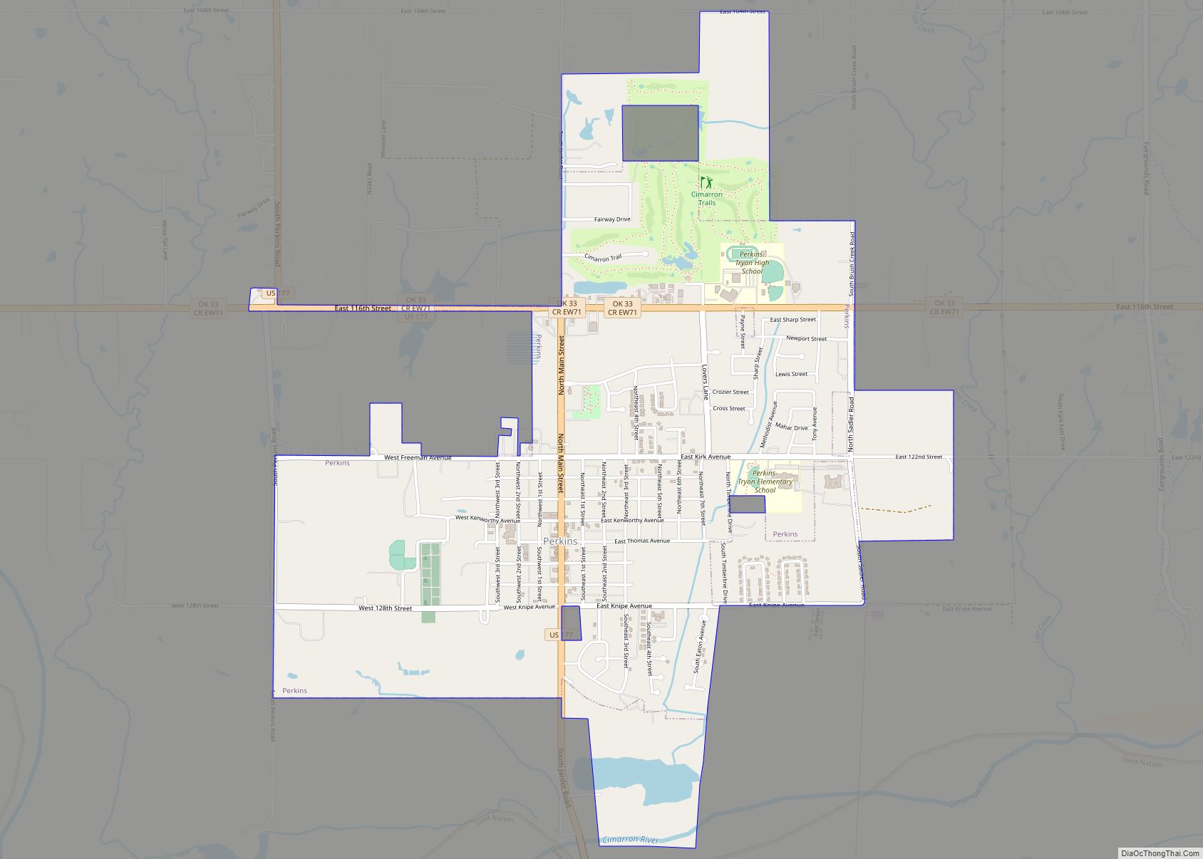
Online Interactive Map
Click on ![]() to view map in "full screen" mode.
to view map in "full screen" mode.
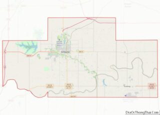
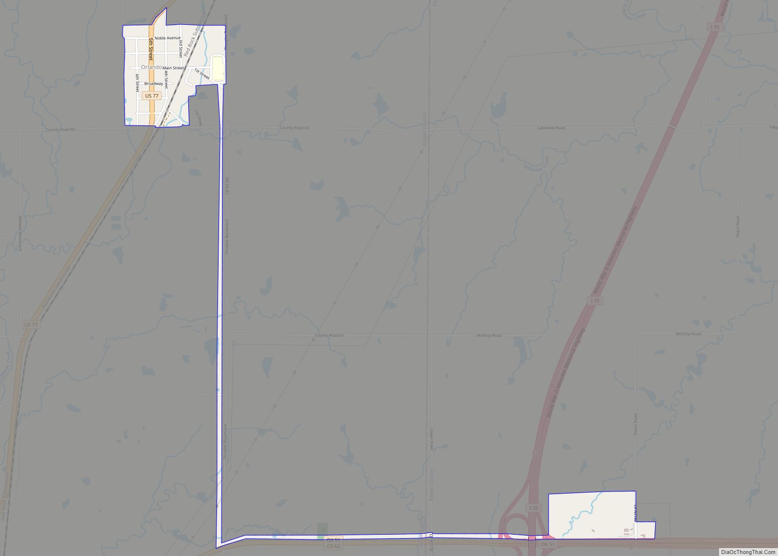
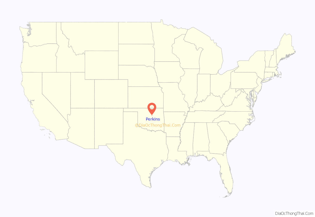
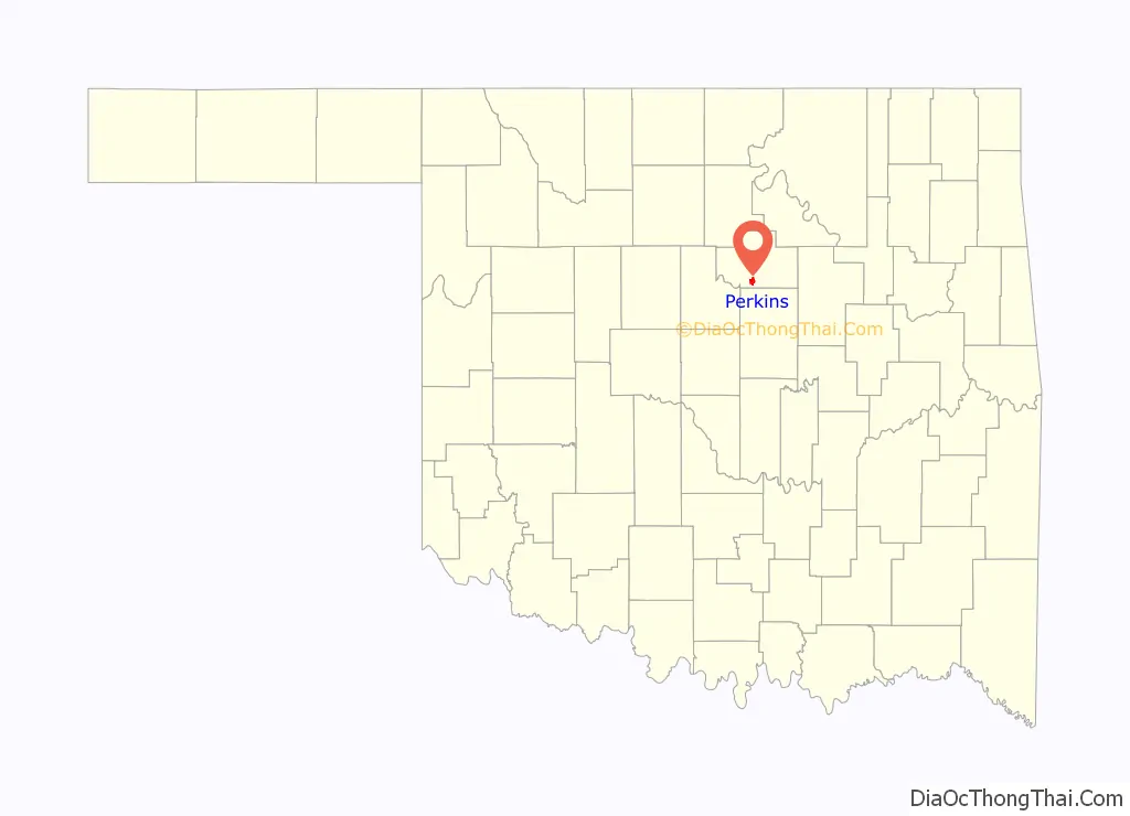
Perkins location map. Where is Perkins city?
History
Perkins was founded during the Land Run in April 1889. Joseph Wert staked a claim for 160 acres and offered up 40 acres of his land to be established as a township. The town went through three names in its first year- Cimarron, Italy, and then Perkins. The last name was for Bishop Walden Perkins, a congressman from Kansas who pulled strings to establish the post office for the new township. The town of Perkins incorporated on August 25, 1891.
Though Perkins was settled in 1889, it celebrates Old Settlers Day around Sept 22. This is the anniversary of the Land Run of 1891. Being on the north side of the Cimarron River, it was one of the starting points for the Run of 1891.
The first wagon bridge across the Cimarron River was built during the summer of 1891. On September 22, 1891, the Sac and Fox and Iowa reservations officially opened. By January 1900, the Eastern Oklahoma Railway began service, establishing the town as an agricultural trade center.
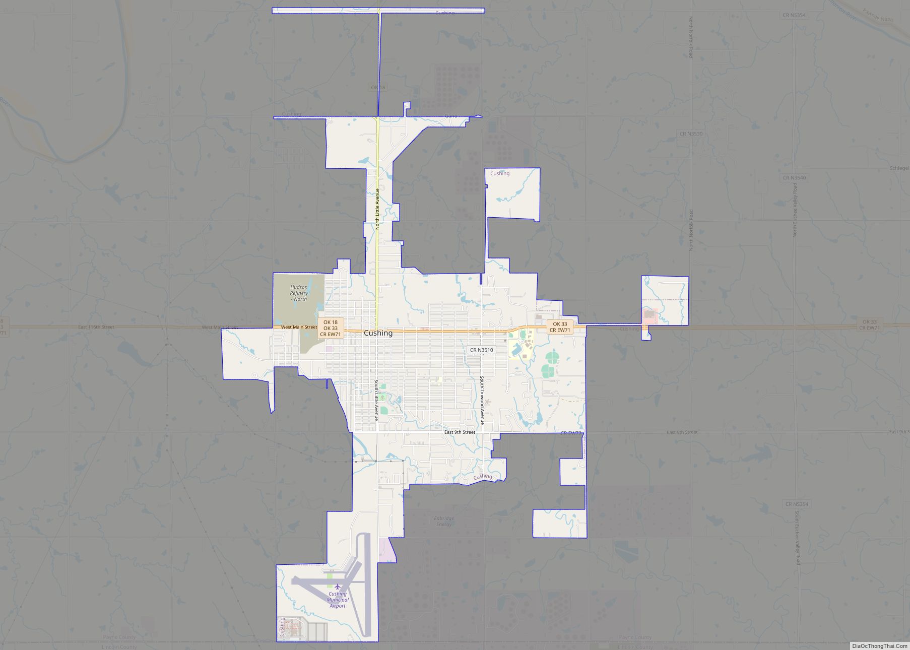
Perkins Road Map
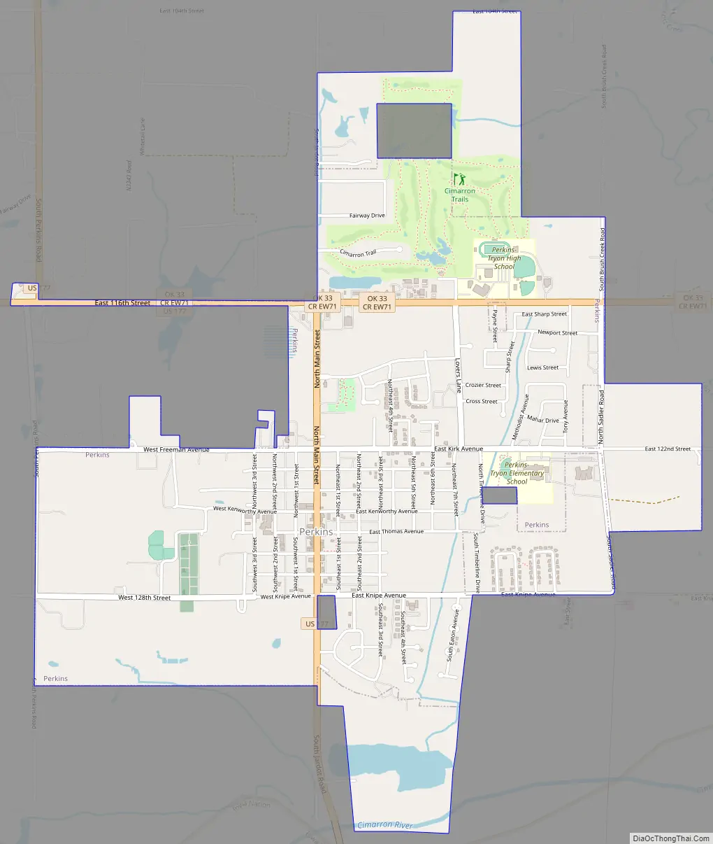
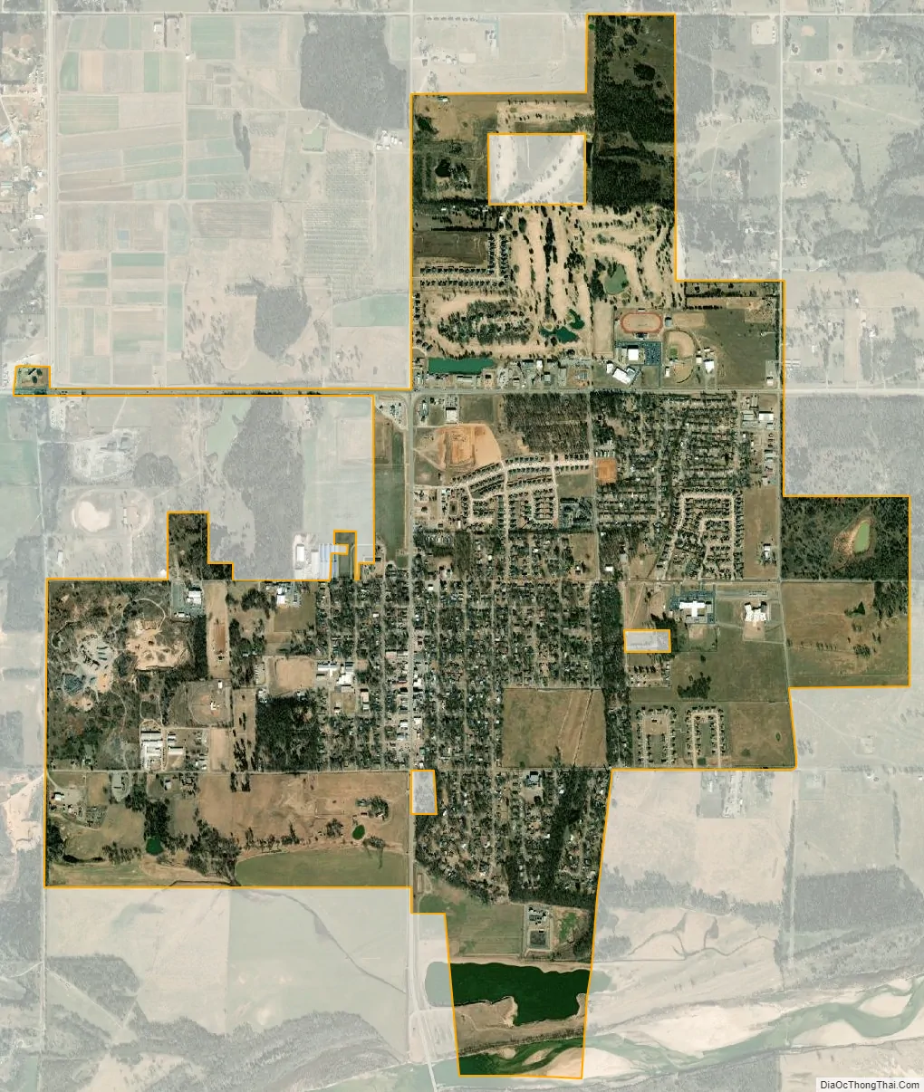
Perkins city Satellite Map
Geography
Perkins is located at 35°58′36″N 97°01′55″W / 35.976598°N 97.031813°W / 35.976598; -97.031813. It is on the north bank of the Cimarron River. According to the United States Census Bureau, the town has a total area of 2.2 square miles (5.7 km), all land. Perkins is located on U.S. Route 177, south of its junction with State Highway 33.
See also
Map of Oklahoma State and its subdivision:- Adair
- Alfalfa
- Atoka
- Beaver
- Beckham
- Blaine
- Bryan
- Caddo
- Canadian
- Carter
- Cherokee
- Choctaw
- Cimarron
- Cleveland
- Coal
- Comanche
- Cotton
- Craig
- Creek
- Custer
- Delaware
- Dewey
- Ellis
- Garfield
- Garvin
- Grady
- Grant
- Greer
- Harmon
- Harper
- Haskell
- Hughes
- Jackson
- Jefferson
- Johnston
- Kay
- Kingfisher
- Kiowa
- Latimer
- Le Flore
- Lincoln
- Logan
- Love
- Major
- Marshall
- Mayes
- McClain
- McCurtain
- McIntosh
- Murray
- Muskogee
- Noble
- Nowata
- Okfuskee
- Oklahoma
- Okmulgee
- Osage
- Ottawa
- Pawnee
- Payne
- Pittsburg
- Pontotoc
- Pottawatomie
- Pushmataha
- Roger Mills
- Rogers
- Seminole
- Sequoyah
- Stephens
- Texas
- Tillman
- Tulsa
- Wagoner
- Washington
- Washita
- Woods
- Woodward
- Alabama
- Alaska
- Arizona
- Arkansas
- California
- Colorado
- Connecticut
- Delaware
- District of Columbia
- Florida
- Georgia
- Hawaii
- Idaho
- Illinois
- Indiana
- Iowa
- Kansas
- Kentucky
- Louisiana
- Maine
- Maryland
- Massachusetts
- Michigan
- Minnesota
- Mississippi
- Missouri
- Montana
- Nebraska
- Nevada
- New Hampshire
- New Jersey
- New Mexico
- New York
- North Carolina
- North Dakota
- Ohio
- Oklahoma
- Oregon
- Pennsylvania
- Rhode Island
- South Carolina
- South Dakota
- Tennessee
- Texas
- Utah
- Vermont
- Virginia
- Washington
- West Virginia
- Wisconsin
- Wyoming