Paris is a city and county seat of Lamar County, Texas, United States. Located in Northeast Texas at the western edge of the Piney Woods, the population of the city was 24,171 in 2020.
| Name: | Paris city |
|---|---|
| LSAD Code: | 25 |
| LSAD Description: | city (suffix) |
| State: | Texas |
| County: | Lamar County |
| Elevation: | 600 ft (183 m) |
| Total Area: | 37.07 sq mi (96.00 km²) |
| Land Area: | 35.19 sq mi (91.14 km²) |
| Water Area: | 1.88 sq mi (4.86 km²) |
| Total Population: | 24,171 |
| Population Density: | 650/sq mi (250/km²) |
| ZIP code: | 75460-75462 |
| Area code: | 903/430 |
| FIPS code: | 4855080 |
| GNISfeature ID: | 1364810 |
| Website: | paristexas.gov |
Online Interactive Map
Click on ![]() to view map in "full screen" mode.
to view map in "full screen" mode.
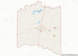
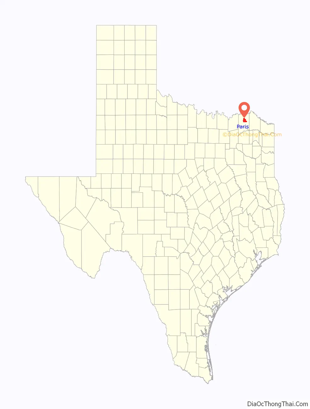
Paris location map. Where is Paris city?

History
Present-day Lamar County was part of Red River County during the Republic of Texas. By 1840, population growth necessitated the organization of a new county. George Washington Wright, who had served in the Third Congress of the Republic of Texas as a representative from Red River County, was a major proponent of the new county. The Fifth Congress established the new county on December 17, 1840, and named it after Mirabeau B. Lamar, who was the first Vice President and the second President of the Republic of Texas.
Lamar County was one of the 18 Texas counties that voted against secession on February 23, 1861.
In 1877, 1896, and 1916, major fires in the city forced considerable rebuilding. The 1916 fire destroyed almost half the town and caused an estimated $11 million in property damage. The fire ruined most of the central business district and swept through a residential area. The burned structures included the Federal Building and Post Office, the Lamar County Courthouse and Jail, City Hall, most commercial buildings, and several churches.
In 1893, black teenager Henry Smith was accused of murder, tortured, and then burned to death on a scaffold in front of thousands of spectators in Paris. In 1920, two black brothers from the Arthur family were tied to a flagpole and burned to death at the Paris fairgrounds. The city has prominent memorials to the Confederacy.
In 1943, the U.S. Supreme Court in Largent v. Texas struck down a Paris ordinance that prohibited a person from selling or distributing religious publications without first obtaining a city-issued permit. The Court ruled that the ordinance abridged freedom of religion, freedom of speech, and freedom of the press in violation of the Fourteenth Amendment.
Following a tradition of American cities named “Paris” (named after France’s capital), the city commissioned a 65-foot-tall (20 m) replica of the Eiffel Tower in 1993 and installed it on site of the Love Civic Center, southeast of the town square. In 1998, presumably as a response to the 1993 construction of a 60-foot-tall (18 m) tower in Paris, Tennessee, the city placed a giant red cowboy hat atop its tower. The current Eiffel Tower replica is at least the second one; an earlier replica constructed of wood was destroyed by a tornado.
Race relations
Race relations in Paris were described by Newsweek as “turbulent” and sometimes “explosive”. In the late-19th and early-20th centuries, several lynchings of African-Americans were staged at the Paris Fairgrounds. A black teenager, Henry Smith, lynched in 1893, was the first in US history captured in photographs. Other lynchings included Irving and Herman Arthur in 1920.
In 2008, an African-American man, Brandon McClelland, was run over and dragged to death by two white men, who were not prosecuted due to lack of evidence. A rally over the death in 2009 had groups shouting “white power” and “black power”.
Other incidents included sentencing disparities between black and white juveniles, racist flags and graffiti, school discipline disparities, and racist labor practices.
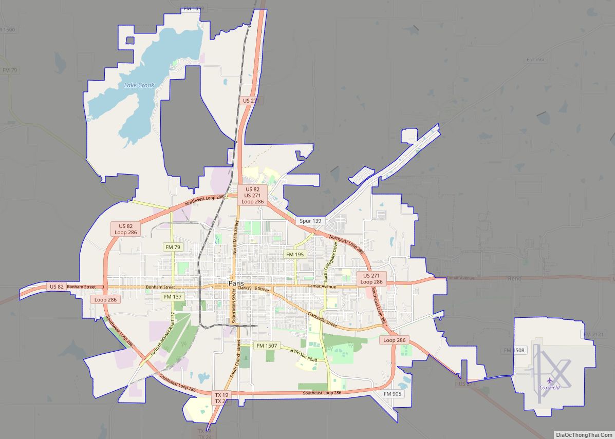
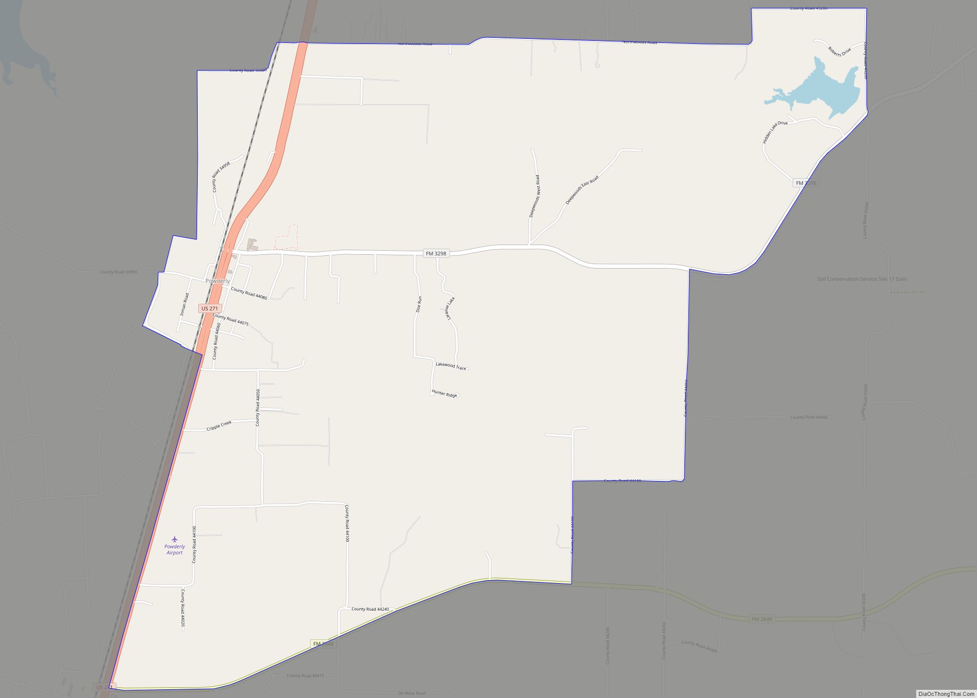
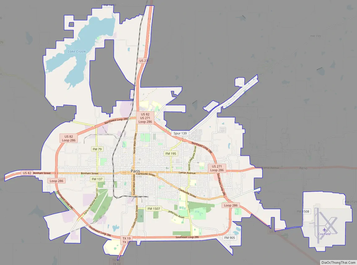
Paris Road Map
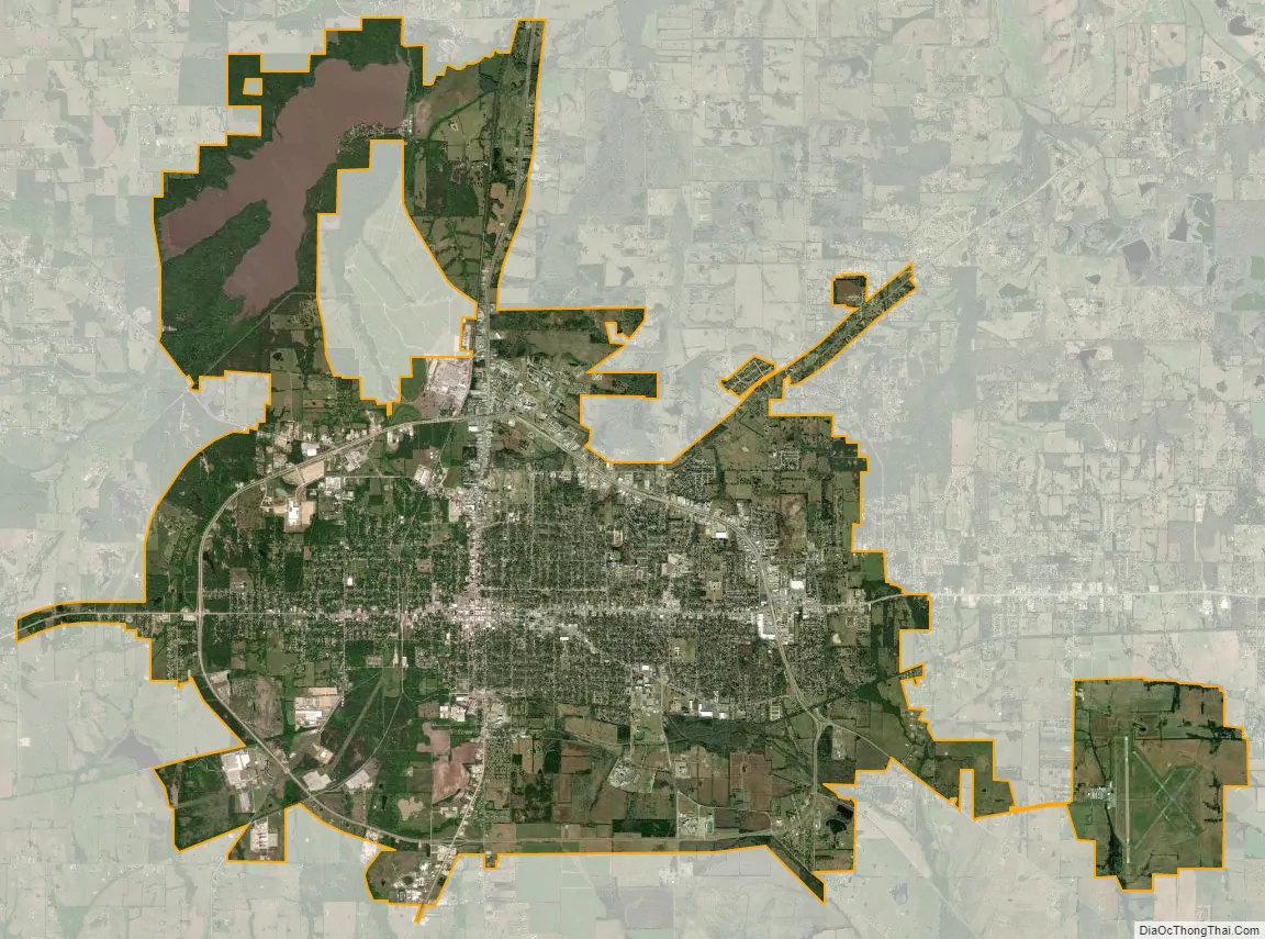
Paris city Satellite Map
Geography
According to the U.S. Census Bureau, the city has a total area of 44.4 square miles (115 km), of which 42.8 square miles (111 km) are land and 1.7 square miles (4.4 km) (3.74%) are covered by water.
Paris has a humid subtropical climate (Cfa in the Köppen climate classification). It is located in “Tornado Alley”, an area largely centered in the middle of the United States in which tornadoes occur frequently because of weather patterns and geography. Paris is in USDA plant hardiness zone 8a for winter temperatures. This is cooler than its southern neighbor Dallas, and while similar to Atlanta, Georgia, it has warmer summertime temperatures. Summertime average highs reach 94 and 95 °F (34 and 35 °C) in July and August, with associated lows of 72 and 71 °F (22 and 22 °C). Winter temperatures drop to an average high of 51 °F (11 °C) and low of 30 °F (−1 °C) in January. The highest temperature on record was 115 °F (46 °C), set in August 1936, and the record low was −5 °F (−21 °C), set in 1930. Average precipitation is 47.82 in (1,215 mm). Snow is not unusual, but is by no means predictable, and years can pass with no snowfall at all.
On April 2, 1982, Paris was hit by an F4 tornado that destroyed more than 1,500 homes, and left 10 people dead, 170 injured, and 3,000 homeless. The damage toll from this tornado was estimated at US$50 million in 1982.
Climate
According to the Köppen Climate Classification system, Paris has a humid subtropical climate, abbreviated “Cfa” on climate maps. The hottest temperature recorded in Paris was 115 °F (46.1 °C) in August 1936, while the coldest temperature recorded was −5 °F (−20.6 °C) in January 1930.
See also
Map of Texas State and its subdivision:- Anderson
- Andrews
- Angelina
- Aransas
- Archer
- Armstrong
- Atascosa
- Austin
- Bailey
- Bandera
- Bastrop
- Baylor
- Bee
- Bell
- Bexar
- Blanco
- Borden
- Bosque
- Bowie
- Brazoria
- Brazos
- Brewster
- Briscoe
- Brooks
- Brown
- Burleson
- Burnet
- Caldwell
- Calhoun
- Callahan
- Cameron
- Camp
- Carson
- Cass
- Castro
- Chambers
- Cherokee
- Childress
- Clay
- Cochran
- Coke
- Coleman
- Collin
- Collingsworth
- Colorado
- Comal
- Comanche
- Concho
- Cooke
- Coryell
- Cottle
- Crane
- Crockett
- Crosby
- Culberson
- Dallam
- Dallas
- Dawson
- Deaf Smith
- Delta
- Denton
- Dewitt
- Dickens
- Dimmit
- Donley
- Duval
- Eastland
- Ector
- Edwards
- El Paso
- Ellis
- Erath
- Falls
- Fannin
- Fayette
- Fisher
- Floyd
- Foard
- Fort Bend
- Franklin
- Freestone
- Frio
- Gaines
- Galveston
- Garza
- Gillespie
- Glasscock
- Goliad
- Gonzales
- Gray
- Grayson
- Gregg
- Grimes
- Guadalupe
- Hale
- Hall
- Hamilton
- Hansford
- Hardeman
- Hardin
- Harris
- Harrison
- Hartley
- Haskell
- Hays
- Hemphill
- Henderson
- Hidalgo
- Hill
- Hockley
- Hood
- Hopkins
- Houston
- Howard
- Hudspeth
- Hunt
- Hutchinson
- Irion
- Jack
- Jackson
- Jasper
- Jeff Davis
- Jefferson
- Jim Hogg
- Jim Wells
- Johnson
- Jones
- Karnes
- Kaufman
- Kendall
- Kenedy
- Kent
- Kerr
- Kimble
- King
- Kinney
- Kleberg
- Knox
- La Salle
- Lamar
- Lamb
- Lampasas
- Lavaca
- Lee
- Leon
- Liberty
- Limestone
- Lipscomb
- Live Oak
- Llano
- Loving
- Lubbock
- Lynn
- Madison
- Marion
- Martin
- Mason
- Matagorda
- Maverick
- McCulloch
- McLennan
- McMullen
- Medina
- Menard
- Midland
- Milam
- Mills
- Mitchell
- Montague
- Montgomery
- Moore
- Morris
- Motley
- Nacogdoches
- Navarro
- Newton
- Nolan
- Nueces
- Ochiltree
- Oldham
- Orange
- Palo Pinto
- Panola
- Parker
- Parmer
- Pecos
- Polk
- Potter
- Presidio
- Rains
- Randall
- Reagan
- Real
- Red River
- Reeves
- Refugio
- Roberts
- Robertson
- Rockwall
- Runnels
- Rusk
- Sabine
- San Augustine
- San Jacinto
- San Patricio
- San Saba
- Schleicher
- Scurry
- Shackelford
- Shelby
- Sherman
- Smith
- Somervell
- Starr
- Stephens
- Sterling
- Stonewall
- Sutton
- Swisher
- Tarrant
- Taylor
- Terrell
- Terry
- Throckmorton
- Titus
- Tom Green
- Travis
- Trinity
- Tyler
- Upshur
- Upton
- Uvalde
- Val Verde
- Van Zandt
- Victoria
- Walker
- Waller
- Ward
- Washington
- Webb
- Wharton
- Wheeler
- Wichita
- Wilbarger
- Willacy
- Williamson
- Wilson
- Winkler
- Wise
- Wood
- Yoakum
- Young
- Zapata
- Zavala
- Alabama
- Alaska
- Arizona
- Arkansas
- California
- Colorado
- Connecticut
- Delaware
- District of Columbia
- Florida
- Georgia
- Hawaii
- Idaho
- Illinois
- Indiana
- Iowa
- Kansas
- Kentucky
- Louisiana
- Maine
- Maryland
- Massachusetts
- Michigan
- Minnesota
- Mississippi
- Missouri
- Montana
- Nebraska
- Nevada
- New Hampshire
- New Jersey
- New Mexico
- New York
- North Carolina
- North Dakota
- Ohio
- Oklahoma
- Oregon
- Pennsylvania
- Rhode Island
- South Carolina
- South Dakota
- Tennessee
- Texas
- Utah
- Vermont
- Virginia
- Washington
- West Virginia
- Wisconsin
- Wyoming