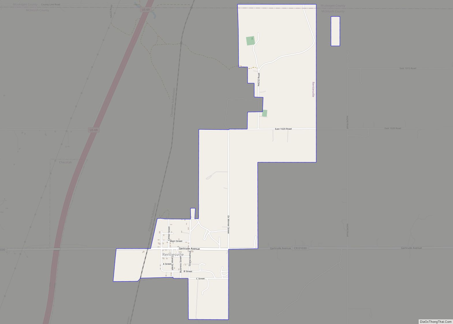
Rentiesville is a town in McIntosh County, Oklahoma, United States. It was founded in 1903 and named for William Rentie, a local landowner. It was one of 50 all-black towns in Oklahoma and one of 13 that still survives. The population was 128 at the 2010 census, an increase of 25.5 percent from 102 in 2000.
| Name: | Rentiesville town |
|---|---|
| LSAD Code: | 43 |
| LSAD Description: | town (suffix) |
| State: | Oklahoma |
| County: | McIntosh County |
| Elevation: | 600 ft (183 m) |
| Total Area: | 1.67 sq mi (4.32 km²) |
| Land Area: | 1.67 sq mi (4.32 km²) |
| Water Area: | 0.00 sq mi (0.00 km²) |
| Total Population: | 103 |
| Population Density: | 61.75/sq mi (23.84/km²) |
| ZIP code: | 74459 |
| Area code: | 539/918 |
| FIPS code: | 4062950 |
| GNISfeature ID: | 1097165 |
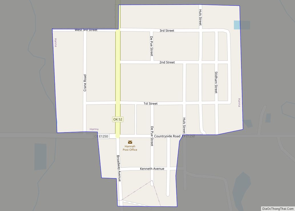
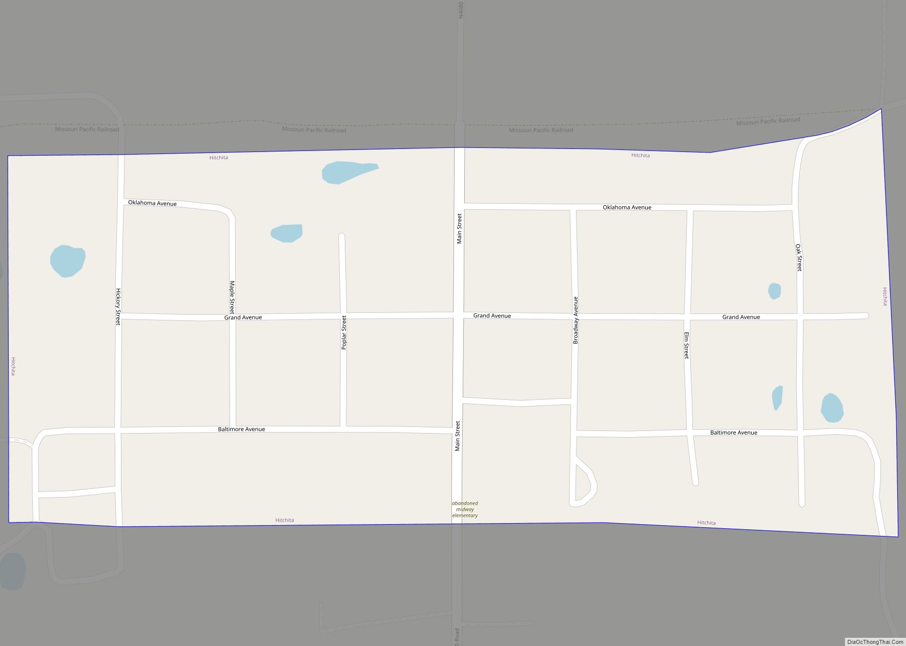
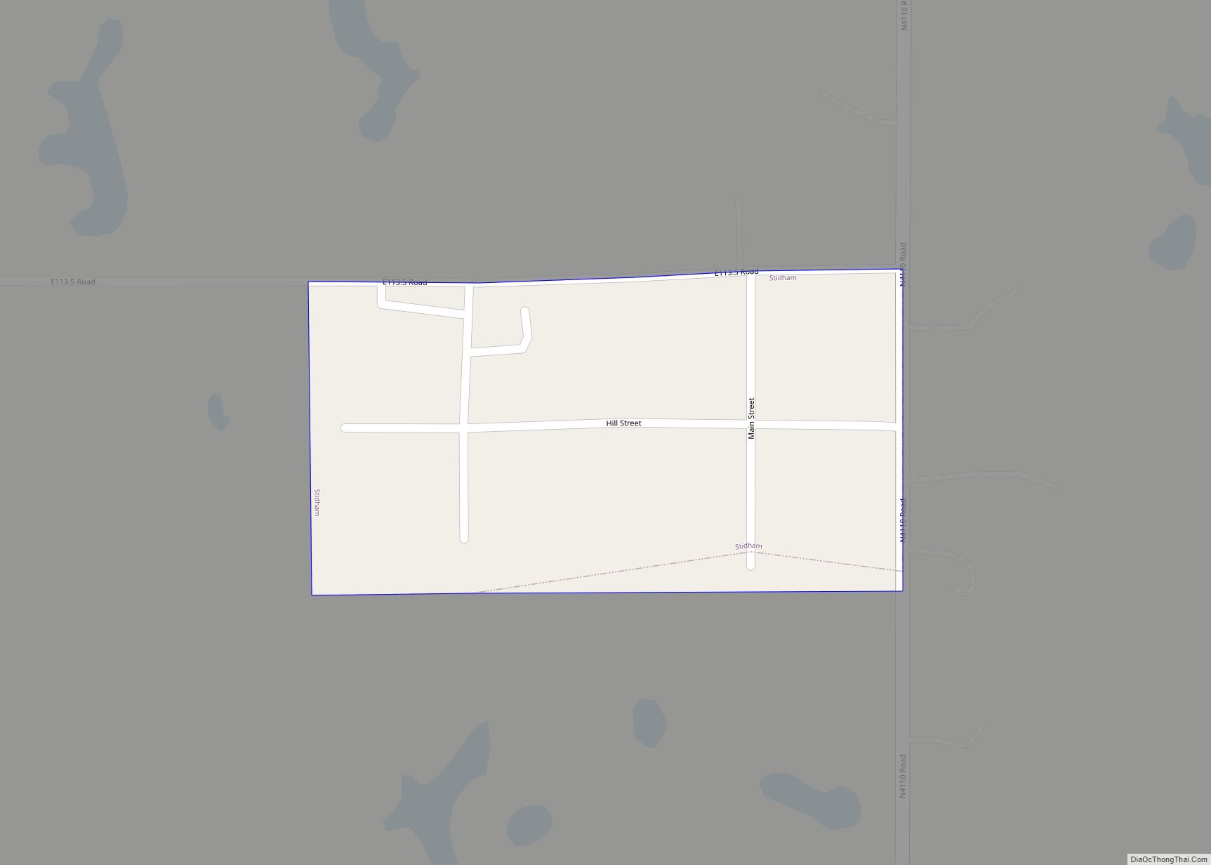
Online Interactive Map
Click on ![]() to view map in "full screen" mode.
to view map in "full screen" mode.
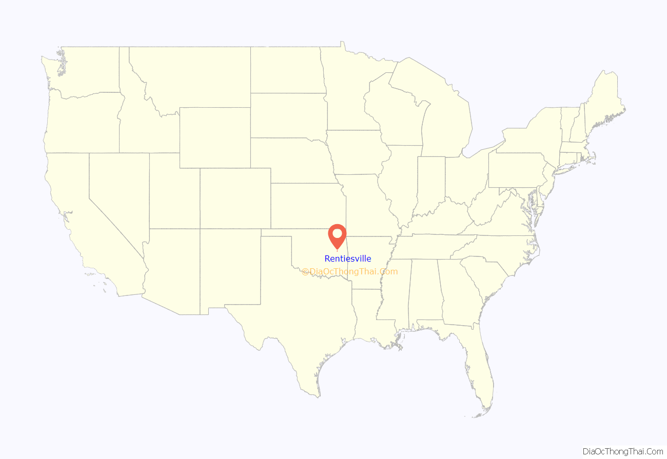
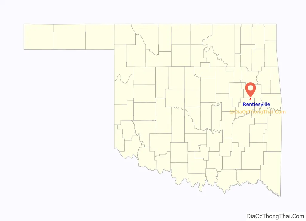
Rentiesville location map. Where is Rentiesville town?
History
The Civil War Battle of Honey Springs was fought about a half mile east of present-day Rentiesville and south of Oktaha, near the county line; the Honey Springs Battlefield is on the National Register of Historic Places listings in Muskogee County, Oklahoma. Honey Springs was Oklahoma’s largest Civil War engagement.
Rentiesville was founded as an all-black town in 1903 on land owned by William Rentie and Phoebe McIntosh. The post office opened May 11, 1904, and the town became a flag stop on the Missouri-Kansas-Texas Railroad. William Rentie was the town’s only lawman until 1908, when he was shot and killed by a man he had arrested for being drunk and disorderly.
In 1990, the population was 69.
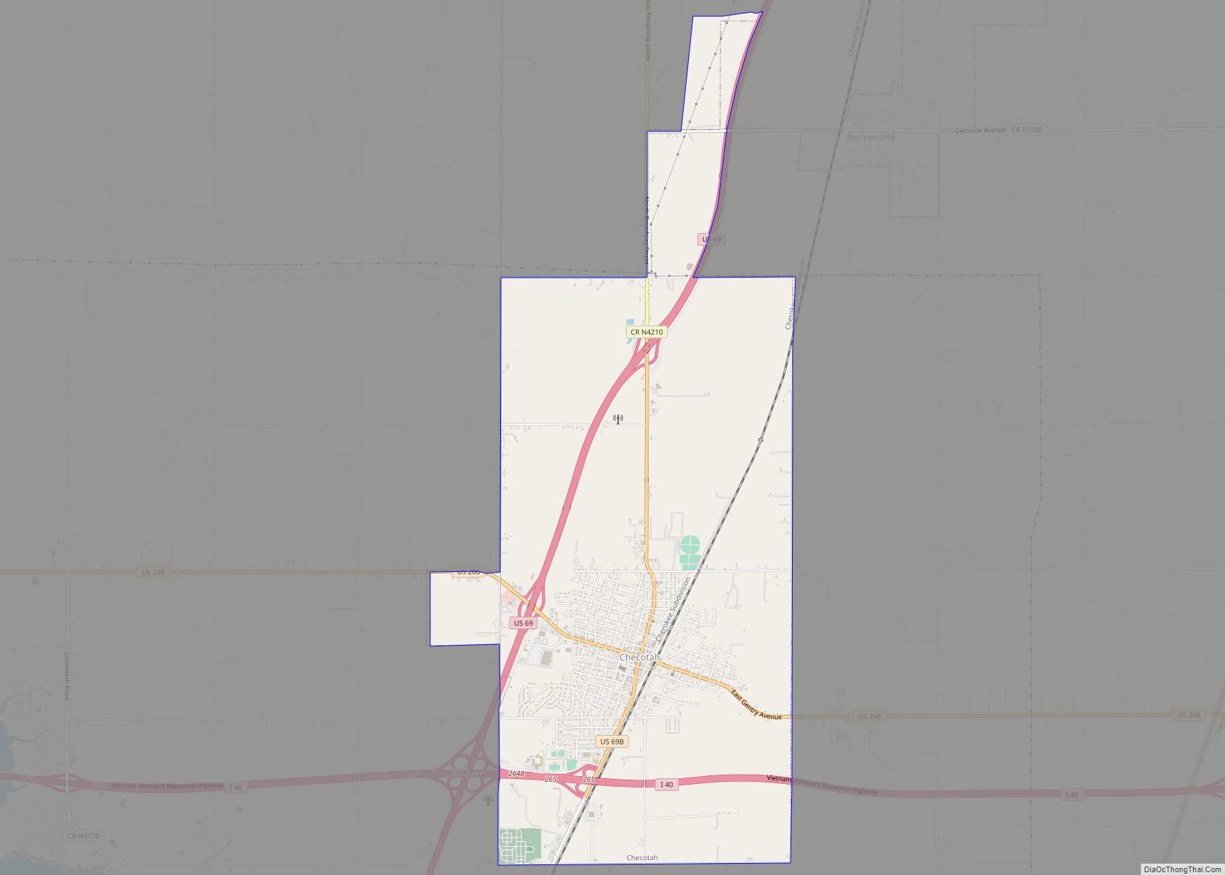
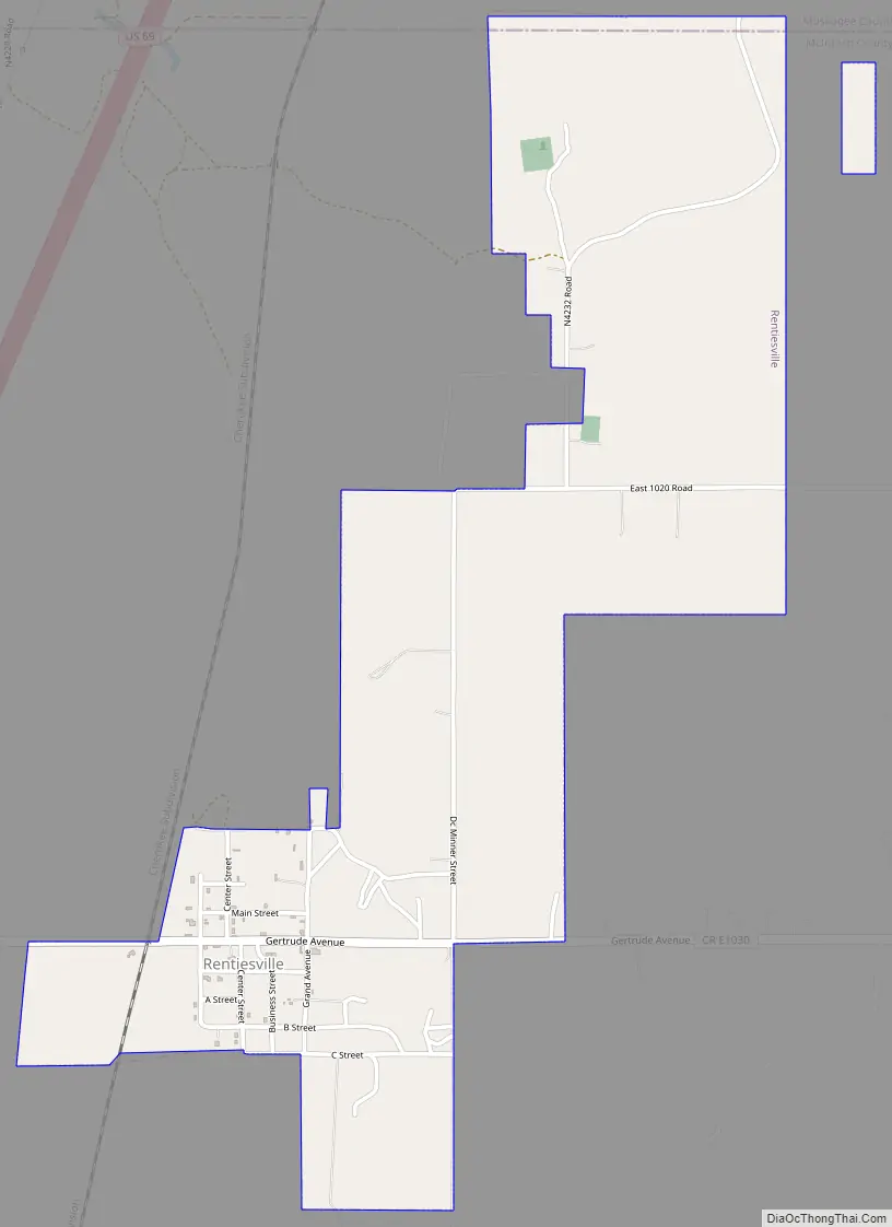
Rentiesville Road Map
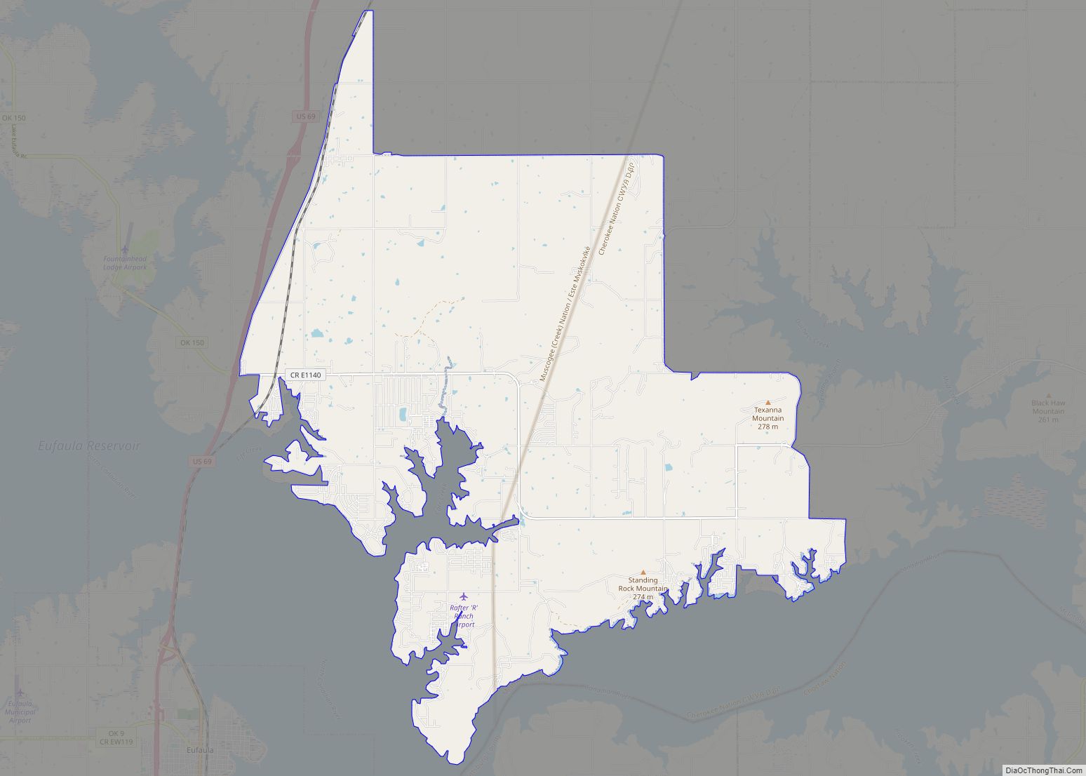
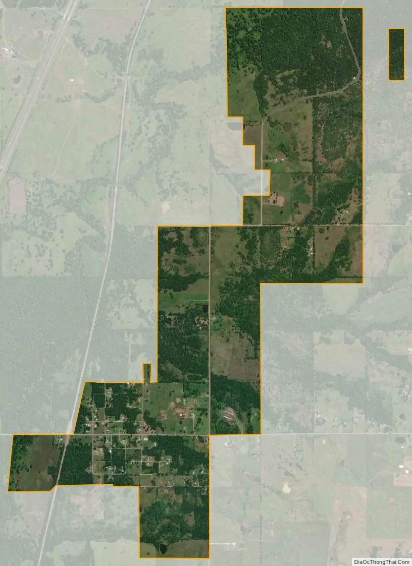
Rentiesville city Satellite Map
Geography
Rentiesville is located at 35°31′31″N 95°29′31″W / 35.52528°N 95.49194°W / 35.52528; -95.49194 (35.525301, -95.491950), five miles north-northeast of Checotah, a short distance east of U.S. Route 69.
The Honey Springs Battlefield is less than a mile north of town, off 11th Street.
According to the United States Census Bureau, the town has a total area of 1.7 square miles (4.4 km), all land.
See also
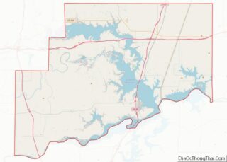
Map of Oklahoma State and its subdivision:- Adair
- Alfalfa
- Atoka
- Beaver
- Beckham
- Blaine
- Bryan
- Caddo
- Canadian
- Carter
- Cherokee
- Choctaw
- Cimarron
- Cleveland
- Coal
- Comanche
- Cotton
- Craig
- Creek
- Custer
- Delaware
- Dewey
- Ellis
- Garfield
- Garvin
- Grady
- Grant
- Greer
- Harmon
- Harper
- Haskell
- Hughes
- Jackson
- Jefferson
- Johnston
- Kay
- Kingfisher
- Kiowa
- Latimer
- Le Flore
- Lincoln
- Logan
- Love
- Major
- Marshall
- Mayes
- McClain
- McCurtain
- McIntosh
- Murray
- Muskogee
- Noble
- Nowata
- Okfuskee
- Oklahoma
- Okmulgee
- Osage
- Ottawa
- Pawnee
- Payne
- Pittsburg
- Pontotoc
- Pottawatomie
- Pushmataha
- Roger Mills
- Rogers
- Seminole
- Sequoyah
- Stephens
- Texas
- Tillman
- Tulsa
- Wagoner
- Washington
- Washita
- Woods
- Woodward
- Alabama
- Alaska
- Arizona
- Arkansas
- California
- Colorado
- Connecticut
- Delaware
- District of Columbia
- Florida
- Georgia
- Hawaii
- Idaho
- Illinois
- Indiana
- Iowa
- Kansas
- Kentucky
- Louisiana
- Maine
- Maryland
- Massachusetts
- Michigan
- Minnesota
- Mississippi
- Missouri
- Montana
- Nebraska
- Nevada
- New Hampshire
- New Jersey
- New Mexico
- New York
- North Carolina
- North Dakota
- Ohio
- Oklahoma
- Oregon
- Pennsylvania
- Rhode Island
- South Carolina
- South Dakota
- Tennessee
- Texas
- Utah
- Vermont
- Virginia
- Washington
- West Virginia
- Wisconsin
- Wyoming