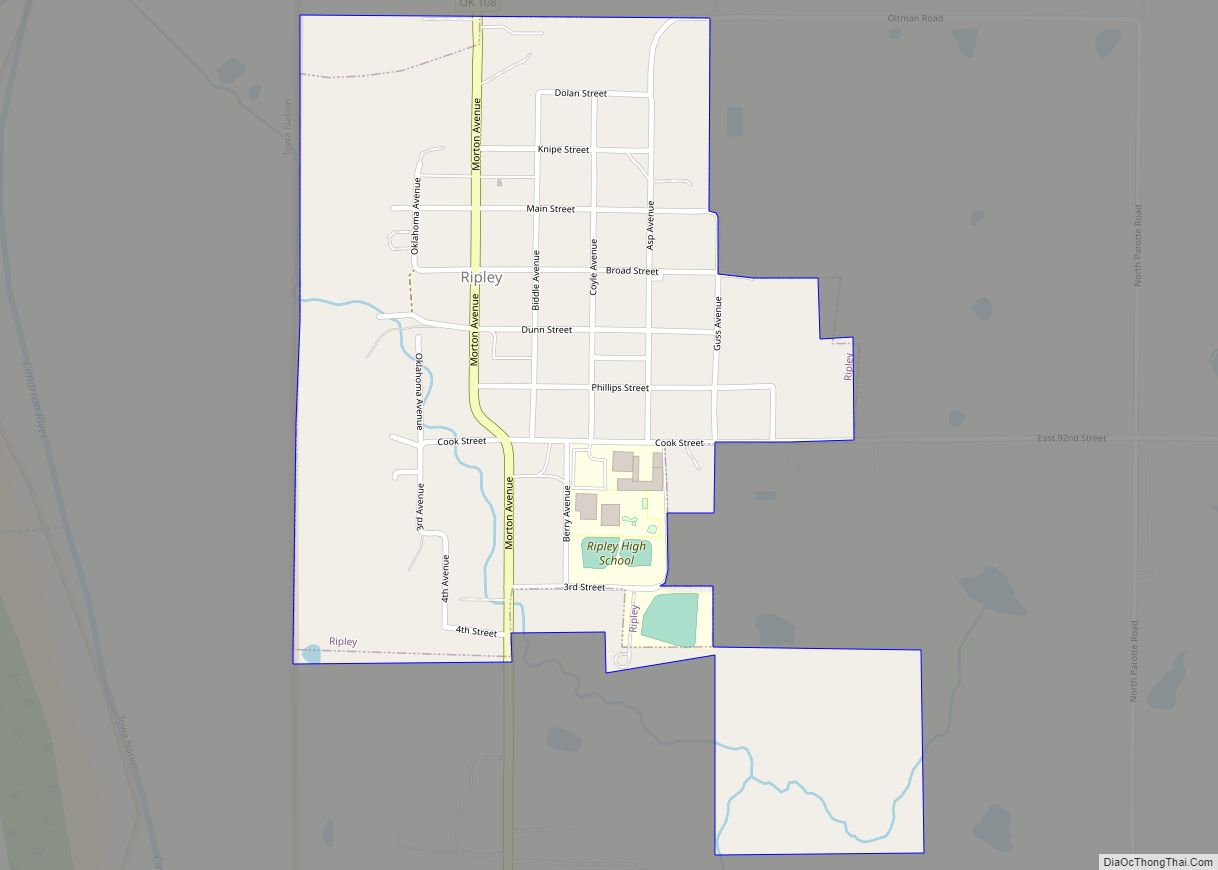
Ripley is a town in southeastern Payne County, Oklahoma, United States. The population was 423 at the 2010 census, a decline of 9.2 percent from the figure of 444 in 2000. The town was named after Edward Ripley, the 14th president of the Atchison, Topeka and Santa Fe Railway.
| Name: | Ripley town |
|---|---|
| LSAD Code: | 43 |
| LSAD Description: | town (suffix) |
| State: | Oklahoma |
| County: | Payne County |
| Elevation: | 846 ft (258 m) |
| Total Area: | 0.47 sq mi (1.23 km²) |
| Land Area: | 0.47 sq mi (1.23 km²) |
| Water Area: | 0.00 sq mi (0.00 km²) |
| Total Population: | 346 |
| Population Density: | 729.96/sq mi (282.01/km²) |
| ZIP code: | 74062 |
| Area code: | 539/918 |
| FIPS code: | 4063500 |
| GNISfeature ID: | 1097217 |
Online Interactive Map
Click on ![]() to view map in "full screen" mode.
to view map in "full screen" mode.
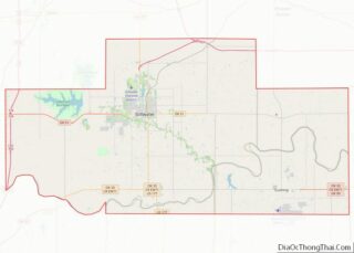
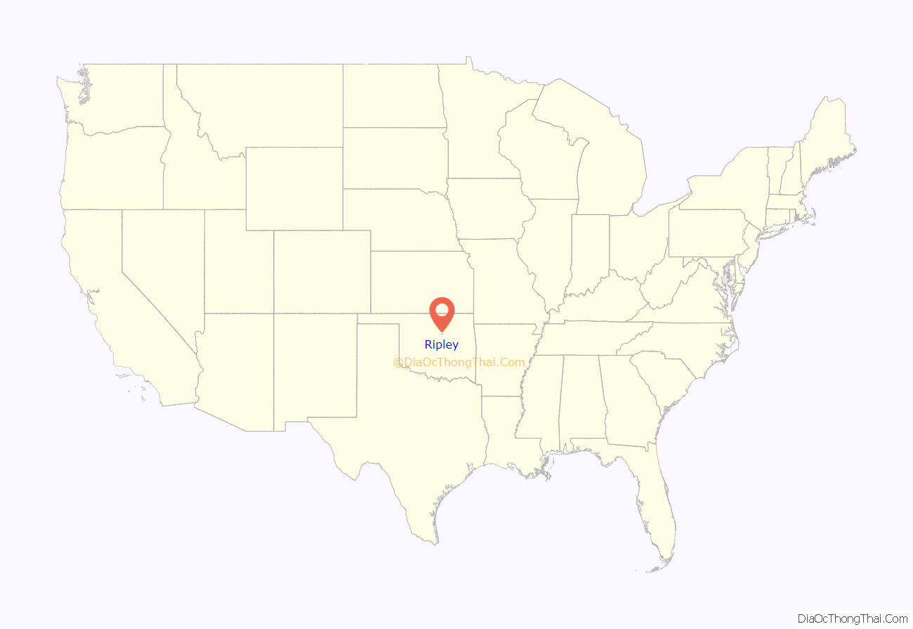
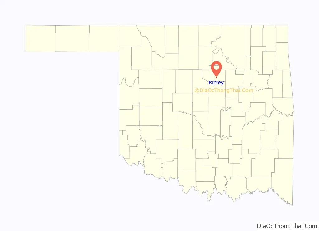
Ripley location map. Where is Ripley town?
History
The Atchison, Topeka and Santa Fe Railway (often called simply the Santa Fe) developed Ripley and auctioned the first lots on January 13, 1900. Three months later, the Ripley Times, reported that the community’s population had already reached 1,000 persons. The first wagon bridge across the Cimarron River was completed July 31, 1900, which was the excuse for a big party that lasted until the wee hours of the next morning.
Agriculture became the main source of income besides the railroad. A large farm named Morehead Plantation hired many African-American laborers to produce cotton. The cotton business declined sharply after World War I, but oil discoveries in the county offset the cotton decline for a while. However, oil markets declined in the late 1920s and the beginning of the Great Depression caused the town economy to decline. Ripley’s population declined from a peak of 487 in 1930 to 292 in 1950 and 263 in 1960. The population rebounded to 451 in 1980 and 376 in 1990. It peaked again in 2009 at 510; by 2016, it dropped to 403 people.
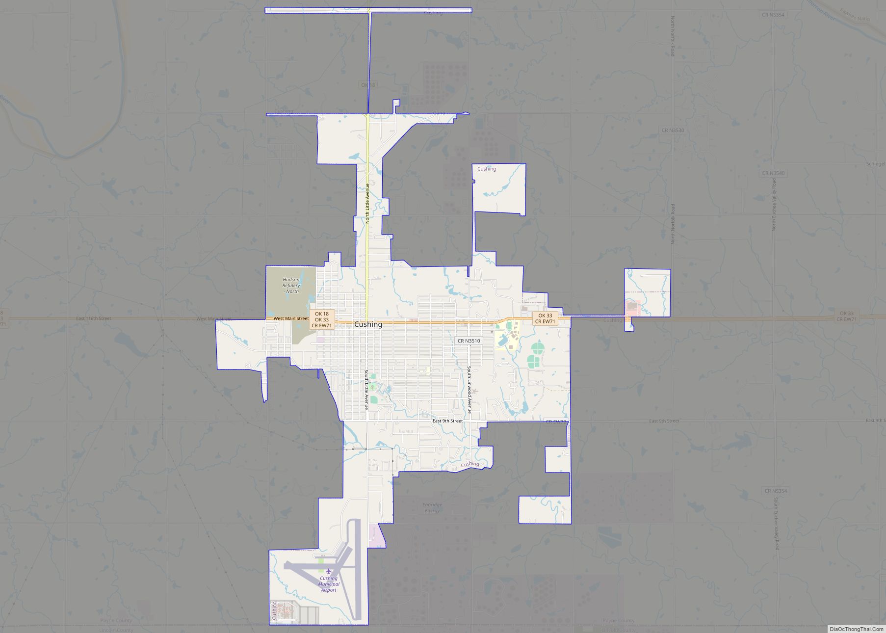
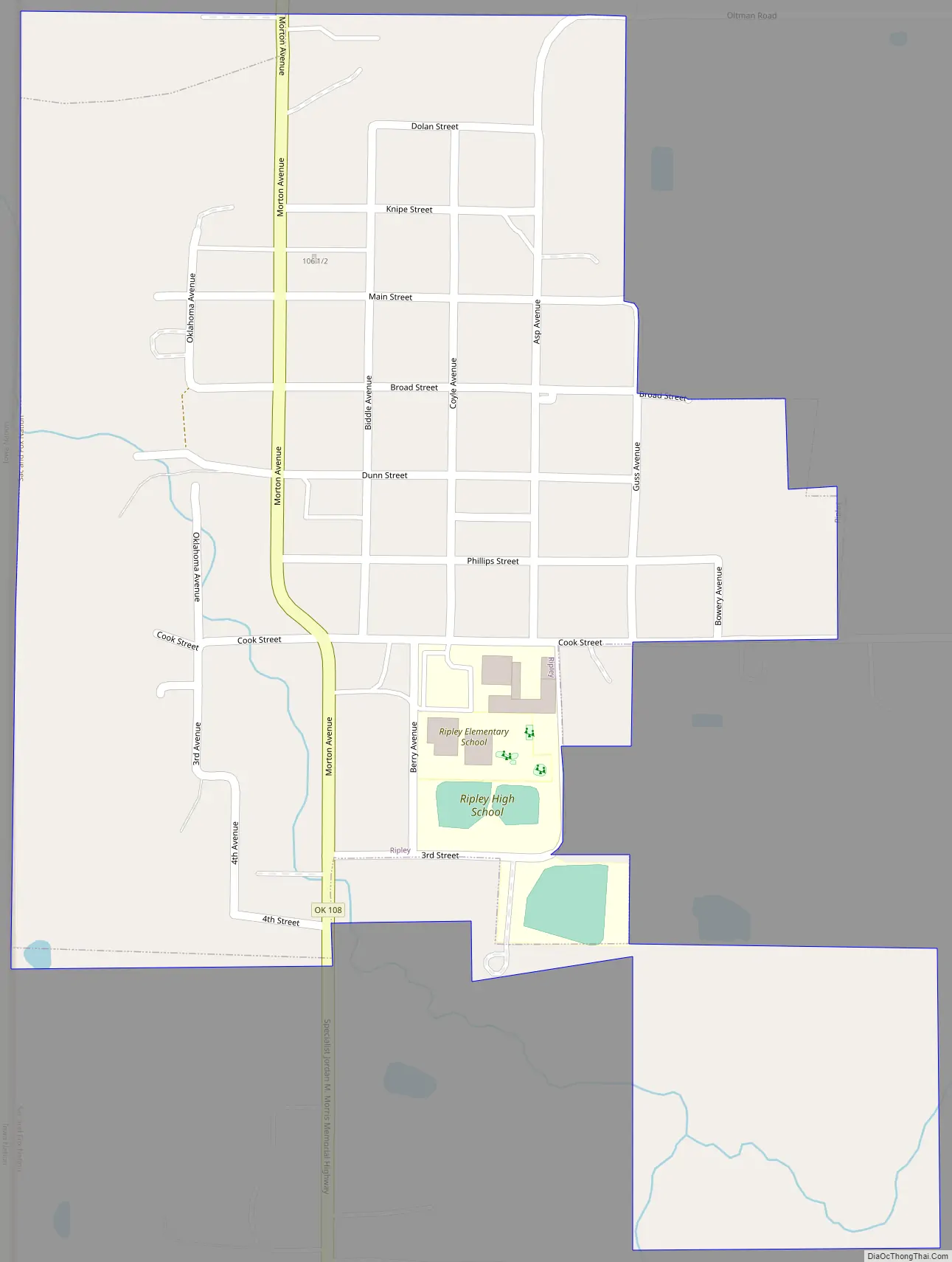
Ripley Road Map
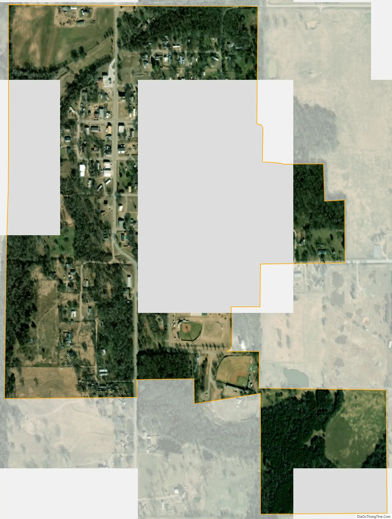
Ripley city Satellite Map
Geography
Ripley is located at 36°01′03″N 96°54′14″W / 36.017531°N 96.903876°W / 36.017531; -96.903876. According to the United States Census Bureau, the town has a total area of 0.4 square miles (1.0 km), all land. Ripley is on the Cimarron River; it is southeast of Stillwater (8 miles (13 km) east on State Highway 51 and 7 miles (11 km) south on State Highway 108), and west-northwest of Cushing. Cushing Lake, which offers a boat ramp, dock, and picnic area, is just to the southeast.
See also
Map of Oklahoma State and its subdivision:- Adair
- Alfalfa
- Atoka
- Beaver
- Beckham
- Blaine
- Bryan
- Caddo
- Canadian
- Carter
- Cherokee
- Choctaw
- Cimarron
- Cleveland
- Coal
- Comanche
- Cotton
- Craig
- Creek
- Custer
- Delaware
- Dewey
- Ellis
- Garfield
- Garvin
- Grady
- Grant
- Greer
- Harmon
- Harper
- Haskell
- Hughes
- Jackson
- Jefferson
- Johnston
- Kay
- Kingfisher
- Kiowa
- Latimer
- Le Flore
- Lincoln
- Logan
- Love
- Major
- Marshall
- Mayes
- McClain
- McCurtain
- McIntosh
- Murray
- Muskogee
- Noble
- Nowata
- Okfuskee
- Oklahoma
- Okmulgee
- Osage
- Ottawa
- Pawnee
- Payne
- Pittsburg
- Pontotoc
- Pottawatomie
- Pushmataha
- Roger Mills
- Rogers
- Seminole
- Sequoyah
- Stephens
- Texas
- Tillman
- Tulsa
- Wagoner
- Washington
- Washita
- Woods
- Woodward
- Alabama
- Alaska
- Arizona
- Arkansas
- California
- Colorado
- Connecticut
- Delaware
- District of Columbia
- Florida
- Georgia
- Hawaii
- Idaho
- Illinois
- Indiana
- Iowa
- Kansas
- Kentucky
- Louisiana
- Maine
- Maryland
- Massachusetts
- Michigan
- Minnesota
- Mississippi
- Missouri
- Montana
- Nebraska
- Nevada
- New Hampshire
- New Jersey
- New Mexico
- New York
- North Carolina
- North Dakota
- Ohio
- Oklahoma
- Oregon
- Pennsylvania
- Rhode Island
- South Carolina
- South Dakota
- Tennessee
- Texas
- Utah
- Vermont
- Virginia
- Washington
- West Virginia
- Wisconsin
- Wyoming