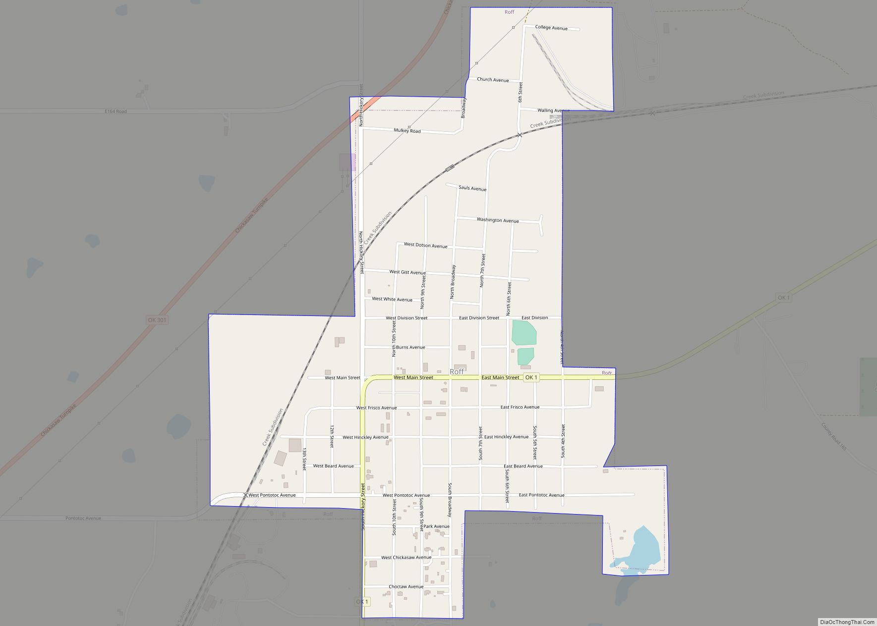
Roff is a town in Pontotoc County, Oklahoma, United States. The population was 725 at the 2010 census.
| Name: | Roff town |
|---|---|
| LSAD Code: | 43 |
| LSAD Description: | town (suffix) |
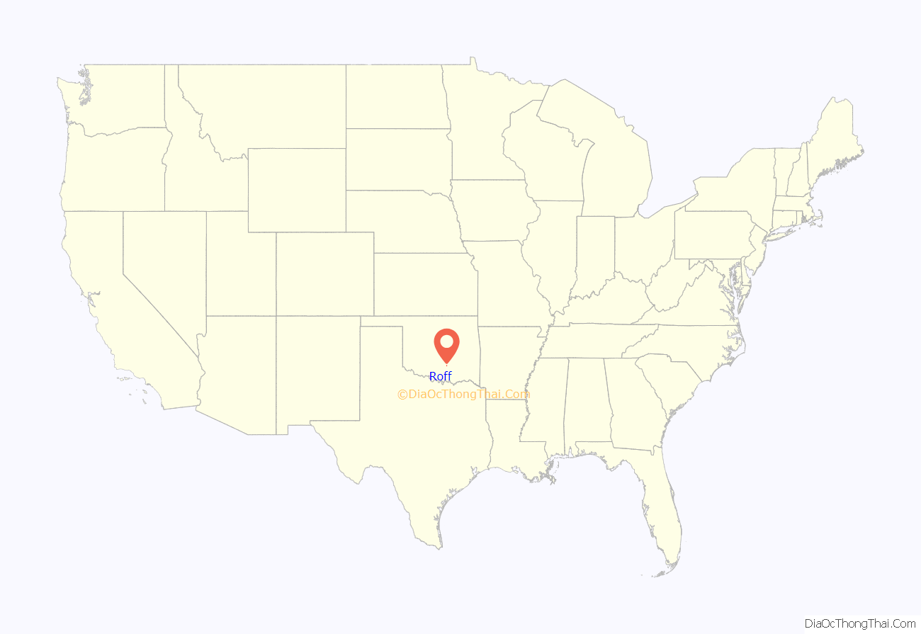
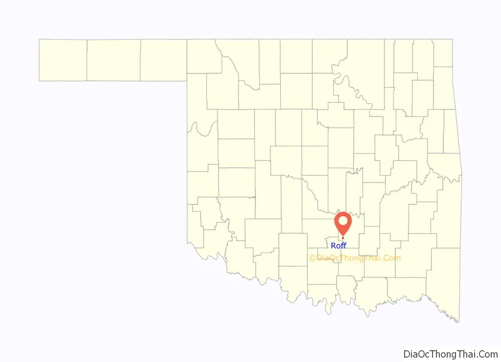
| State: | Oklahoma |
| County: | Pontotoc County |
| Elevation: | 1,257 ft (383 m) |
| Total Area: | 0.93 sq mi (2.40 km²) |
| Land Area: | 0.92 sq mi (2.39 km²) |
| Water Area: | 0.00 sq mi (0.01 km²) |
| Total Population: | 632 |
| Population Density: | 685.47/sq mi (264.56/km²) |
| ZIP code: | 74865 |
| Area code: | 580 |
| FIPS code: | 4063750 |
| GNISfeature ID: | 1097389 |
Online Interactive Map
Click on ![]() to view map in "full screen" mode.
to view map in "full screen" mode.
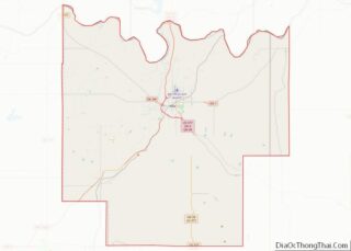
Roff location map. Where is Roff town?
History
An incorporated community in Pontotoc County, Roff is situated along State Highway 1, eighteen miles southwest of Ada and ninety-five miles southeast of Oklahoma City. The town was named for Joseph T. Roff, a rancher who moved from Texas to the Chickasaw Nation, Indian Territory, in 1871. Roff and his Choctaw wife and children settled near the present townsite in 1883. A community developed along the nearby Blue River soon after Roff began leasing his land to whites in 1885. A subscription school was established there in 1889 and a post office, designated Roff, opened in June 1890. Joseph Roff served as postmaster.
The St. Louis, Oklahoma and Southern Railway (purchased by the St. Louis and San Francisco Railway in 1901) was constructed just south of Roff in December 1900. As a result, the village was relocated along the line and surveyed the following spring. A townsite company was then organized and community lots were sold. Joseph Roff was the town’s first mayor.
Roff thrived as an agricultural community. Cotton gins, flour mills, and grain stores operated in town, and area farmers raised cotton, cattle, hogs, horses, and a variety of fruits. Other early businesses included a bottling works, a brick plant, and bakeries. The Mid-Continent Glass Sand Company was organized in 1912. Used in the manufacture of jars, tableware glasses, and containers, silicon dioxide (glass sand) remained a local export into the twenty-first century. The Roff Tribune, the Roff Enterprise, the Roff Eagle, and the Blue Valley Farmer were among the town’s newspapers.
Roff’s population was 1,079 at 1907 statehood. That number peaked at 1,138 in 1920. Roff’s decline began when crop prices fell during the 1920s and continued through the Great Depression and World War II. The First State Bank of Roff closed in 1934, leaving the community without a bank until the 1970s. Local rail passenger service ceased in 1960. The population dropped from 772 in 1930 to 632 in 1970, but rose to 729 in 1980.
Roff had 734 residents and fifteen commercial enterprises in 2000. Businesses included a restaurant, an automobile dealership, two gasoline stations with convenience stores, and a housing construction firm. In 2000 the Roff School District enrolled 330 students. The Roff National Guard Armory was listed in the National Register of Historic Places (NR 97001151).
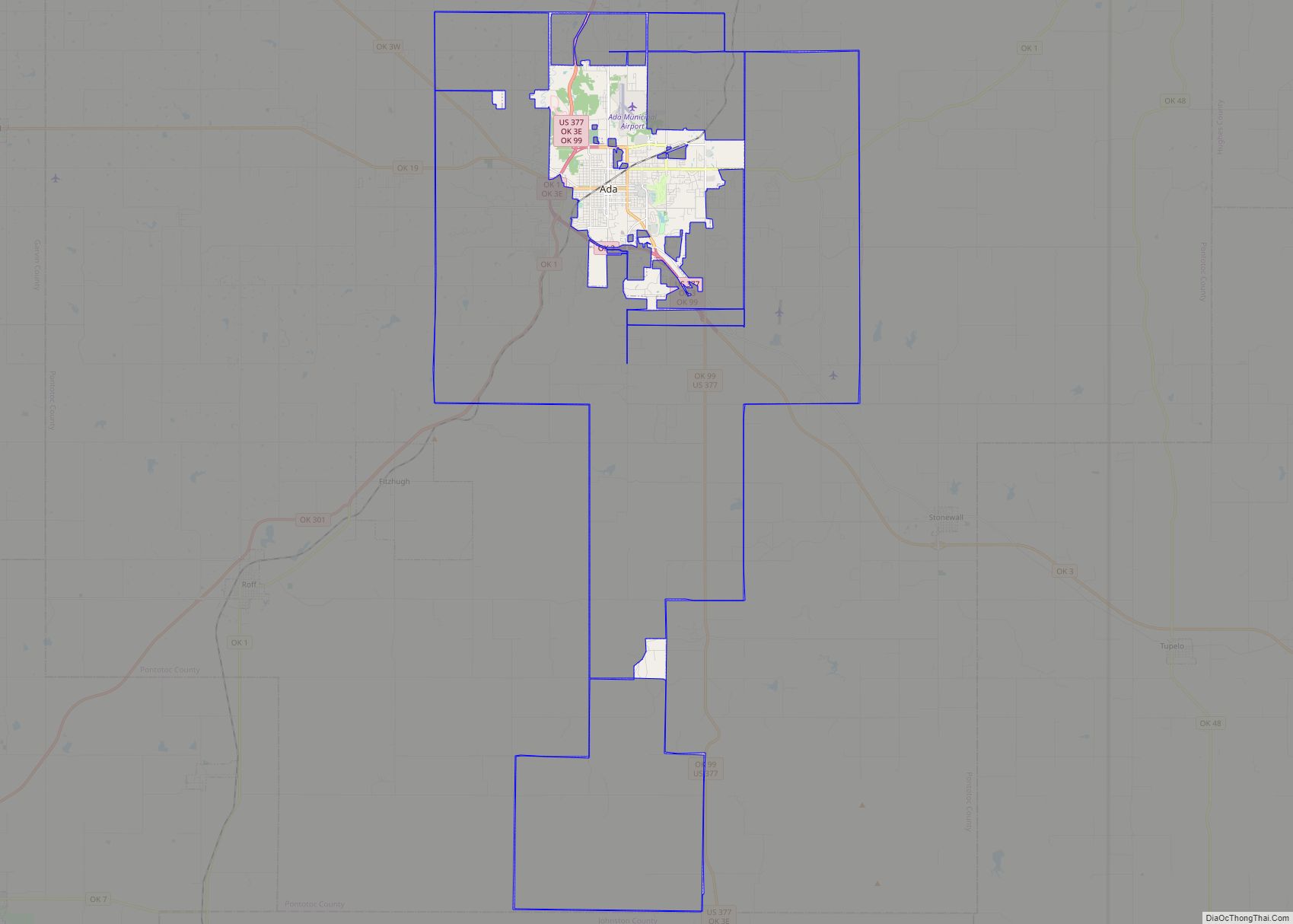
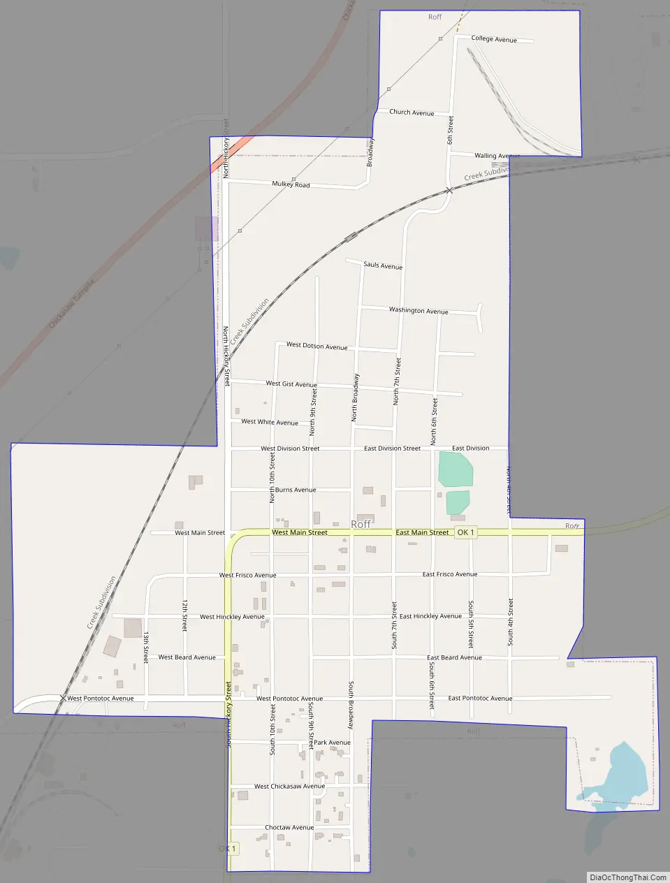
Roff Road Map
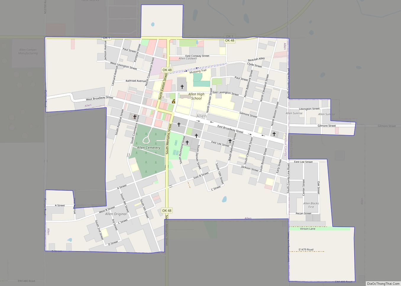
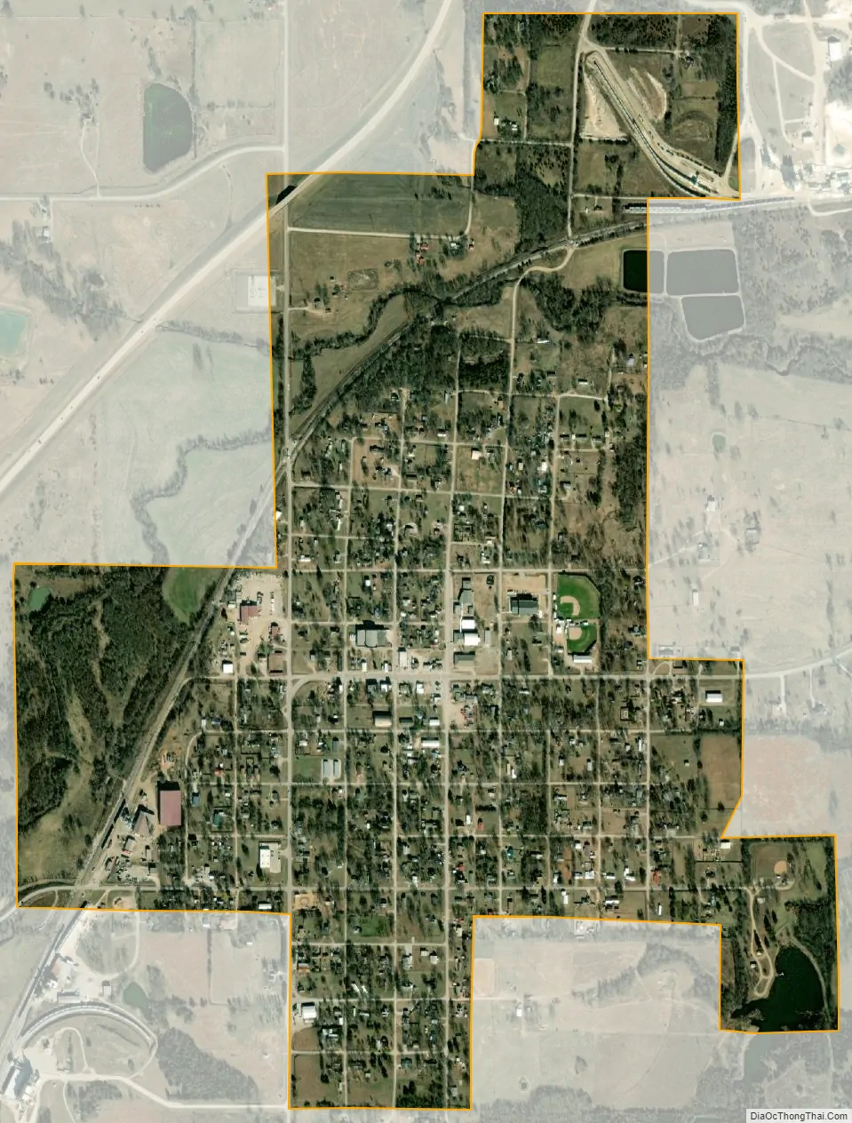
Roff city Satellite Map
Geography
Roff is located at 34°37′36″N 96°50′29″W / 34.62667°N 96.84139°W / 34.62667; -96.84139 (34.626746, -96.841478). According to the United States Census Bureau, the town has a total area of 0.9 square miles (2.3 km), of which 0.9 square miles (2.3 km) is land and 1.06% is water.
See also
Map of Oklahoma State and its subdivision:- Adair
- Alfalfa
- Atoka
- Beaver
- Beckham
- Blaine
- Bryan
- Caddo
- Canadian
- Carter
- Cherokee
- Choctaw
- Cimarron
- Cleveland
- Coal
- Comanche
- Cotton
- Craig
- Creek
- Custer
- Delaware
- Dewey
- Ellis
- Garfield
- Garvin
- Grady
- Grant
- Greer
- Harmon
- Harper
- Haskell
- Hughes
- Jackson
- Jefferson
- Johnston
- Kay
- Kingfisher
- Kiowa
- Latimer
- Le Flore
- Lincoln
- Logan
- Love
- Major
- Marshall
- Mayes
- McClain
- McCurtain
- McIntosh
- Murray
- Muskogee
- Noble
- Nowata
- Okfuskee
- Oklahoma
- Okmulgee
- Osage
- Ottawa
- Pawnee
- Payne
- Pittsburg
- Pontotoc
- Pottawatomie
- Pushmataha
- Roger Mills
- Rogers
- Seminole
- Sequoyah
- Stephens
- Texas
- Tillman
- Tulsa
- Wagoner
- Washington
- Washita
- Woods
- Woodward
- Alabama
- Alaska
- Arizona
- Arkansas
- California
- Colorado
- Connecticut
- Delaware
- District of Columbia
- Florida
- Georgia
- Hawaii
- Idaho
- Illinois
- Indiana
- Iowa
- Kansas
- Kentucky
- Louisiana
- Maine
- Maryland
- Massachusetts
- Michigan
- Minnesota
- Mississippi
- Missouri
- Montana
- Nebraska
- Nevada
- New Hampshire
- New Jersey
- New Mexico
- New York
- North Carolina
- North Dakota
- Ohio
- Oklahoma
- Oregon
- Pennsylvania
- Rhode Island
- South Carolina
- South Dakota
- Tennessee
- Texas
- Utah
- Vermont
- Virginia
- Washington
- West Virginia
- Wisconsin
- Wyoming