Stonewall is a town in Pontotoc County, Oklahoma, United States. Named for Confederate General Stonewall Jackson, the settlement’s post office was established in December, 1874.
| Name: | Stonewall town |
|---|---|
| LSAD Code: | 43 |
| LSAD Description: | town (suffix) |
| State: | Oklahoma |
| County: | Pontotoc County |
| Elevation: | 702 ft (214 m) |
| Total Area: | 0.47 sq mi (1.23 km²) |
| Land Area: | 0.47 sq mi (1.23 km²) |
| Water Area: | 0.00 sq mi (0.00 km²) |
| Total Population: | 414 |
| Population Density: | 871.58/sq mi (336.29/km²) |
| ZIP code: | 74871 |
| Area code: | 580 |
| FIPS code: | 4070500 |
| GNISfeature ID: | 1098561 |
Online Interactive Map
Click on ![]() to view map in "full screen" mode.
to view map in "full screen" mode.
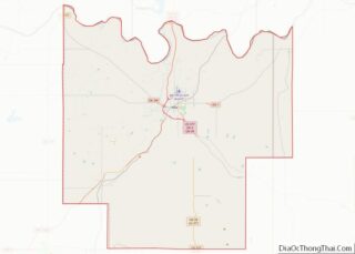
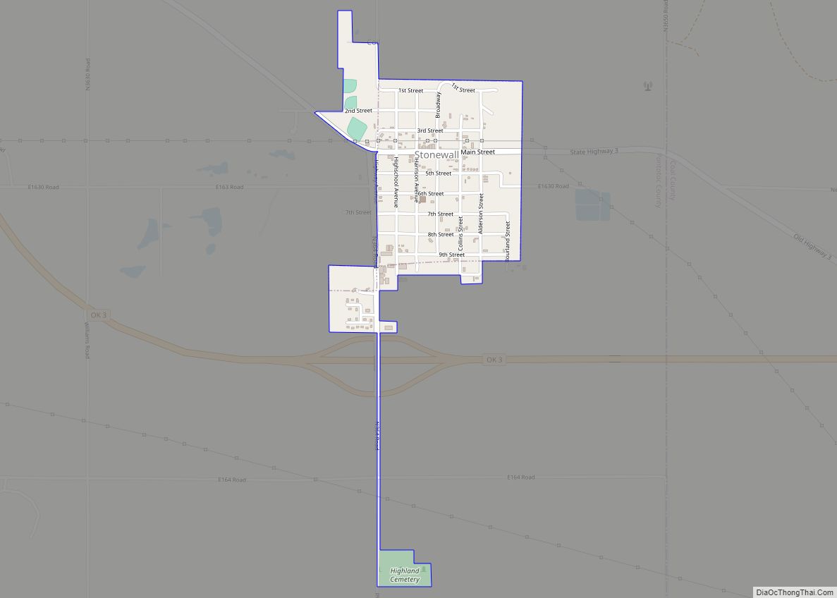
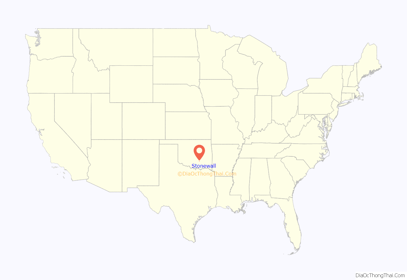
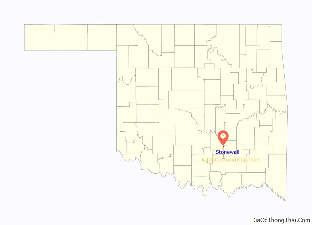
Stonewall location map. Where is Stonewall town?
History
Before Stonewall was a town, it was primarily the Chickasaw tribes land. Robert L. Cochran was a Georgia man who settled Stonewall first by opening up a trading post on the original site of Stonewall. The site was declared Pontotoc, which would become the county name in the present. Along with the settling of Cochran’s store a post office opened there in 1858. The settlement was then named Stonewall in honor of confederate war general Stonewall Jackson. By the late 1800s, Stonewall had increased in population and had multiple businesses open such as a cotton gin, good stores, a hotel, and stagecoach station.
In the early 1900s Stonewall was on the rise with the expansion of the railroad from Oklahoma City that passed through Ada. A debate was in place about whether they wanted to move the town closer to the railroad, but many didn’t want to leave due to Stonewall being a “historically significant as the seat of Pontotoc County in the Chickasaw Nation, Indian Territory”. Eventually some moved and the original site would be renamed to Frisco. The new Stonewall site was now official and with the recent move of businesses and post office, the population was thriving.
In 1930, Stonewall was unaffected by the Great Depression due to oil booms within the town. However, with the oil boom brought environmental destruction. The local creek was flooded with waste and polluted, causing locals to take action by digging wells. In 1932 Charles “Pretty Boy” Floyd and his accomplice George Birdwell robbed the Stonewall Bank. They escaped with $600 and had assaulted two bank officers. While on the run Floyd and Birdwell kidnapped a man on a motorcycle as they fled away from the town.
Today Stonewall is a smaller town after the reroute of Highway 3 away from the town, causing business to slow down and steady. There are a few businesses within in the town; however, many people are employed in Ada.
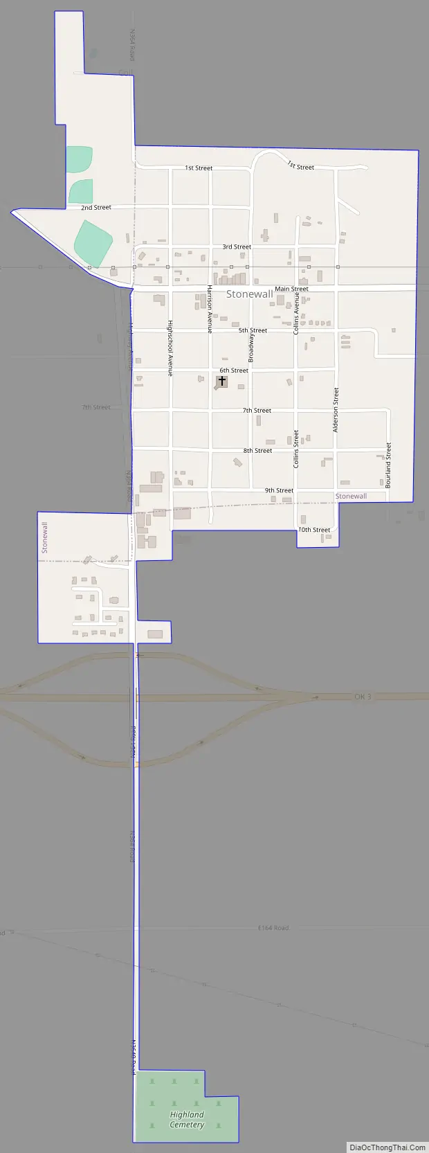
Stonewall Road Map
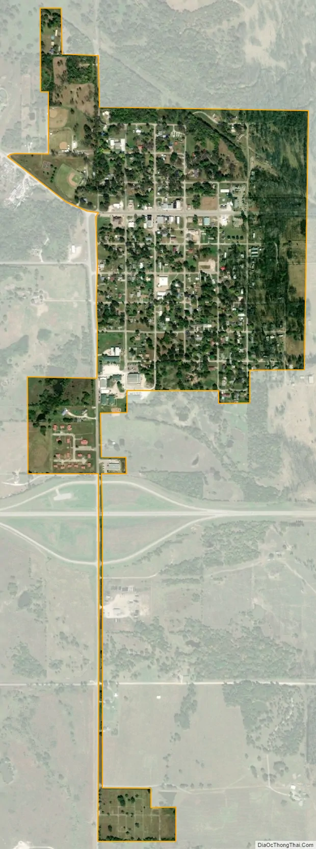
Stonewall city Satellite Map
Geography
Stonewall is located at 34°39′4″N 96°31′36″W / 34.65111°N 96.52667°W / 34.65111; -96.52667 (34.651099, -96.526655). According to the United States Census Bureau, the town has a total area of 0.3 square miles (0.78 km), all land.
See also
Map of Oklahoma State and its subdivision:- Adair
- Alfalfa
- Atoka
- Beaver
- Beckham
- Blaine
- Bryan
- Caddo
- Canadian
- Carter
- Cherokee
- Choctaw
- Cimarron
- Cleveland
- Coal
- Comanche
- Cotton
- Craig
- Creek
- Custer
- Delaware
- Dewey
- Ellis
- Garfield
- Garvin
- Grady
- Grant
- Greer
- Harmon
- Harper
- Haskell
- Hughes
- Jackson
- Jefferson
- Johnston
- Kay
- Kingfisher
- Kiowa
- Latimer
- Le Flore
- Lincoln
- Logan
- Love
- Major
- Marshall
- Mayes
- McClain
- McCurtain
- McIntosh
- Murray
- Muskogee
- Noble
- Nowata
- Okfuskee
- Oklahoma
- Okmulgee
- Osage
- Ottawa
- Pawnee
- Payne
- Pittsburg
- Pontotoc
- Pottawatomie
- Pushmataha
- Roger Mills
- Rogers
- Seminole
- Sequoyah
- Stephens
- Texas
- Tillman
- Tulsa
- Wagoner
- Washington
- Washita
- Woods
- Woodward
- Alabama
- Alaska
- Arizona
- Arkansas
- California
- Colorado
- Connecticut
- Delaware
- District of Columbia
- Florida
- Georgia
- Hawaii
- Idaho
- Illinois
- Indiana
- Iowa
- Kansas
- Kentucky
- Louisiana
- Maine
- Maryland
- Massachusetts
- Michigan
- Minnesota
- Mississippi
- Missouri
- Montana
- Nebraska
- Nevada
- New Hampshire
- New Jersey
- New Mexico
- New York
- North Carolina
- North Dakota
- Ohio
- Oklahoma
- Oregon
- Pennsylvania
- Rhode Island
- South Carolina
- South Dakota
- Tennessee
- Texas
- Utah
- Vermont
- Virginia
- Washington
- West Virginia
- Wisconsin
- Wyoming