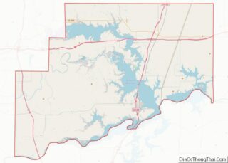
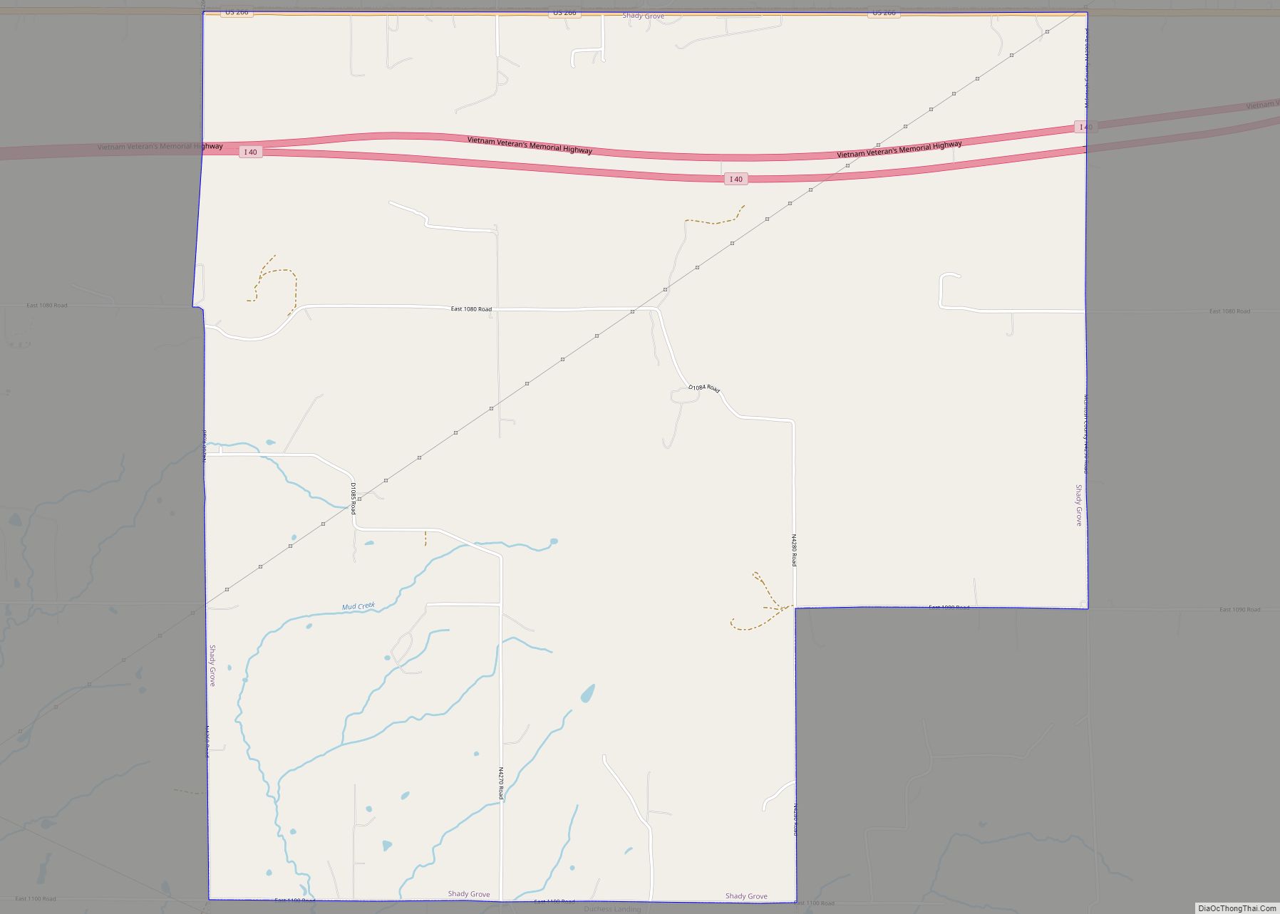
Shady Grove is a census-designated place (CDP) in McIntosh County, Oklahoma, United States. The population was 199 at the 2010 census, a decrease of 14.4 percent from 229 in 2000. This is not to be confused with the similarly-named Shady Grove in Cherokee County, or the Shady Grove in Pawnee County.
| Name: | Shady Grove CDP |
|---|---|
| LSAD Code: | 57 |
| LSAD Description: | CDP (suffix) |
| State: | Oklahoma |
| County: | McIntosh County |
| Total Area: | 8.0 sq mi (21 km²) |
| Land Area: | 8.0 sq mi (21 km²) |
| Total Population: | 199 |
| Population Density: | 25/sq mi (9.6/km²) |
| FIPS code: | 4066520 |
Online Interactive Map
Click on ![]() to view map in "full screen" mode.
to view map in "full screen" mode.
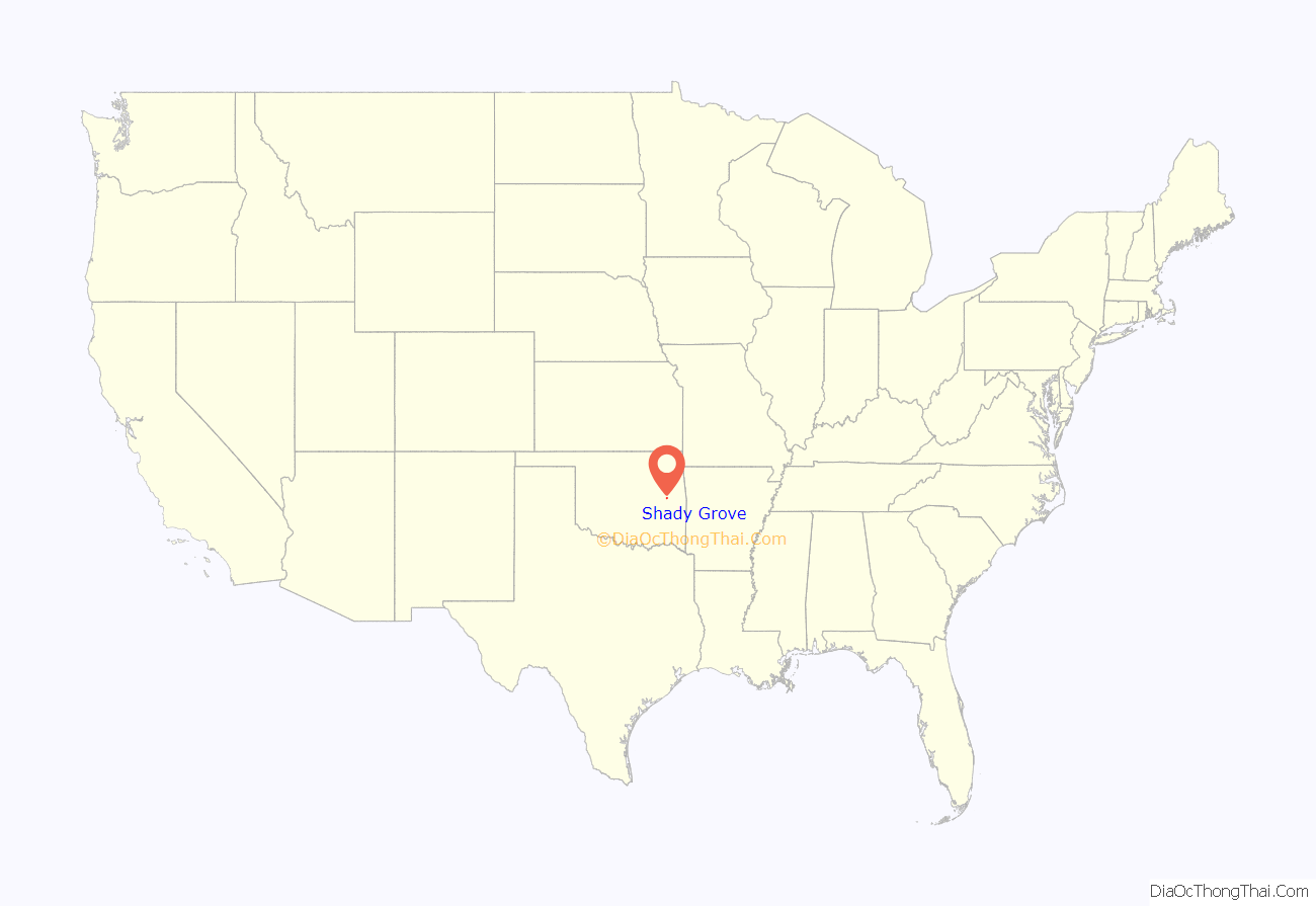
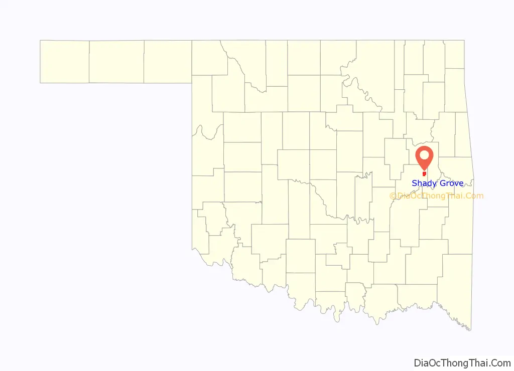
Shady Grove location map. Where is Shady Grove CDP?
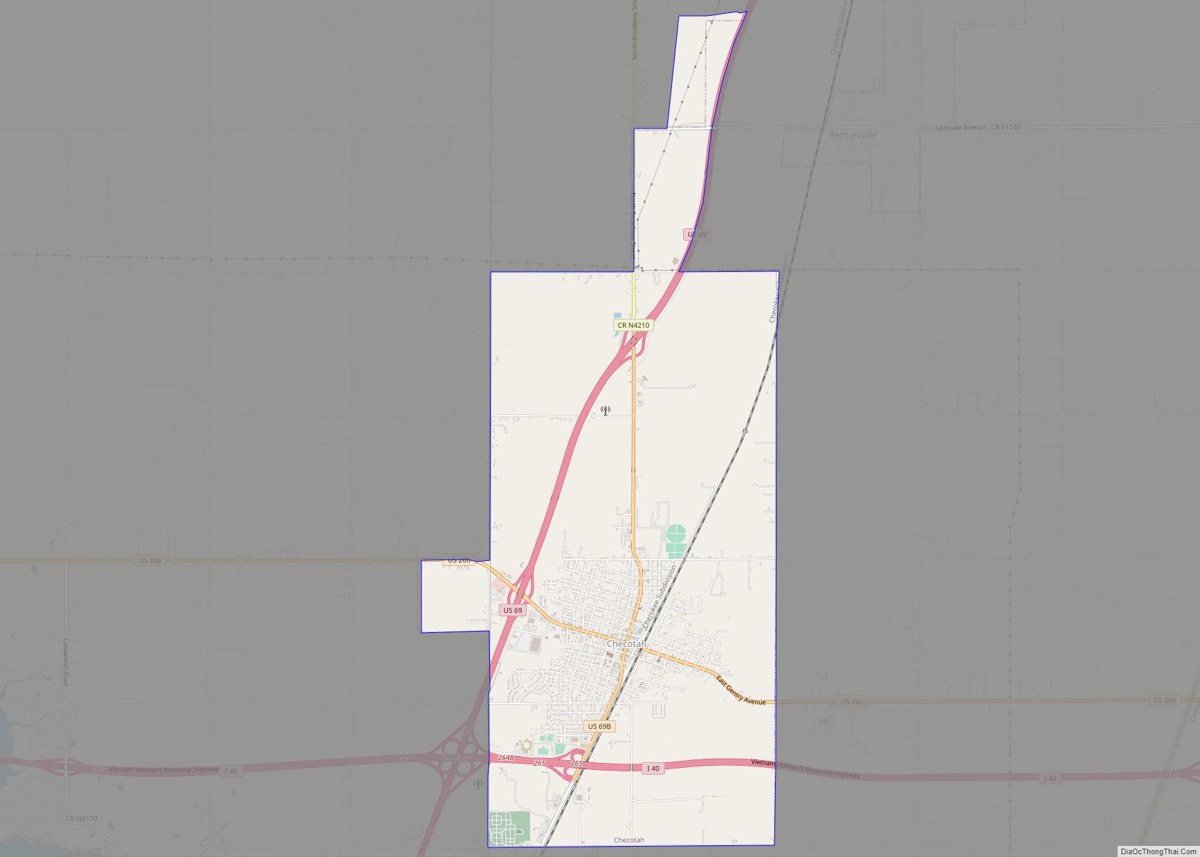
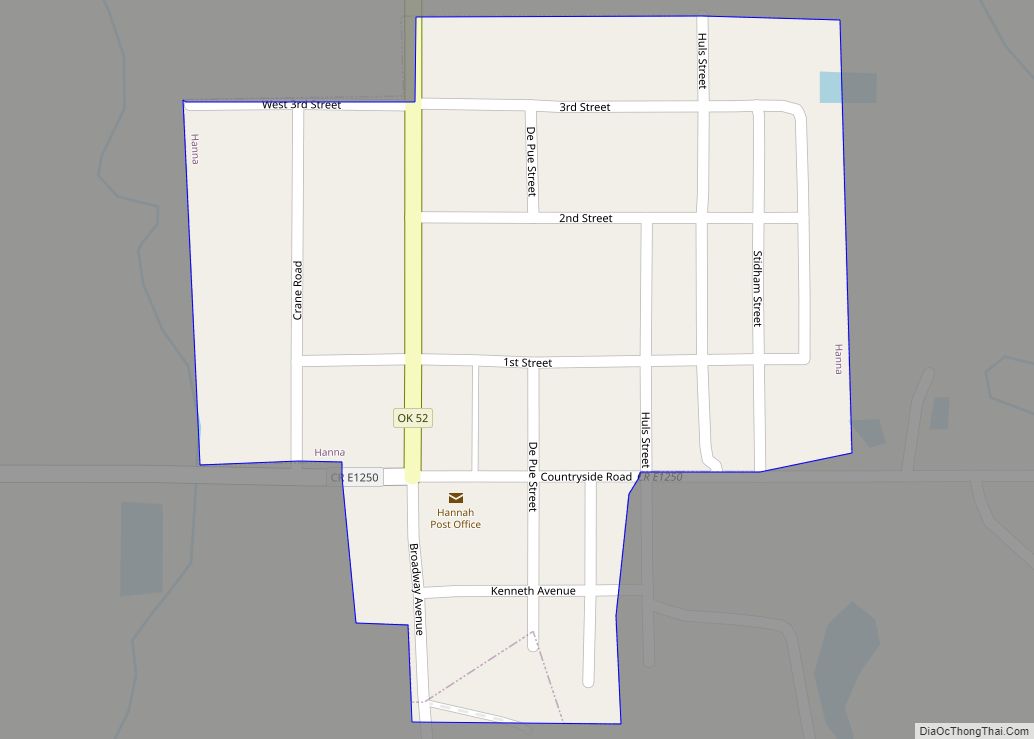
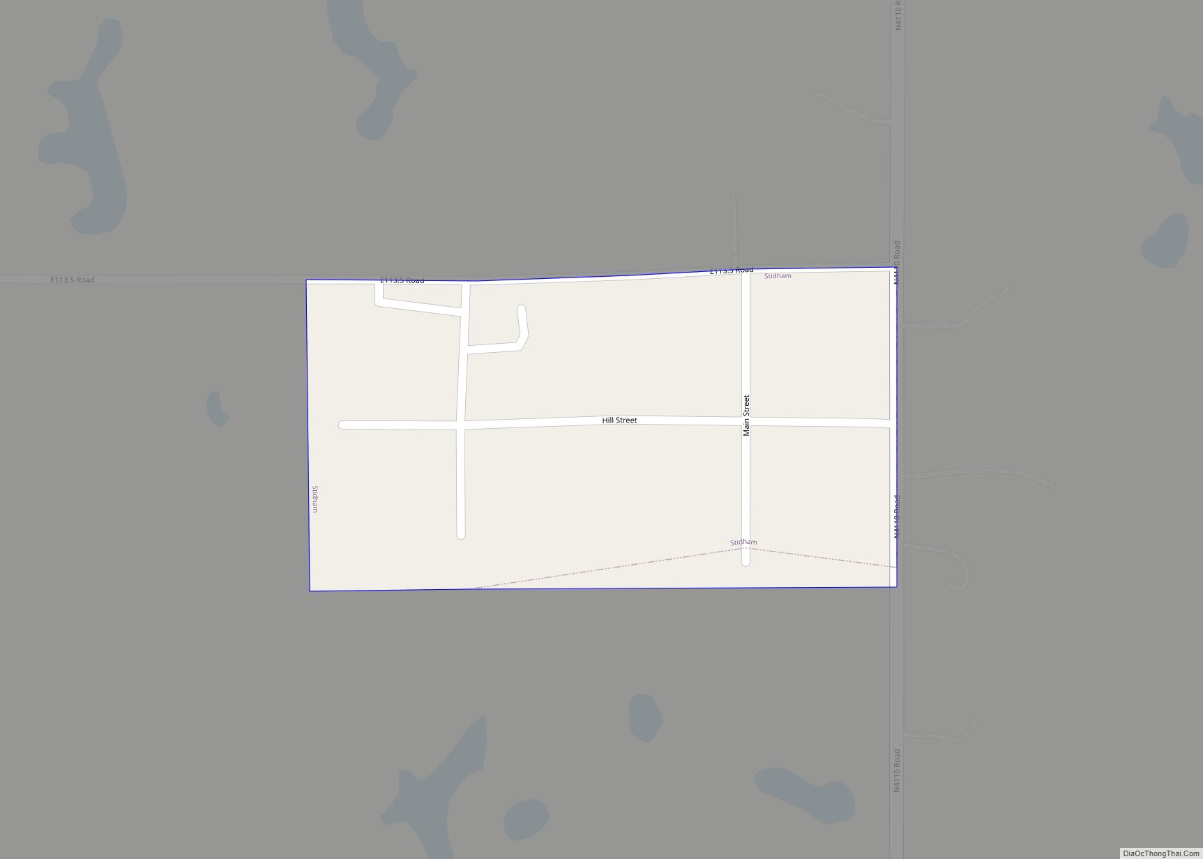
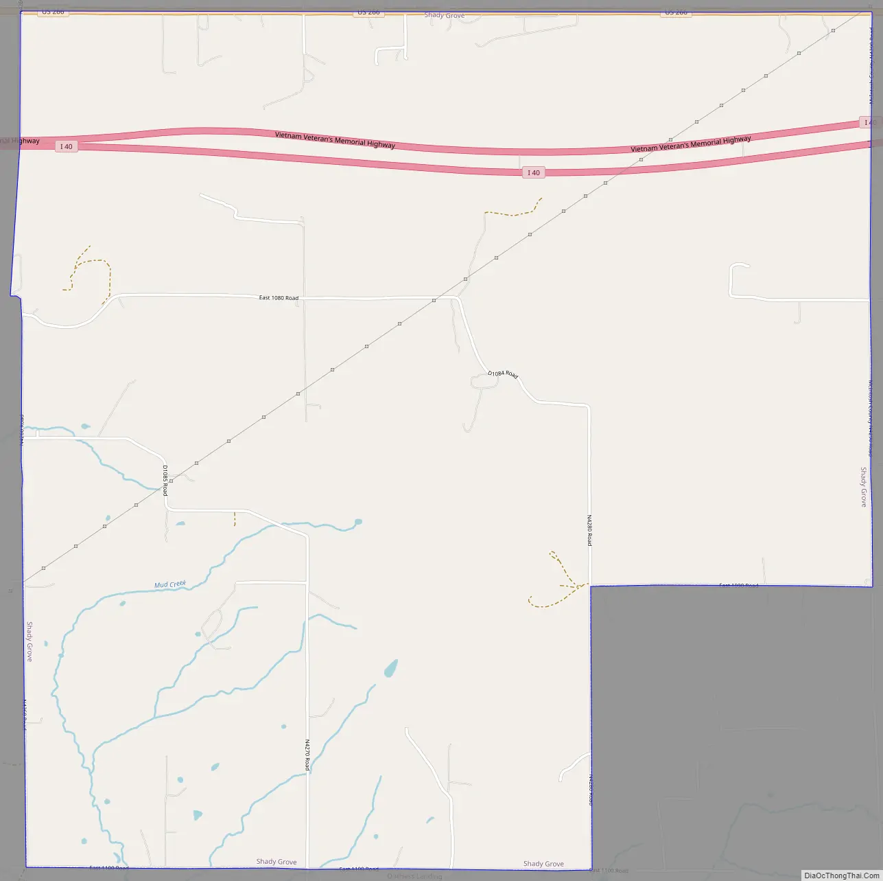
Shady Grove Road Map
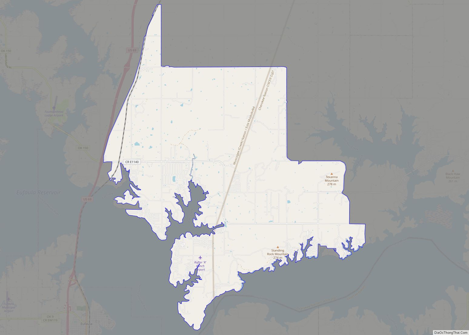
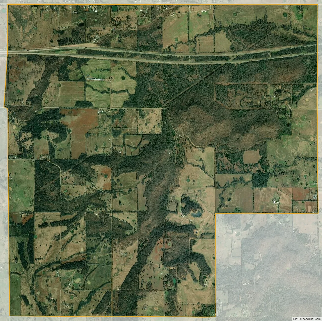
Shady Grove city Satellite Map
Geography
Shady Grove is located at 35°26′24″N 95°24′41″W / 35.44000°N 95.41139°W / 35.44000; -95.41139 (35.440054, -95.411409).
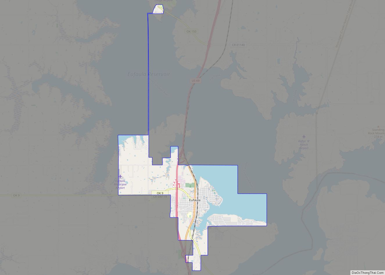
The town is on Interstate 40 as well as U.S. Route 266, east of Checotah.
Lake Eufaula, Oklahoma’s largest lake, is to the south and west, while Lake Eufaula State Park is about 20 miles west-southwest.
According to the United States Census Bureau, the CDP has a total area of 8.0 square miles (21 km), of which 8.0 square miles (21 km) is land and 0.12% is water.
See also
Map of Oklahoma State and its subdivision:- Adair
- Alfalfa
- Atoka
- Beaver
- Beckham
- Blaine
- Bryan
- Caddo
- Canadian
- Carter
- Cherokee
- Choctaw
- Cimarron
- Cleveland
- Coal
- Comanche
- Cotton
- Craig
- Creek
- Custer
- Delaware
- Dewey
- Ellis
- Garfield
- Garvin
- Grady
- Grant
- Greer
- Harmon
- Harper
- Haskell
- Hughes
- Jackson
- Jefferson
- Johnston
- Kay
- Kingfisher
- Kiowa
- Latimer
- Le Flore
- Lincoln
- Logan
- Love
- Major
- Marshall
- Mayes
- McClain
- McCurtain
- McIntosh
- Murray
- Muskogee
- Noble
- Nowata
- Okfuskee
- Oklahoma
- Okmulgee
- Osage
- Ottawa
- Pawnee
- Payne
- Pittsburg
- Pontotoc
- Pottawatomie
- Pushmataha
- Roger Mills
- Rogers
- Seminole
- Sequoyah
- Stephens
- Texas
- Tillman
- Tulsa
- Wagoner
- Washington
- Washita
- Woods
- Woodward
- Alabama
- Alaska
- Arizona
- Arkansas
- California
- Colorado
- Connecticut
- Delaware
- District of Columbia
- Florida
- Georgia
- Hawaii
- Idaho
- Illinois
- Indiana
- Iowa
- Kansas
- Kentucky
- Louisiana
- Maine
- Maryland
- Massachusetts
- Michigan
- Minnesota
- Mississippi
- Missouri
- Montana
- Nebraska
- Nevada
- New Hampshire
- New Jersey
- New Mexico
- New York
- North Carolina
- North Dakota
- Ohio
- Oklahoma
- Oregon
- Pennsylvania
- Rhode Island
- South Carolina
- South Dakota
- Tennessee
- Texas
- Utah
- Vermont
- Virginia
- Washington
- West Virginia
- Wisconsin
- Wyoming