Shidler is a city in Osage County, Oklahoma, United States. The population was 328 in the 2020 census, a decline from the figure of 441 recorded in 2010.
| Name: | Shidler city |
|---|---|
| LSAD Code: | 25 |
| LSAD Description: | city (suffix) |
| State: | Oklahoma |
| County: | Osage County |
| Elevation: | 1,168 ft (356 m) |
| Total Area: | 0.75 sq mi (1.93 km²) |
| Land Area: | 0.75 sq mi (1.93 km²) |
| Water Area: | 0.00 sq mi (0.00 km²) |
| Total Population: | 328 |
| Population Density: | 439.68/sq mi (169.71/km²) |
| ZIP code: | 74652 |
| Area code: | 539/918 |
| FIPS code: | 4067200 |
| GNISfeature ID: | 1097990 |
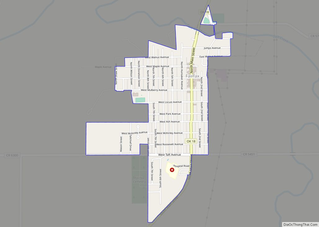
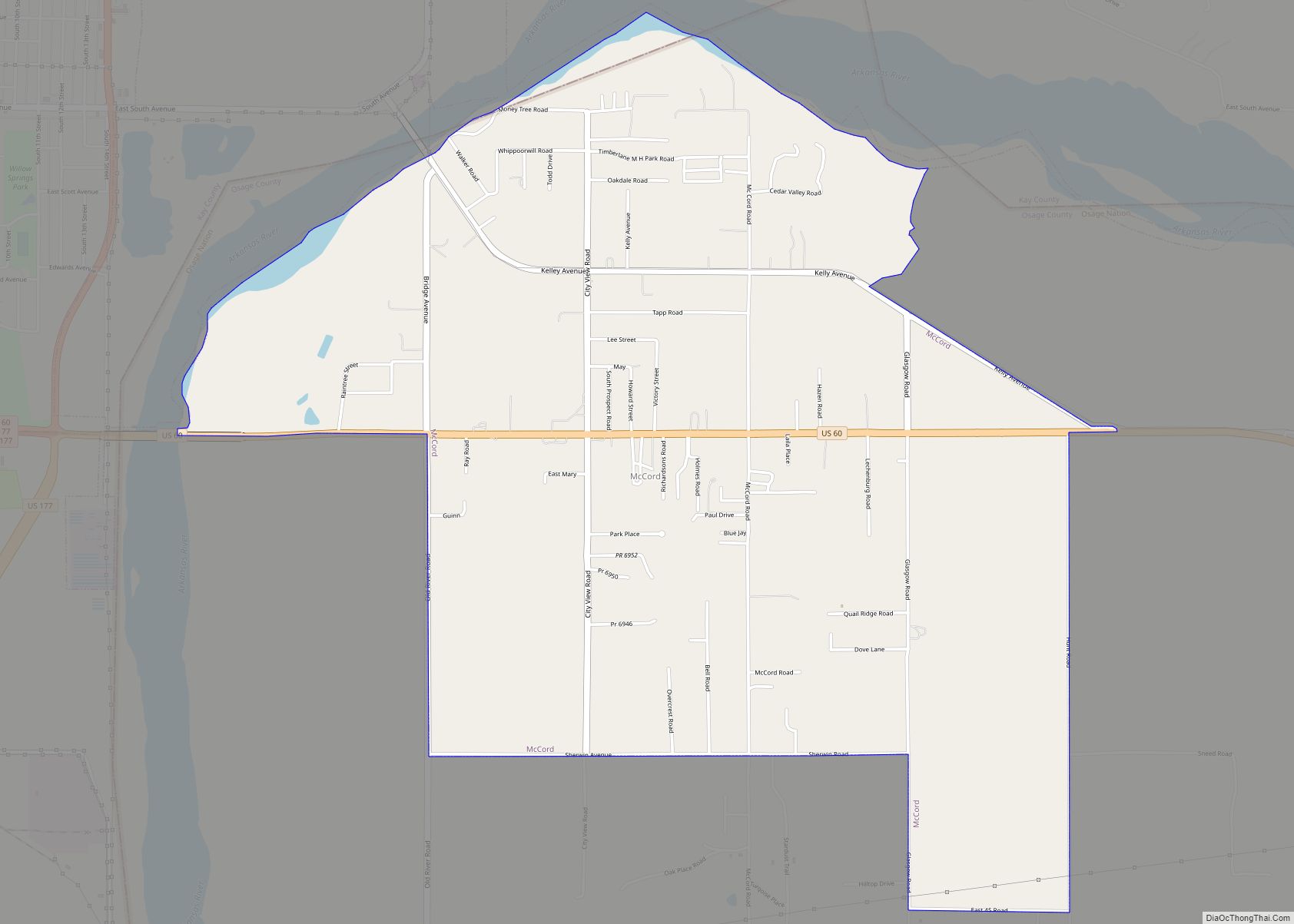
Online Interactive Map
Click on ![]() to view map in "full screen" mode.
to view map in "full screen" mode.
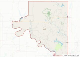
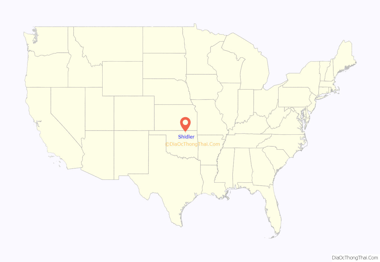
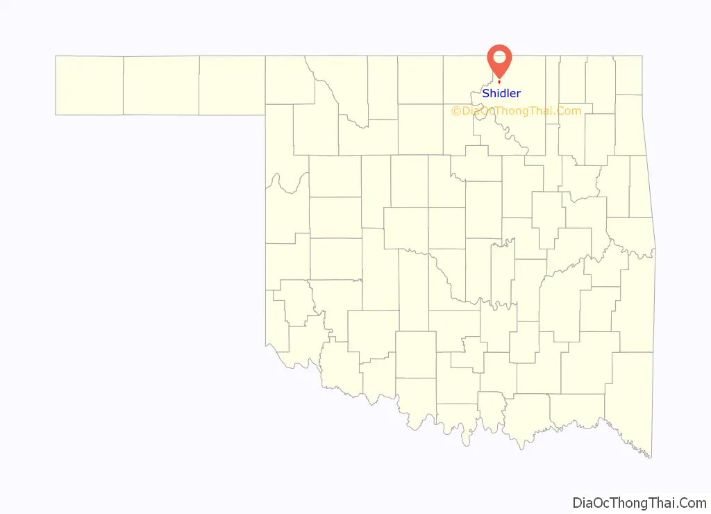
Shidler location map. Where is Shidler city?
History
Shidler was founded in December 1921 and named for Eugene S. Shidler, a Pawhuska banker and rancher. The town grew rapidly to a population of approximately 5,000 due to the discovery of petroleum nearby (see Whizbang) and the arrival of the Osage Railway (one of the Muskogee Roads) in February 1922. In that year, Shidler had 19 oil-well supply businesses and six plants manufacturing gasoline. Shidler had a reputation for lawlessness, with bank and highway robberies common. By the late 1920s, the oil boom had subsided and Shidler began to lose population. Shidler’s population in the 1930 census was 1,177 and the downward trend continued. Shidler today is a quiet farming and ranching community, although there is still some petroleum production in the area.
During World War II, citizens of Shidler actively lobbied to prevent the internment of the Yamamoto family from Shidler (see Internment of Japanese Americans). Due to the efforts of U.S. Senator Elmer Thomas, the internment order was lifted.
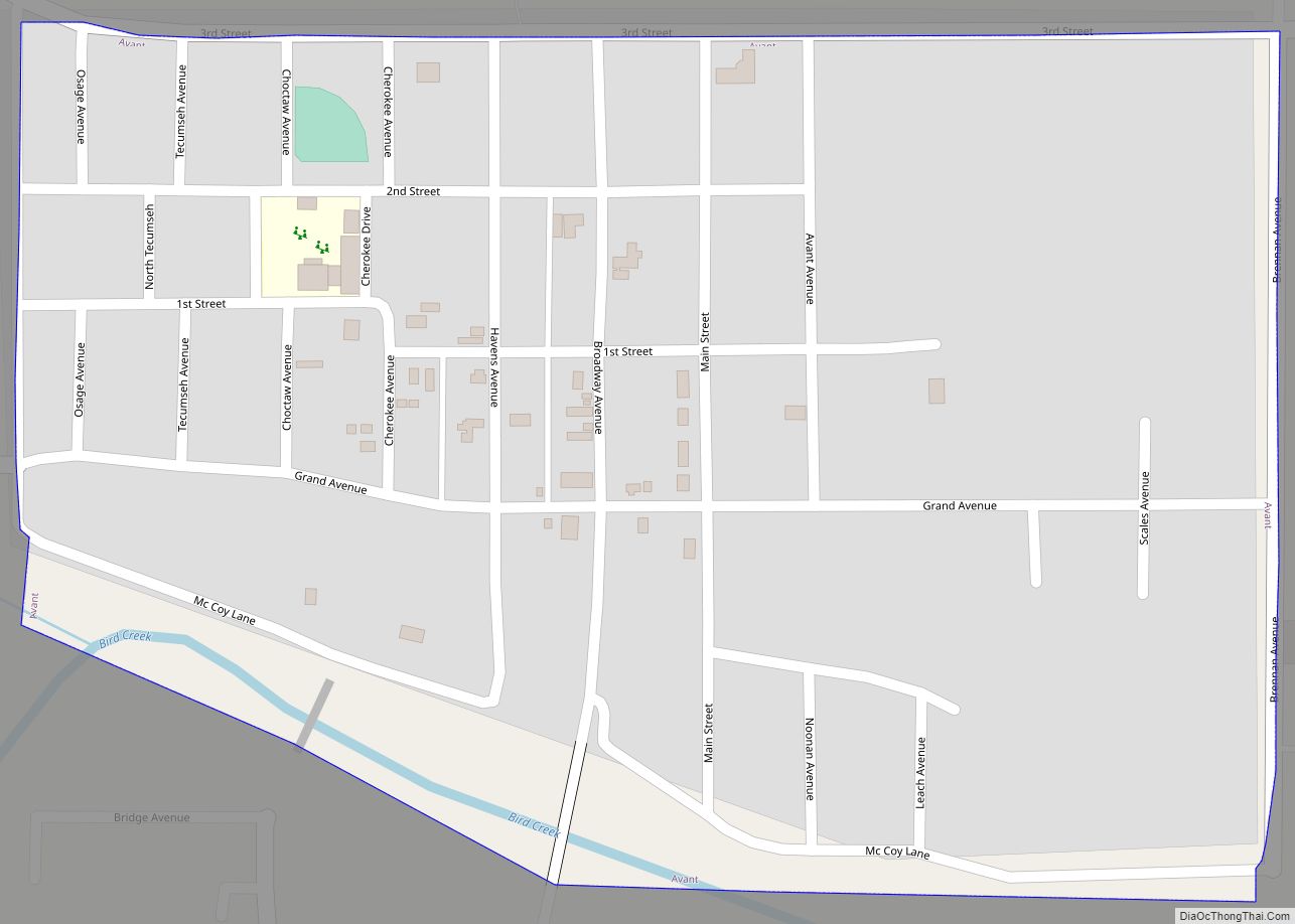
Shidler Road Map
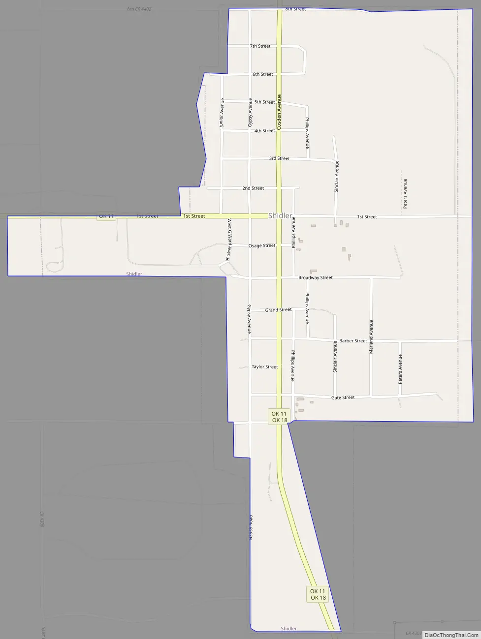
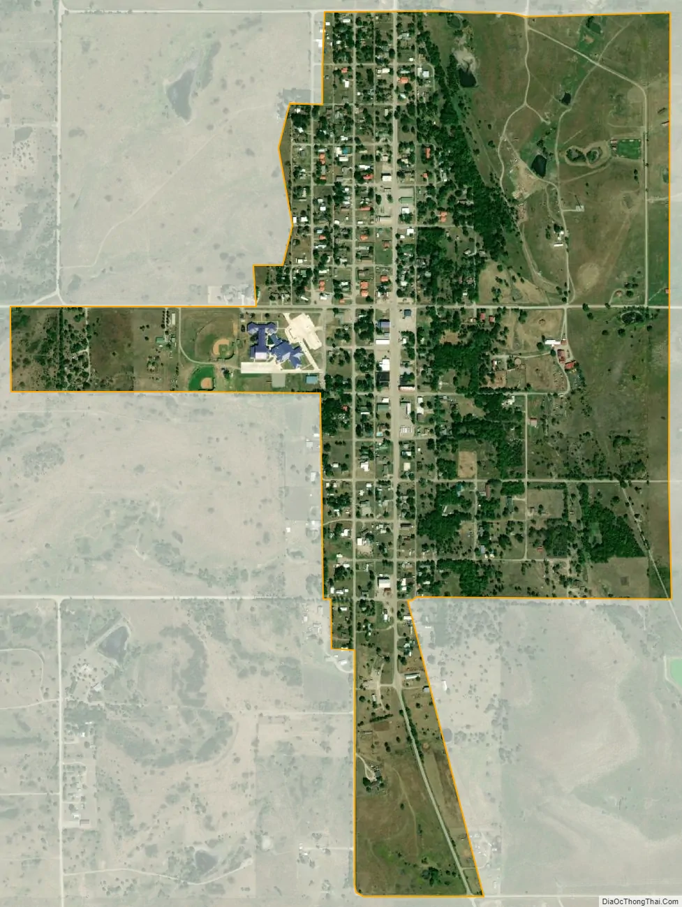
Shidler city Satellite Map
Geography
Shidler is located at 36°46′49″N 96°39′43″W / 36.78028°N 96.66194°W / 36.78028; -96.66194 (36.780342, -96.661844). It is 29 miles (47 km) northwest of Pawhuska, the seat of Osage County.
According to the United States Census Bureau, the city has a total area of 0.8 square miles (2.1 km), all land.
See also
Map of Oklahoma State and its subdivision:- Adair
- Alfalfa
- Atoka
- Beaver
- Beckham
- Blaine
- Bryan
- Caddo
- Canadian
- Carter
- Cherokee
- Choctaw
- Cimarron
- Cleveland
- Coal
- Comanche
- Cotton
- Craig
- Creek
- Custer
- Delaware
- Dewey
- Ellis
- Garfield
- Garvin
- Grady
- Grant
- Greer
- Harmon
- Harper
- Haskell
- Hughes
- Jackson
- Jefferson
- Johnston
- Kay
- Kingfisher
- Kiowa
- Latimer
- Le Flore
- Lincoln
- Logan
- Love
- Major
- Marshall
- Mayes
- McClain
- McCurtain
- McIntosh
- Murray
- Muskogee
- Noble
- Nowata
- Okfuskee
- Oklahoma
- Okmulgee
- Osage
- Ottawa
- Pawnee
- Payne
- Pittsburg
- Pontotoc
- Pottawatomie
- Pushmataha
- Roger Mills
- Rogers
- Seminole
- Sequoyah
- Stephens
- Texas
- Tillman
- Tulsa
- Wagoner
- Washington
- Washita
- Woods
- Woodward
- Alabama
- Alaska
- Arizona
- Arkansas
- California
- Colorado
- Connecticut
- Delaware
- District of Columbia
- Florida
- Georgia
- Hawaii
- Idaho
- Illinois
- Indiana
- Iowa
- Kansas
- Kentucky
- Louisiana
- Maine
- Maryland
- Massachusetts
- Michigan
- Minnesota
- Mississippi
- Missouri
- Montana
- Nebraska
- Nevada
- New Hampshire
- New Jersey
- New Mexico
- New York
- North Carolina
- North Dakota
- Ohio
- Oklahoma
- Oregon
- Pennsylvania
- Rhode Island
- South Carolina
- South Dakota
- Tennessee
- Texas
- Utah
- Vermont
- Virginia
- Washington
- West Virginia
- Wisconsin
- Wyoming