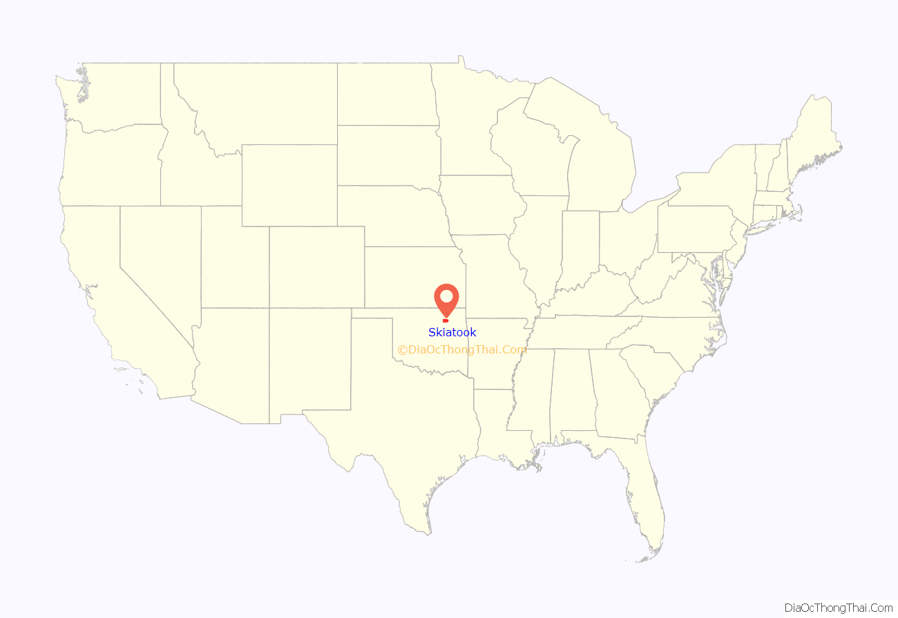
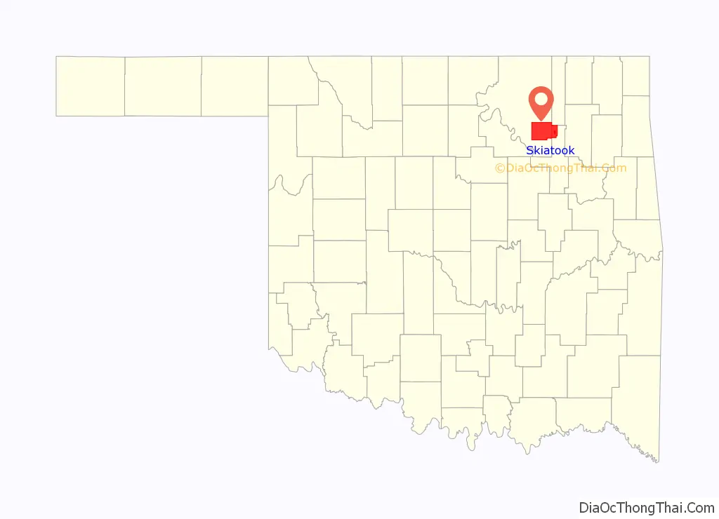
Skiatook (Skī·ǎ·tōōk or Skī·ǎ·tǒǒk versus Skī·tōōk or Skī·tǒǒk) is a city in Osage and Tulsa counties in the U.S. state of Oklahoma located in the northeastern part of the state, approximately 20 miles north and west of Tulsa. Due to its location on the border between Osage County and Tulsa County, Skiatook has been referred to as “the Gateway to the Osage.” The town includes the state highway junction of Oklahoma State Highway 11 and Oklahoma State Highway 20. The population was 8,450 at the 2020 census, an increase of 14.24 percent over the figure of 7,397 recorded in 2010.
| Name: | Skiatook city |
|---|---|
| LSAD Code: | 25 |
| LSAD Description: | city (suffix) |
| State: | Oklahoma |
| County: | Osage County, Tulsa County |
| Elevation: | 646 ft (197 m) |
| Total Area: | 13.86 sq mi (35.89 km²) |
| Land Area: | 13.71 sq mi (35.52 km²) |
| Water Area: | 0.14 sq mi (0.37 km²) |
| Total Population: | 8,450 |
| Population Density: | 616.11/sq mi (237.88/km²) |
| ZIP code: | 74070 |
| Area code: | 539/918 |
| FIPS code: | 4067850 |
| GNISfeature ID: | 1098093 |
| Website: | www.cityofskiatook.com |
Online Interactive Map
Click on ![]() to view map in "full screen" mode.
to view map in "full screen" mode.
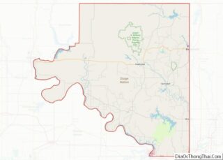
Skiatook location map. Where is Skiatook city?
History
19th century
The Battle of Chustenahlah was fought just west of Skiatook, on December 26, 1861, during the American Civil War. The battle began when Confederate Col. James McIntosh ordered an attack on the Union aligned Creek Chief Opothleyahola’s forces. Opothleyahola was travelling with about 1,700 Creek and Seminole refugees following his defeat at the Battle of Chusto-Talasah. After being defeated by the Confederate forces, many refugees were forced to abandoned their supplies as they fled to Kansas. A historical marker commemorates the battle.
William C. Rogers, last hereditary Chief of the Cherokees, founded Skiatook in 1872, when he established a trading post in the Cherokee Nation on the south bank of Bird Creek. When a post office was established in Rogers’ store in 1872, the place was named Ski-a-took. The word is Cherokee in origin, and means “Big-Indian-Me” or refers to something of large size. An Osage trader, Skiatooka is also cited as influencing the town’s name. In 1892, the name was changed from Ski-a-took to Skiatook.
20th century
On December 18, 1904, a bank was established on the present day location of Skiatook. William C. Rogers relocated his general store and post office to the town and began building near the bank. In March 1905 the Midland Valley Railroad was built through the town and the settlement expanded to include parts of Osage County and the Osage Nation. The route no longer exists, but has been converted from rail into the 14.5 mile Osage Prairie Trail linking Skiatook with Tulsa to the south. Skiatook’s first newspaper, the Skiatook Sentinel, began publication in April 1905 and the town was incorporated shortly after on May 28, 1905. Skiatook’s first school was also founded in 1905.
After Oklahoma Statehood in 1907, construction began on permanent roads and bridges. The first church building constructed in Skiatook was the First Christian Church in 1907. Cement sidewalks were constructed between 1909 and 1910, and in 1912 Skiatook received water, sewer and electric light improvements. By 1920, the towns population had increased to around 2000. A road to Tulsa was paved in the early 1920s, and with good roads leading out in all directions, Skiatook became known as the “Gateway to all points North, South, East and West”. In the 1930s, Skiatook began purchasing water from Lake Spavinaw. The completion of Skiatook Lake in 1984 gave Skiatook its own water source.
21st century
In the 2000’s Skiatook commissioned a “Main Street program” in order to revitalize its downtown area.
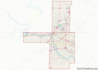
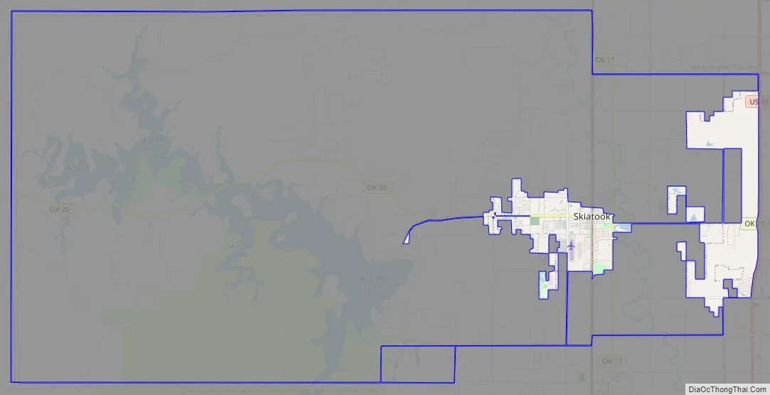
Skiatook Road Map
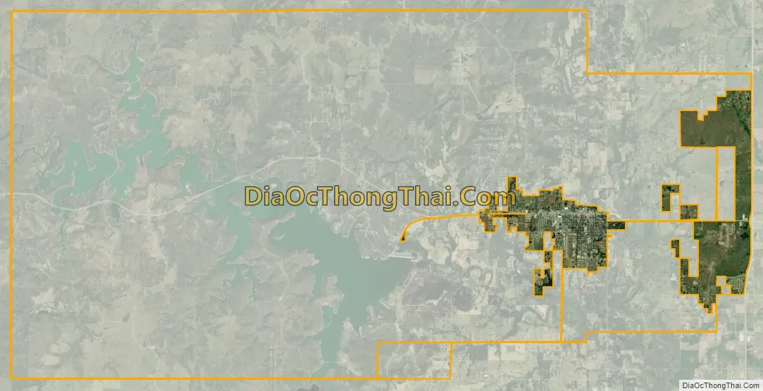
Skiatook city Satellite Map
Geography
Skiatook is located in the northeastern part of the state, approximately 20 miles north and west of Tulsa. Due to its location on the border between Osage County and Tulsa County, Skiatook has been referred to as “the Gateway to the Osage.” The town includes the state highway junction of Oklahoma State Highway 11 and Oklahoma State Highway 20.
Skiatook Lake
Skiatook Dam and Lake was authorized for construction by the Flood Control Act approved October 23, 1962 (87th Congress). It is one of five projects in the Bird Creek Basin plan recommended to meet the comprehensive water resources needs of the area. The Damsite is located on Hominy Creek about 5 miles (8 km) west of Skiatook in Osage County, Oklahoma. The project serves the purposes of flood control, water quality, water supply, recreation, and fish and wildlife management. The total cost of the project was approximately $120 million. It was completed in 1984. Elevated 714.0 feet (217.6 m) above sea level, the lake has a surface area of about 10,500 acres (42 km) and 160 miles (260 km) of shoreline.
See also
Map of Oklahoma State and its subdivision:- Adair
- Alfalfa
- Atoka
- Beaver
- Beckham
- Blaine
- Bryan
- Caddo
- Canadian
- Carter
- Cherokee
- Choctaw
- Cimarron
- Cleveland
- Coal
- Comanche
- Cotton
- Craig
- Creek
- Custer
- Delaware
- Dewey
- Ellis
- Garfield
- Garvin
- Grady
- Grant
- Greer
- Harmon
- Harper
- Haskell
- Hughes
- Jackson
- Jefferson
- Johnston
- Kay
- Kingfisher
- Kiowa
- Latimer
- Le Flore
- Lincoln
- Logan
- Love
- Major
- Marshall
- Mayes
- McClain
- McCurtain
- McIntosh
- Murray
- Muskogee
- Noble
- Nowata
- Okfuskee
- Oklahoma
- Okmulgee
- Osage
- Ottawa
- Pawnee
- Payne
- Pittsburg
- Pontotoc
- Pottawatomie
- Pushmataha
- Roger Mills
- Rogers
- Seminole
- Sequoyah
- Stephens
- Texas
- Tillman
- Tulsa
- Wagoner
- Washington
- Washita
- Woods
- Woodward
- Alabama
- Alaska
- Arizona
- Arkansas
- California
- Colorado
- Connecticut
- Delaware
- District of Columbia
- Florida
- Georgia
- Hawaii
- Idaho
- Illinois
- Indiana
- Iowa
- Kansas
- Kentucky
- Louisiana
- Maine
- Maryland
- Massachusetts
- Michigan
- Minnesota
- Mississippi
- Missouri
- Montana
- Nebraska
- Nevada
- New Hampshire
- New Jersey
- New Mexico
- New York
- North Carolina
- North Dakota
- Ohio
- Oklahoma
- Oregon
- Pennsylvania
- Rhode Island
- South Carolina
- South Dakota
- Tennessee
- Texas
- Utah
- Vermont
- Virginia
- Washington
- West Virginia
- Wisconsin
- Wyoming