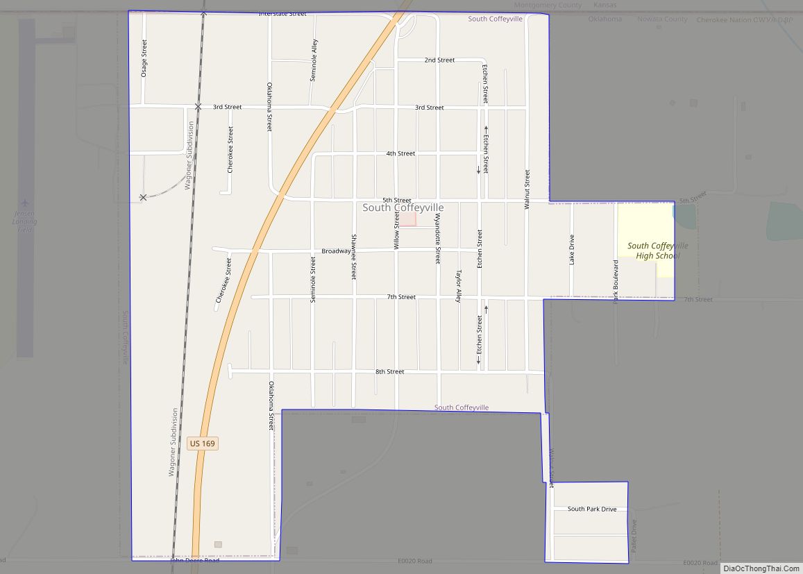
South Coffeyville is a town in Nowata County, Oklahoma, United States. As of the 2010 census, the town population was 785. The city of Coffeyville, Kansas is located approximately one mile north of the city, existing as a separate political entity.
| Name: | South Coffeyville town |
|---|---|
| LSAD Code: | 43 |
| LSAD Description: | town (suffix) |
| State: | Oklahoma |
| County: | Nowata County |
| Elevation: | 728 ft (222 m) |
| Total Area: | 0.74 sq mi (1.91 km²) |
| Land Area: | 0.74 sq mi (1.91 km²) |
| Water Area: | 0.00 sq mi (0.00 km²) |
| Total Population: | 683 |
| Population Density: | 925.47/sq mi (357.42/km²) |
| ZIP code: | 74072 |
| Area code: | 539/918 |
| FIPS code: | 4068600 |
| GNISfeature ID: | 1098224 |
Online Interactive Map
Click on ![]() to view map in "full screen" mode.
to view map in "full screen" mode.
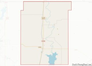
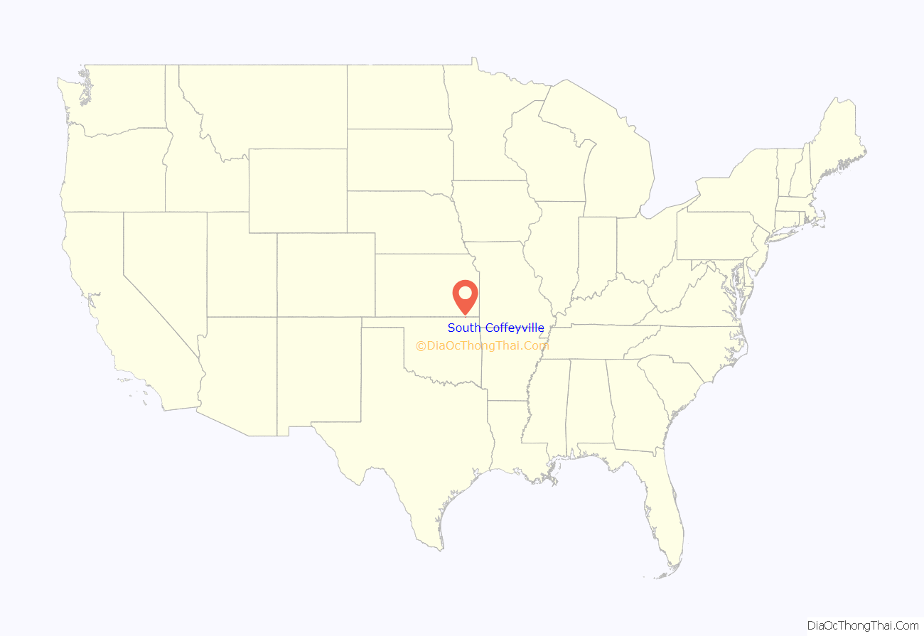
South Coffeyville location map. Where is South Coffeyville town?

History
For millennia, the land now known as Oklahoma was inhabited by Native Americans. In the 17th century, white trappers first visiting the area found it occupied mostly by the Osage and Quawpaw tribes. In 1803, modern Oklahoma was secured by the United States as part of the Louisiana Purchase. In 1819, the Arkansas Territory was organized, then was split in 1824 and 1828. An 1828 treaty with the Cherokee Nation assigned the area of Nowata County to the Cherokees, who included it in 1856 in their newly created Cooweescoowee District. The Cherokees and the Delaware signed a treaty in 1867. In 1890, the area became part of the Oklahoma Territory. In 1907, Oklahoma became the 46th U.S. state and Nowata County was founded.
In 1888, the first settlement in the area was established as Stevens, a railhead tent and shack village, built just southwest of present South Coffeyville. It was named after a Missouri, Kansas and Texas Railway builder, Stevens could be found on railroad maps until about 1902 but was eventually abandoned.
In 1906, a settlement called Polson was built approximately one mile northeast near the Missouri, Kansas and Texas Railway and Missouri Pacific Railways. Now part of the Union Pacific railway, the Missouri Pacific Railway had reached the present South Coffeyville townsite in 1889. The settlement was named after Martin and Earl Polson, early settlers, that designation was also short lived.
On March 18, 1909, a post office was established and the settlement was renamed to Etchen, in honor of a local citizen named John P. Etchen.
On April 29, 1909, the settlement was renamed a final time to the current South Coffeyville and the South Coffeyville Times newspaper began publication soon after. In August 1909, residents voted for incorporation. The name of South Coffeyville was derived from nearby city of Coffeyville, Kansas, which was named after James A. Coffey.
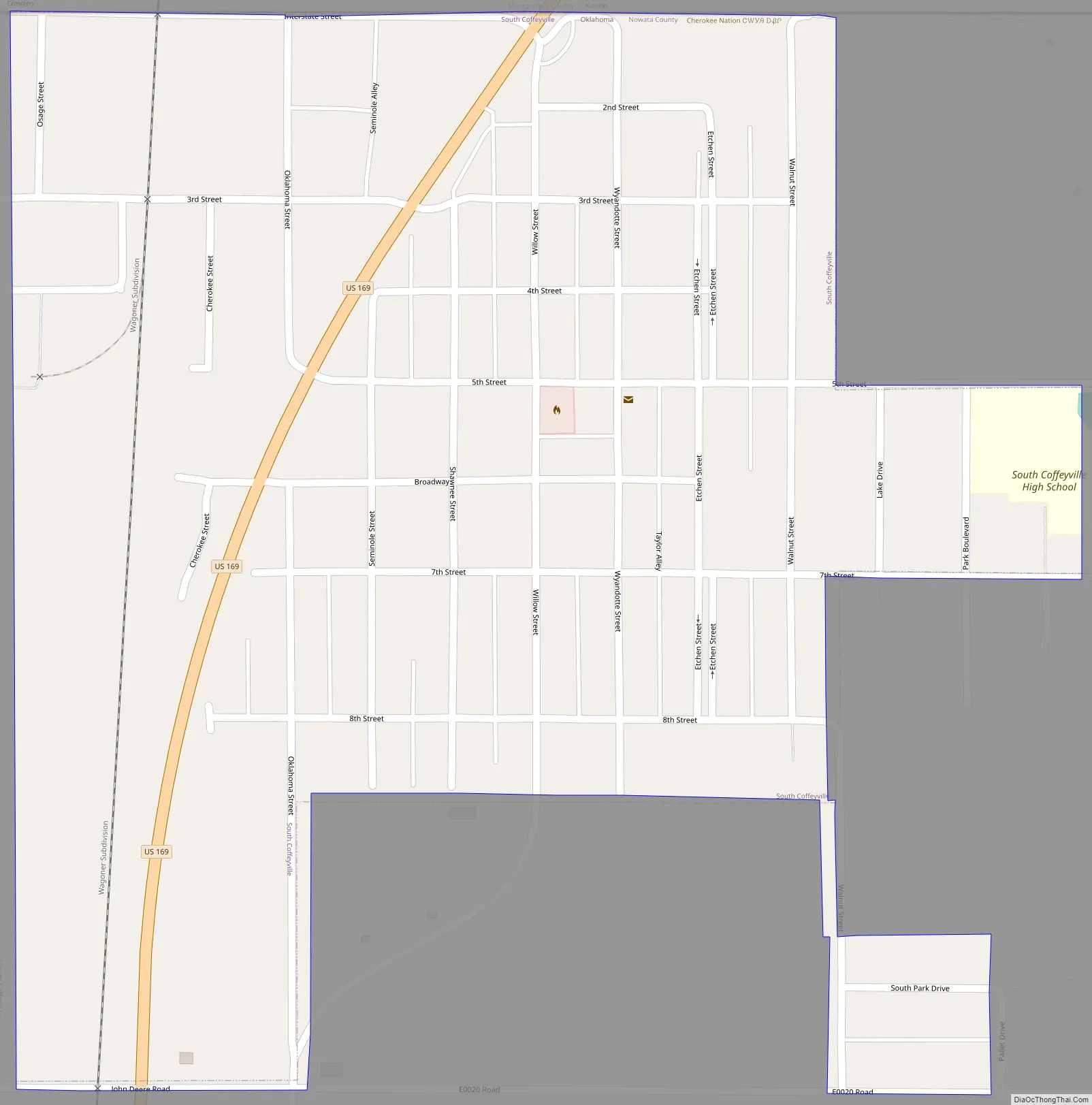
South Coffeyville Road Map
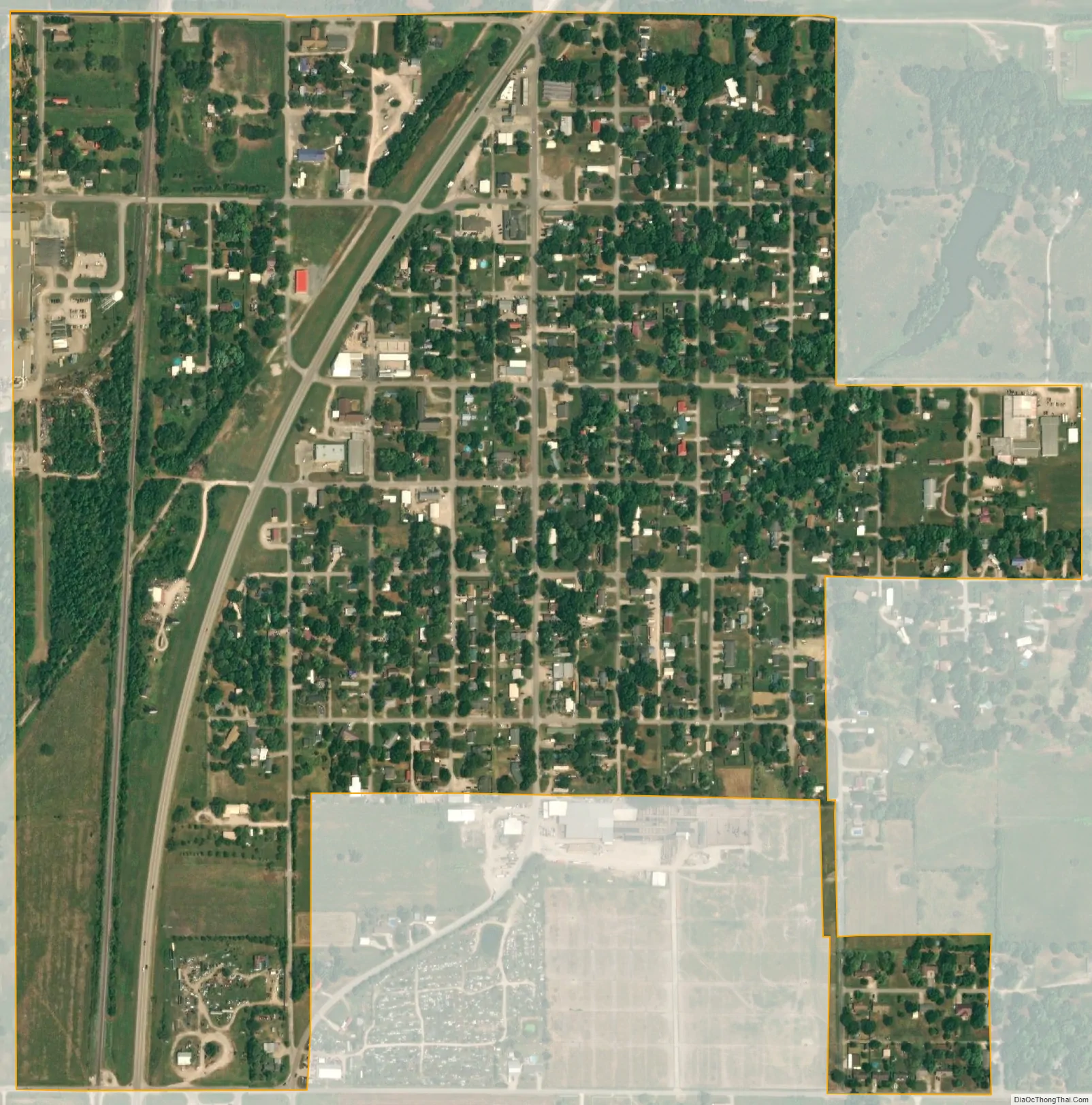
South Coffeyville city Satellite Map
Geography
South Coffeyville is located on US Route 169 just south of the Oklahoma-Kansas state line. The city of Coffeyville, Kansas is 2.5 miles to the north. Onion Creek flows past the north side of the community to its confluence with the Verdigris River 1.5 miles east.
According to the United States Census Bureau, the town has a total area of 0.6 square mile (1.6 km), all land.
See also
Map of Oklahoma State and its subdivision:- Adair
- Alfalfa
- Atoka
- Beaver
- Beckham
- Blaine
- Bryan
- Caddo
- Canadian
- Carter
- Cherokee
- Choctaw
- Cimarron
- Cleveland
- Coal
- Comanche
- Cotton
- Craig
- Creek
- Custer
- Delaware
- Dewey
- Ellis
- Garfield
- Garvin
- Grady
- Grant
- Greer
- Harmon
- Harper
- Haskell
- Hughes
- Jackson
- Jefferson
- Johnston
- Kay
- Kingfisher
- Kiowa
- Latimer
- Le Flore
- Lincoln
- Logan
- Love
- Major
- Marshall
- Mayes
- McClain
- McCurtain
- McIntosh
- Murray
- Muskogee
- Noble
- Nowata
- Okfuskee
- Oklahoma
- Okmulgee
- Osage
- Ottawa
- Pawnee
- Payne
- Pittsburg
- Pontotoc
- Pottawatomie
- Pushmataha
- Roger Mills
- Rogers
- Seminole
- Sequoyah
- Stephens
- Texas
- Tillman
- Tulsa
- Wagoner
- Washington
- Washita
- Woods
- Woodward
- Alabama
- Alaska
- Arizona
- Arkansas
- California
- Colorado
- Connecticut
- Delaware
- District of Columbia
- Florida
- Georgia
- Hawaii
- Idaho
- Illinois
- Indiana
- Iowa
- Kansas
- Kentucky
- Louisiana
- Maine
- Maryland
- Massachusetts
- Michigan
- Minnesota
- Mississippi
- Missouri
- Montana
- Nebraska
- Nevada
- New Hampshire
- New Jersey
- New Mexico
- New York
- North Carolina
- North Dakota
- Ohio
- Oklahoma
- Oregon
- Pennsylvania
- Rhode Island
- South Carolina
- South Dakota
- Tennessee
- Texas
- Utah
- Vermont
- Virginia
- Washington
- West Virginia
- Wisconsin
- Wyoming