Spaulding is a town in Hughes County, Oklahoma, United States. Although it was initially established at the turn of the 20th century, it did not incorporate as a town until 1978. The population was 178 at the 2010 census, up from 62 in 2000, when the town’s area was approximately one-third of its 2010 area.
| Name: | Spaulding town |
|---|---|
| LSAD Code: | 43 |
| LSAD Description: | town (suffix) |
| State: | Oklahoma |
| County: | Hughes County |
| Elevation: | 814 ft (248 m) |
| Total Area: | 3.15 sq mi (8.16 km²) |
| Land Area: | 3.15 sq mi (8.16 km²) |
| Water Area: | 0.00 sq mi (0.00 km²) |
| Total Population: | 149 |
| Population Density: | 47.27/sq mi (18.25/km²) |
| FIPS code: | 4069000 |
| GNISfeature ID: | 1098340 |
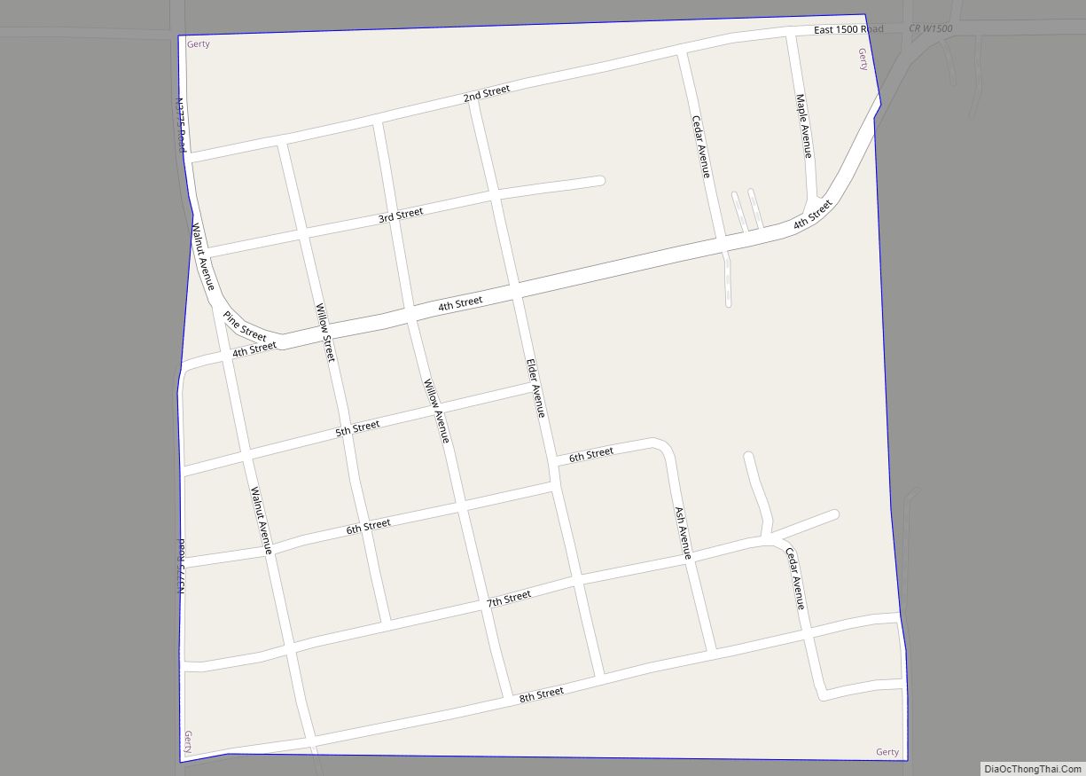
Online Interactive Map
Click on ![]() to view map in "full screen" mode.
to view map in "full screen" mode.
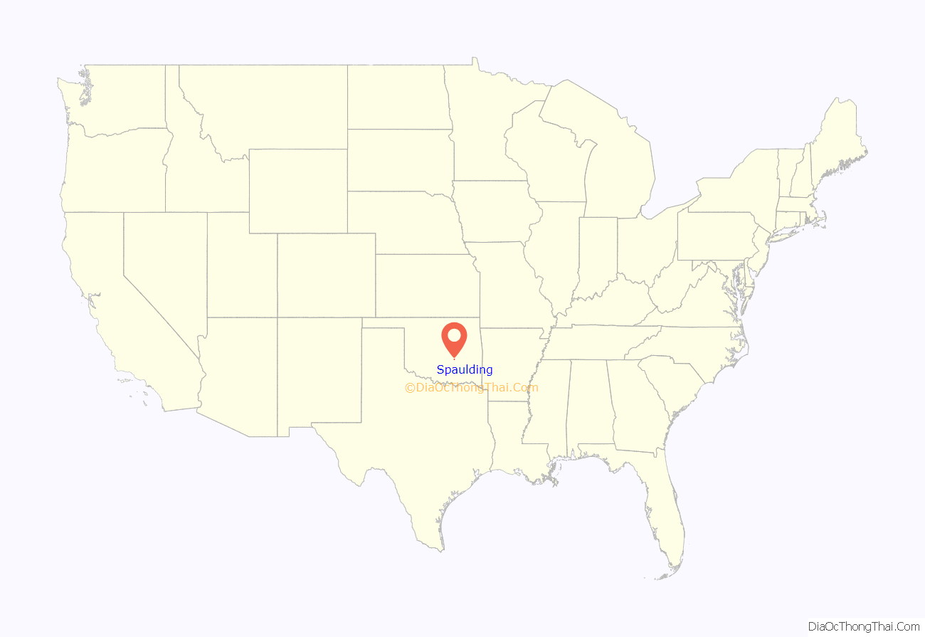
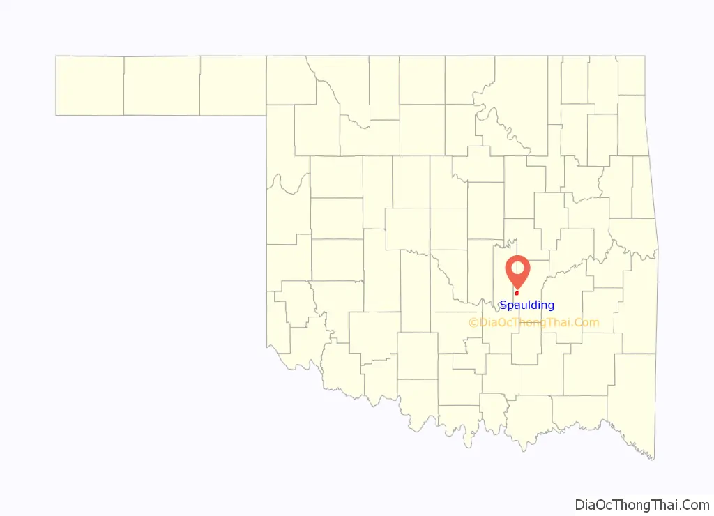
Spaulding location map. Where is Spaulding town?
History
The community of Spaulding began to develop after the St. Louis, Oklahoma and Southern Railway (later the St. Louis and San Francisco Railway) constructed a line between 1900 and 1901 to connect Sapulpa with the Indian Territory area north of the Red River. A post office named Spaulding was established on December 29, 1902.
By 1906, there was a Spaulding school, which had a principal, Nora Coate, and a student enrollment of one Indian and fifty white children. In 1918, R. L. Polk’s Oklahoma State Gazetteer and Business Directory estimated the town’s population at two hundred. At that time eight groceries and general stores served the surrounding agricultural area, which produced cotton and wheat. Residents conducted their banking business in Holdenville. In 1930 two school districts merged to form Spaulding Consolidated district Number Seven. That year’s enrollment in the elementary and high schools reached 155 and 43, respectively. During the 1940s and 1950s Spaulding added two grocery stores. On May 20, 1966, the post office closed.
Spaulding was incorporated as a town on March 17, 1993. After incorporation the town received matching funds from the Oklahoma Department of Agriculture to buy fire-fighting equipment. At the turn of the twenty-first century, the community’s first federal census recorded 62 residents. By 2010 that number had nearly tripled, reaching 178.
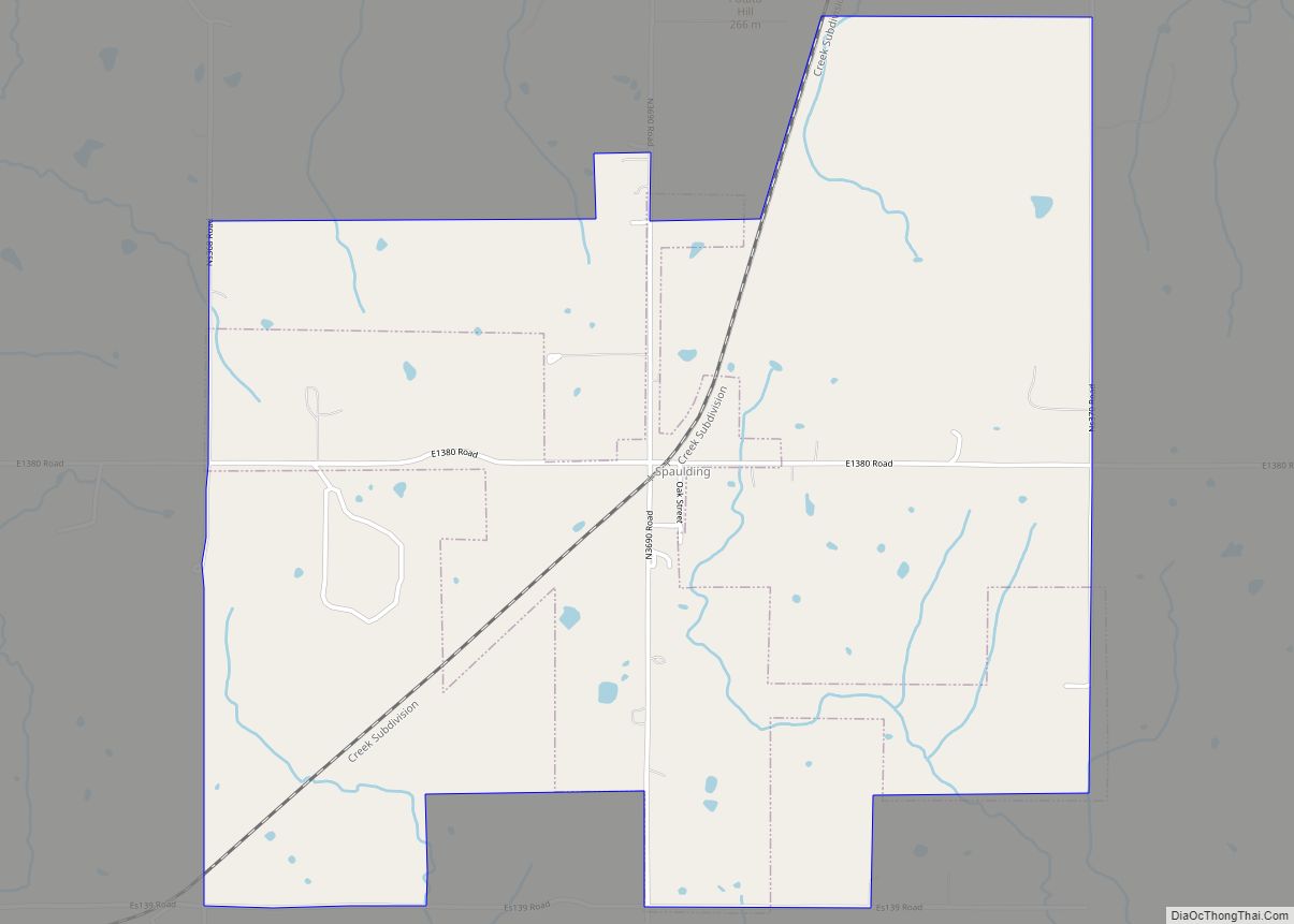
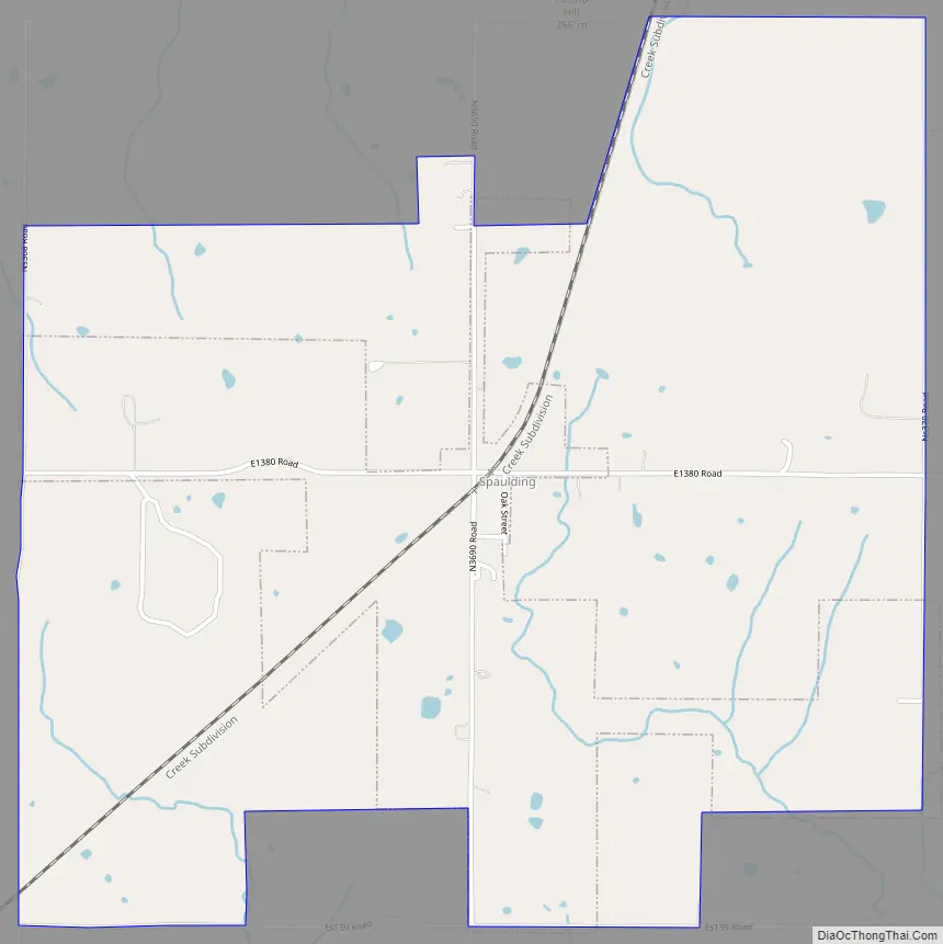
Spaulding Road Map
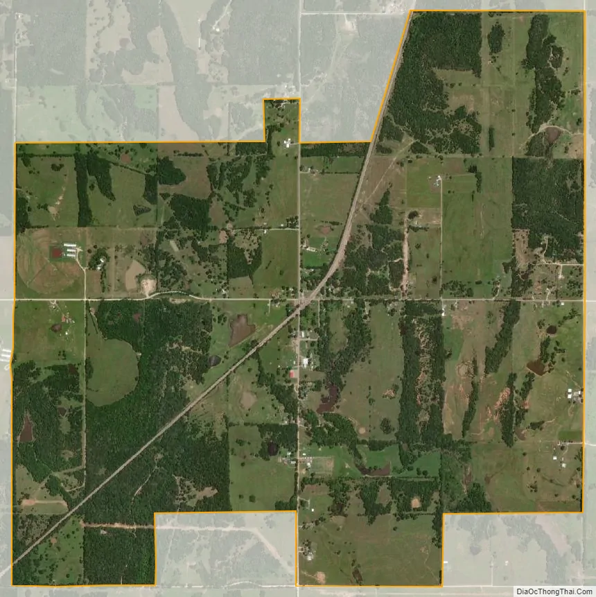
Spaulding city Satellite Map
Geography
Spaulding is located in western Hughes County at 35°0′49″N 96°26′41″W / 35.01361°N 96.44472°W / 35.01361; -96.44472 (35.013476, -96.444737). It is 6.5 miles (10.5 km) southwest of Holdenville, the county seat.
According to the United States Census Bureau, the town has a total area of 3.2 square miles (8.3 km), all land. The town drains east to the Little River, a tributary of the Canadian River.
See also
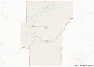
Map of Oklahoma State and its subdivision:- Adair
- Alfalfa
- Atoka
- Beaver
- Beckham
- Blaine
- Bryan
- Caddo
- Canadian
- Carter
- Cherokee
- Choctaw
- Cimarron
- Cleveland
- Coal
- Comanche
- Cotton
- Craig
- Creek
- Custer
- Delaware
- Dewey
- Ellis
- Garfield
- Garvin
- Grady
- Grant
- Greer
- Harmon
- Harper
- Haskell
- Hughes
- Jackson
- Jefferson
- Johnston
- Kay
- Kingfisher
- Kiowa
- Latimer
- Le Flore
- Lincoln
- Logan
- Love
- Major
- Marshall
- Mayes
- McClain
- McCurtain
- McIntosh
- Murray
- Muskogee
- Noble
- Nowata
- Okfuskee
- Oklahoma
- Okmulgee
- Osage
- Ottawa
- Pawnee
- Payne
- Pittsburg
- Pontotoc
- Pottawatomie
- Pushmataha
- Roger Mills
- Rogers
- Seminole
- Sequoyah
- Stephens
- Texas
- Tillman
- Tulsa
- Wagoner
- Washington
- Washita
- Woods
- Woodward
- Alabama
- Alaska
- Arizona
- Arkansas
- California
- Colorado
- Connecticut
- Delaware
- District of Columbia
- Florida
- Georgia
- Hawaii
- Idaho
- Illinois
- Indiana
- Iowa
- Kansas
- Kentucky
- Louisiana
- Maine
- Maryland
- Massachusetts
- Michigan
- Minnesota
- Mississippi
- Missouri
- Montana
- Nebraska
- Nevada
- New Hampshire
- New Jersey
- New Mexico
- New York
- North Carolina
- North Dakota
- Ohio
- Oklahoma
- Oregon
- Pennsylvania
- Rhode Island
- South Carolina
- South Dakota
- Tennessee
- Texas
- Utah
- Vermont
- Virginia
- Washington
- West Virginia
- Wisconsin
- Wyoming