Sperry is a town in Tulsa County, Oklahoma, United States. The population was 1,205 in the 2010 U. S. census, compared to 1,351 in 2000. It is primarily a bedroom community, since approximately 85 percent of the employed residents commute to work in Tulsa and other nearby towns. Sperry also has an active retirement community.
| Name: | Sperry town |
|---|---|
| LSAD Code: | 43 |
| LSAD Description: | town (suffix) |
| State: | Oklahoma |
| County: | Osage County, Tulsa County |
| Elevation: | 623 ft (190 m) |
| Total Area: | 1.81 sq mi (4.70 km²) |
| Land Area: | 1.77 sq mi (4.59 km²) |
| Water Area: | 0.04 sq mi (0.11 km²) |
| Total Population: | 1,115 |
| Population Density: | 629.59/sq mi (243.04/km²) |
| ZIP code: | 74073 |
| Area code: | 539/918 |
| FIPS code: | 4069300 |
| GNISfeature ID: | 1098359 |
Online Interactive Map
Click on ![]() to view map in "full screen" mode.
to view map in "full screen" mode.
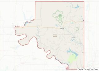
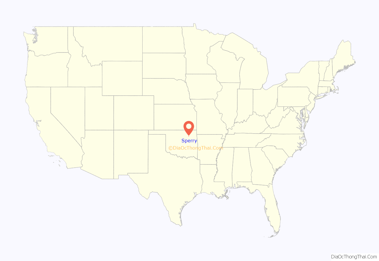
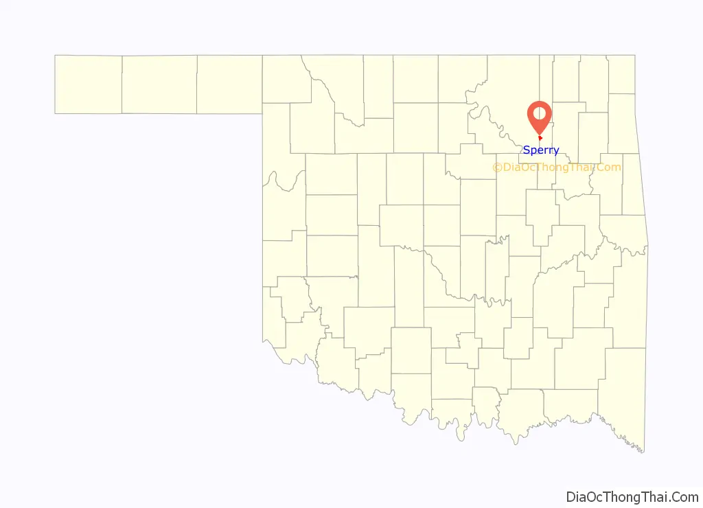
Sperry location map. Where is Sperry town?
History
Native American activity in the area antedates the establishment of the town. Of note during the Civil War was the Battle of Chusto-Talasah, fought approximately nine miles southeast on the “Caving Banks” bend of Bird Creek, where on December 9, 1861, Opothleyahola’s Union-allied Indians met the forces of Col. D.H. Cooper’s Confederate troops.
Sperry was originally known as Beuhler Switch. It was named after Charles Beuhler, an employee of the Midland Valley Railroad. The Sperry post office in the Cherokee Nation was established on May 17, 1902 to serve a rural community between Hominy and Delaware Creeks. The post office was located in the Carson Ranch house. The origin of the name Sperry is not clear. One source claims that the name was derived from the surname of a local landowner named Henry Spybuck. The Midland Valley Railroad built a line from Arkansas to Eastern Kansas that reached Sperry in March 1905. The route no longer exists, but has been converted from rail into the 14.5 mile Osage Prairie Trail linking Sperry with Tulsa to the south and Skiatook to the north.
Exploration for oil brought prosperity between 1905 and 1910. Sperry incorporated in 1920, when the census recorded a population of 487. Two communities joined to form present-day Sperry. One was previously known as “Buehler Switch.” This was the larger community, the location of the railroad and depot, and centered around 96th Street North and S. H. 11. The smaller community, consisting of only two or three homes and a general store/post office housed in the same building, was actually known as Sperry. It was on Hominy Creek. near 106th Street North and North Peoria. When statehood was granted in 1907, the post office was renamed Sperry and was moved from the general store to a new grocery store near the depot.
From 1982 to 1989, the Sperry WPA armory served as headquarters to the newly organized Oklahoma Army National Guard 45th Special Operations Aviation Regiment. The “Lords of Darkness” specialized in operating the OH-6 Little Bird helicopter while using night vision goggles. Aircraft were kept a short distance from the Tulsa Air National Guard Base. The unit evolved into the 1-245th Aviation Regiment, now housed at the Tulsa Army National Guard Aviation Complex near 46th St N and Highway 169 which was built 1988.
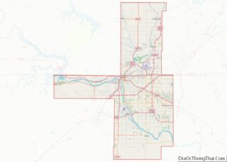
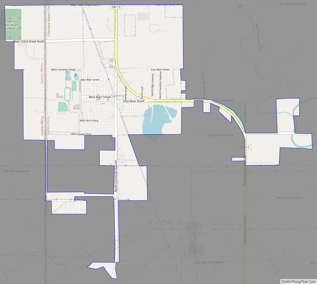
Sperry Road Map
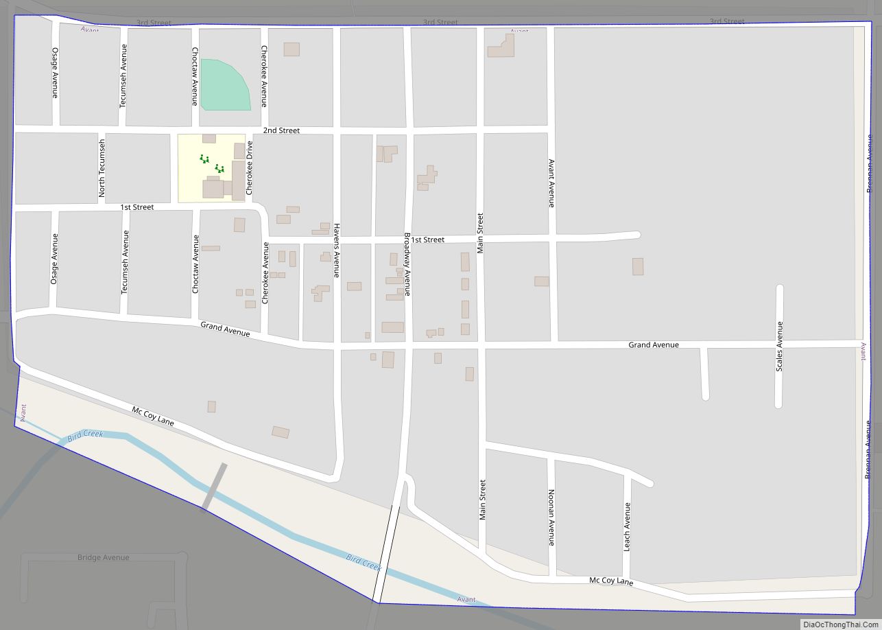
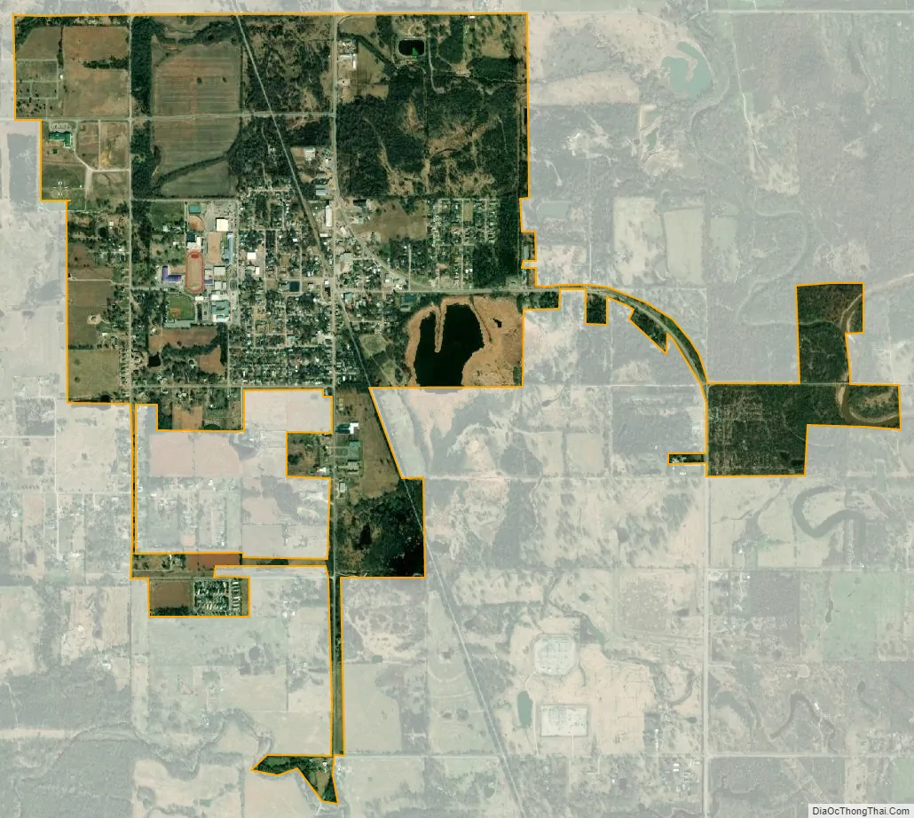
Sperry city Satellite Map
Geography
Sperry is located at 36°17′43″N 95°59′24″W / 36.29528°N 95.99000°W / 36.29528; -95.99000 (36.295241, -95.989898). It is approximately 10 miles (16 km) north of downtown Tulsa.
According to the United States Census Bureau, the town has a total area of 0.9 square miles (2.3 km), all land.
See also
Map of Oklahoma State and its subdivision:- Adair
- Alfalfa
- Atoka
- Beaver
- Beckham
- Blaine
- Bryan
- Caddo
- Canadian
- Carter
- Cherokee
- Choctaw
- Cimarron
- Cleveland
- Coal
- Comanche
- Cotton
- Craig
- Creek
- Custer
- Delaware
- Dewey
- Ellis
- Garfield
- Garvin
- Grady
- Grant
- Greer
- Harmon
- Harper
- Haskell
- Hughes
- Jackson
- Jefferson
- Johnston
- Kay
- Kingfisher
- Kiowa
- Latimer
- Le Flore
- Lincoln
- Logan
- Love
- Major
- Marshall
- Mayes
- McClain
- McCurtain
- McIntosh
- Murray
- Muskogee
- Noble
- Nowata
- Okfuskee
- Oklahoma
- Okmulgee
- Osage
- Ottawa
- Pawnee
- Payne
- Pittsburg
- Pontotoc
- Pottawatomie
- Pushmataha
- Roger Mills
- Rogers
- Seminole
- Sequoyah
- Stephens
- Texas
- Tillman
- Tulsa
- Wagoner
- Washington
- Washita
- Woods
- Woodward
- Alabama
- Alaska
- Arizona
- Arkansas
- California
- Colorado
- Connecticut
- Delaware
- District of Columbia
- Florida
- Georgia
- Hawaii
- Idaho
- Illinois
- Indiana
- Iowa
- Kansas
- Kentucky
- Louisiana
- Maine
- Maryland
- Massachusetts
- Michigan
- Minnesota
- Mississippi
- Missouri
- Montana
- Nebraska
- Nevada
- New Hampshire
- New Jersey
- New Mexico
- New York
- North Carolina
- North Dakota
- Ohio
- Oklahoma
- Oregon
- Pennsylvania
- Rhode Island
- South Carolina
- South Dakota
- Tennessee
- Texas
- Utah
- Vermont
- Virginia
- Washington
- West Virginia
- Wisconsin
- Wyoming