Stidham is a town in McIntosh County, Oklahoma, United States. The population was 16 at the 2010 census, a decline of 21.7 percent from 23 in 2000.
| Name: | Stidham town |
|---|---|
| LSAD Code: | 43 |
| LSAD Description: | town (suffix) |
| State: | Oklahoma |
| County: | McIntosh County |
| Elevation: | 627 ft (191 m) |
| Total Area: | 0.03 sq mi (0.08 km²) |
| Land Area: | 0.03 sq mi (0.08 km²) |
| Water Area: | 0.00 sq mi (0.00 km²) |
| Total Population: | 17 |
| Population Density: | 531.25/sq mi (207.43/km²) |
| ZIP code: | 74432, 74461 |
| Area code: | 539/918 |
| FIPS code: | 4070200 |
| GNISfeature ID: | 1098534 |
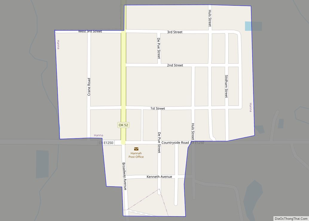
Online Interactive Map
Click on ![]() to view map in "full screen" mode.
to view map in "full screen" mode.
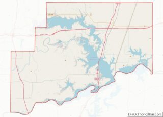
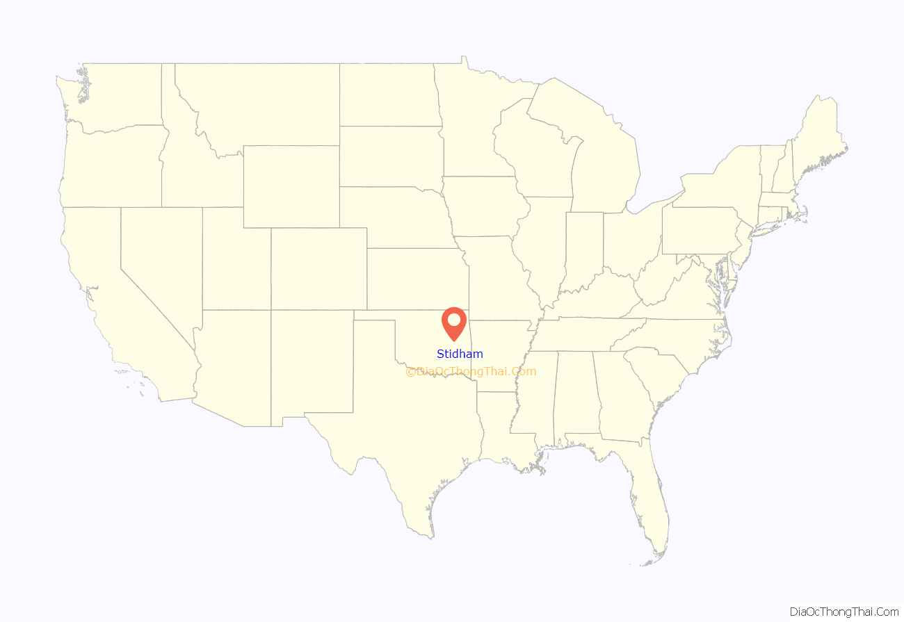
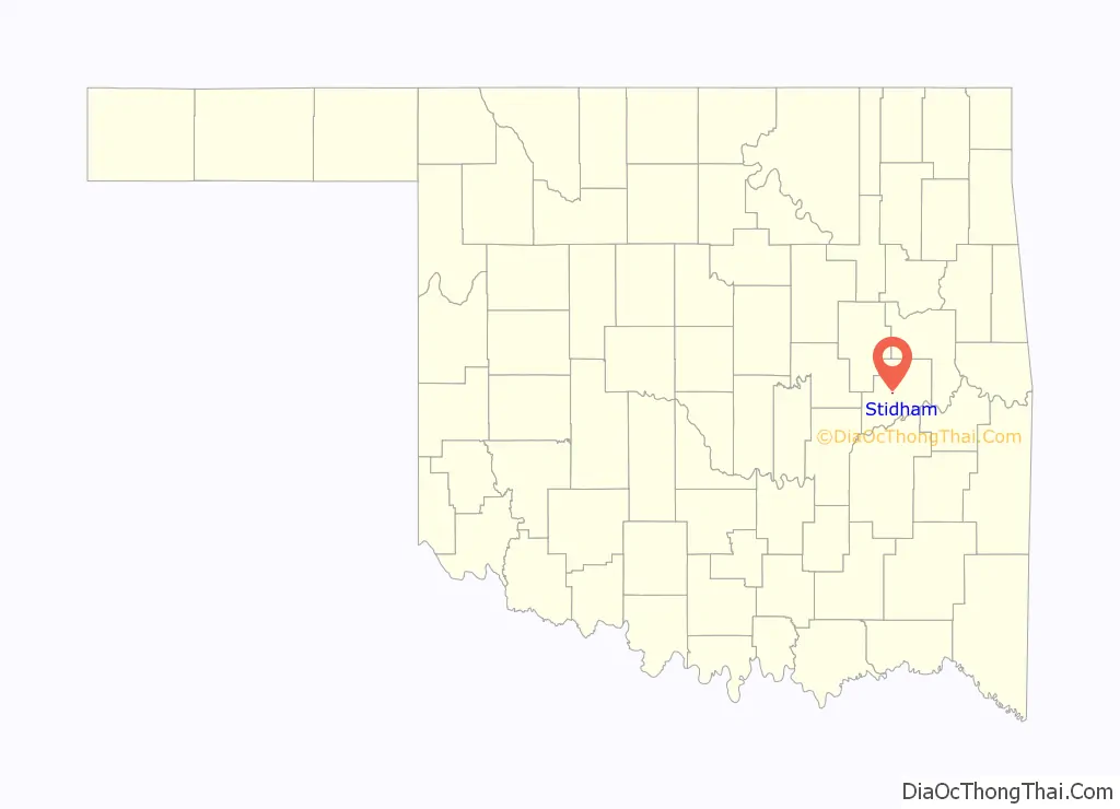
Stidham location map. Where is Stidham town?
History
Jackey “Pete” Lyle Bedford, local farmer, was born on April 20, 1944, in Eufaula, Oklahoma. While attending Connors College, he played baseball in Muskogee with the American Legion. He also played baseball in the San Francisco Giants’ training camp for two summers while in college. He died November 12, 2011.
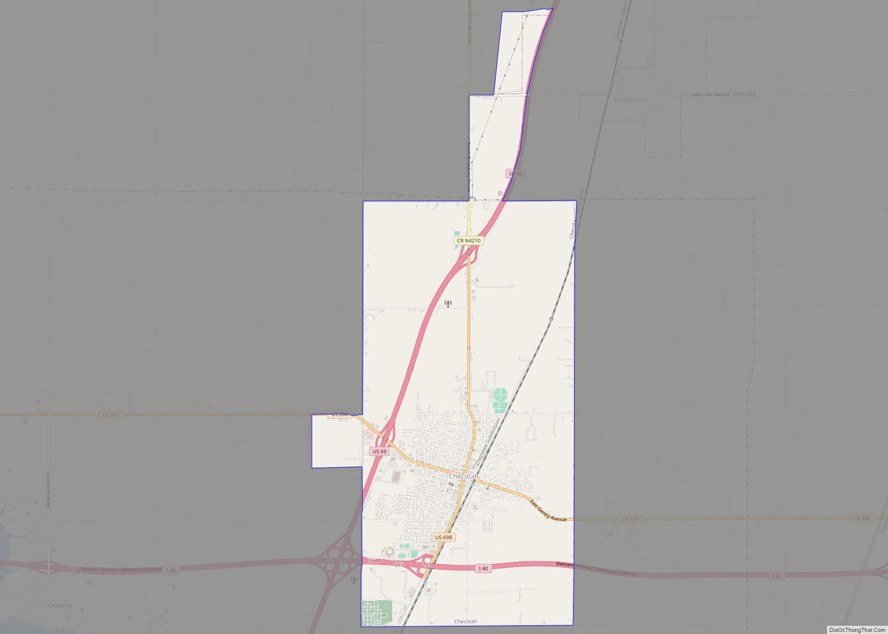
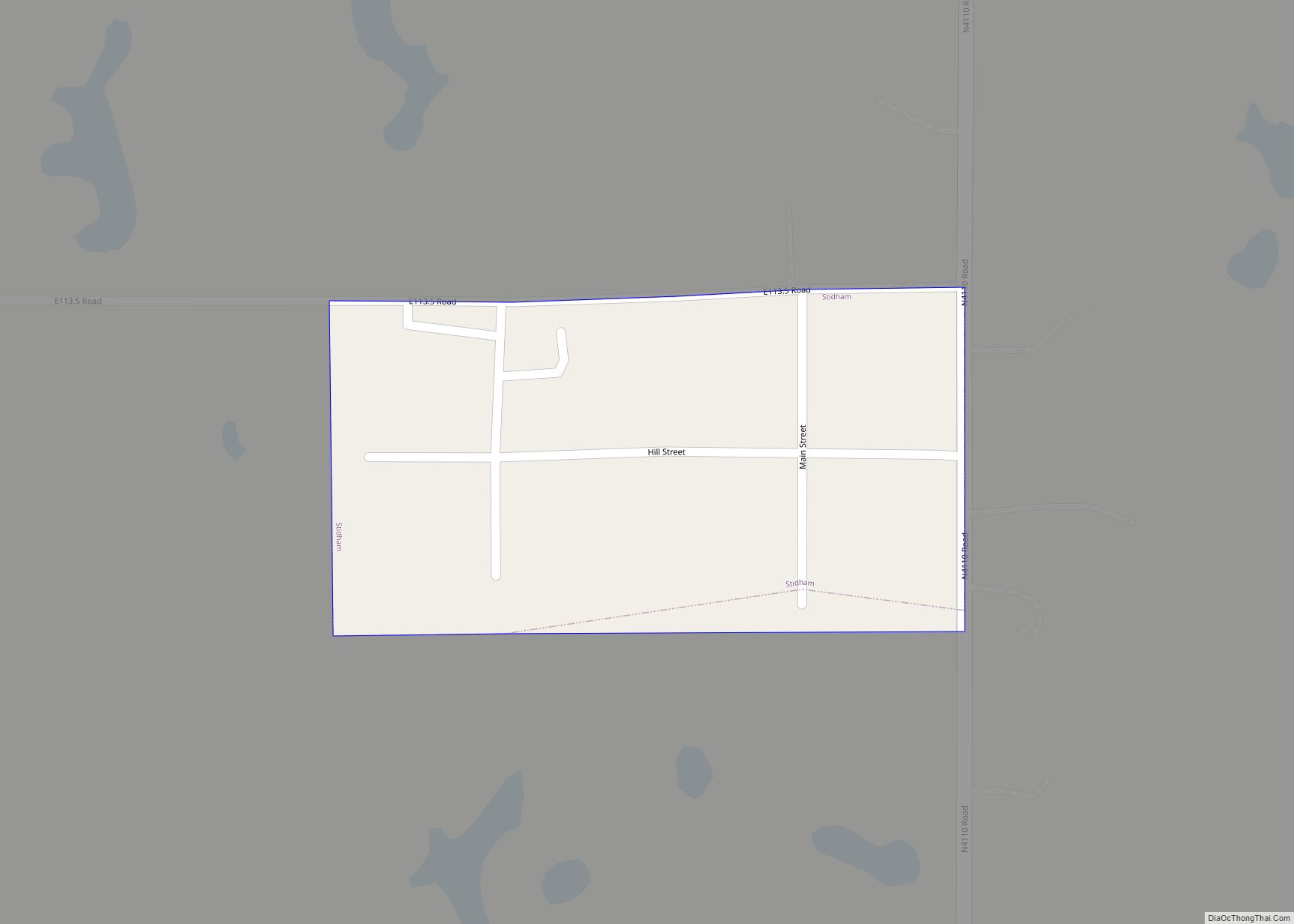
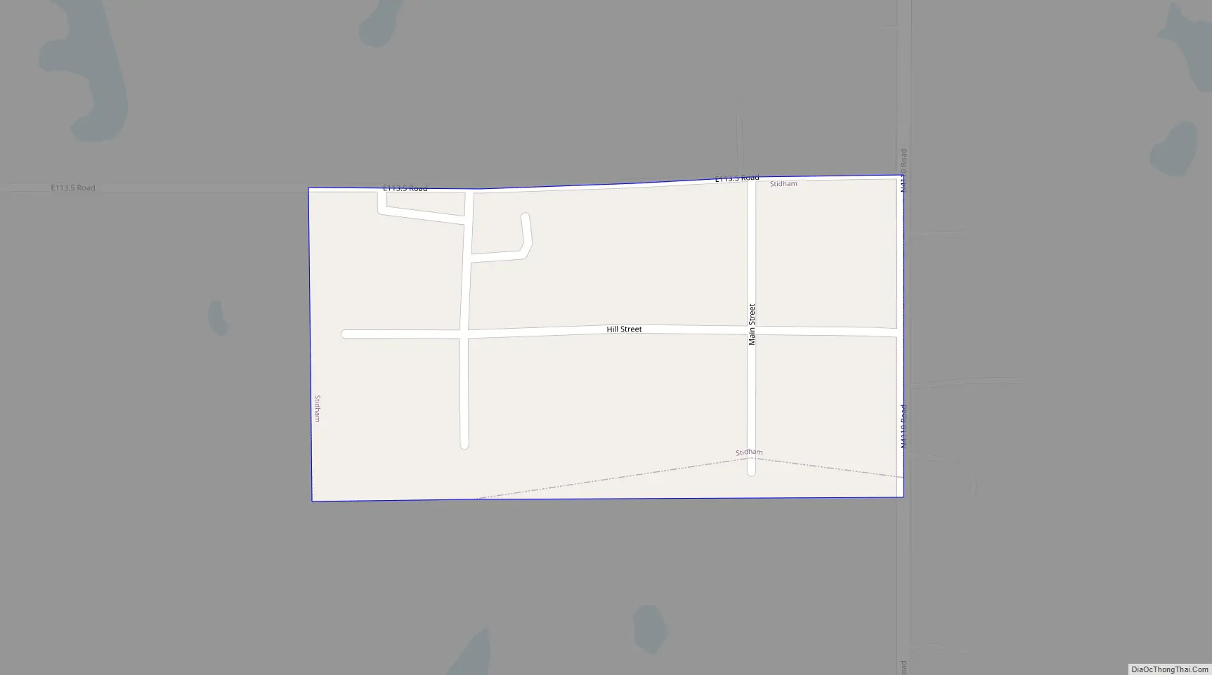
Stidham Road Map
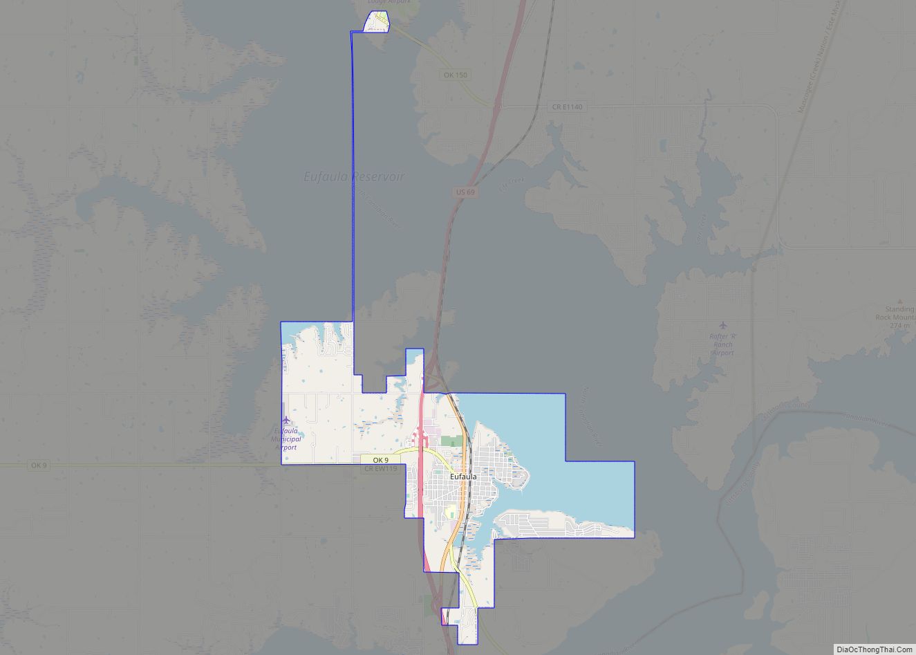
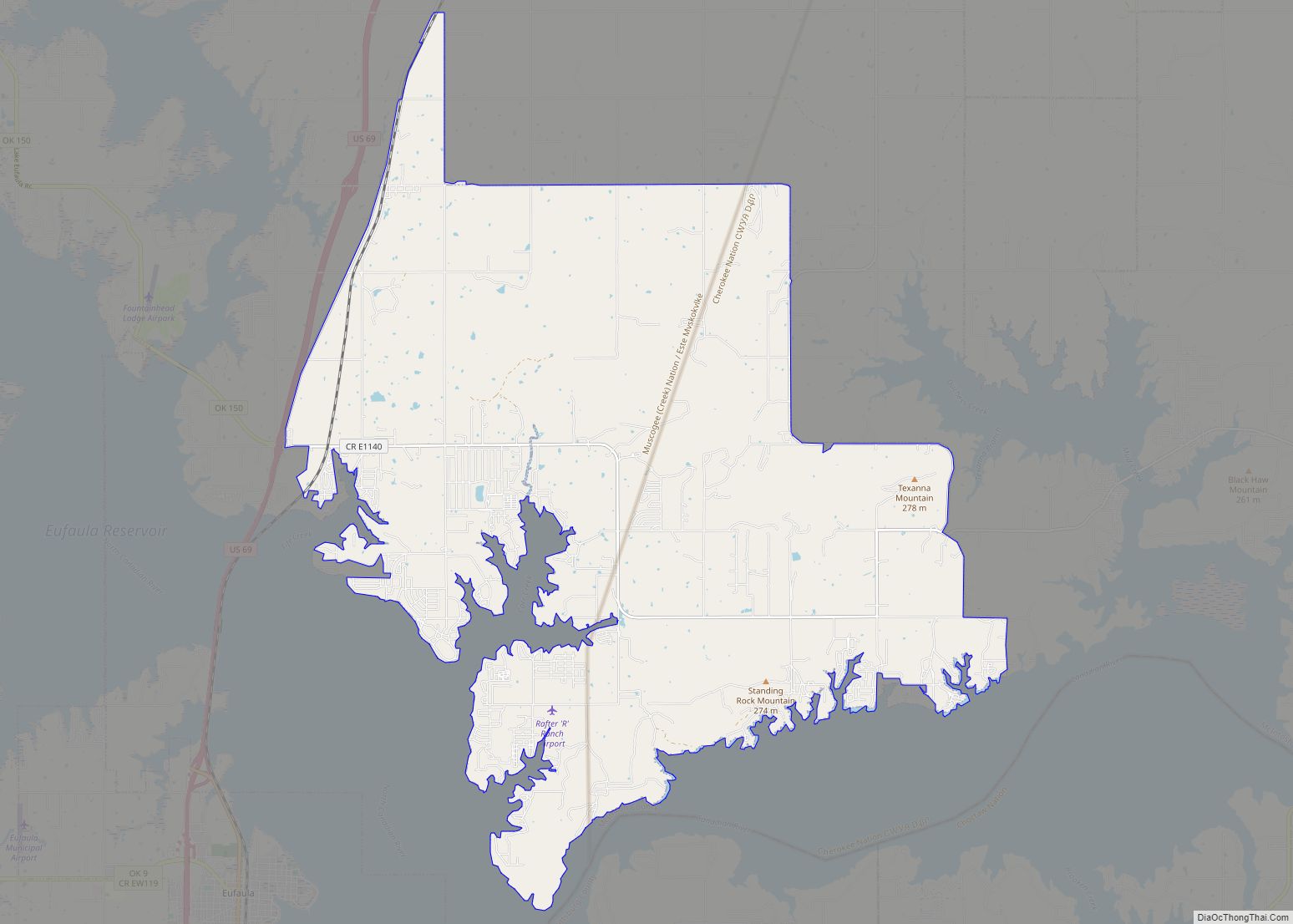
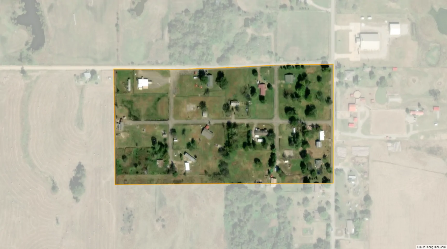
Stidham city Satellite Map
Geography
Stidham is located at 35°22′8″N 95°42′3″W / 35.36889°N 95.70083°W / 35.36889; -95.70083 (35.368905, -95.700720).
According to the United States Census Bureau, the town has a total area of 0.04 square miles (0.10 km), all land.
See also
Map of Oklahoma State and its subdivision:- Adair
- Alfalfa
- Atoka
- Beaver
- Beckham
- Blaine
- Bryan
- Caddo
- Canadian
- Carter
- Cherokee
- Choctaw
- Cimarron
- Cleveland
- Coal
- Comanche
- Cotton
- Craig
- Creek
- Custer
- Delaware
- Dewey
- Ellis
- Garfield
- Garvin
- Grady
- Grant
- Greer
- Harmon
- Harper
- Haskell
- Hughes
- Jackson
- Jefferson
- Johnston
- Kay
- Kingfisher
- Kiowa
- Latimer
- Le Flore
- Lincoln
- Logan
- Love
- Major
- Marshall
- Mayes
- McClain
- McCurtain
- McIntosh
- Murray
- Muskogee
- Noble
- Nowata
- Okfuskee
- Oklahoma
- Okmulgee
- Osage
- Ottawa
- Pawnee
- Payne
- Pittsburg
- Pontotoc
- Pottawatomie
- Pushmataha
- Roger Mills
- Rogers
- Seminole
- Sequoyah
- Stephens
- Texas
- Tillman
- Tulsa
- Wagoner
- Washington
- Washita
- Woods
- Woodward
- Alabama
- Alaska
- Arizona
- Arkansas
- California
- Colorado
- Connecticut
- Delaware
- District of Columbia
- Florida
- Georgia
- Hawaii
- Idaho
- Illinois
- Indiana
- Iowa
- Kansas
- Kentucky
- Louisiana
- Maine
- Maryland
- Massachusetts
- Michigan
- Minnesota
- Mississippi
- Missouri
- Montana
- Nebraska
- Nevada
- New Hampshire
- New Jersey
- New Mexico
- New York
- North Carolina
- North Dakota
- Ohio
- Oklahoma
- Oregon
- Pennsylvania
- Rhode Island
- South Carolina
- South Dakota
- Tennessee
- Texas
- Utah
- Vermont
- Virginia
- Washington
- West Virginia
- Wisconsin
- Wyoming