Stroud is a city in Creek and Lincoln counties in the U.S. state of Oklahoma. As of the 2010 census, the city population was 2,690.
| Name: | Stroud city |
|---|---|
| LSAD Code: | 25 |
| LSAD Description: | city (suffix) |
| State: | Oklahoma |
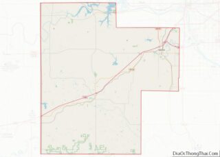
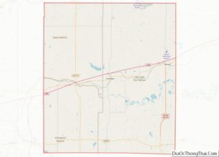
| County: | Creek County, Lincoln County |
| Elevation: | 890 ft (270 m) |
| Total Area: | 12.70 sq mi (32.90 km²) |
| Land Area: | 11.63 sq mi (30.12 km²) |
| Water Area: | 1.07 sq mi (2.78 km²) |
| Total Population: | 2,719 |
| Population Density: | 233.81/sq mi (90.28/km²) |
| ZIP code: | 74079 |
| Area code: | 539/918 |
| FIPS code: | 4071000 |
| GNISfeature ID: | 1098587 |
| Website: | cityofstroud.com |
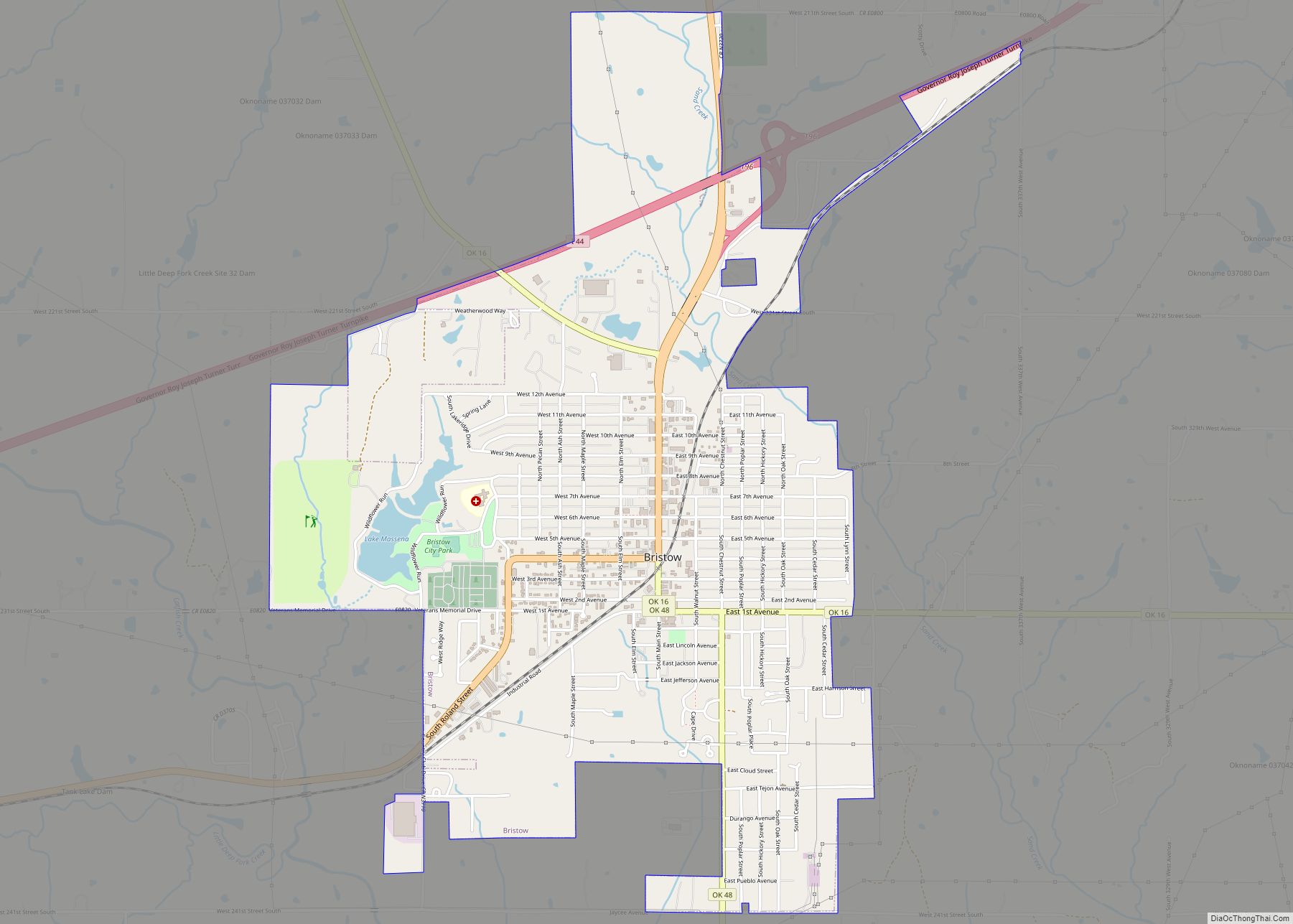
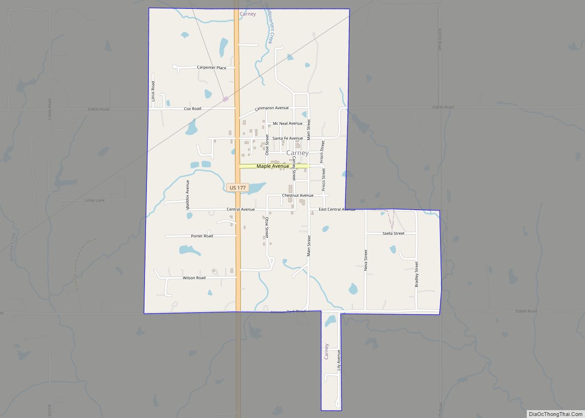
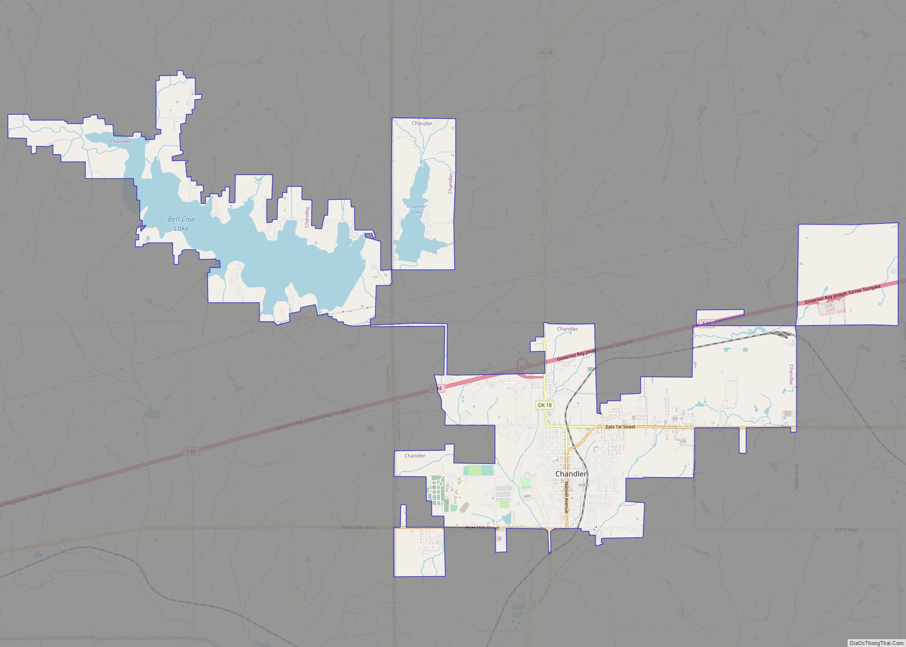
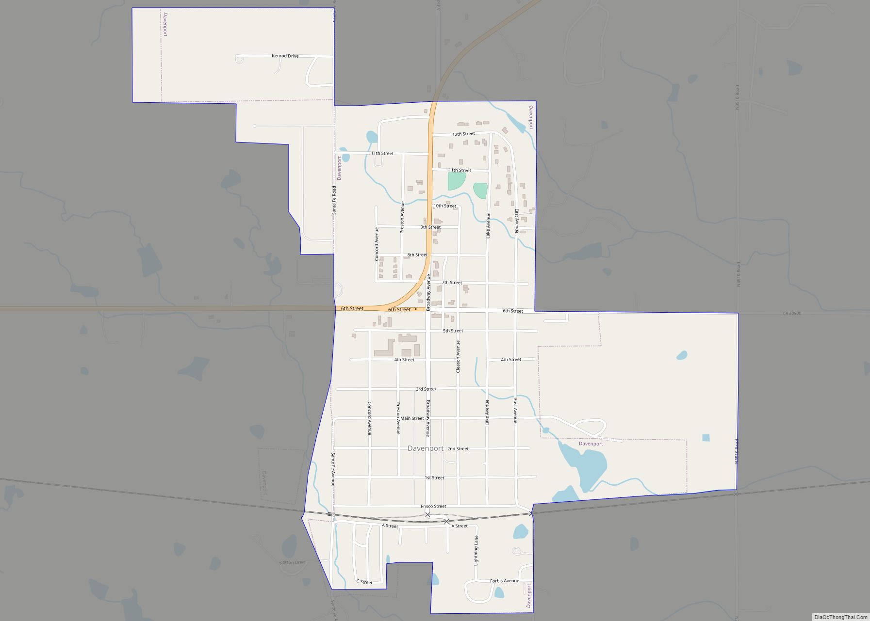
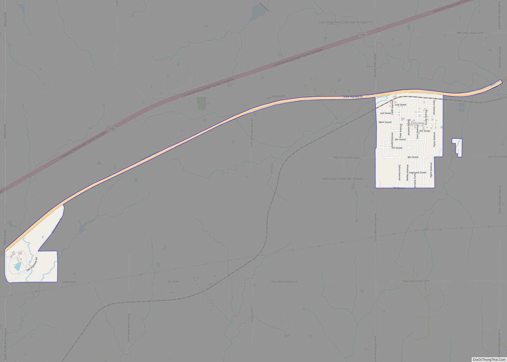
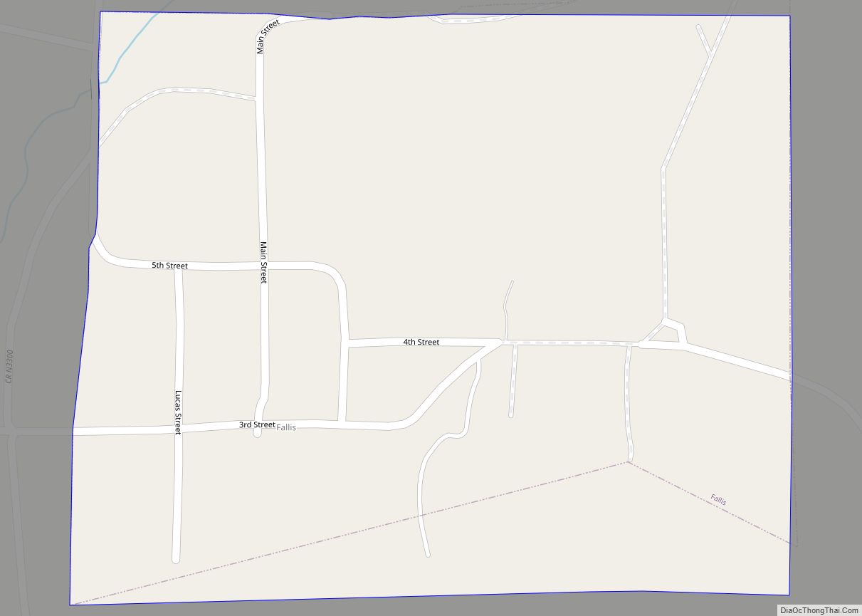
Online Interactive Map
Click on ![]() to view map in "full screen" mode.
to view map in "full screen" mode.
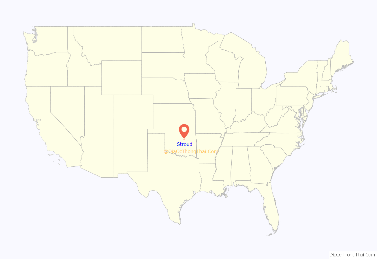
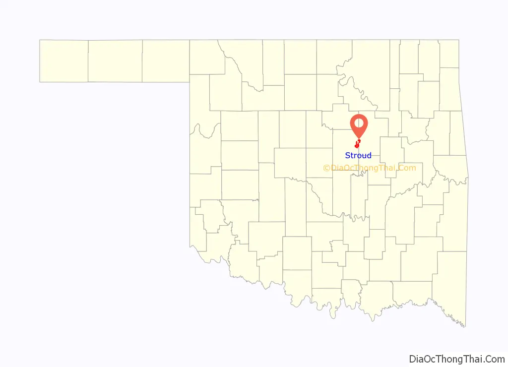
Stroud location map. Where is Stroud city?
History
Stroud was founded in 1892 and named for James W. Stroud, a developer. Early in its history, Stroud lay in Oklahoma Territory, where alcoholic drinks could be sold legally. Towns close to the boundary between Oklahoma Territory and Indian Territory were known as “whiskey towns,” and had a reputation as a “wild” town due to its many saloons and other businesses catering to thirsty cowboys and travelers arriving from “dry” Indian Territory. These days were short-lived, however, because Oklahoma statehood in 1907, forced Stroud to become “dry” as well.
In 1901, after a race riot, Stroud became a sundown town, with a prominent sign warning African Americans not to stay overnight.
During the first decade of the 20th century, Stroud’s economy was based on cotton farming in the surrounding countryside. The population at statehood was 1,312. By 1909, Stroud had two banks, two newspapers, four cotton gins, and a cottonseed-oil mill, but the 1910 census showed population declined to 1,220.
On March 27, 1915 Stroud became the victim of a legendary outlaw: “Henry Starr, along with six other men, decided to rob two banks at the same time… The [Stroud] robbery would prove… disastrous for Henry Starr. Proceeding to rob the Stroud National Bank and the First National Bank, word of the holdup spread quickly and the citizens took up arms against the bandits. Henry and another outlaw named Lewis Estes were wounded and captured in the gun battle. The rest of the gang escaped with $5815…”. Henry was sentenced to prison at the Oklahoma State Penitentiary, but was paroled after serving only four years.
The town became quiet until about 1926 when U.S. Route 66 was built. When construction of the highway was completed, Stroud became a rest stop with amenities such as motels, gas stations and restaurants. The Rock Café, built during the Great Depression using local sandstone removed during the construction of Route 66, operated 24 hours a day during its 1950s heyday. Business diminished after the Turner Turnpike diverted cross-country traffic from the town’s main street.
Stroud was devastated by the 1999 Oklahoma tornado outbreak, which destroyed the town’s 53-store Tanger Outlet Center, as well as a distribution center owned by foodservice company Sygma. Neither of these facilities were rebuilt; the resulting loss of 800 jobs caused a significant amount of economic distress to the town.
In 2001, Pixar crews visited to research US 66 for the animated film Cars, at a time when the town economy was still attempting to recover from the 1999 tornado, and the Rock Café was undergoing historic restoration. The character of Radiator Springs hotelier Sally Carrera is heavily based on Rock Café proprietor Dawn Welch and her efforts to promote and rebuild the town. A fire gutted the restaurant on May 20, 2008 but the grill and the original stone walls survived. The Rock Café was rebuilt by historic preservationist David Burke; Dawn Welch reopened the business on May 29, 2009.
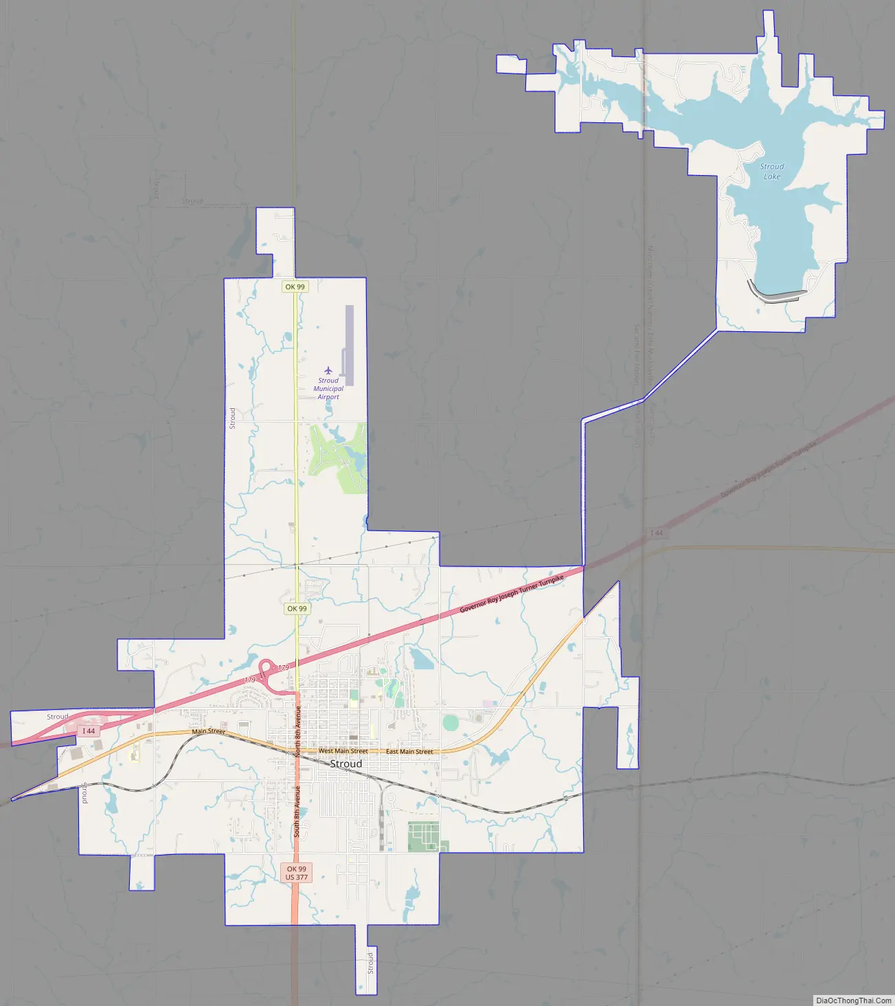
Stroud Road Map
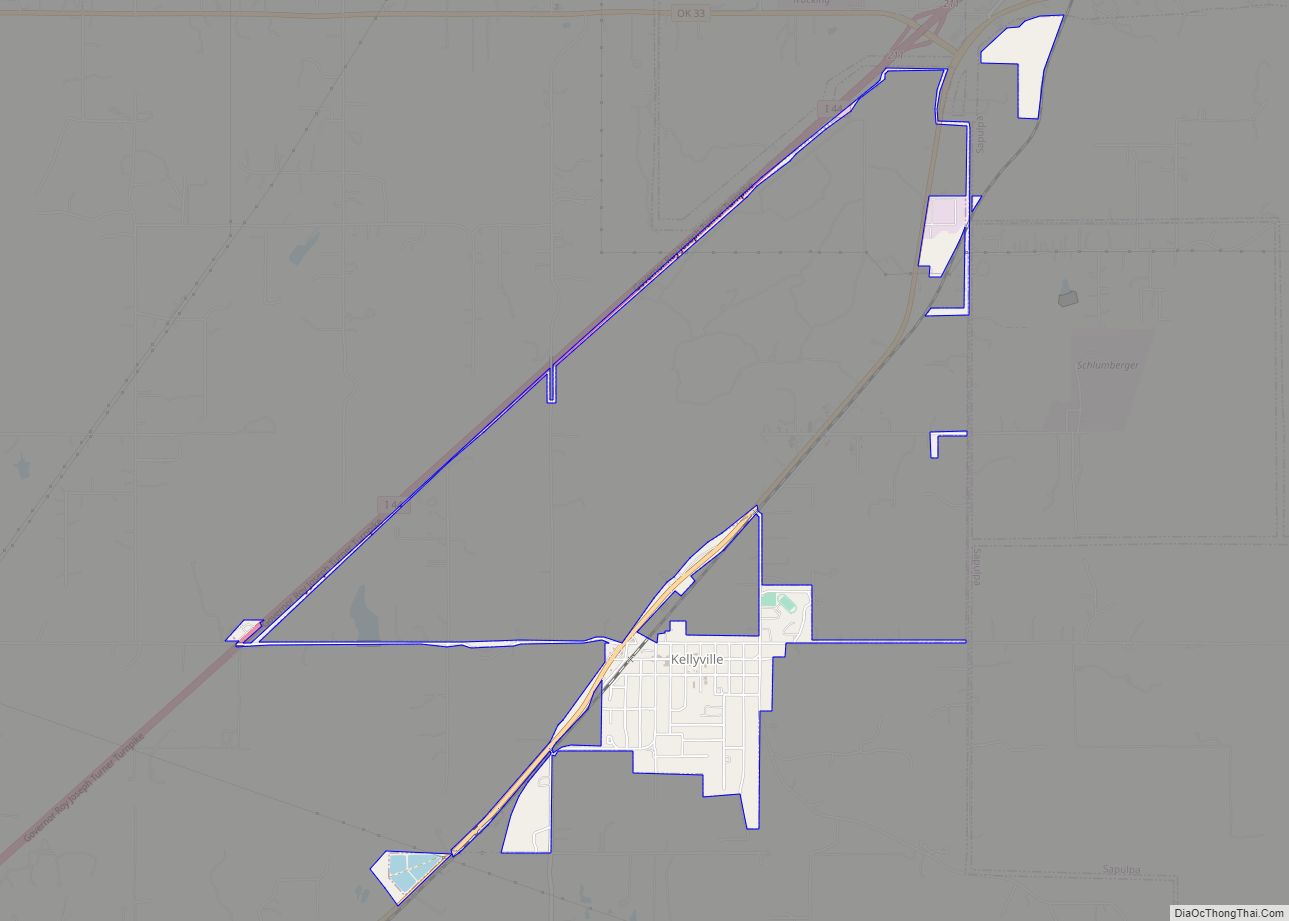
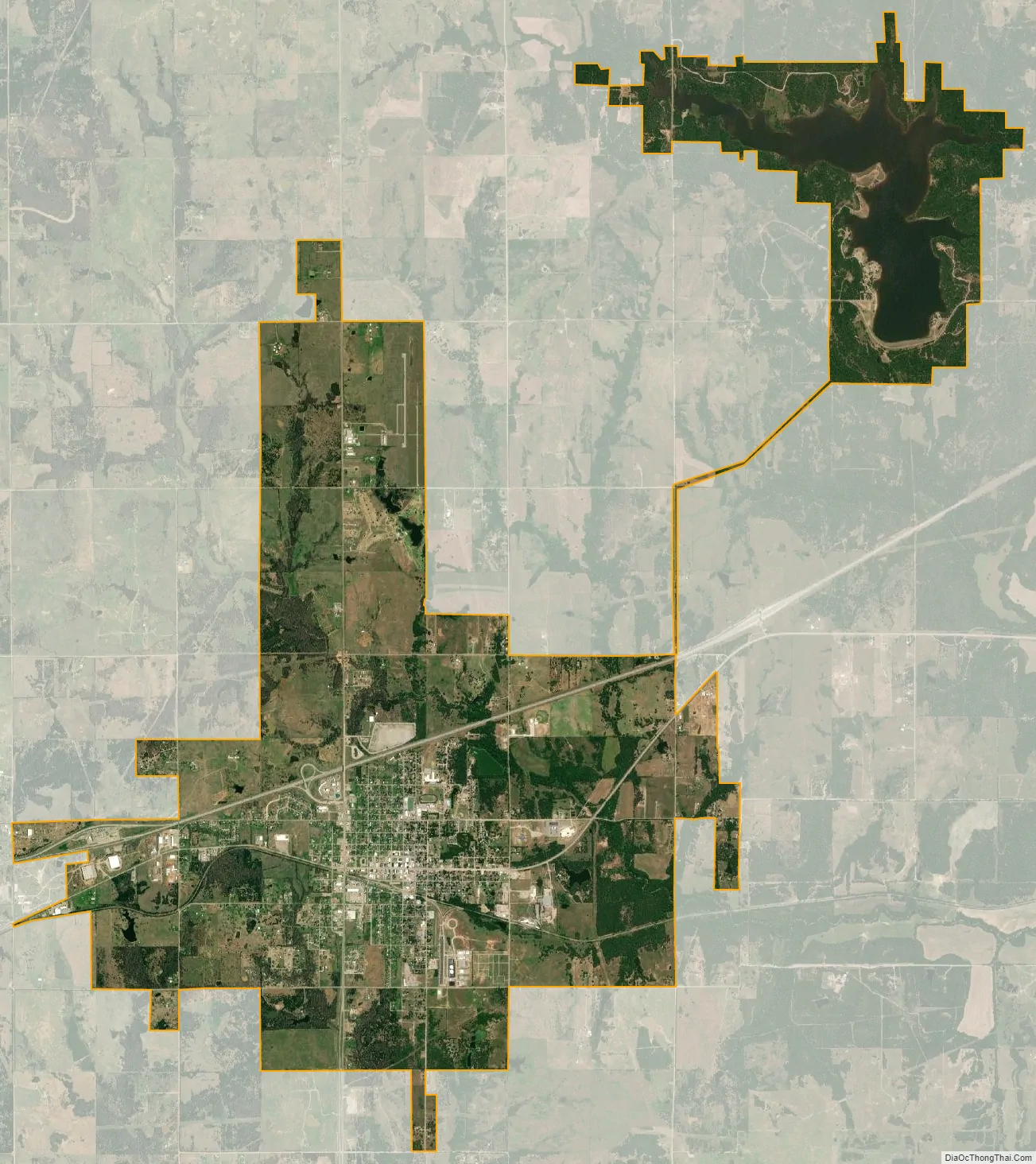
Stroud city Satellite Map
Geography
Stroud is located at 35°45′33″N 96°39′8″W / 35.75917°N 96.65222°W / 35.75917; -96.65222 (35.759098, -96.652162).
Stroud Lake, located approximately 3 miles (4.8 km) northeast of the city, offers recreational opportunities and is also the location of the Wilderness Challenge Center of the Oklahoma Foundation for the Disabled. According to the United States Census Bureau, the city has a total area of 12.5 square miles (32.3 km), of which 11.5 square miles (29.8 km) is land and 1.0 square mile (2.6 km) (7.93%) is water.
See also
Map of Oklahoma State and its subdivision:- Adair
- Alfalfa
- Atoka
- Beaver
- Beckham
- Blaine
- Bryan
- Caddo
- Canadian
- Carter
- Cherokee
- Choctaw
- Cimarron
- Cleveland
- Coal
- Comanche
- Cotton
- Craig
- Creek
- Custer
- Delaware
- Dewey
- Ellis
- Garfield
- Garvin
- Grady
- Grant
- Greer
- Harmon
- Harper
- Haskell
- Hughes
- Jackson
- Jefferson
- Johnston
- Kay
- Kingfisher
- Kiowa
- Latimer
- Le Flore
- Lincoln
- Logan
- Love
- Major
- Marshall
- Mayes
- McClain
- McCurtain
- McIntosh
- Murray
- Muskogee
- Noble
- Nowata
- Okfuskee
- Oklahoma
- Okmulgee
- Osage
- Ottawa
- Pawnee
- Payne
- Pittsburg
- Pontotoc
- Pottawatomie
- Pushmataha
- Roger Mills
- Rogers
- Seminole
- Sequoyah
- Stephens
- Texas
- Tillman
- Tulsa
- Wagoner
- Washington
- Washita
- Woods
- Woodward
- Alabama
- Alaska
- Arizona
- Arkansas
- California
- Colorado
- Connecticut
- Delaware
- District of Columbia
- Florida
- Georgia
- Hawaii
- Idaho
- Illinois
- Indiana
- Iowa
- Kansas
- Kentucky
- Louisiana
- Maine
- Maryland
- Massachusetts
- Michigan
- Minnesota
- Mississippi
- Missouri
- Montana
- Nebraska
- Nevada
- New Hampshire
- New Jersey
- New Mexico
- New York
- North Carolina
- North Dakota
- Ohio
- Oklahoma
- Oregon
- Pennsylvania
- Rhode Island
- South Carolina
- South Dakota
- Tennessee
- Texas
- Utah
- Vermont
- Virginia
- Washington
- West Virginia
- Wisconsin
- Wyoming