Tatums is a historic Freedmen’s town in Carter County, Oklahoma, United States. The population was 151 at the 2010 census, a decline of 12.2 percent from the figure of 172 in 2000. It is part of the Ardmore, Oklahoma Micropolitan Statistical Area.
| Name: | Tatums town |
|---|---|
| LSAD Code: | 43 |
| LSAD Description: | town (suffix) |
| State: | Oklahoma |
| County: | Carter County |
| Elevation: | 981 ft (299 m) |
| Total Area: | 2.01 sq mi (5.20 km²) |
| Land Area: | 2.00 sq mi (5.19 km²) |
| Water Area: | 0.00 sq mi (0.01 km²) |
| Total Population: | 111 |
| Population Density: | 55.44/sq mi (21.40/km²) |
| ZIP code: | 73487 |
| Area code: | 580 |
| FIPS code: | 4072500 |
| GNISfeature ID: | 1098763 |
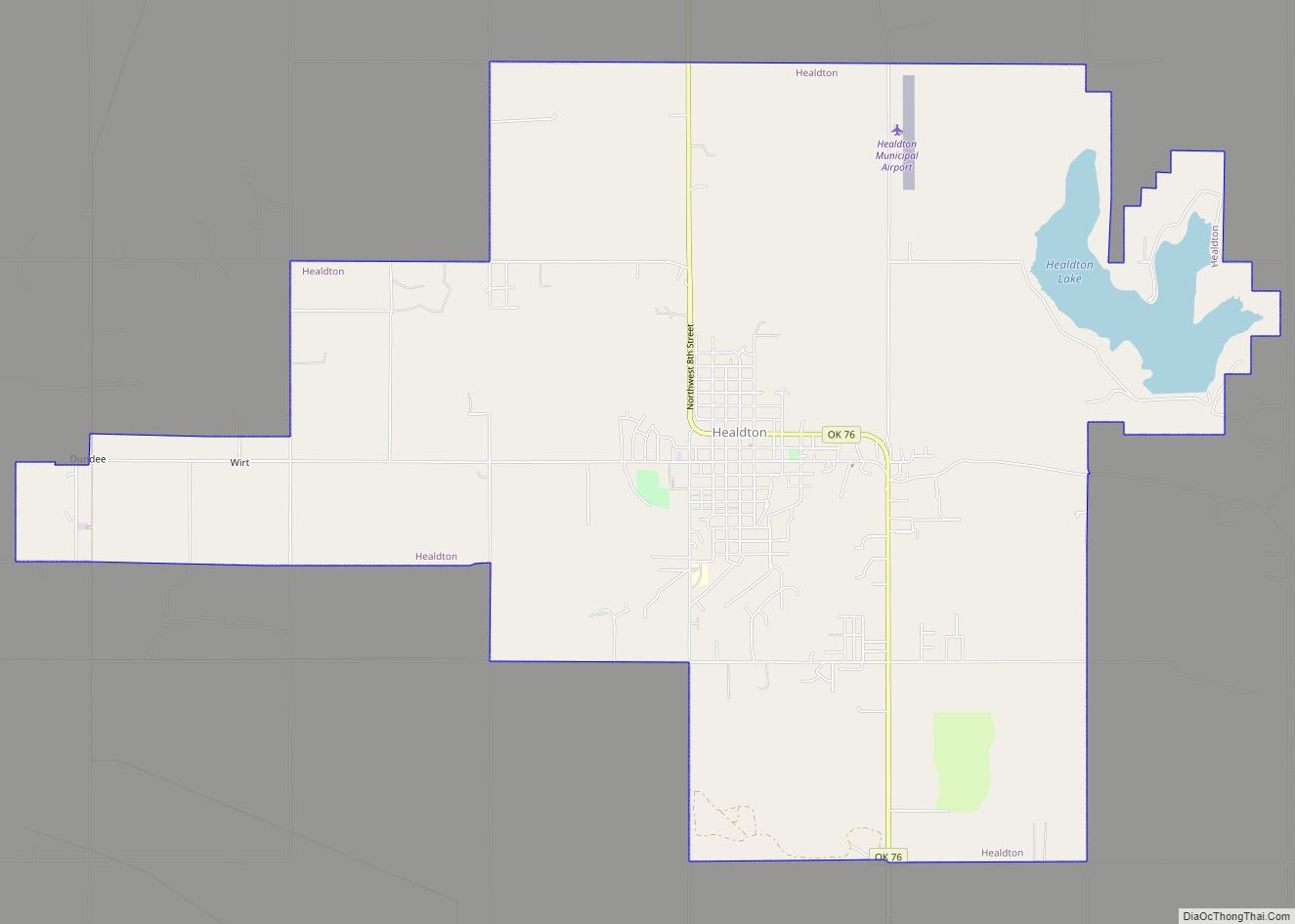
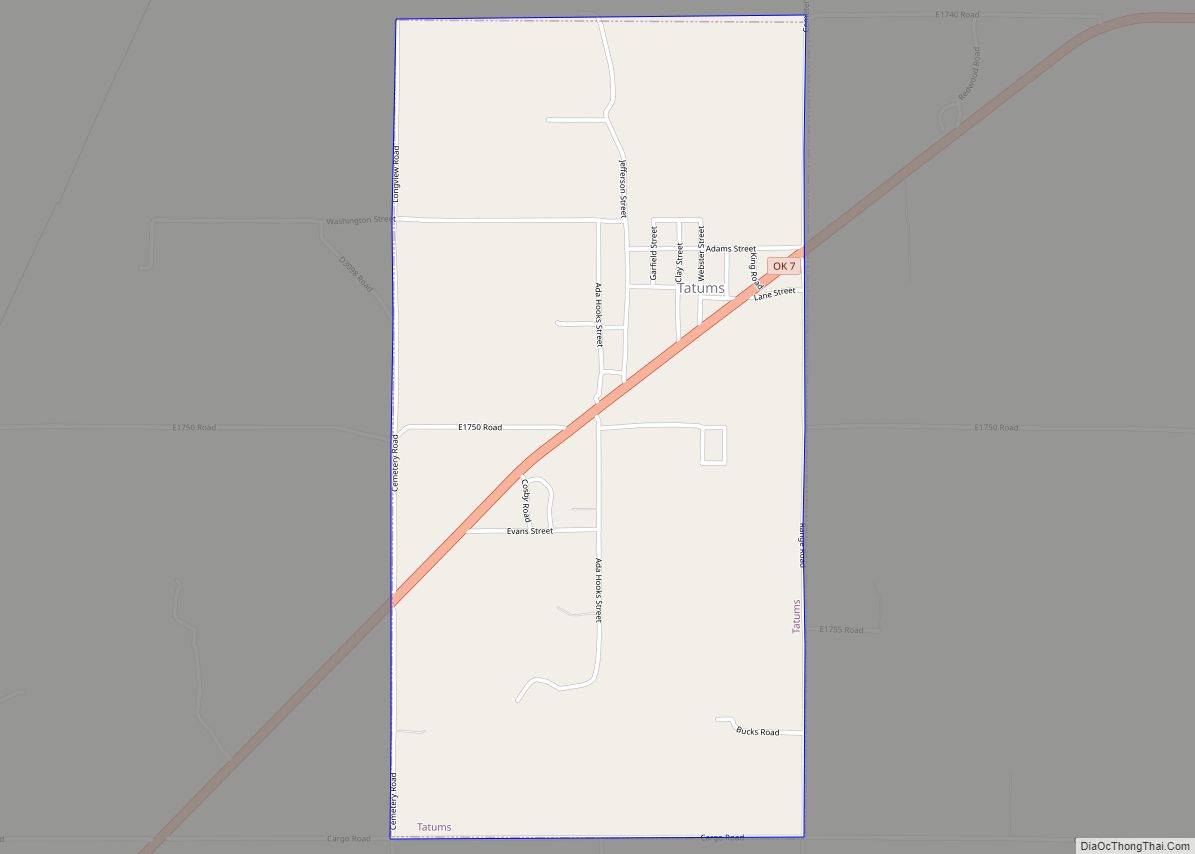
Online Interactive Map
Click on ![]() to view map in "full screen" mode.
to view map in "full screen" mode.
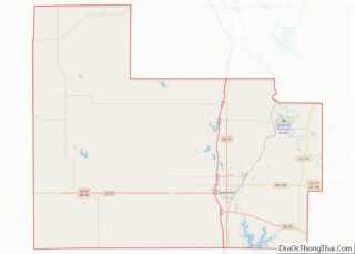
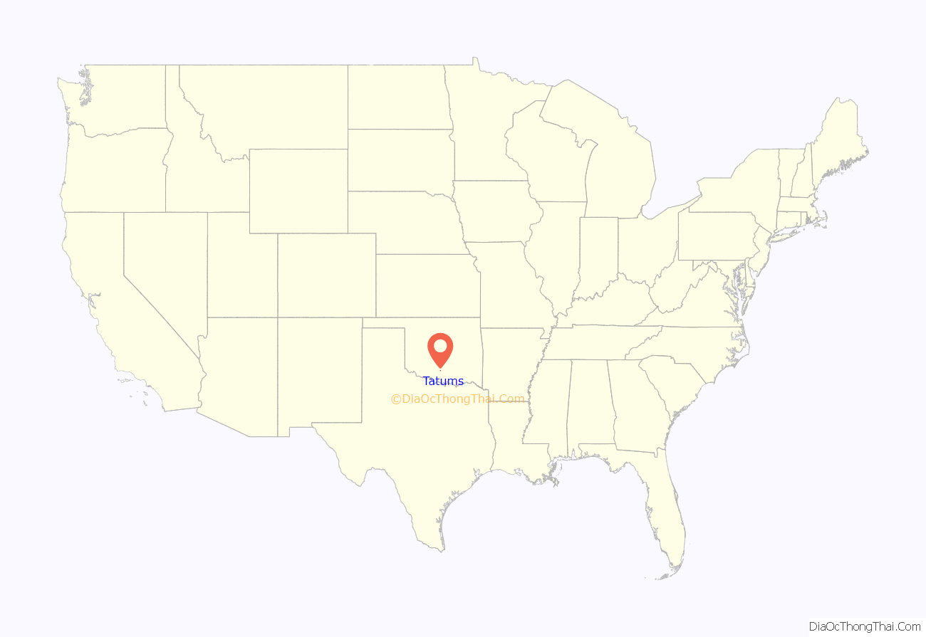
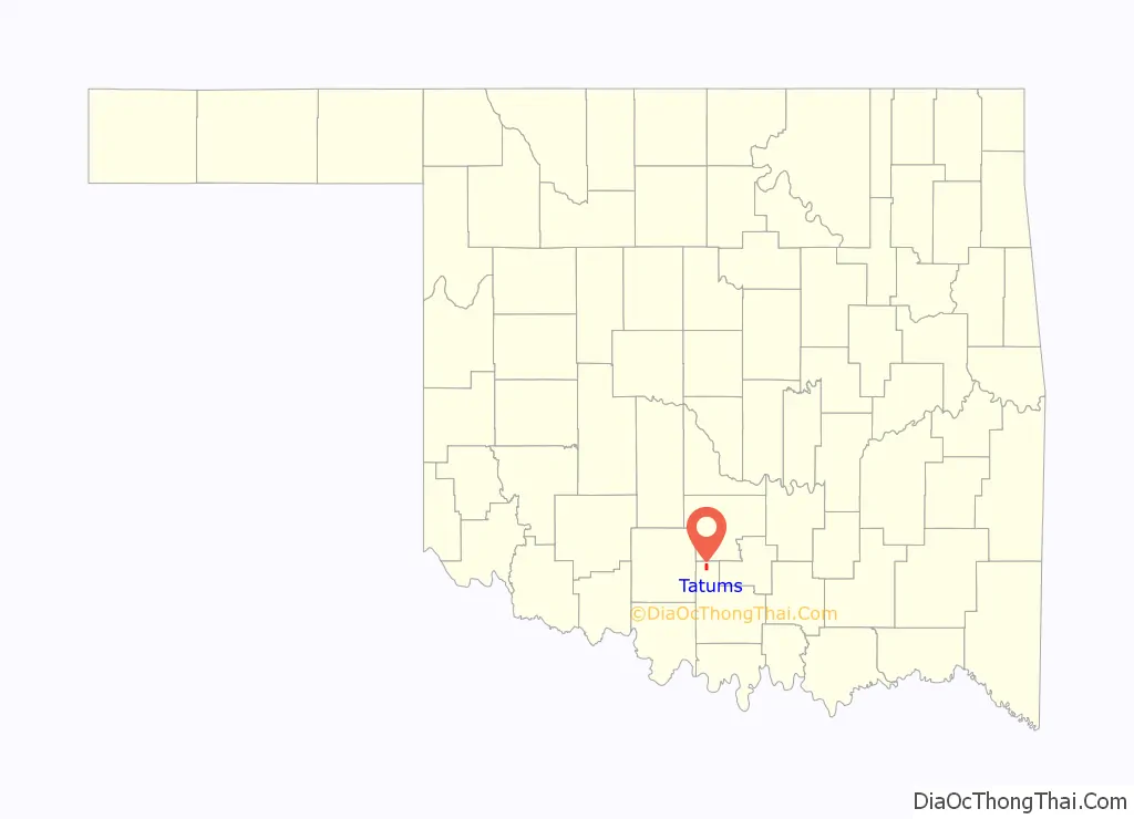
Tatums location map. Where is Tatums town?
History
According to the Encyclopedia of Oklahoma History and Culture, Tatums was founded in Indian Territory in 1895 by Lee and Mary Tatum, though Oklahoma Place Names states that the town was not incorporated until May 9, 1896, And a hotel was built in 1899, a blacksmith shop in 1900,a cotton gin and sawmill in 1910, and a motor garage in 1918.Oil wells were drilled in the area in the 1920s,bringing wealth to several of Tatums’s farmers and landowners.
At the time of its founding, Tatums was located in Pickens County, Chickasaw Nation.
The town was one of more than fifty all-black towns founded in Oklahoma, and is one of thirteen still in existence. Lee Tatum was the first postmaster, ran a grocery store, and was a U.S. Marshal. Travelers who came through Tatums could stay at the home of Henry Taylor, who owned the largest home in town. Over the next few decades, other businesses were added to the town, including a church, school, hotel, blacksmith shop, a cotton gin and sawmill, and a motor garage. In the 1920s, oil wells were drilled around Tatums, and several residents richly profited from them.
A brick school funded by the Rosenwald Fund was completed in 1926. In 1927, Norman Studios filmed a silent movie, Black Gold, in Tatums. Marshal L. B. Tatums played a role in the film. No copy of the film is known to exist, but the script and camera are held by the Autry National Center in California.
The Great Depression greatly damaged Tatums’ economy, so many residents migrated to urban areas. Amid the Depression, the Works Progress Administration built a new brick school in 1936.
The Bethel Missionary Baptist Church, completed in 1919, is an historic Baptist church in Tatums, and is included on the NRHP listings for Carter County.
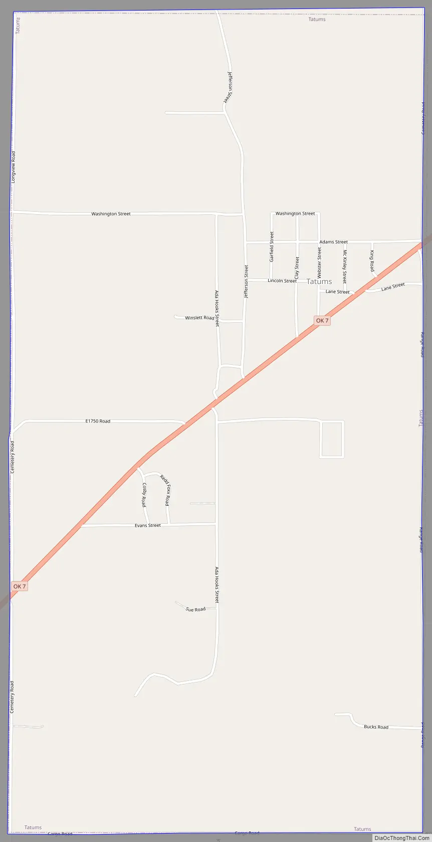
Tatums Road Map
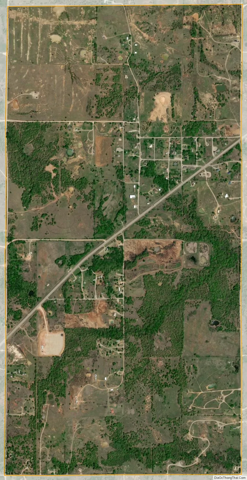
Tatums city Satellite Map
Geography
Tatums is located at 34°28′55″N 97°27′52″W / 34.481919°N 97.464470°W / 34.481919; -97.464470.
According to the United States Census Bureau, the town has a total area of 2.0 square miles (5.2 km), all land.
See also
Map of Oklahoma State and its subdivision:- Adair
- Alfalfa
- Atoka
- Beaver
- Beckham
- Blaine
- Bryan
- Caddo
- Canadian
- Carter
- Cherokee
- Choctaw
- Cimarron
- Cleveland
- Coal
- Comanche
- Cotton
- Craig
- Creek
- Custer
- Delaware
- Dewey
- Ellis
- Garfield
- Garvin
- Grady
- Grant
- Greer
- Harmon
- Harper
- Haskell
- Hughes
- Jackson
- Jefferson
- Johnston
- Kay
- Kingfisher
- Kiowa
- Latimer
- Le Flore
- Lincoln
- Logan
- Love
- Major
- Marshall
- Mayes
- McClain
- McCurtain
- McIntosh
- Murray
- Muskogee
- Noble
- Nowata
- Okfuskee
- Oklahoma
- Okmulgee
- Osage
- Ottawa
- Pawnee
- Payne
- Pittsburg
- Pontotoc
- Pottawatomie
- Pushmataha
- Roger Mills
- Rogers
- Seminole
- Sequoyah
- Stephens
- Texas
- Tillman
- Tulsa
- Wagoner
- Washington
- Washita
- Woods
- Woodward
- Alabama
- Alaska
- Arizona
- Arkansas
- California
- Colorado
- Connecticut
- Delaware
- District of Columbia
- Florida
- Georgia
- Hawaii
- Idaho
- Illinois
- Indiana
- Iowa
- Kansas
- Kentucky
- Louisiana
- Maine
- Maryland
- Massachusetts
- Michigan
- Minnesota
- Mississippi
- Missouri
- Montana
- Nebraska
- Nevada
- New Hampshire
- New Jersey
- New Mexico
- New York
- North Carolina
- North Dakota
- Ohio
- Oklahoma
- Oregon
- Pennsylvania
- Rhode Island
- South Carolina
- South Dakota
- Tennessee
- Texas
- Utah
- Vermont
- Virginia
- Washington
- West Virginia
- Wisconsin
- Wyoming