Turpin is a small unincorporated community and census-designated place in Beaver County, Oklahoma, United States. The post office was established April 8, 1925. As of the 2010 census, the community had a population of 467.
| Name: | Turpin CDP |
|---|---|
| LSAD Code: | 57 |
| LSAD Description: | CDP (suffix) |
| State: | Oklahoma |
| County: | Beaver County |
| Elevation: | 2,750 ft (840 m) |
| Total Area: | 1.00 sq mi (2.59 km²) |
| Land Area: | 1.00 sq mi (2.59 km²) |
| Water Area: | 0.00 sq mi (0.00 km²) |
| Total Population: | 442 |
| Population Density: | 442.44/sq mi (170.77/km²) |
| ZIP code: | 73950 |
| FIPS code: | 4075200 |
| GNISfeature ID: | 1099076 |
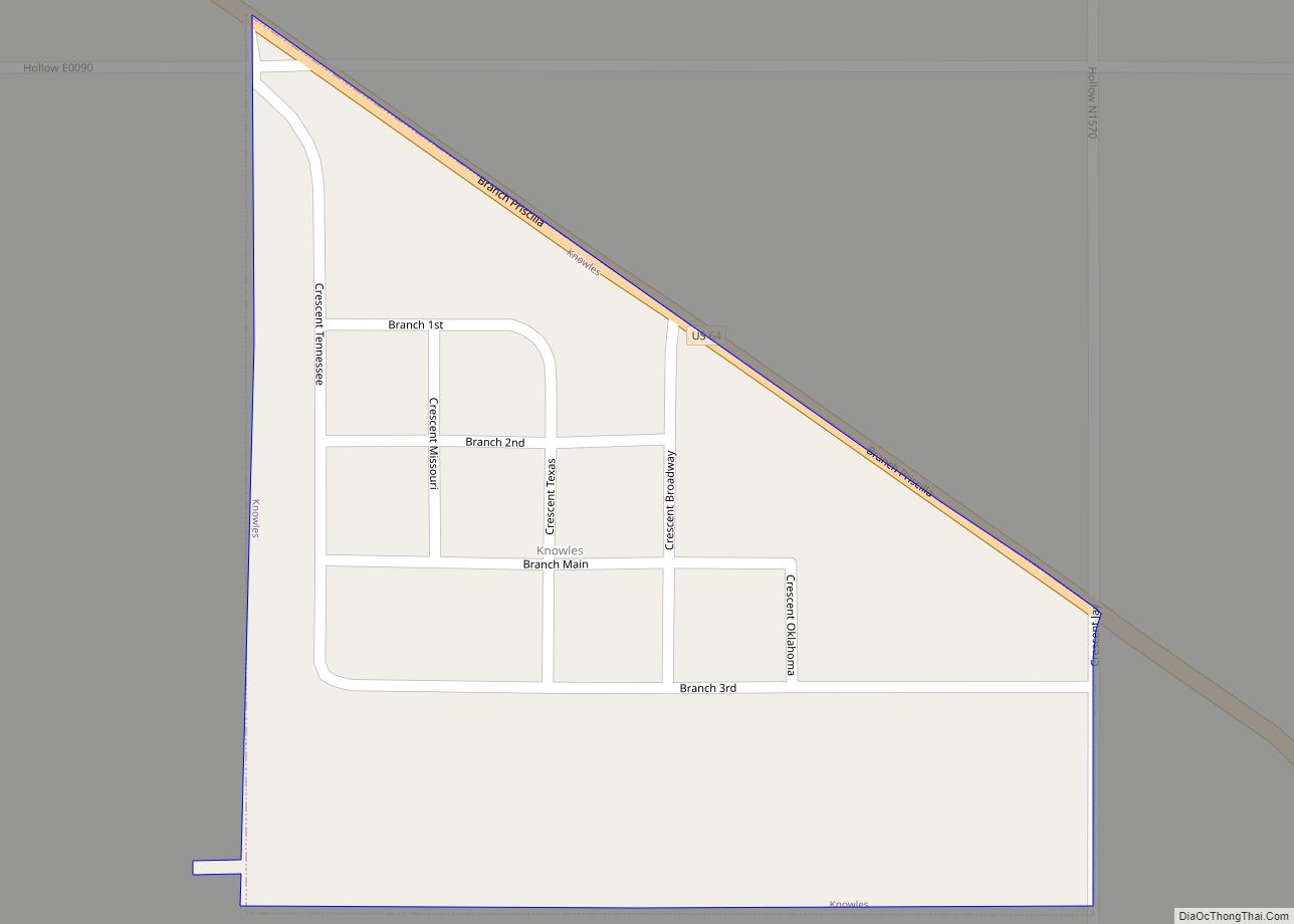
Online Interactive Map
Click on ![]() to view map in "full screen" mode.
to view map in "full screen" mode.
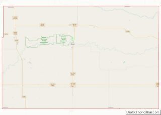
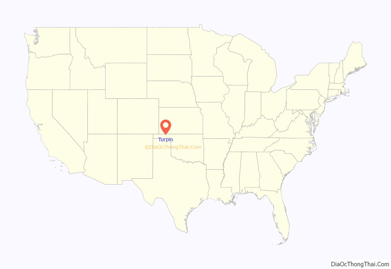
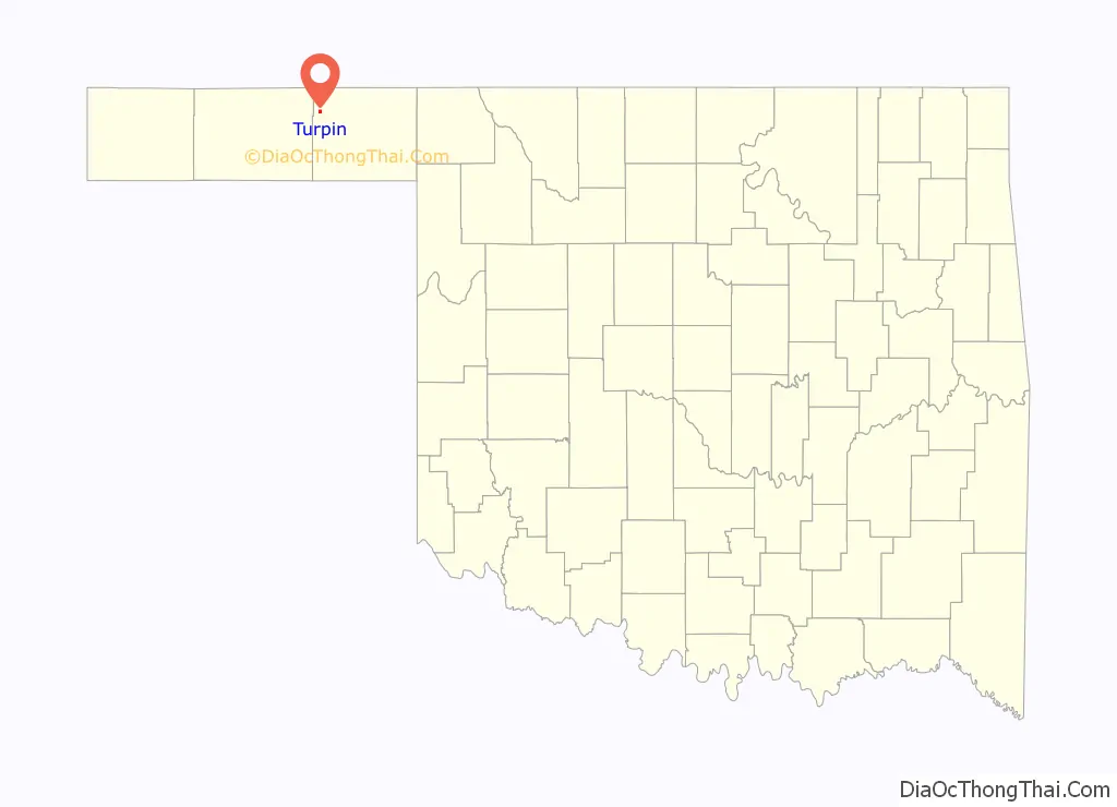
Turpin location map. Where is Turpin CDP?
History
Turpin was named for Carl Julian Turpin, a son of Thomas James Turpin and Elmanda (Kennerly) Turpin. Carl was born on 10 Aug 1871 in Quantico, Wicomico County, Maryland. He died 20 Nov 1942 in Oklahoma City.
Carl J. Turpin was the general manager of the Beaver, Meade and Englewood Railroad (BM&E). In 1918, two farmers from Hardtner, Kansas, Jacob Achenbach and Ira B. Blackstock, requested his assistance. Messrs. Achenbach and Blackstock had been asked by farmers in Beaver County and the surrounding areas to build a railroad through the Panhandle so that their wheat crops could be shipped to outlying markets. Achenbach and Blackstock knew how to build the railroad, but they needed someone to manage it. That is where Carl Julian Turpin came in. Turpin had ample experience as a railroad man, his career beginning in 1888.
Described as a “by the book” type of general manager, Turpin was a stern, well-groomed man. He worked without salary, but did receive stock in the line, from 1918 until 1926. At its height, the BM&E ran from Beaver, Oklahoma through Turpin and Eva, Oklahoma and continuing to a connection with the Santa Fe Railroad in Keyes, Oklahoma. The line connected with the Katy at Forgan and the Rock Island at Hooker. The BM&E was eventually sold to Missouri-Kansas-Texas Railroad (M-K-T or Katy) in 1931.
“When I was a kid 20 years old, but married, I used to want to work for a railroad which paid $50 a month and furnished its agents a two-story house on the line, rent, brooms, and matches free. Maybe I still could find something like that,” Turpin said, after the sale of the BM&E. The railway was eventually abandoned in 1972.
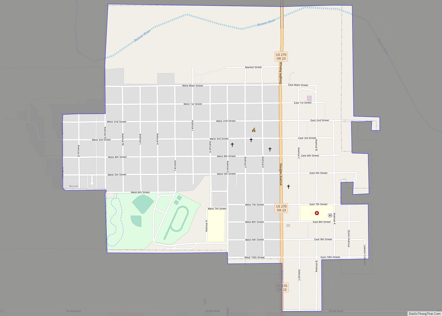
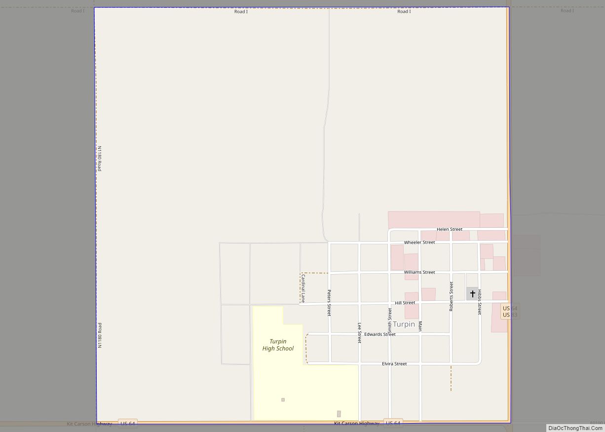
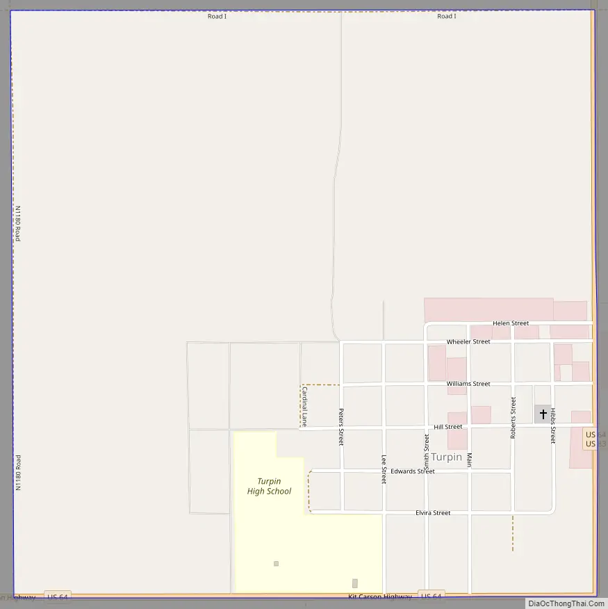
Turpin Road Map
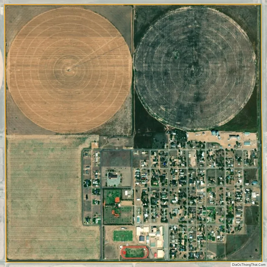
Turpin city Satellite Map
See also
Map of Oklahoma State and its subdivision:- Adair
- Alfalfa
- Atoka
- Beaver
- Beckham
- Blaine
- Bryan
- Caddo
- Canadian
- Carter
- Cherokee
- Choctaw
- Cimarron
- Cleveland
- Coal
- Comanche
- Cotton
- Craig
- Creek
- Custer
- Delaware
- Dewey
- Ellis
- Garfield
- Garvin
- Grady
- Grant
- Greer
- Harmon
- Harper
- Haskell
- Hughes
- Jackson
- Jefferson
- Johnston
- Kay
- Kingfisher
- Kiowa
- Latimer
- Le Flore
- Lincoln
- Logan
- Love
- Major
- Marshall
- Mayes
- McClain
- McCurtain
- McIntosh
- Murray
- Muskogee
- Noble
- Nowata
- Okfuskee
- Oklahoma
- Okmulgee
- Osage
- Ottawa
- Pawnee
- Payne
- Pittsburg
- Pontotoc
- Pottawatomie
- Pushmataha
- Roger Mills
- Rogers
- Seminole
- Sequoyah
- Stephens
- Texas
- Tillman
- Tulsa
- Wagoner
- Washington
- Washita
- Woods
- Woodward
- Alabama
- Alaska
- Arizona
- Arkansas
- California
- Colorado
- Connecticut
- Delaware
- District of Columbia
- Florida
- Georgia
- Hawaii
- Idaho
- Illinois
- Indiana
- Iowa
- Kansas
- Kentucky
- Louisiana
- Maine
- Maryland
- Massachusetts
- Michigan
- Minnesota
- Mississippi
- Missouri
- Montana
- Nebraska
- Nevada
- New Hampshire
- New Jersey
- New Mexico
- New York
- North Carolina
- North Dakota
- Ohio
- Oklahoma
- Oregon
- Pennsylvania
- Rhode Island
- South Carolina
- South Dakota
- Tennessee
- Texas
- Utah
- Vermont
- Virginia
- Washington
- West Virginia
- Wisconsin
- Wyoming