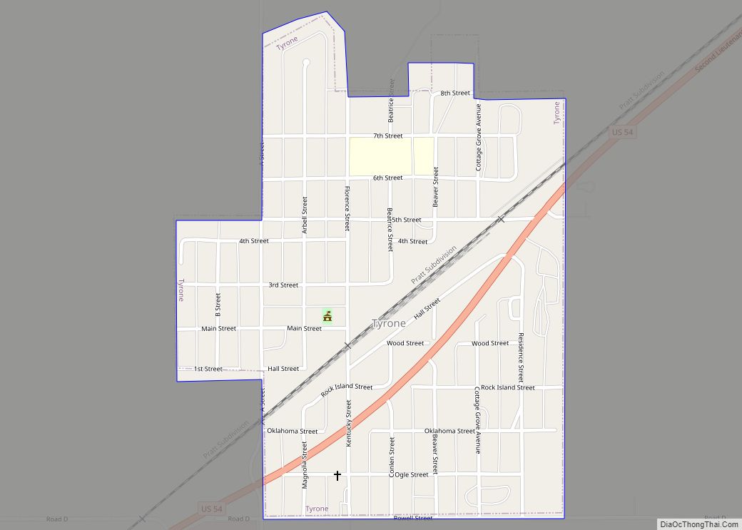
Tyrone is a town in northeastern Texas County, Oklahoma, United States. The population was 762 at the 2010 census.
| Name: | Tyrone town |
|---|---|
| LSAD Code: | 43 |
| LSAD Description: | town (suffix) |
| State: | Oklahoma |
| County: | Texas County |
| Elevation: | 2,920 ft (890 m) |
| Total Area: | 0.42 sq mi (1.09 km²) |
| Land Area: | 0.42 sq mi (1.09 km²) |
| Water Area: | 0.00 sq mi (0.00 km²) |
| Total Population: | 729 |
| Population Density: | 1,727.49/sq mi (666.58/km²) |
| ZIP code: | 73951 |
| Area code: | 580 |
| FIPS code: | 4075750 |
| GNISfeature ID: | 1099138 |
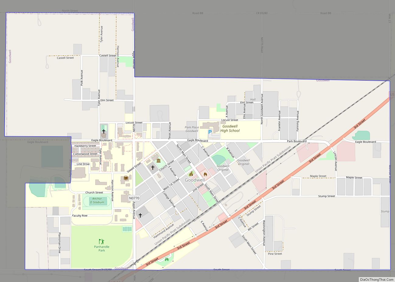
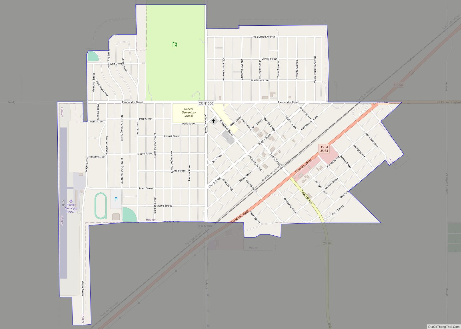
Online Interactive Map
Click on ![]() to view map in "full screen" mode.
to view map in "full screen" mode.
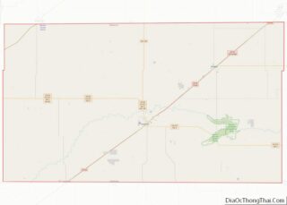
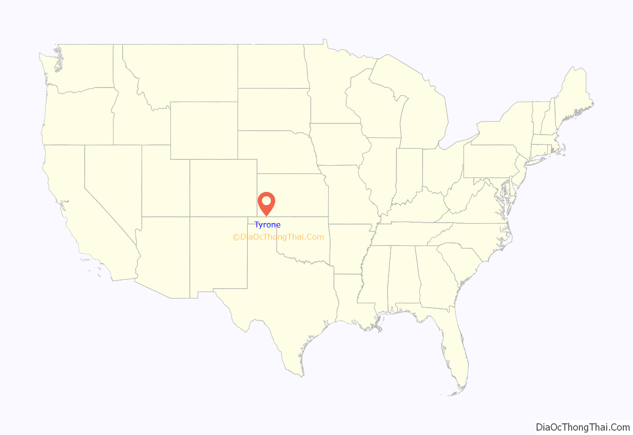
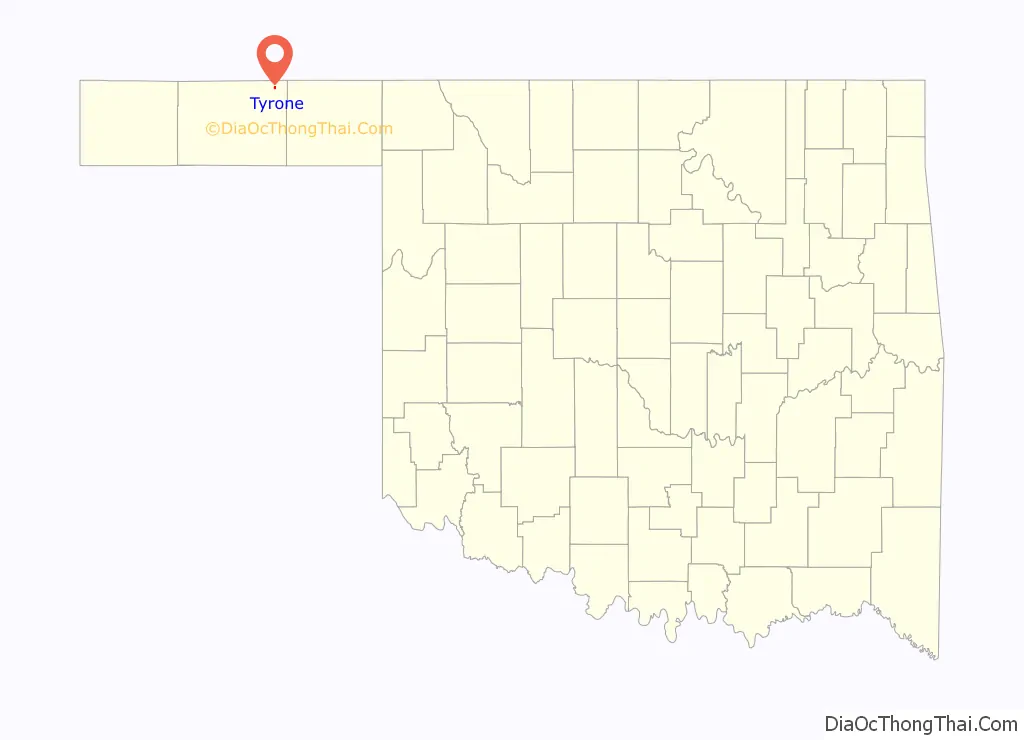
Tyrone location map. Where is Tyrone town?
History
The town was reportedly named by a railway vice president when the railroad passed through the area. It was named after Tyrone, Pennsylvania, where the V.P.’s mother lived. The towns on the railway in Texas County (see below) were 10 miles apart, either for the distance between railroad worker camps, or because of needs for water by locomotives at that distance apart. Nearby Shades Well (three miles northeast) was the trailhead for many cattle drives in the late 19th century. It was larger than Dodge City for a time, and still has mounds of broken glass from beer and whisky bottles consumed by drovers. The trailhead later moved again and it was abandoned.
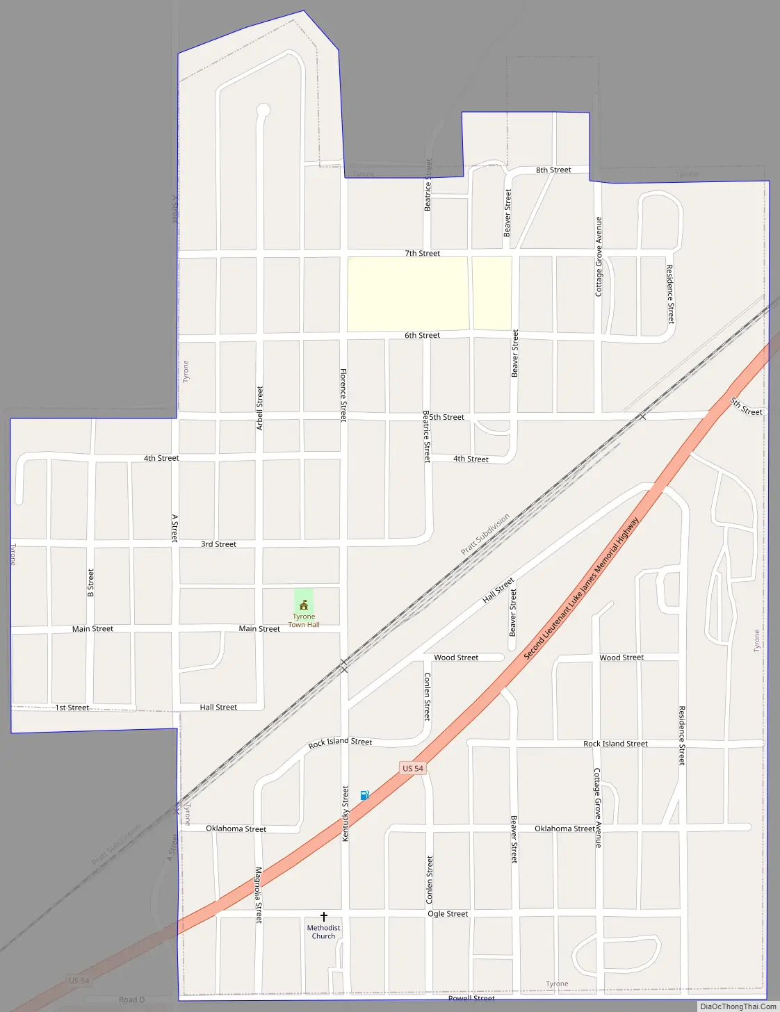
Tyrone Road Map
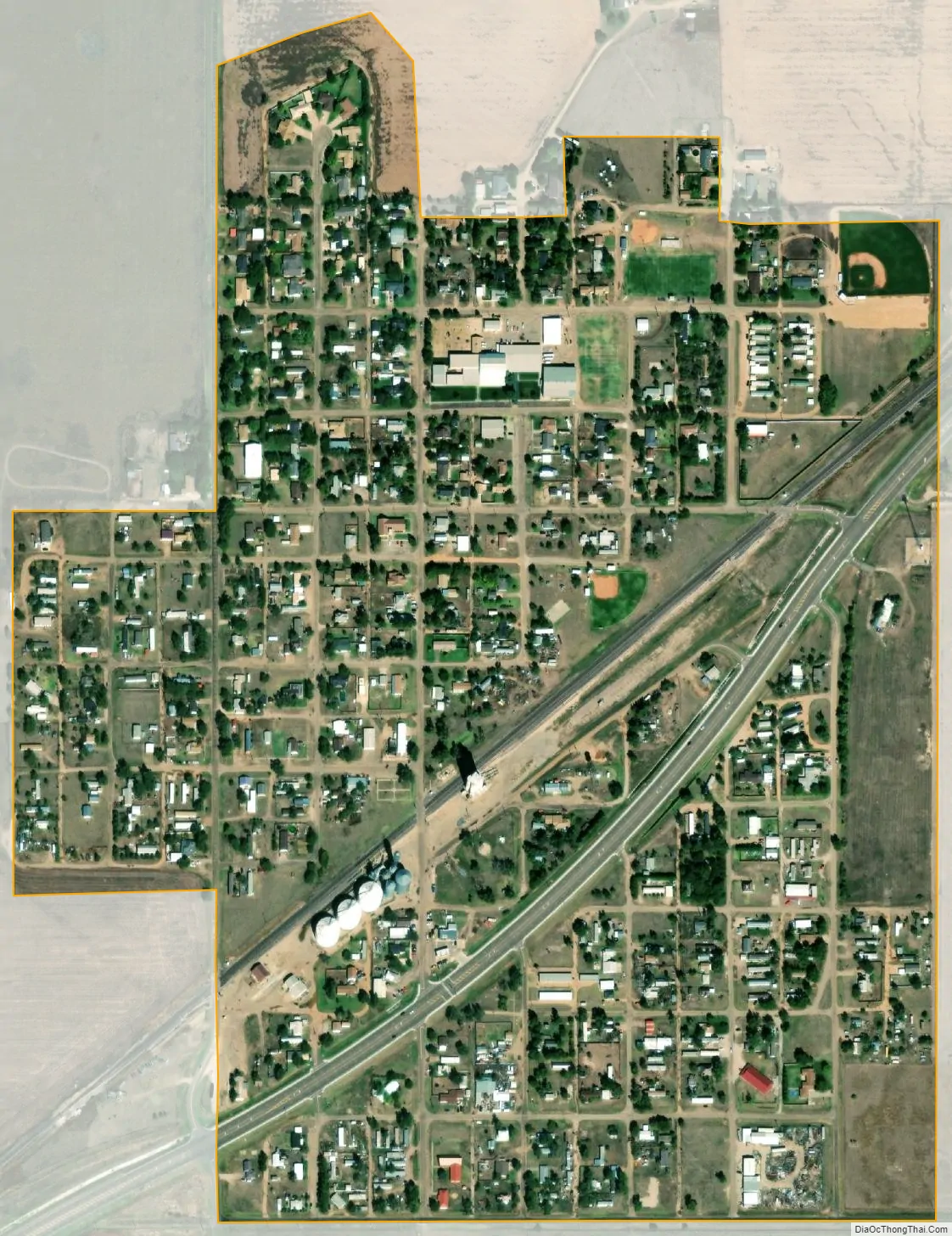
Tyrone city Satellite Map
Geography
Tyrone is located at 36°57′16″N 101°04′03″W / 36.954510°N 101.067419°W / 36.954510; -101.067419.
According to the United States Census Bureau, the town has a total area of 0.4 square miles (1.0 km), all land.
See also
Map of Oklahoma State and its subdivision:- Adair
- Alfalfa
- Atoka
- Beaver
- Beckham
- Blaine
- Bryan
- Caddo
- Canadian
- Carter
- Cherokee
- Choctaw
- Cimarron
- Cleveland
- Coal
- Comanche
- Cotton
- Craig
- Creek
- Custer
- Delaware
- Dewey
- Ellis
- Garfield
- Garvin
- Grady
- Grant
- Greer
- Harmon
- Harper
- Haskell
- Hughes
- Jackson
- Jefferson
- Johnston
- Kay
- Kingfisher
- Kiowa
- Latimer
- Le Flore
- Lincoln
- Logan
- Love
- Major
- Marshall
- Mayes
- McClain
- McCurtain
- McIntosh
- Murray
- Muskogee
- Noble
- Nowata
- Okfuskee
- Oklahoma
- Okmulgee
- Osage
- Ottawa
- Pawnee
- Payne
- Pittsburg
- Pontotoc
- Pottawatomie
- Pushmataha
- Roger Mills
- Rogers
- Seminole
- Sequoyah
- Stephens
- Texas
- Tillman
- Tulsa
- Wagoner
- Washington
- Washita
- Woods
- Woodward
- Alabama
- Alaska
- Arizona
- Arkansas
- California
- Colorado
- Connecticut
- Delaware
- District of Columbia
- Florida
- Georgia
- Hawaii
- Idaho
- Illinois
- Indiana
- Iowa
- Kansas
- Kentucky
- Louisiana
- Maine
- Maryland
- Massachusetts
- Michigan
- Minnesota
- Mississippi
- Missouri
- Montana
- Nebraska
- Nevada
- New Hampshire
- New Jersey
- New Mexico
- New York
- North Carolina
- North Dakota
- Ohio
- Oklahoma
- Oregon
- Pennsylvania
- Rhode Island
- South Carolina
- South Dakota
- Tennessee
- Texas
- Utah
- Vermont
- Virginia
- Washington
- West Virginia
- Wisconsin
- Wyoming