Wayne is a town in McClain County, Oklahoma, United States. Wayne and McClain County are part of the Oklahoma City Metropolitan Area. The population was 625 at the 2020 census, a 9.2% decrease from 2010 (at that time the population was around 688). Wayne is part of the “Heart of Oklahoma” exurban area south of Norman and Oklahoma City.
| Name: | Wayne town |
|---|---|
| LSAD Code: | 43 |
| LSAD Description: | town (suffix) |
| State: | Oklahoma |
| County: | McClain County |
| Elevation: | 1,102 ft (336 m) |
| Total Area: | 0.38 sq mi (0.98 km²) |
| Land Area: | 0.38 sq mi (0.98 km²) |
| Water Area: | 0.00 sq mi (0.00 km²) |
| Total Population: | 625 |
| Population Density: | 1,644.74/sq mi (635.44/km²) |
| ZIP code: | 73095 |
| Area code: | 405 |
| FIPS code: | 4079300 |
| GNISfeature ID: | 1099444 |
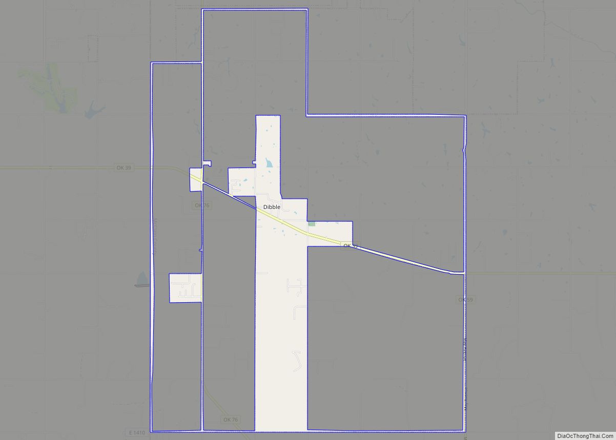
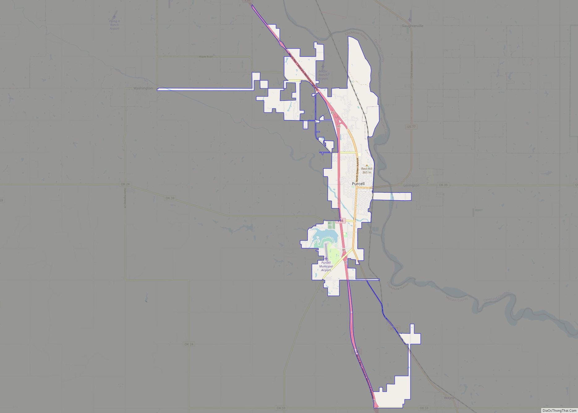
Online Interactive Map
Click on ![]() to view map in "full screen" mode.
to view map in "full screen" mode.
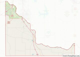
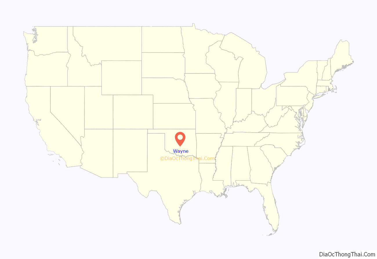
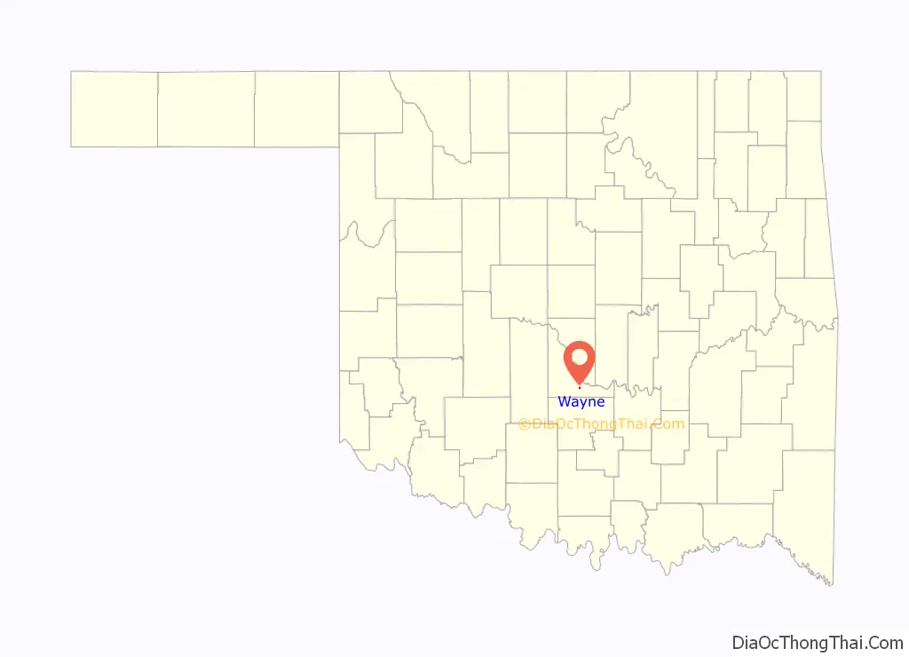
Wayne location map. Where is Wayne town?
History
Wayne was named by early railroad workers from Pennsylvania who adopted town names from the railways there, including Wayne, Paoli, Ardmore, and Wynnewood. Wayne is named for Mad Anthony Wayne, a United States Army general and statesman. The town was significantly damaged by an EF2 tornado on December 13, 2022.
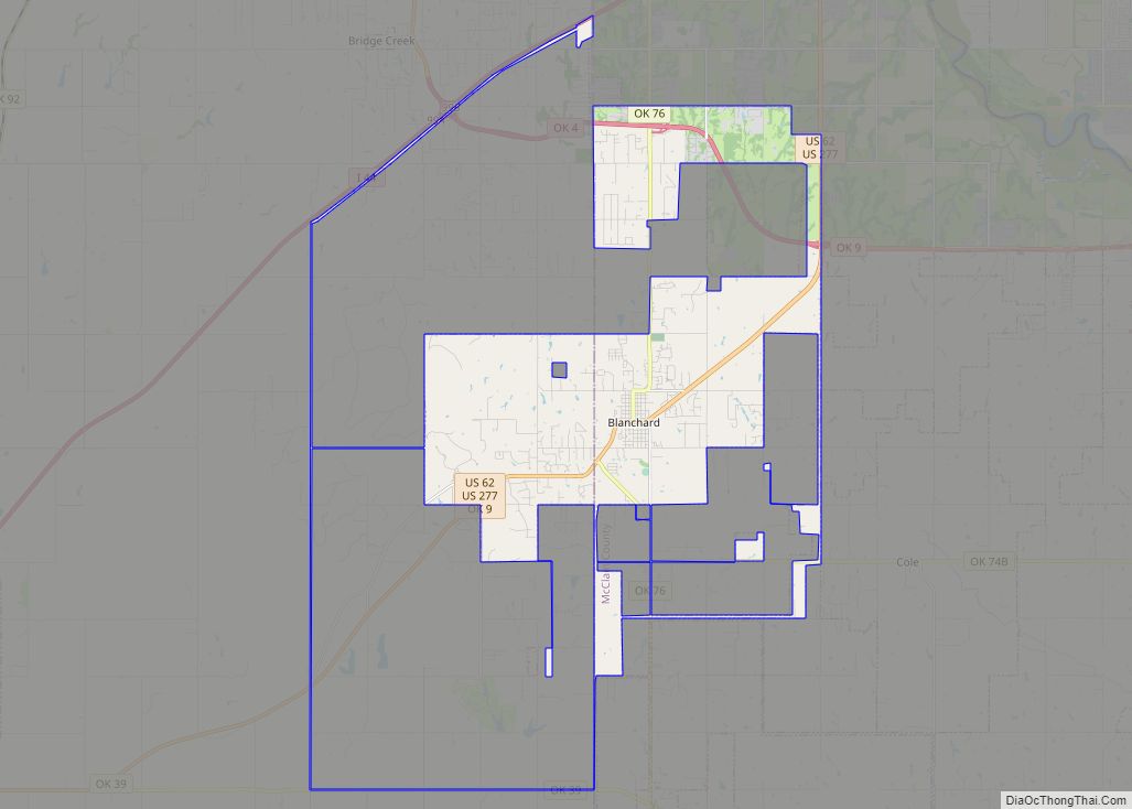
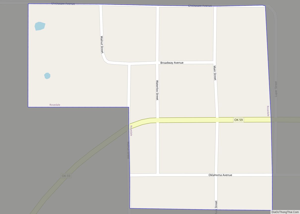
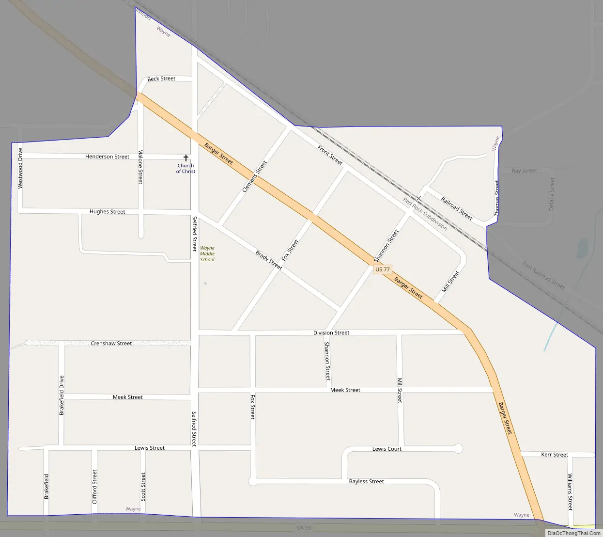
Wayne Road Map
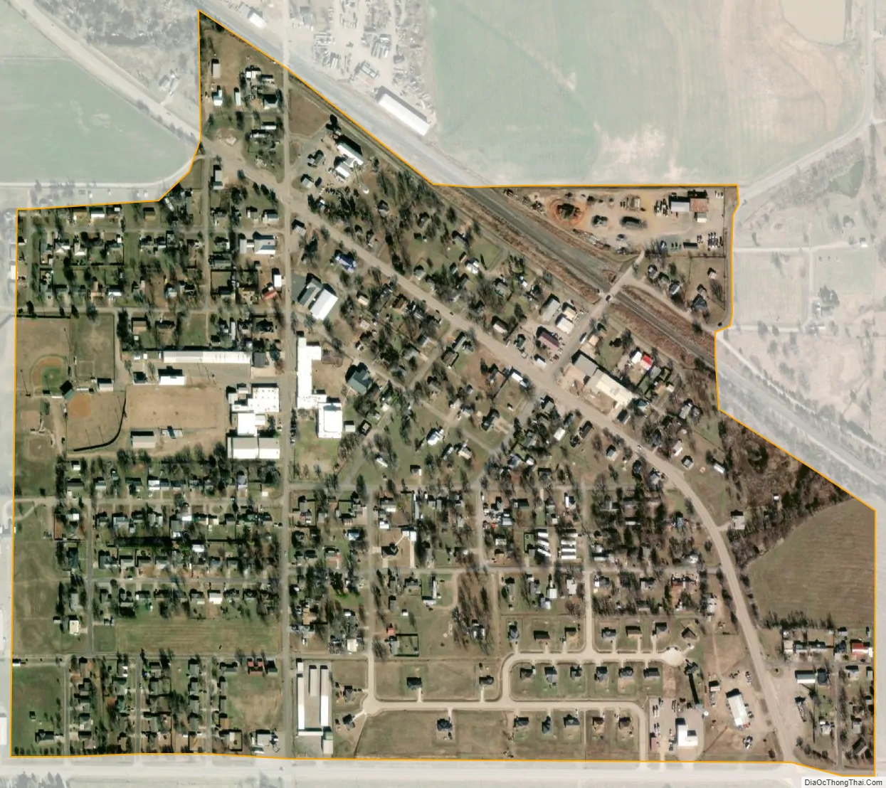
Wayne city Satellite Map
Geography
According to the United States Census Bureau, the town has a total area of 0.4 square miles (1.0 km), all land.
Wayne is located at the intersection of U.S. Highway 77 and State Highway 59.
See also
Map of Oklahoma State and its subdivision:- Adair
- Alfalfa
- Atoka
- Beaver
- Beckham
- Blaine
- Bryan
- Caddo
- Canadian
- Carter
- Cherokee
- Choctaw
- Cimarron
- Cleveland
- Coal
- Comanche
- Cotton
- Craig
- Creek
- Custer
- Delaware
- Dewey
- Ellis
- Garfield
- Garvin
- Grady
- Grant
- Greer
- Harmon
- Harper
- Haskell
- Hughes
- Jackson
- Jefferson
- Johnston
- Kay
- Kingfisher
- Kiowa
- Latimer
- Le Flore
- Lincoln
- Logan
- Love
- Major
- Marshall
- Mayes
- McClain
- McCurtain
- McIntosh
- Murray
- Muskogee
- Noble
- Nowata
- Okfuskee
- Oklahoma
- Okmulgee
- Osage
- Ottawa
- Pawnee
- Payne
- Pittsburg
- Pontotoc
- Pottawatomie
- Pushmataha
- Roger Mills
- Rogers
- Seminole
- Sequoyah
- Stephens
- Texas
- Tillman
- Tulsa
- Wagoner
- Washington
- Washita
- Woods
- Woodward
- Alabama
- Alaska
- Arizona
- Arkansas
- California
- Colorado
- Connecticut
- Delaware
- District of Columbia
- Florida
- Georgia
- Hawaii
- Idaho
- Illinois
- Indiana
- Iowa
- Kansas
- Kentucky
- Louisiana
- Maine
- Maryland
- Massachusetts
- Michigan
- Minnesota
- Mississippi
- Missouri
- Montana
- Nebraska
- Nevada
- New Hampshire
- New Jersey
- New Mexico
- New York
- North Carolina
- North Dakota
- Ohio
- Oklahoma
- Oregon
- Pennsylvania
- Rhode Island
- South Carolina
- South Dakota
- Tennessee
- Texas
- Utah
- Vermont
- Virginia
- Washington
- West Virginia
- Wisconsin
- Wyoming