Wellston is a town in Lincoln County, Oklahoma, United States. The population was 788 at the 2010 census.
| Name: | Wellston town |
|---|---|
| LSAD Code: | 43 |
| LSAD Description: | town (suffix) |
| State: | Oklahoma |
| County: | Lincoln County |
| Elevation: | 902 ft (275 m) |
| Total Area: | 1.65 sq mi (4.28 km²) |
| Land Area: | 1.64 sq mi (4.24 km²) |
| Water Area: | 0.01 sq mi (0.04 km²) |
| Total Population: | 679 |
| Population Density: | 415.04/sq mi (160.29/km²) |
| ZIP code: | 74881 |
| Area code: | 405/572 |
| FIPS code: | 4079900 |
| GNISfeature ID: | 1099483 |
| Website: | www.townofwellstonok.com |
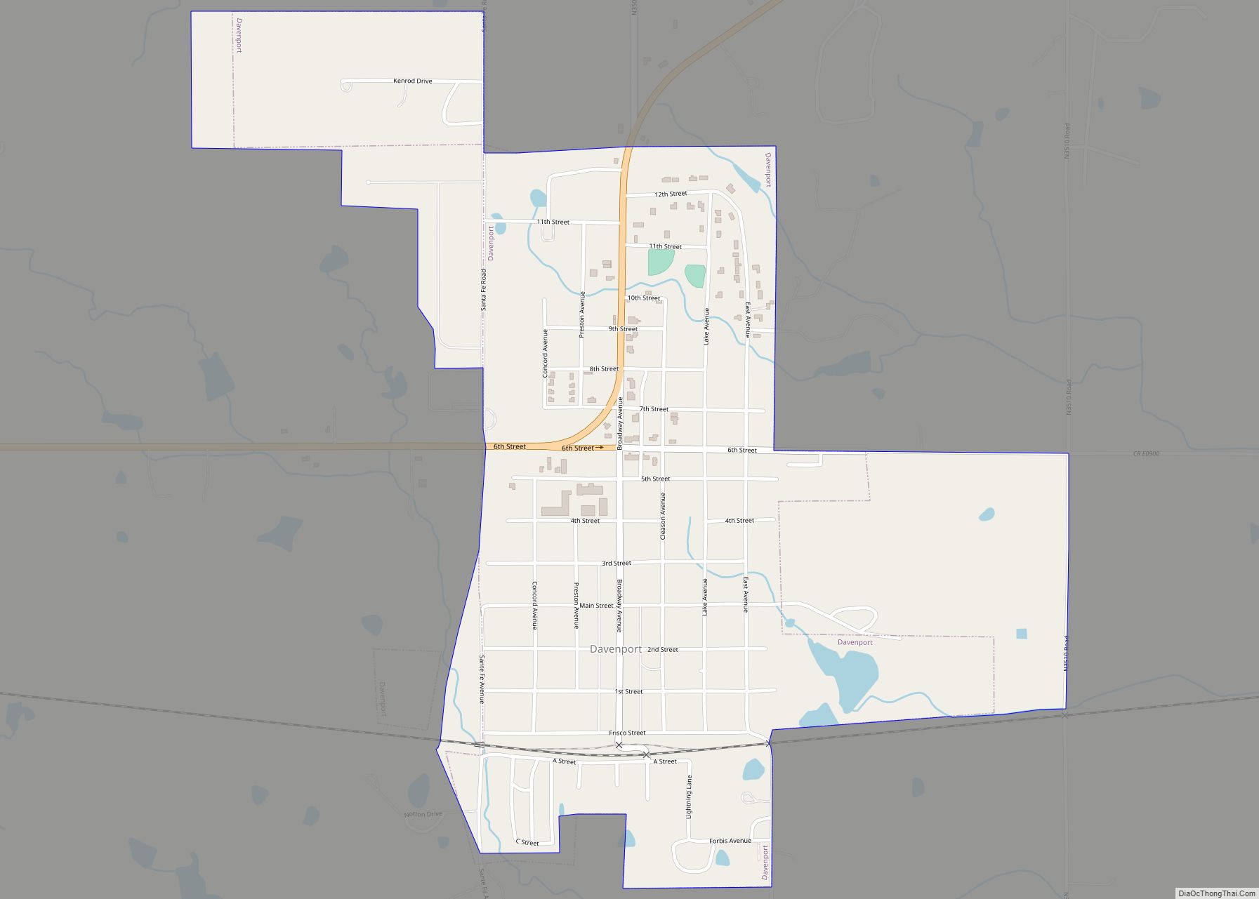
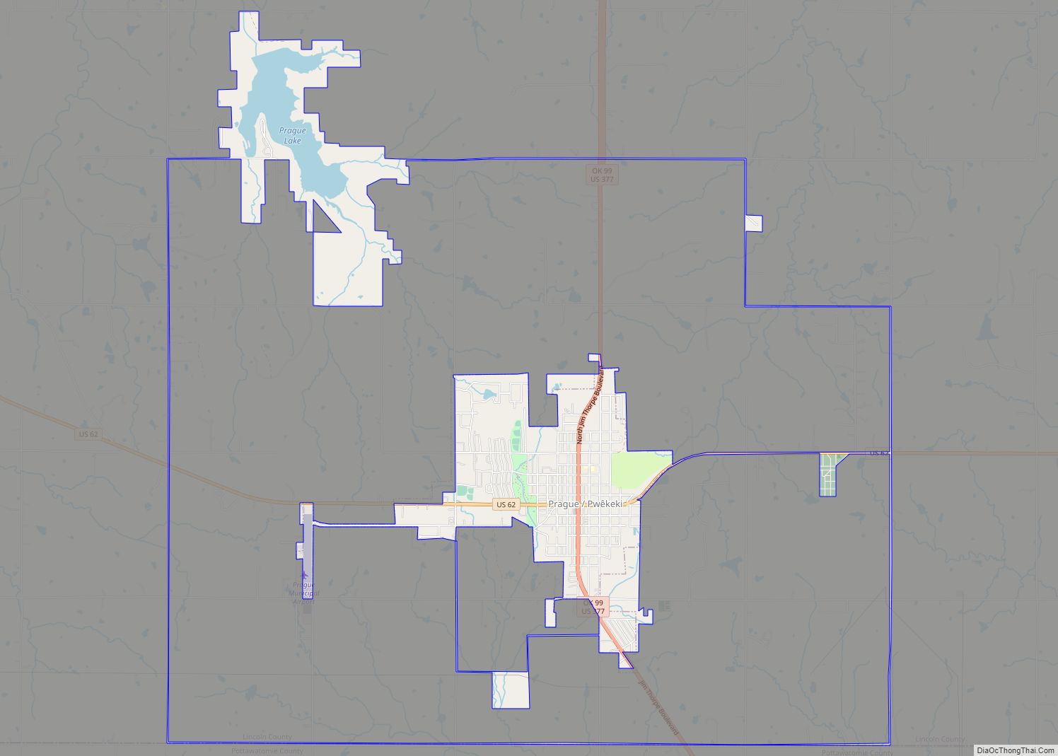
Online Interactive Map
Click on ![]() to view map in "full screen" mode.
to view map in "full screen" mode.
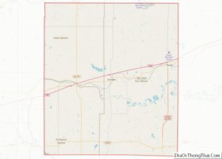
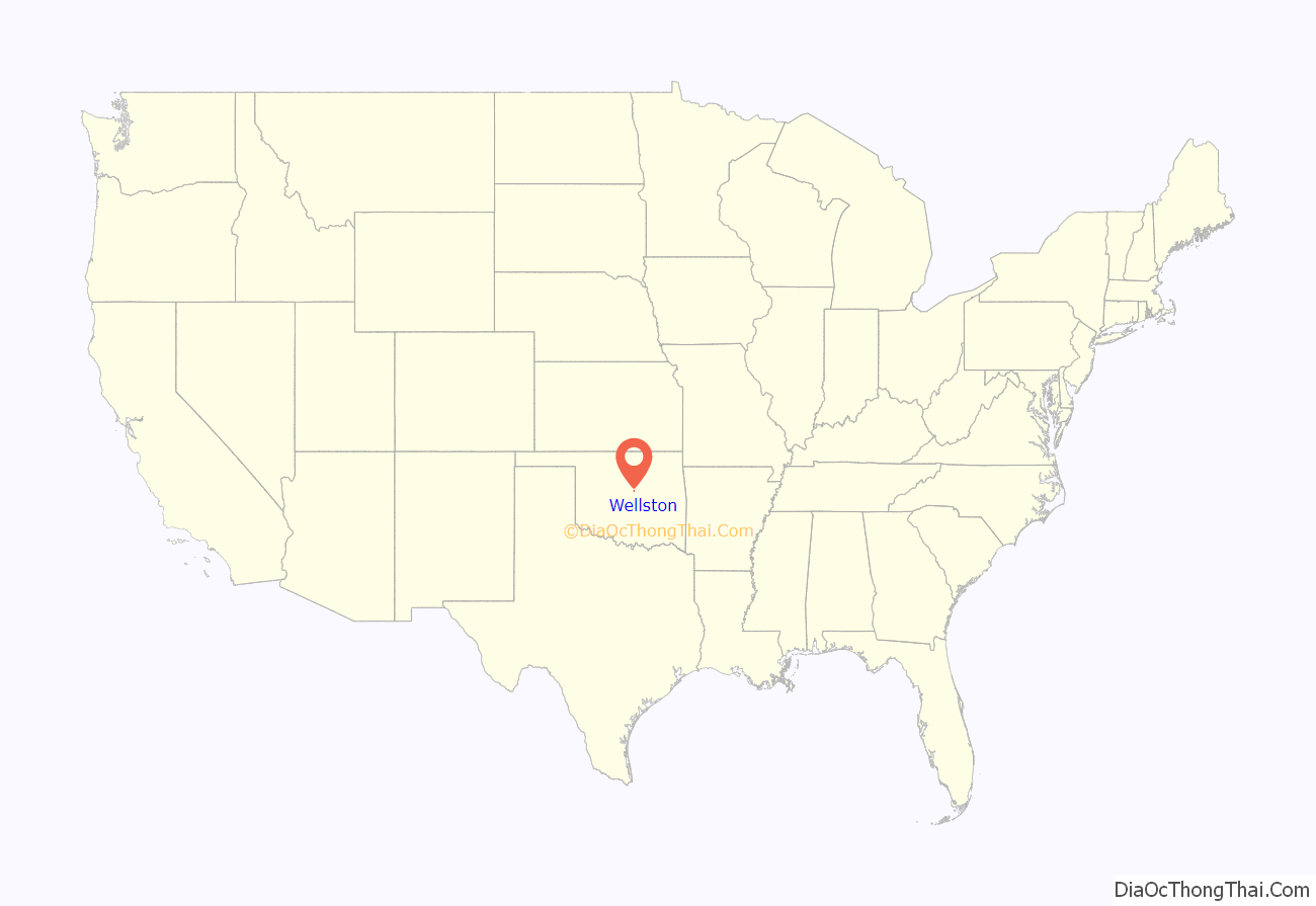
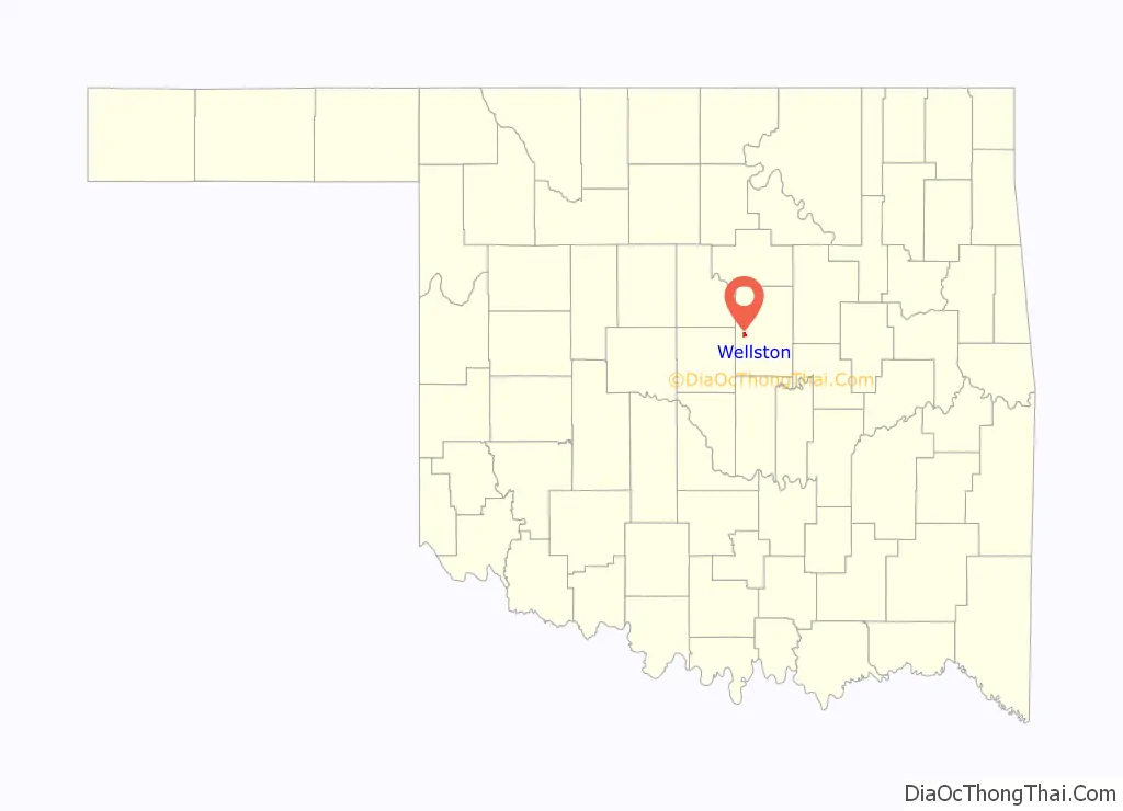
Wellston location map. Where is Wellston town?
History
Wellston was named by Christian T. Wells, who established a trading post on the site in 1883. The post office officially opened September 19, 1884.
The trading post closed during the allotment of the Kickapoo Reserve. Following the Run of 95, the post office reopened June 15, 1897.
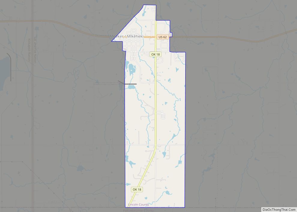
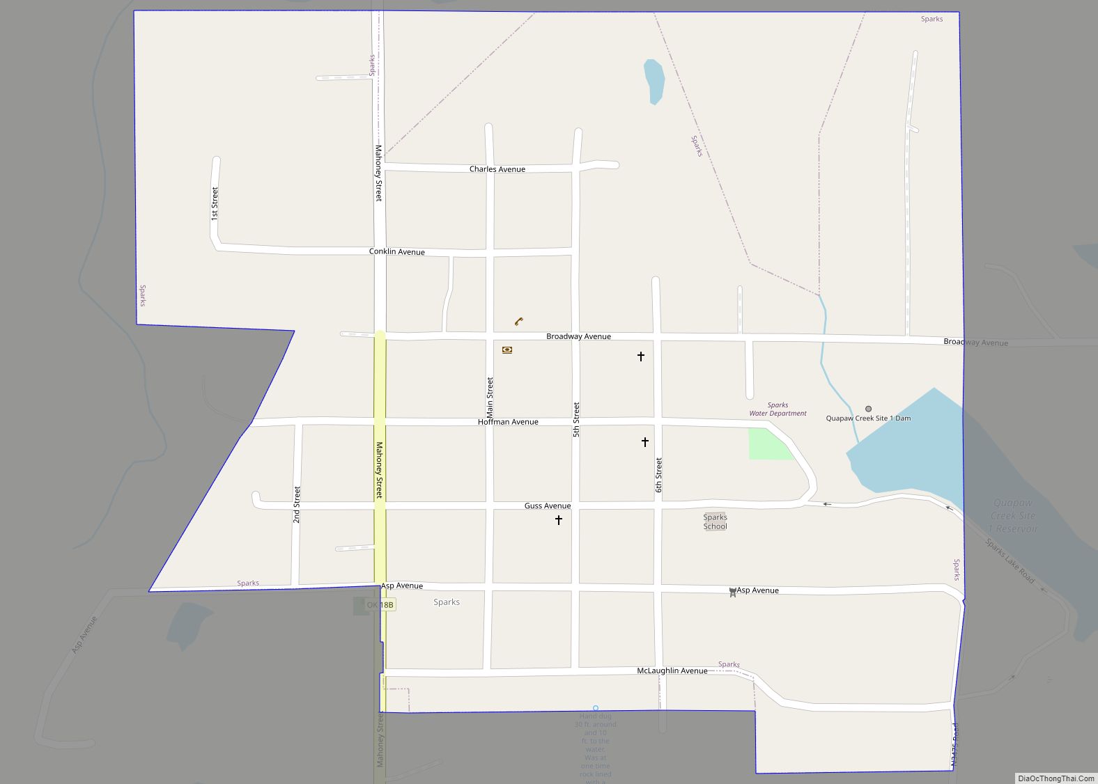
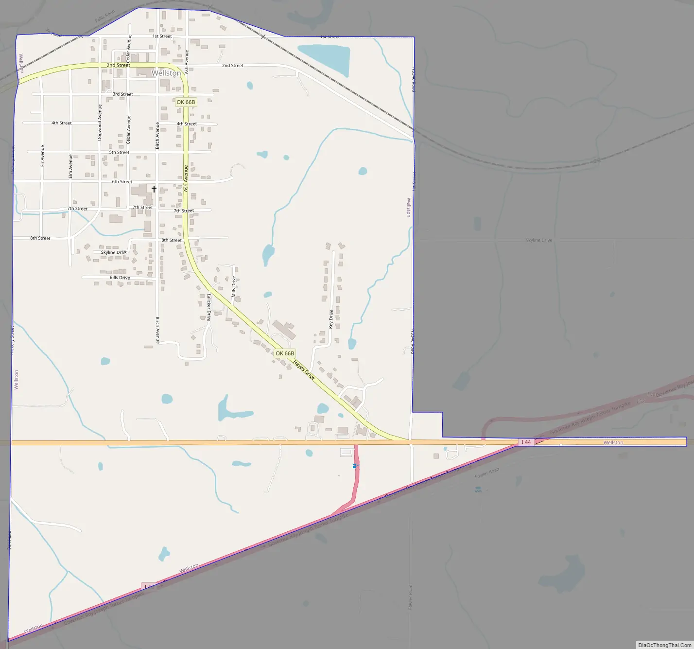
Wellston Road Map
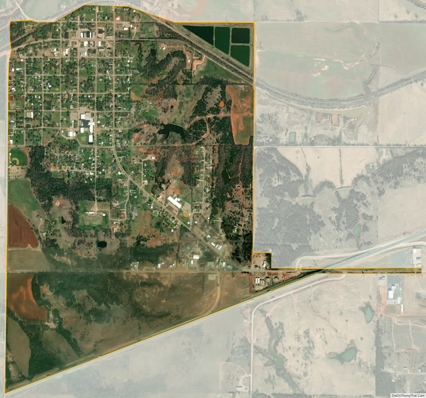
Wellston city Satellite Map
Geography
Wellston is located at 35°41′27″N 97°3′47″W / 35.69083°N 97.06306°W / 35.69083; -97.06306 (35.690863, -97.063185).
According to the United States Census Bureau, the town has a total area of 1.4 square miles (3.6 km), all land.
See also
Map of Oklahoma State and its subdivision:- Adair
- Alfalfa
- Atoka
- Beaver
- Beckham
- Blaine
- Bryan
- Caddo
- Canadian
- Carter
- Cherokee
- Choctaw
- Cimarron
- Cleveland
- Coal
- Comanche
- Cotton
- Craig
- Creek
- Custer
- Delaware
- Dewey
- Ellis
- Garfield
- Garvin
- Grady
- Grant
- Greer
- Harmon
- Harper
- Haskell
- Hughes
- Jackson
- Jefferson
- Johnston
- Kay
- Kingfisher
- Kiowa
- Latimer
- Le Flore
- Lincoln
- Logan
- Love
- Major
- Marshall
- Mayes
- McClain
- McCurtain
- McIntosh
- Murray
- Muskogee
- Noble
- Nowata
- Okfuskee
- Oklahoma
- Okmulgee
- Osage
- Ottawa
- Pawnee
- Payne
- Pittsburg
- Pontotoc
- Pottawatomie
- Pushmataha
- Roger Mills
- Rogers
- Seminole
- Sequoyah
- Stephens
- Texas
- Tillman
- Tulsa
- Wagoner
- Washington
- Washita
- Woods
- Woodward
- Alabama
- Alaska
- Arizona
- Arkansas
- California
- Colorado
- Connecticut
- Delaware
- District of Columbia
- Florida
- Georgia
- Hawaii
- Idaho
- Illinois
- Indiana
- Iowa
- Kansas
- Kentucky
- Louisiana
- Maine
- Maryland
- Massachusetts
- Michigan
- Minnesota
- Mississippi
- Missouri
- Montana
- Nebraska
- Nevada
- New Hampshire
- New Jersey
- New Mexico
- New York
- North Carolina
- North Dakota
- Ohio
- Oklahoma
- Oregon
- Pennsylvania
- Rhode Island
- South Carolina
- South Dakota
- Tennessee
- Texas
- Utah
- Vermont
- Virginia
- Washington
- West Virginia
- Wisconsin
- Wyoming