Mexican Hat is a census-designated place (CDP) in Utah in the United States. It is on the San Juan River on the northern edge of the Navajo Nation’s borders in south-central San Juan County. The population was 31 in the 2010 census, a sharp decline from the previous two censuses.
| Name: | Mexican Hat CDP |
|---|---|
| LSAD Code: | 57 |
| LSAD Description: | CDP (suffix) |
| State: | Utah |
| County: | San Juan County |
| Elevation: | 4,244 ft (1,294 m) |
| Total Area: | 8.5 sq mi (22 km²) |
| Land Area: | 8.2 sq mi (21 km²) |
| Water Area: | 0.3 sq mi (0.8 km²) |
| Total Population: | 31 |
| Population Density: | 3.8/sq mi (1.5/km²) |
| ZIP code: | 84531 |
| Area code: | 435 |
| FIPS code: | 4949380 |
| GNISfeature ID: | 1430248 |
Online Interactive Map
Click on ![]() to view map in "full screen" mode.
to view map in "full screen" mode.
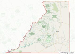
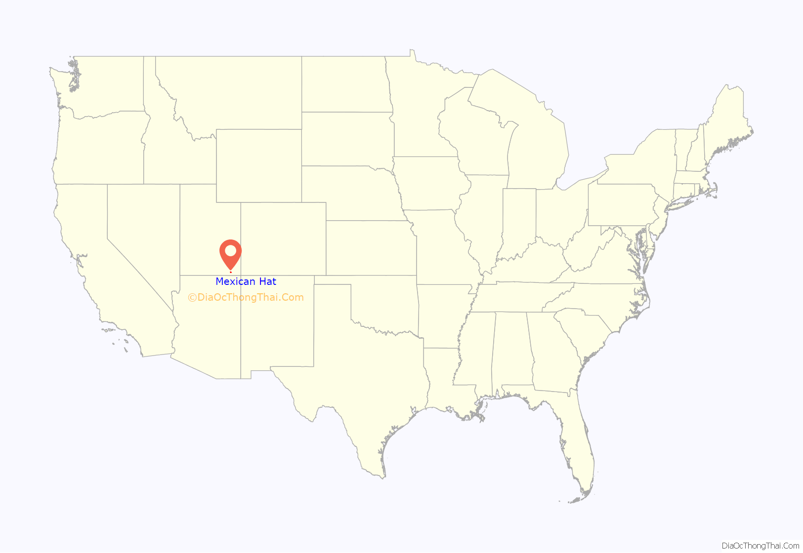
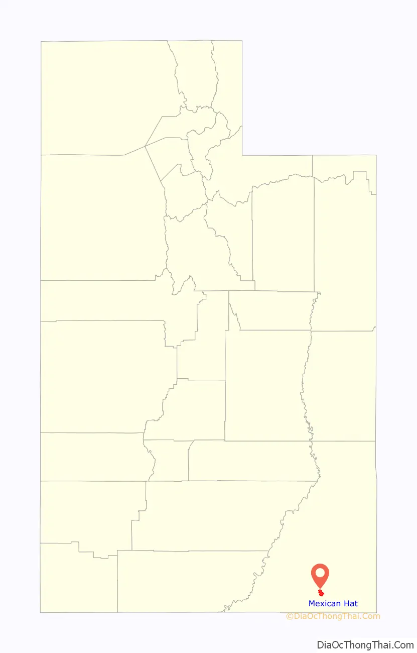
Mexican Hat location map. Where is Mexican Hat CDP?
History
The name “Mexican Hat” comes from a curiously sombrero-shaped rock outcropping on the northeast edge of town; the rock measures 60-foot (18 m) wide by 12-foot (3.7 m). The “Hat” has two rock climbing routes ascending it. Mexican Hat has frequently been noted on lists of unusual place names.
In 2016, the U.S. Route 163 bridge crossing the San Juan River on the south border of the town was renamed the “Jason R. Workman Memorial Bridge” after a member of SEAL Team Six who was killed in action in Afghanistan on August 6, 2011. Workman was a 1997 graduate of the nearby San Juan High School.
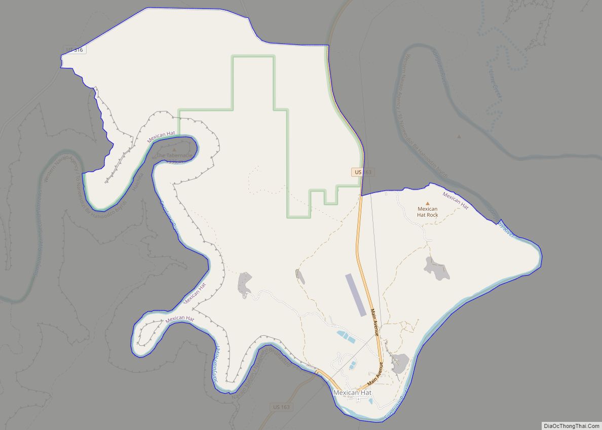
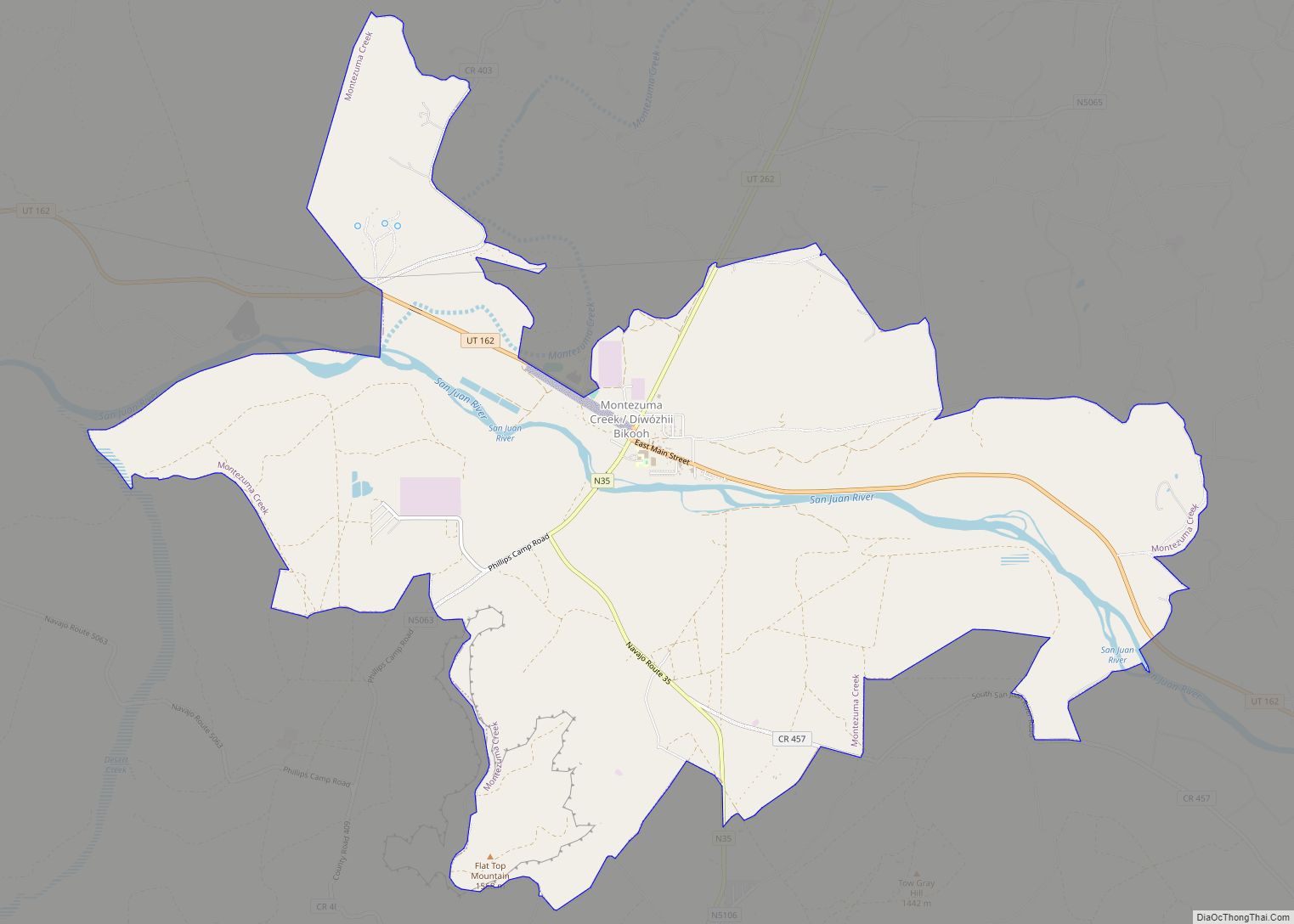
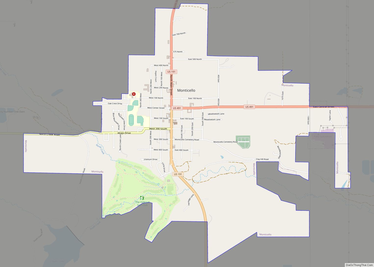
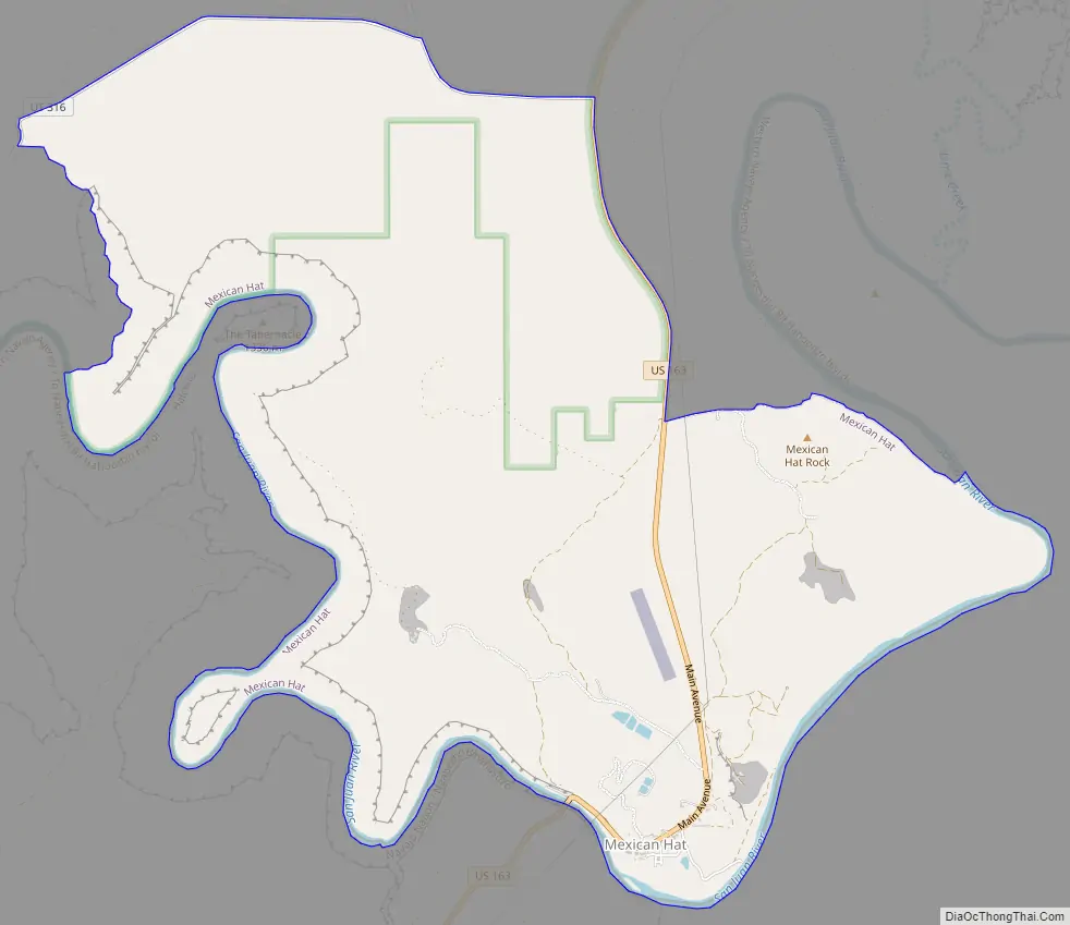
Mexican Hat Road Map
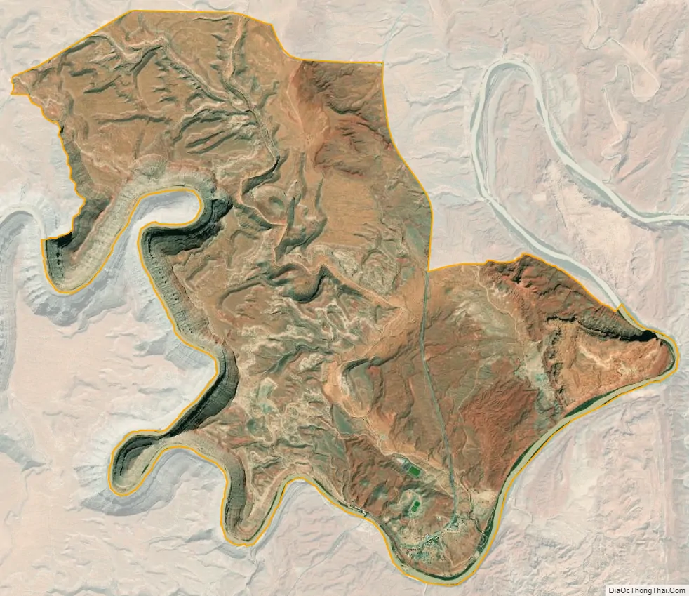
Mexican Hat city Satellite Map
Geography
The CDP is on U.S. Route 163, just 3 miles (5 km) south of the junction with State Route 261, and is just outside the northern boundary of both the Navajo Nation and Monument Valley. Goosenecks State Park is located 9 miles (14 km) west-northwest, Alhambra Rock is 6 miles (10 km) west-southwest, and the Valley of the Gods is to the north on U.S. 163.
According to the United States Census Bureau, the CDP has a total area of 8.5 square miles (22 km), of which 8.2 square miles (21 km) is land (96%) and 0.3 square miles (0.78 km) is water (4%).
Climate
According to the Köppen Climate Classification system, Mexican Hat has a semi-arid climate, abbreviated “BSk” on climate maps.
See also
Map of Utah State and its subdivision: Map of other states:- Alabama
- Alaska
- Arizona
- Arkansas
- California
- Colorado
- Connecticut
- Delaware
- District of Columbia
- Florida
- Georgia
- Hawaii
- Idaho
- Illinois
- Indiana
- Iowa
- Kansas
- Kentucky
- Louisiana
- Maine
- Maryland
- Massachusetts
- Michigan
- Minnesota
- Mississippi
- Missouri
- Montana
- Nebraska
- Nevada
- New Hampshire
- New Jersey
- New Mexico
- New York
- North Carolina
- North Dakota
- Ohio
- Oklahoma
- Oregon
- Pennsylvania
- Rhode Island
- South Carolina
- South Dakota
- Tennessee
- Texas
- Utah
- Vermont
- Virginia
- Washington
- West Virginia
- Wisconsin
- Wyoming