Montezuma Creek is a census-designated place (CDP) in San Juan County, Utah, United States. The population was 335 at the 2010 census, a decrease from the 2000 figure of 507.
| Name: | Montezuma Creek CDP |
|---|---|
| LSAD Code: | 57 |
| LSAD Description: | CDP (suffix) |
| State: | Utah |
| County: | San Juan County |
| Elevation: | 4,423 ft (1,348 m) |
| Total Area: | 12.5 sq mi (32.4 km²) |
| Land Area: | 12.1 sq mi (31.4 km²) |
| Water Area: | 0.4 sq mi (1.1 km²) |
| Total Population: | 507 |
| Population Density: | 41.8/sq mi (16.2/km²) |
| ZIP code: | 84534 |
| Area code: | 435 |
| FIPS code: | 4951470 |
| GNISfeature ID: | 1430435 |
Online Interactive Map
Click on ![]() to view map in "full screen" mode.
to view map in "full screen" mode.
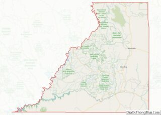
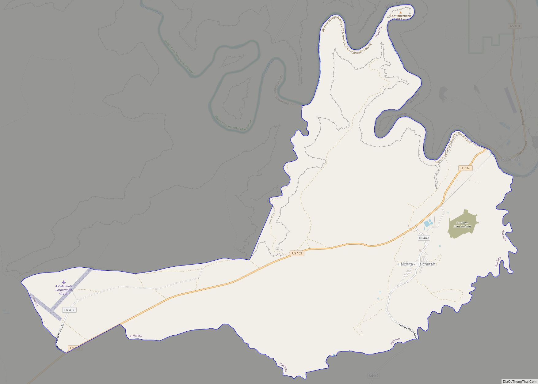
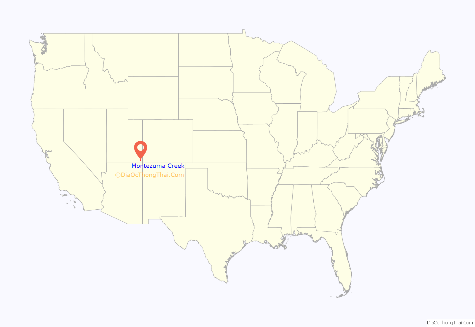
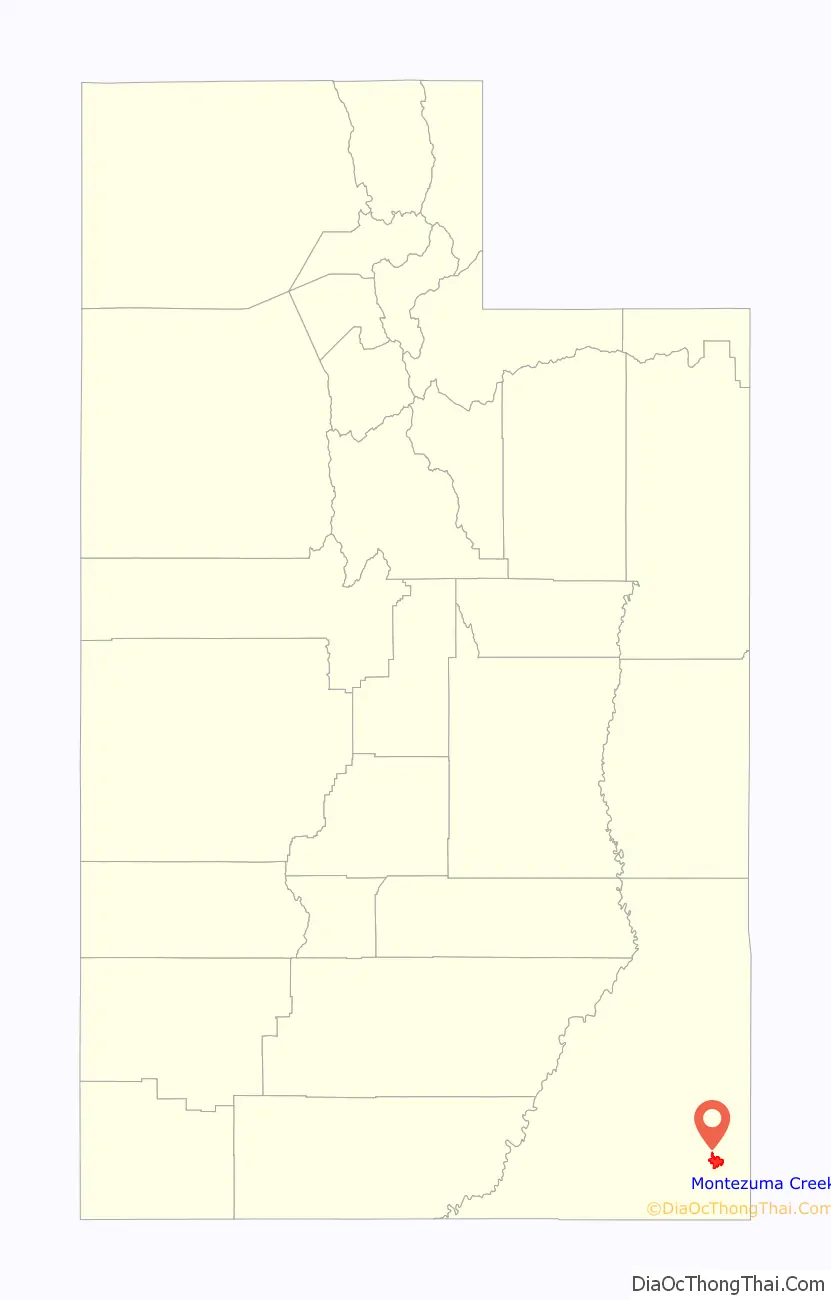
Montezuma Creek location map. Where is Montezuma Creek CDP?
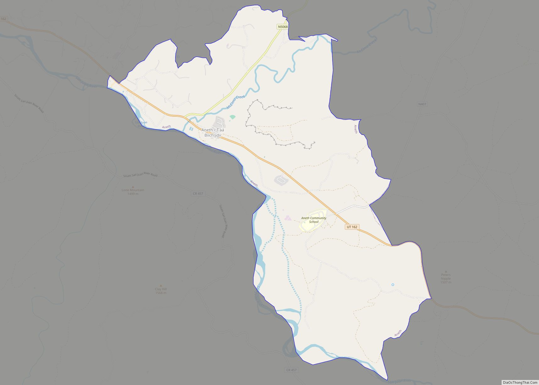
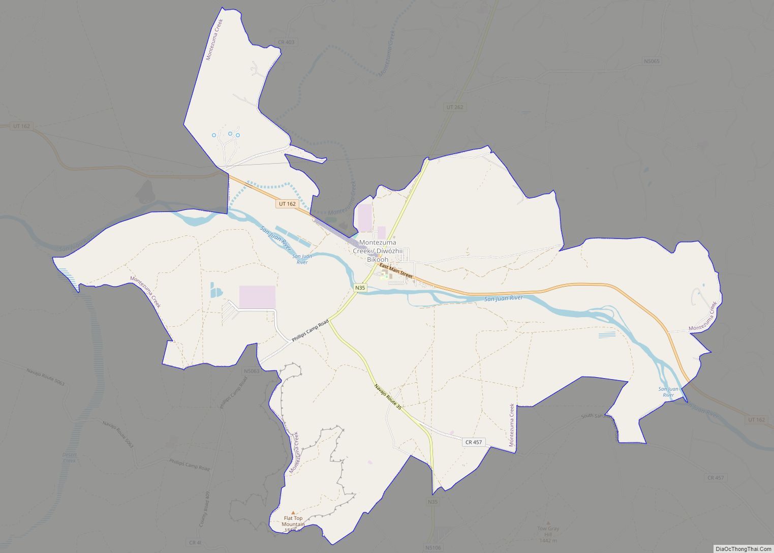
Montezuma Creek Road Map

Montezuma Creek city Satellite Map

Geography
Montezuma Creek is located at the confluence of the stream Montezuma Creek with the San Juan River. The community is served by highways U.S. Route 163 and Utah State Route 262.
According to the United States Census Bureau, the CDP has a total area of 12.5 square miles (32.4 km), of which 12.1 square miles (31.4 km) is land and 0.4 square mile (1.1 km) (3.27%) is water.
See also
Map of Utah State and its subdivision: Map of other states:- Alabama
- Alaska
- Arizona
- Arkansas
- California
- Colorado
- Connecticut
- Delaware
- District of Columbia
- Florida
- Georgia
- Hawaii
- Idaho
- Illinois
- Indiana
- Iowa
- Kansas
- Kentucky
- Louisiana
- Maine
- Maryland
- Massachusetts
- Michigan
- Minnesota
- Mississippi
- Missouri
- Montana
- Nebraska
- Nevada
- New Hampshire
- New Jersey
- New Mexico
- New York
- North Carolina
- North Dakota
- Ohio
- Oklahoma
- Oregon
- Pennsylvania
- Rhode Island
- South Carolina
- South Dakota
- Tennessee
- Texas
- Utah
- Vermont
- Virginia
- Washington
- West Virginia
- Wisconsin
- Wyoming