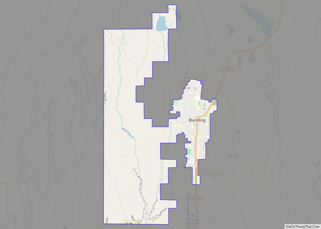
Blanding (/ˈblændɪŋ/ (listen)) is a city in San Juan County, Utah, United States. The population was 3,375 at the 2010 census, making it the most populated city in San Juan County. It was settled in the late 19th century by Mormon settlers, predominantly from the famed Hole-In-The-Rock expedition. Economic contributors include mineral processing, mining, agriculture, local commerce, tourism, and transportation.
Blanding is located near both the Navajo and White Mesa Ute Native American reservations and a significant percentage of Blanding’s population has family ties to these nearby cultures. Blanding is a gateway to an abundance of nearby natural and archaeological resources, including The Dinosaur Museum, Natural Bridges National Monument, Monument Valley, and the Four Corners area, Glen Canyon National Recreation Area (Lake Powell), Cedar Mesa archaeological and wilderness area, the San Juan River including Goosenecks State Park, and the Needles district of Canyonlands National Park. It is located approximately 1 hour south of the popular recreation hub of Moab and Arches National Park.
| Name: | Blanding city |
|---|---|
| LSAD Code: | 25 |
| LSAD Description: | city (suffix) |
| State: | Utah |
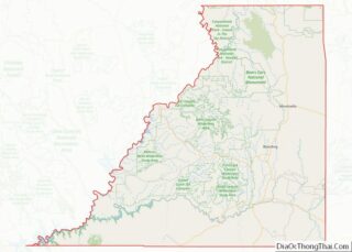
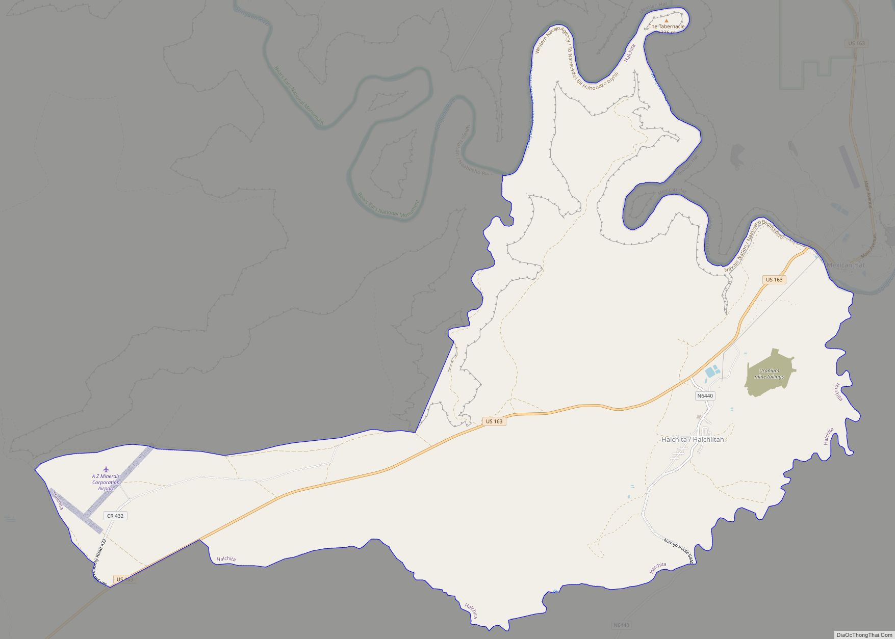
| County: | San Juan County |
| Founded: | 1905 |
| Elevation: | 6,106 ft (1,861 m) |
| Total Area: | 13.22 sq mi (34.23 km²) |
| Land Area: | 13.18 sq mi (34.13 km²) |
| Water Area: | 0.04 sq mi (0.11 km²) |
| Total Population: | 3,375 |
| Population Density: | 275.73/sq mi (106.46/km²) |
| ZIP code: | 84511 |
| Area code: | 435 |
| FIPS code: | 4906370 |
| GNISfeature ID: | 1438903 |
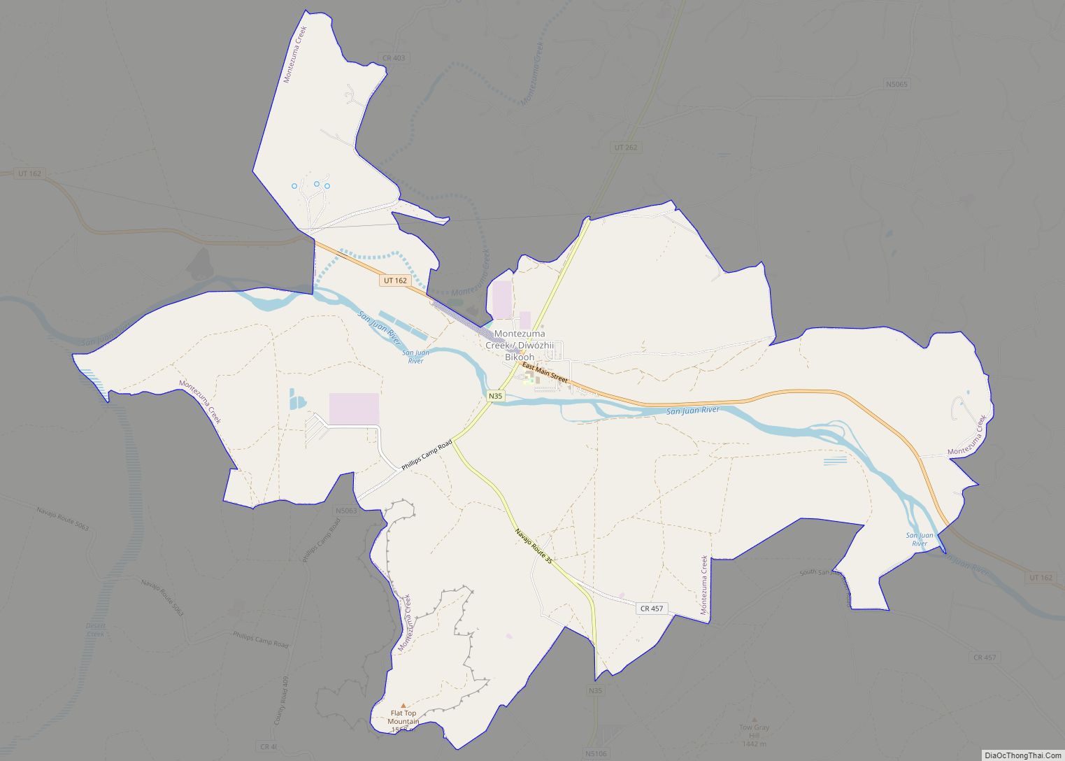
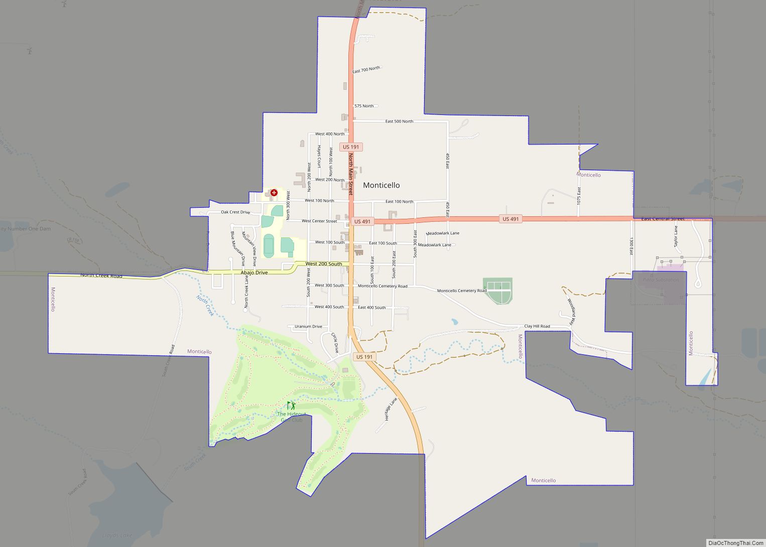
Online Interactive Map
Click on ![]() to view map in "full screen" mode.
to view map in "full screen" mode.
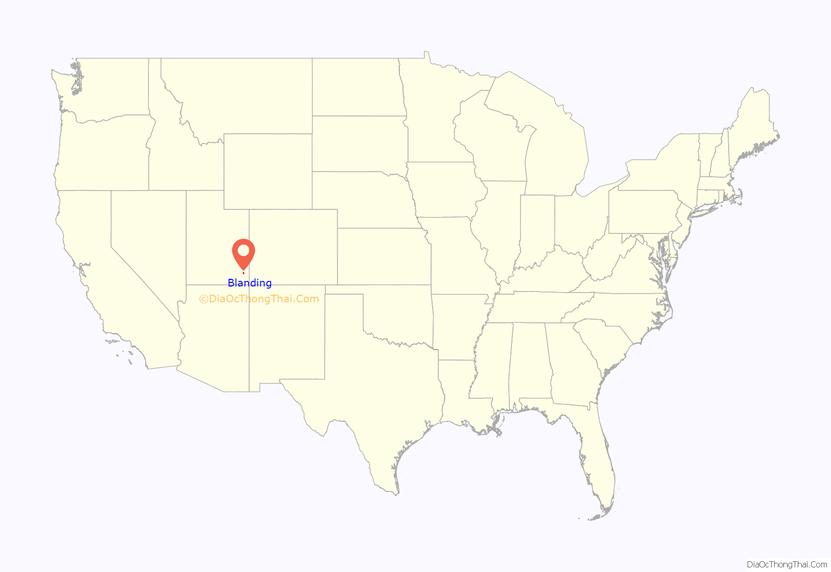
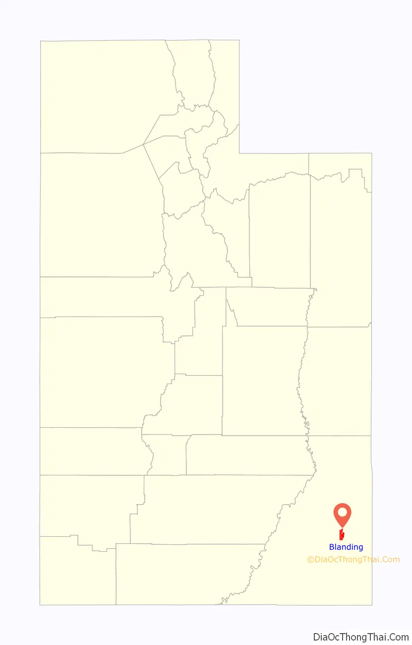
Blanding location map. Where is Blanding city?
History
First known as Grayson (after Nellie Grayson Lyman, wife of settler Joseph Lyman), the town changed its name in 1914 when a wealthy easterner, Thomas W. Bicknell, offered a thousand-volume library to any town that would adopt his name. Grayson competed with Thurber, Utah (renamed Bicknell) for the prize. Grayson was renamed Blanding after the maiden name of Bicknell’s wife, and each town received 500 books.
On the morning of June 10, 2009, sixteen Blanding residents were arrested in more than a dozen raids performed by federal agents and indicted as part of an undercover investigation of violations of the Archeological Resources Protection Act. Eight others around the Four Corners region were also indicted. The raid was the largest undercover sting of its kind in the country. The raid was the conclusion of a two-year investigation by FBI and BLM agents code-named “Cerberus Action” in which an undercover agent was able to purchase 256 artifacts for $335,685. One indicted resident, Dr. James DeMar Redd, died by suicide on June 11. The undercover informant, Ted Gardiner, died by suicide on March 1, 2010.
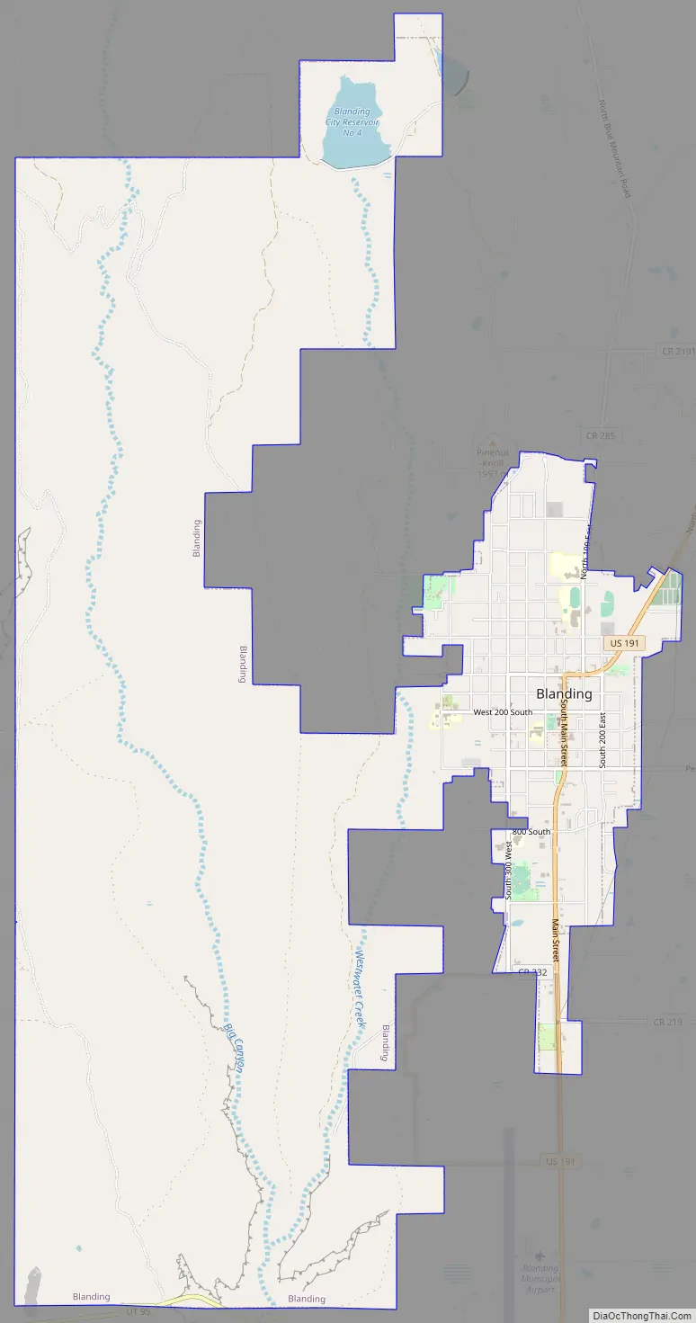
Blanding Road Map
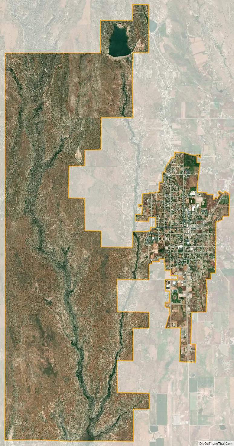
Blanding city Satellite Map
Geography
Blanding is located at 37°37′24″N 109°28′44″W / 37.623199°N 109.478943°W / 37.623199; -109.478943 (37.623199, -109.478943) in the Four Corners area of the Colorado Plateau.
According to the United States Census Bureau, the city has a total area of 2.4 square miles (6.1 km), all land.
See also
Map of Utah State and its subdivision: Map of other states:- Alabama
- Alaska
- Arizona
- Arkansas
- California
- Colorado
- Connecticut
- Delaware
- District of Columbia
- Florida
- Georgia
- Hawaii
- Idaho
- Illinois
- Indiana
- Iowa
- Kansas
- Kentucky
- Louisiana
- Maine
- Maryland
- Massachusetts
- Michigan
- Minnesota
- Mississippi
- Missouri
- Montana
- Nebraska
- Nevada
- New Hampshire
- New Jersey
- New Mexico
- New York
- North Carolina
- North Dakota
- Ohio
- Oklahoma
- Oregon
- Pennsylvania
- Rhode Island
- South Carolina
- South Dakota
- Tennessee
- Texas
- Utah
- Vermont
- Virginia
- Washington
- West Virginia
- Wisconsin
- Wyoming