Bluff is a town in San Juan County, Utah, United States. The population was 320 at the 2000 census. Bluff incorporated in 2018. Ann Leppanen is currently the mayor.
| Name: | Bluff town |
|---|---|
| LSAD Code: | 43 |
| LSAD Description: | town (suffix) |
| State: | Utah |
| County: | San Juan County |
| Founded: | April 6, 1880 |
| Incorporated: | August 31, 2018 |
| Elevation: | 4,324 ft (1,317 m) |
| Total Area: | 36.71 sq mi (95.08 km²) |
| Land Area: | 36.47 sq mi (94.45 km²) |
| Water Area: | 0.24 sq mi (0.63 km²) |
| Total Population: | 240 |
| Population Density: | 6.72/sq mi (2.59/km²) |
| ZIP code: | 84512 |
| Area code: | 435 |
| FIPS code: | 4906700 |
| GNISfeature ID: | 1425842 |
| Website: | http://townofbluff.org/ footnotes = |
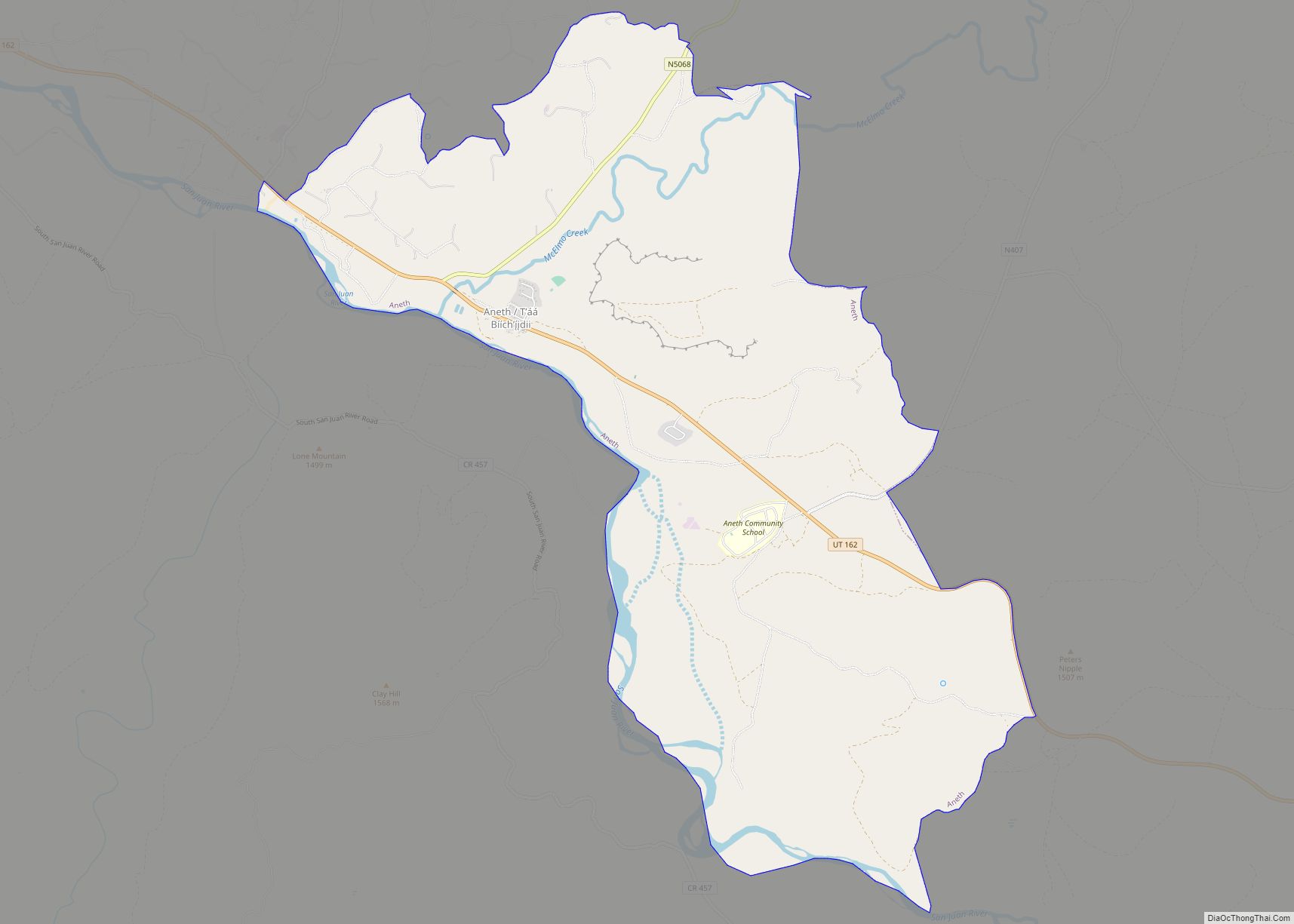
Online Interactive Map
Click on ![]() to view map in "full screen" mode.
to view map in "full screen" mode.
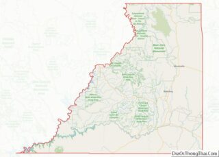
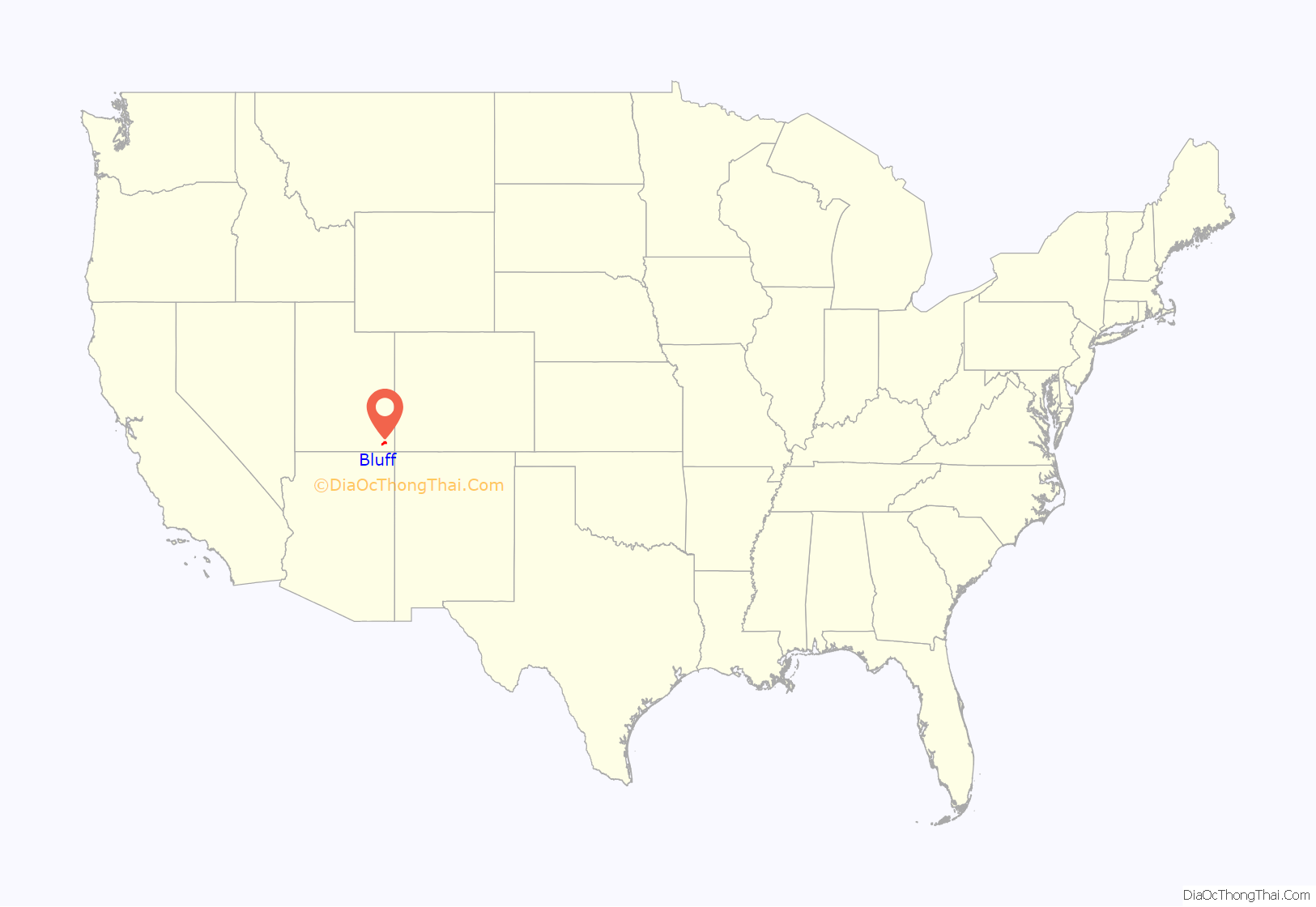
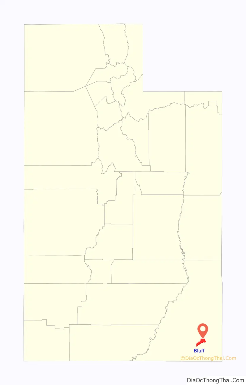
Bluff location map. Where is Bluff town?
History
Under the direction of John Taylor, Silas S. Smith and Danish settler Jens Nielson led about 230 Mormons on an expedition to start a farming community in southeastern Utah. After forging about 200 miles (320 kilometers) of their own trail over difficult terrain, the settlers arrived on the site of Bluff in April 1880. (The trail followed went over and down the “Hole in the Rock”, which now opens into one of the tributaries of Lake Powell.) The town was named for the bluffs near the town site. The town’s population had declined to seventy by 1930 but rebounded during a uranium prospecting boom in the 1950s. With the uranium decline in the 1970s, Bluff again declined and now remains a small town with about 200 residents.
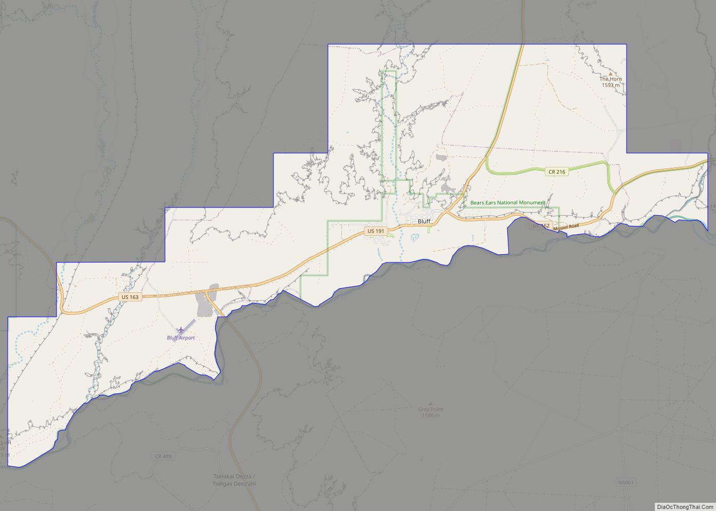
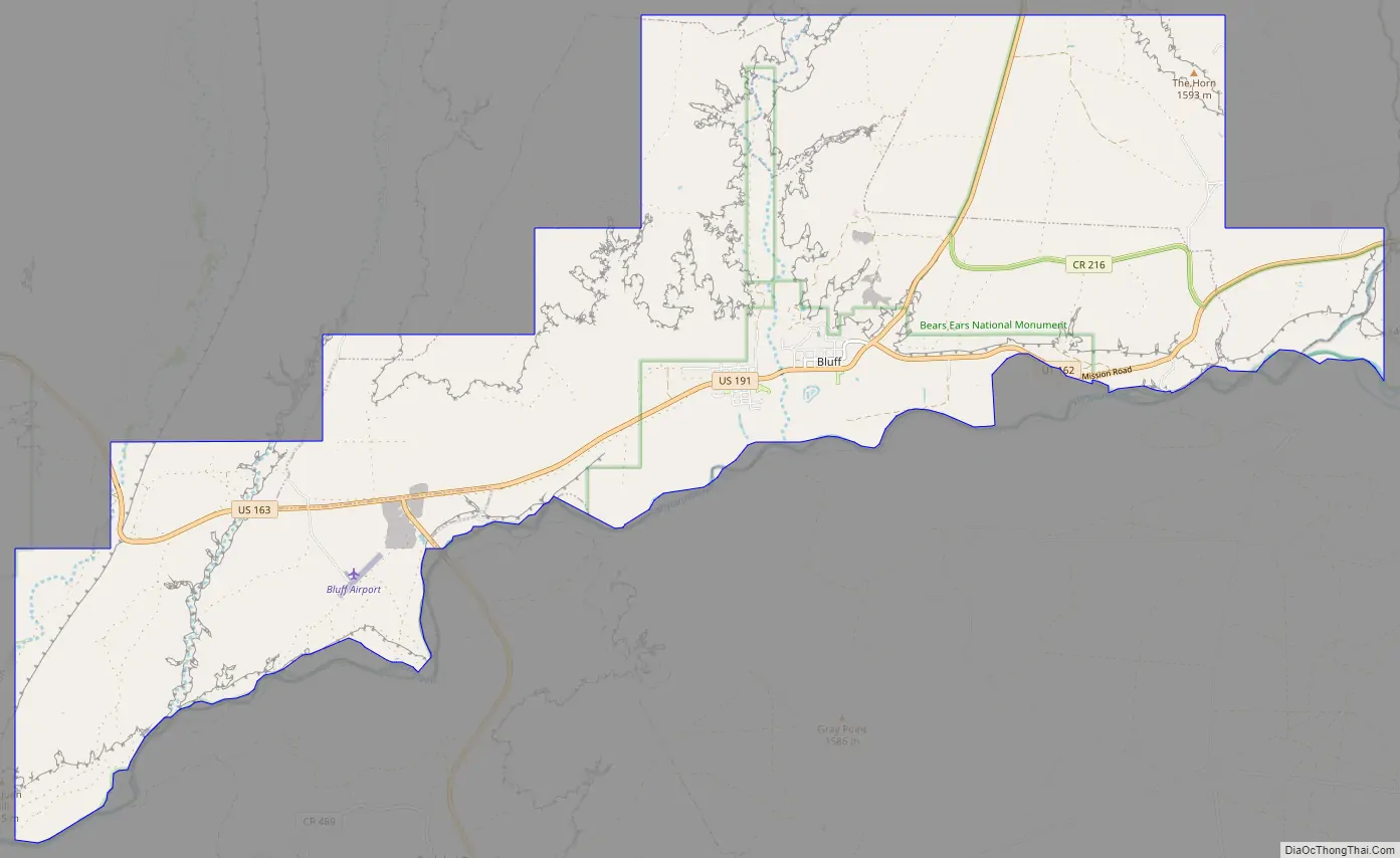
Bluff Road Map
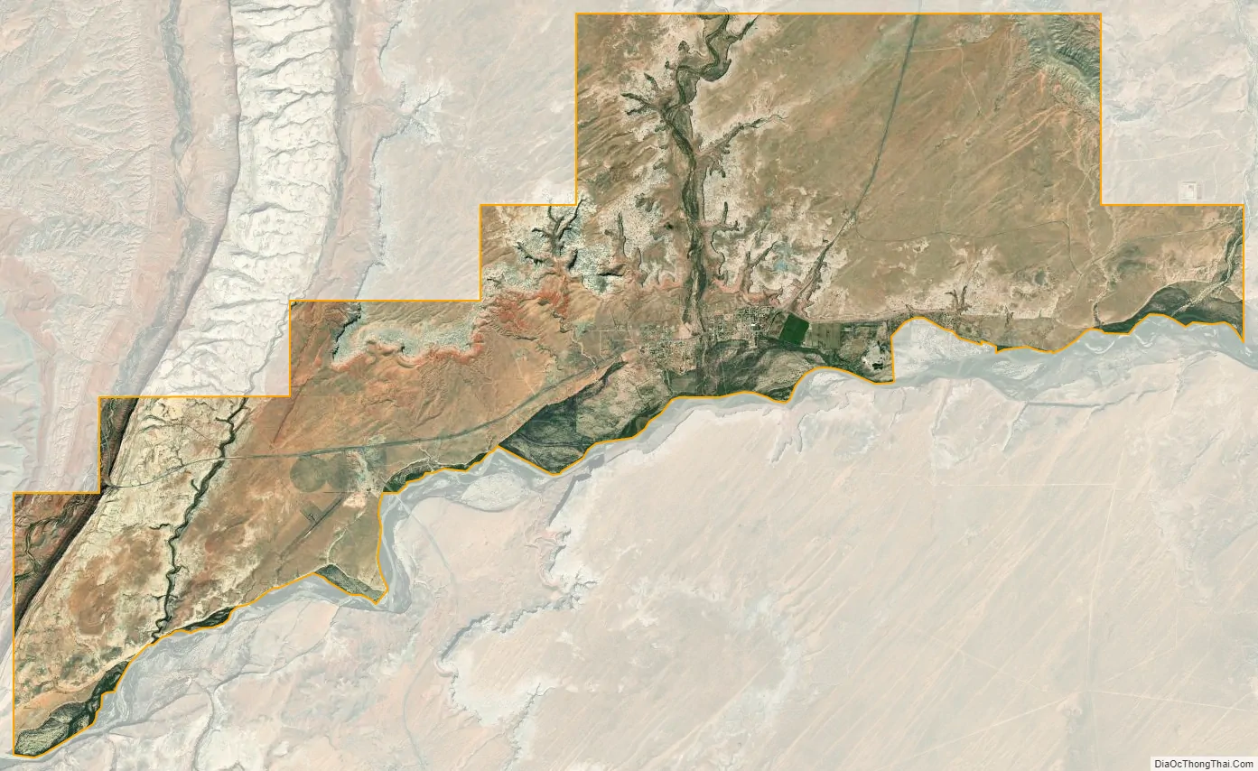
Bluff city Satellite Map
Geography
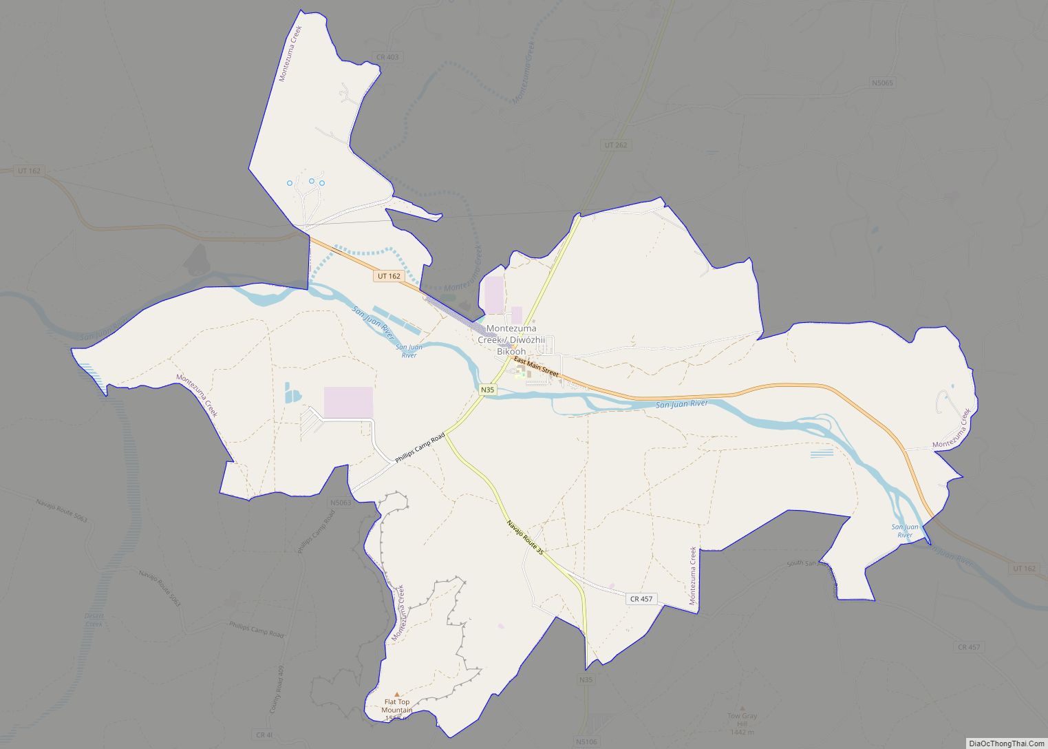
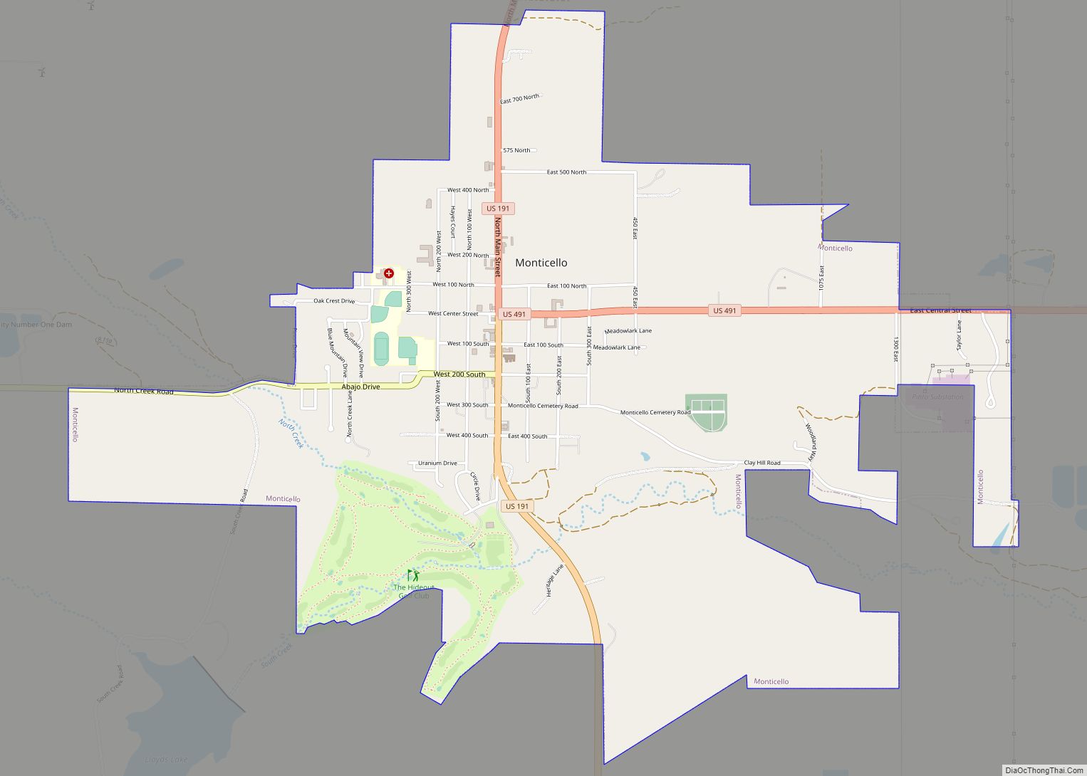
Bluff is located in the sparsely populated southeastern Utah canyonlands of the Colorado Plateau. The community is on the north margin of the San Juan River valley at the confluence of Cottonwood Wash with the San Juan. U.S. routes 163 and 191 and State Route 162 pass through the community.
According to the United States Census Bureau, the town has a total area of 22.6 square miles (58.7 km), of which 22.1 square miles (57.2 km) is land and 0.6 square mile (1.4 km) (2.43%) is water.
See also
Map of Utah State and its subdivision: Map of other states:- Alabama
- Alaska
- Arizona
- Arkansas
- California
- Colorado
- Connecticut
- Delaware
- District of Columbia
- Florida
- Georgia
- Hawaii
- Idaho
- Illinois
- Indiana
- Iowa
- Kansas
- Kentucky
- Louisiana
- Maine
- Maryland
- Massachusetts
- Michigan
- Minnesota
- Mississippi
- Missouri
- Montana
- Nebraska
- Nevada
- New Hampshire
- New Jersey
- New Mexico
- New York
- North Carolina
- North Dakota
- Ohio
- Oklahoma
- Oregon
- Pennsylvania
- Rhode Island
- South Carolina
- South Dakota
- Tennessee
- Texas
- Utah
- Vermont
- Virginia
- Washington
- West Virginia
- Wisconsin
- Wyoming