Bonanza is a census-designated place in eastern Uintah County, Utah, United States. The name refers to a rich mineral strike.
Near the community is a coal-fired power plant owned by Deseret Power Electric Cooperative. Bonanza is also in the area of the Colorado Plateau where oil drilling and extraction takes place from oil shale and other fossil fuel deposits. According to the 2010 Census, Bonanza has a population of 0.
| Name: | Bonanza CDP |
|---|---|
| LSAD Code: | 57 |
| LSAD Description: | CDP (suffix) |
| State: | Utah |
| County: | Uintah County |
| Elevation: | 5,466 ft (1,666 m) |
| ZIP code: | 84008 |
| Area code: | 435 |
| FIPS code: | 4906920 |
| GNISfeature ID: | 2584757 |
Online Interactive Map
Click on ![]() to view map in "full screen" mode.
to view map in "full screen" mode.
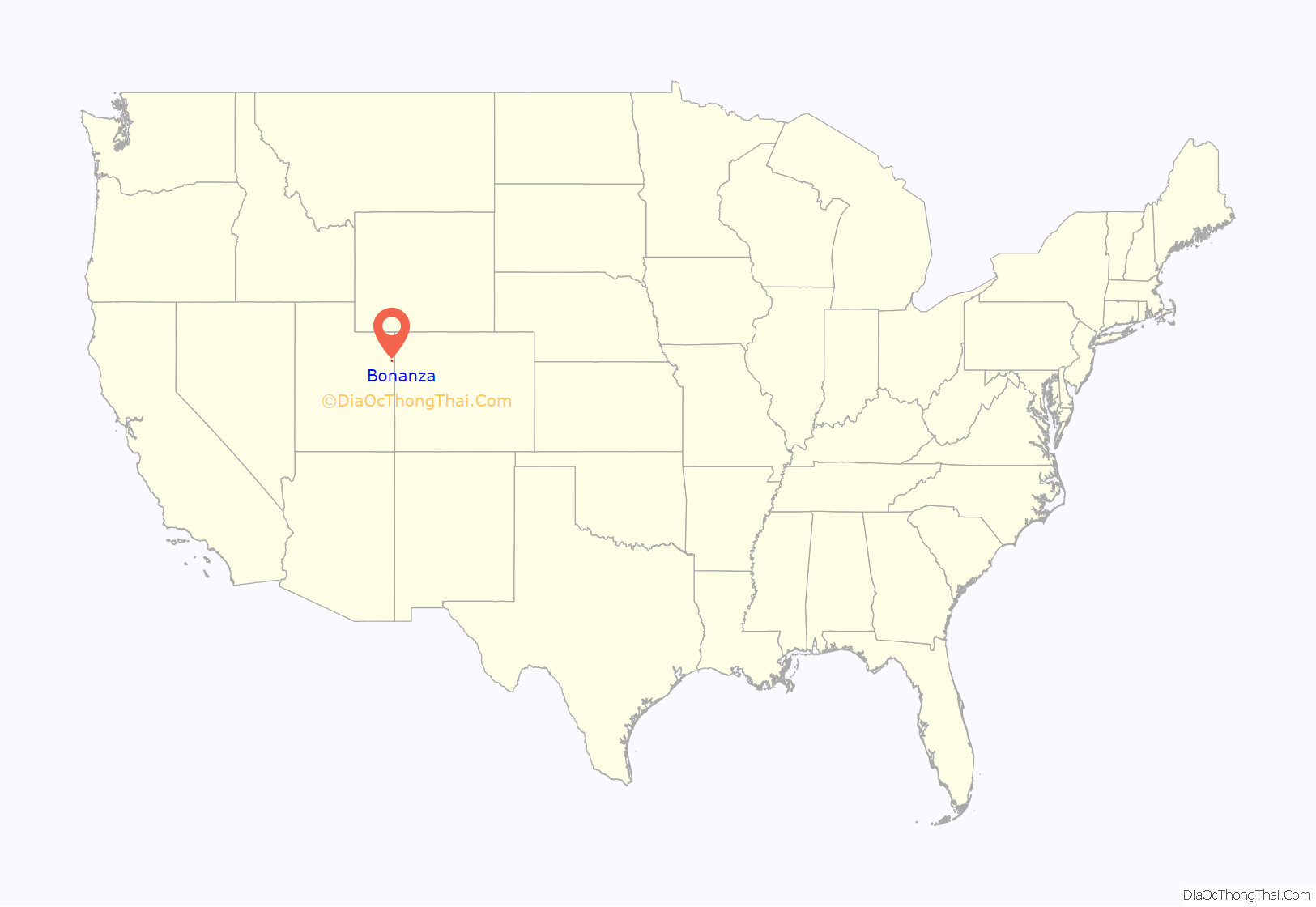
Bonanza location map. Where is Bonanza CDP?
History
Bonanza was established in 1888. The basis for establishing the community was a discovery of Gilsonite, a natural asphalt substance.
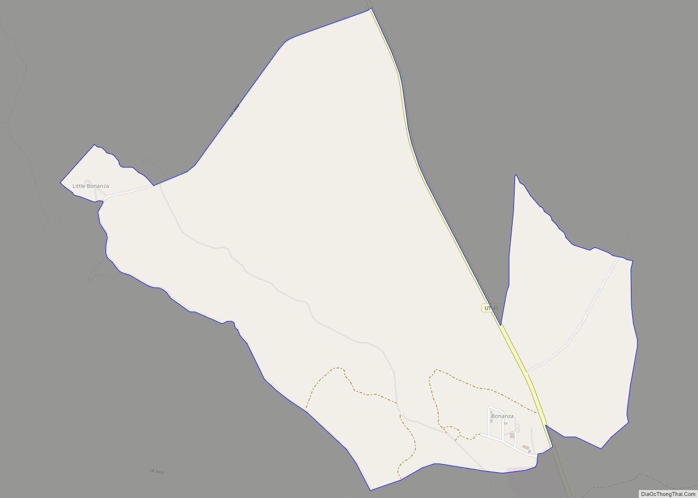
Bonanza Road Map
Bonanza city Satellite Map
Geography
Bonanza is 212 miles (341 km) southeast of Salt Lake City and is located on State Route 45.
Climate
According to the Köppen Climate Classification system, Bonanza has a semi-arid climate, abbreviated “BSk” on climate maps.
See also
Map of Utah State and its subdivision: Map of other states:- Alabama
- Alaska
- Arizona
- Arkansas
- California
- Colorado
- Connecticut
- Delaware
- District of Columbia
- Florida
- Georgia
- Hawaii
- Idaho
- Illinois
- Indiana
- Iowa
- Kansas
- Kentucky
- Louisiana
- Maine
- Maryland
- Massachusetts
- Michigan
- Minnesota
- Mississippi
- Missouri
- Montana
- Nebraska
- Nevada
- New Hampshire
- New Jersey
- New Mexico
- New York
- North Carolina
- North Dakota
- Ohio
- Oklahoma
- Oregon
- Pennsylvania
- Rhode Island
- South Carolina
- South Dakota
- Tennessee
- Texas
- Utah
- Vermont
- Virginia
- Washington
- West Virginia
- Wisconsin
- Wyoming
