Cedar Hills is a city in north-central Utah County, Utah, United States. The population was 9,796 at the 2010 census, up from 3,094 in 2000. The city began growing rapidly during the 1990s and is located eastof Alpine and Highland on the slopes of Mount Timpanogos.
| Name: | Cedar Hills city |
|---|---|
| LSAD Code: | 25 |
| LSAD Description: | city (suffix) |
| State: | Utah |
| County: | Utah County |
| Founded: | 1974 |
| Elevation: | 4,957 ft (1,511 m) |
| Total Area: | 2.73 sq mi (7.06 km²) |
| Land Area: | 2.73 sq mi (7.06 km²) |
| Water Area: | 0.00 sq mi (0.00 km²) |
| Total Population: | 9,796 |
| Population Density: | 3,698.83/sq mi (1,428.24/km²) |
| ZIP code: | 84062 |
| Area code: | 385, 801 |
| FIPS code: | 4911440 |
| GNISfeature ID: | 1455858 |
| Website: | www.cedarhills.org |
Online Interactive Map
Click on ![]() to view map in "full screen" mode.
to view map in "full screen" mode.
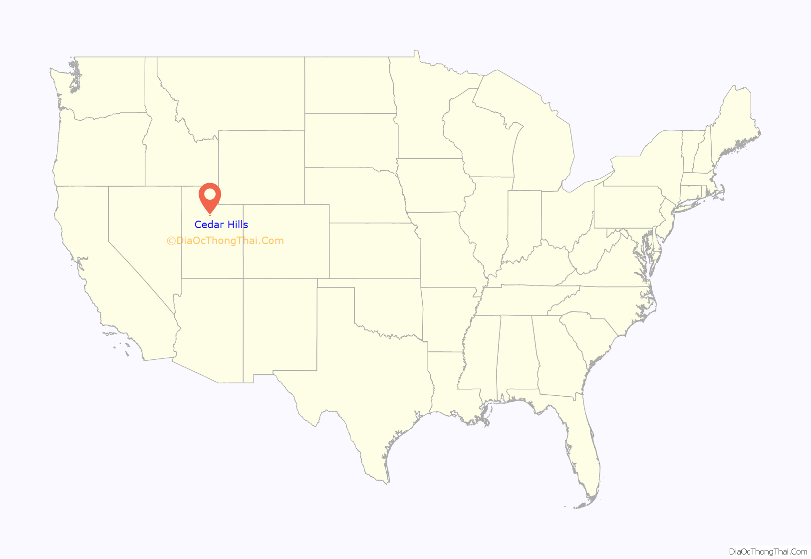
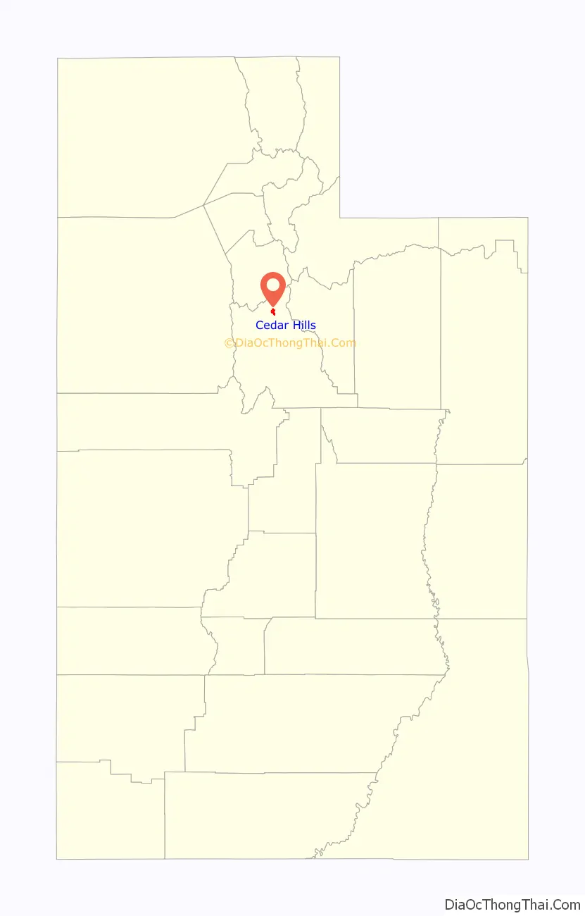
Cedar Hills location map. Where is Cedar Hills city?
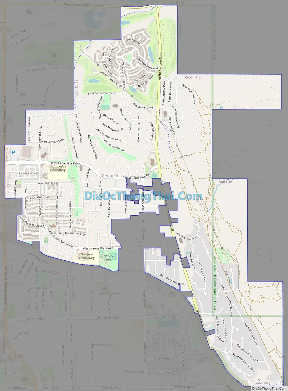
Cedar Hills Road Map
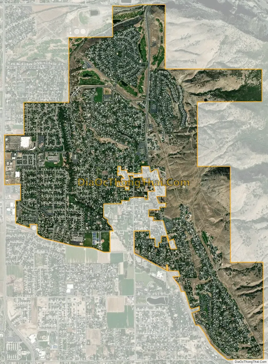
Cedar Hills city Satellite Map
Geography
According to the United States Census Bureau, the city has a total area of 2.7 square miles (7.1 km), all land.
See also
Map of Utah State and its subdivision: Map of other states:- Alabama
- Alaska
- Arizona
- Arkansas
- California
- Colorado
- Connecticut
- Delaware
- District of Columbia
- Florida
- Georgia
- Hawaii
- Idaho
- Illinois
- Indiana
- Iowa
- Kansas
- Kentucky
- Louisiana
- Maine
- Maryland
- Massachusetts
- Michigan
- Minnesota
- Mississippi
- Missouri
- Montana
- Nebraska
- Nevada
- New Hampshire
- New Jersey
- New Mexico
- New York
- North Carolina
- North Dakota
- Ohio
- Oklahoma
- Oregon
- Pennsylvania
- Rhode Island
- South Carolina
- South Dakota
- Tennessee
- Texas
- Utah
- Vermont
- Virginia
- Washington
- West Virginia
- Wisconsin
- Wyoming


