Highland is a city in Utah County, Utah, United States. It is approximately 30 miles (48 km) south of Salt Lake City and is part of the Provo–Orem Metropolitan Statistical Area. According to the 2010 census the population was 15,523, a 90.0% increase over the 2000 figure of 8,172.
| Name: | Highland city |
|---|---|
| LSAD Code: | 25 |
| LSAD Description: | city (suffix) |
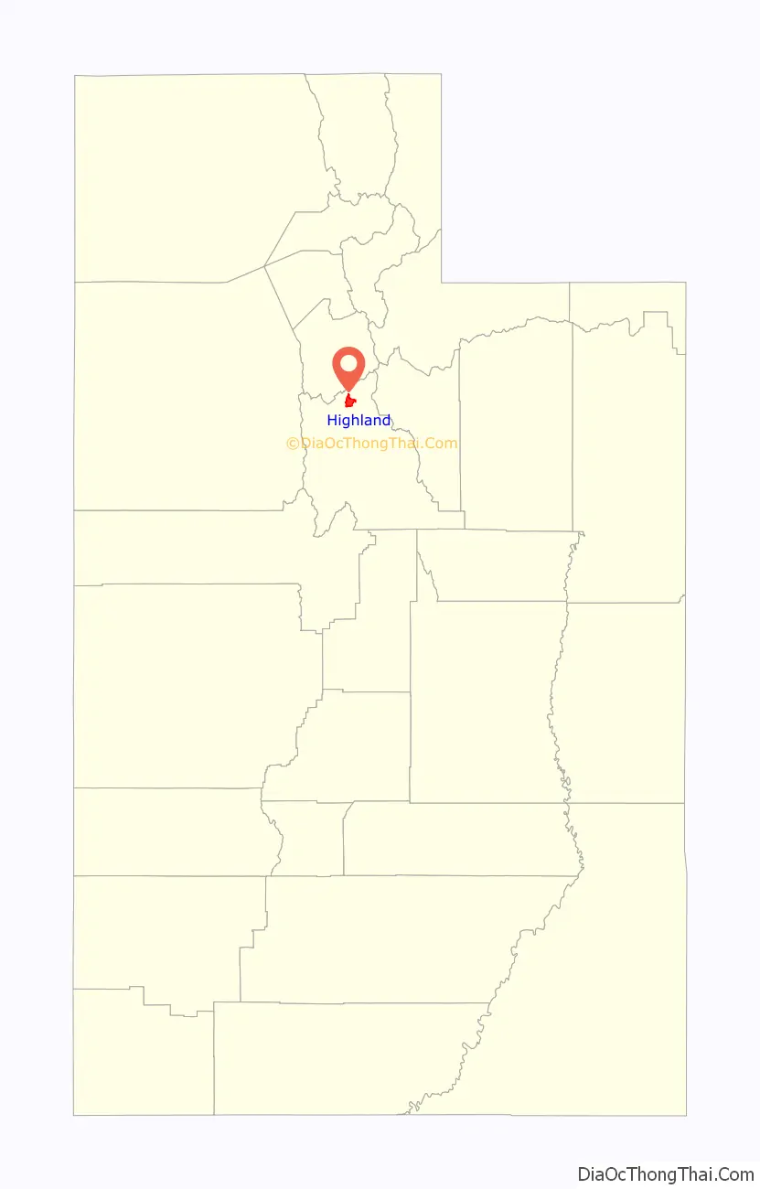
| State: | Utah |
| County: | Utah County |
| Incorporated: | July 13, 1977 |
| Elevation: | 4,977 ft (1,517 m) |
| Total Area: | 8.64 sq mi (22.39 km²) |
| Land Area: | 8.64 sq mi (22.39 km²) |
| Water Area: | 0.00 sq mi (0.00 km²) |
| Total Population: | 15,523 |
| Population Density: | 2,218.30/sq mi (856.48/km²) |
| ZIP code: | 84003 |
| Area code: | 385, 801 |
| FIPS code: | 4935190 |
| GNISfeature ID: | 1448472 |
| Website: | www.highlandcity.org |
Online Interactive Map
Click on ![]() to view map in "full screen" mode.
to view map in "full screen" mode.
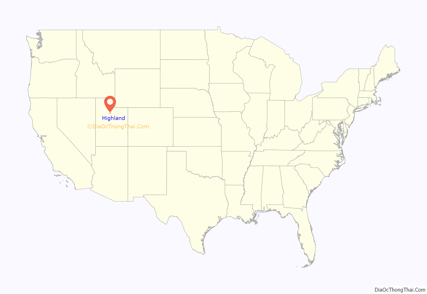
Highland location map. Where is Highland city?
History
Highland was settled by homesteaders in the 1870s. It was named by Scottish Mormon immigrants who felt the area resembled the highlands of Scotland.
Highland Road Map
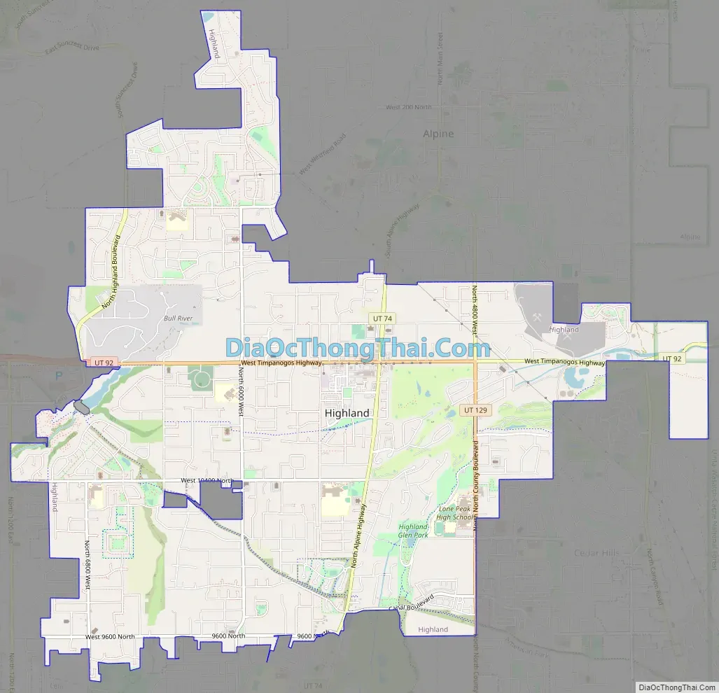
Highland city Satellite Map

Geography
According to the United States Census Bureau, the city has a total area of 8.5 square miles (22.1 km), all land.
See also
Map of Utah State and its subdivision: Map of other states:- Alabama
- Alaska
- Arizona
- Arkansas
- California
- Colorado
- Connecticut
- Delaware
- District of Columbia
- Florida
- Georgia
- Hawaii
- Idaho
- Illinois
- Indiana
- Iowa
- Kansas
- Kentucky
- Louisiana
- Maine
- Maryland
- Massachusetts
- Michigan
- Minnesota
- Mississippi
- Missouri
- Montana
- Nebraska
- Nevada
- New Hampshire
- New Jersey
- New Mexico
- New York
- North Carolina
- North Dakota
- Ohio
- Oklahoma
- Oregon
- Pennsylvania
- Rhode Island
- South Carolina
- South Dakota
- Tennessee
- Texas
- Utah
- Vermont
- Virginia
- Washington
- West Virginia
- Wisconsin
- Wyoming


