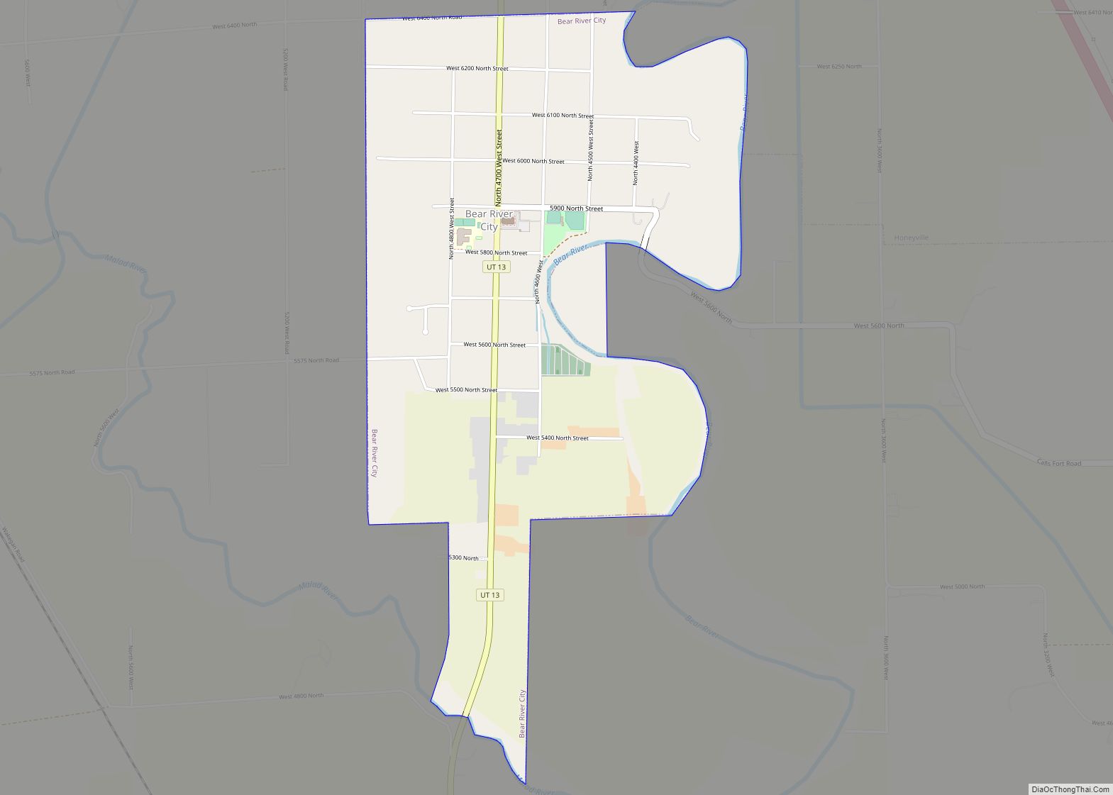
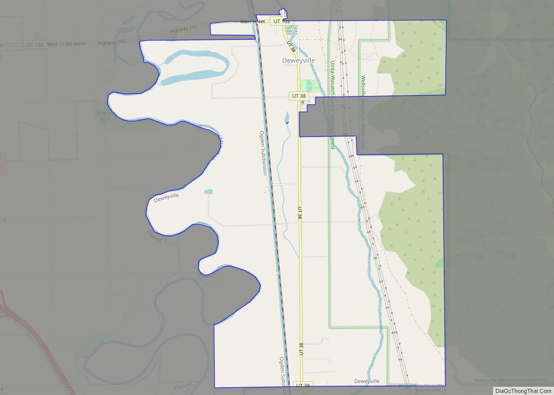
Deweyville is a town in Box Elder County, Utah, United States. The population was 417 at the 2020 census, up from the 2010 figure of 332.
| Name: | Deweyville town |
|---|---|
| LSAD Code: | 43 |
| LSAD Description: | town (suffix) |
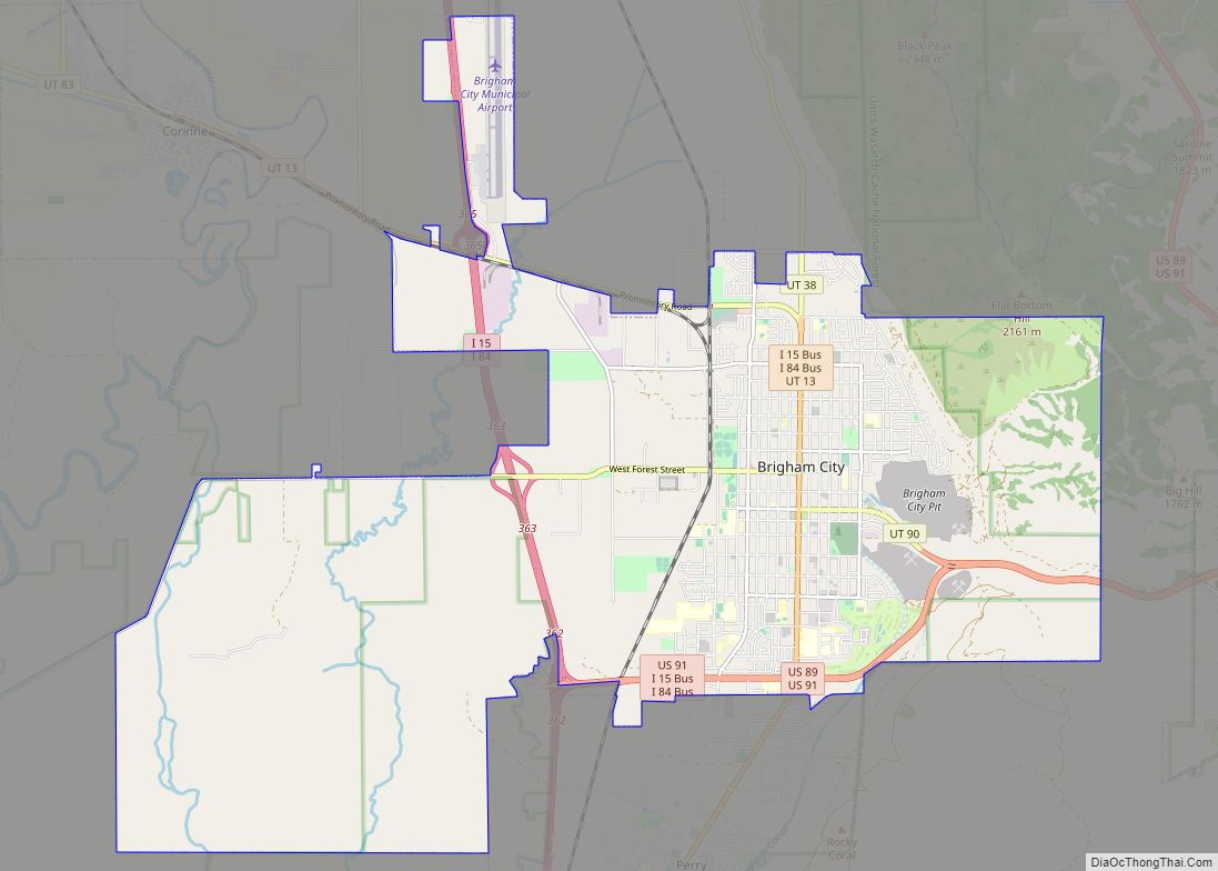
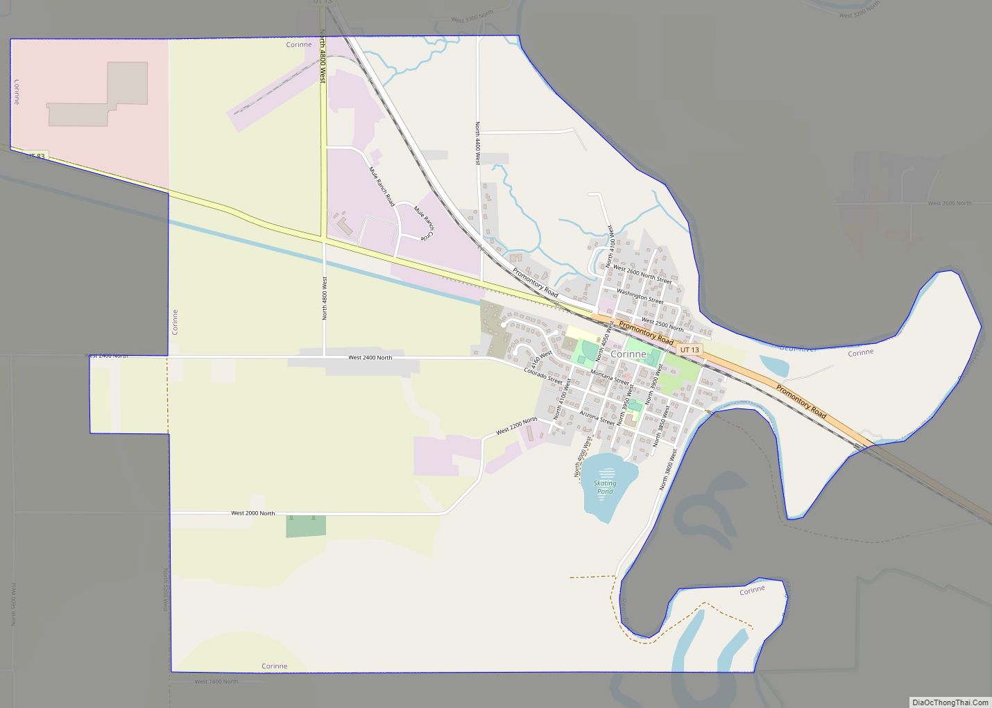
| State: | Utah |
| County: | Box Elder County |
| Founded: | 1864 |
| Incorporated: | March 7, 1939 |
| Elevation: | 4,337 ft (1,322 m) |
| Total Area: | 6.38 sq mi (16.52 km²) |
| Land Area: | 6.38 sq mi (16.52 km²) |
| Water Area: | 0.00 sq mi (0.00 km²) |
| Total Population: | 417 |
| Population Density: | 65/sq mi (25/km²) |
| ZIP code: | 84309 |
| Area code: | 435 |
| FIPS code: | 4919680 |
| GNISfeature ID: | 1455092 |
| Website: | http://www.townofdeweyville.org/ |
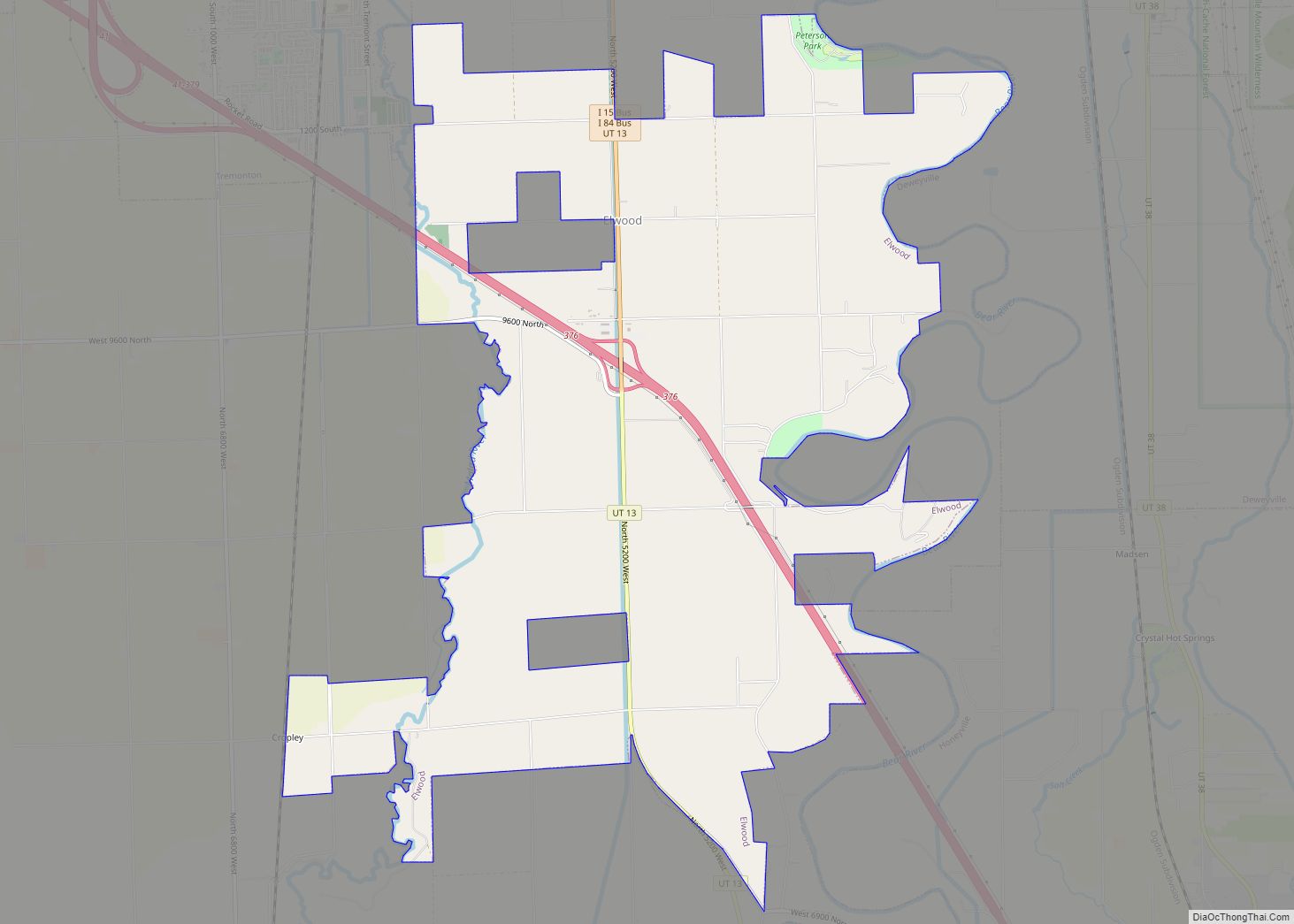
Online Interactive Map
Click on ![]() to view map in "full screen" mode.
to view map in "full screen" mode.
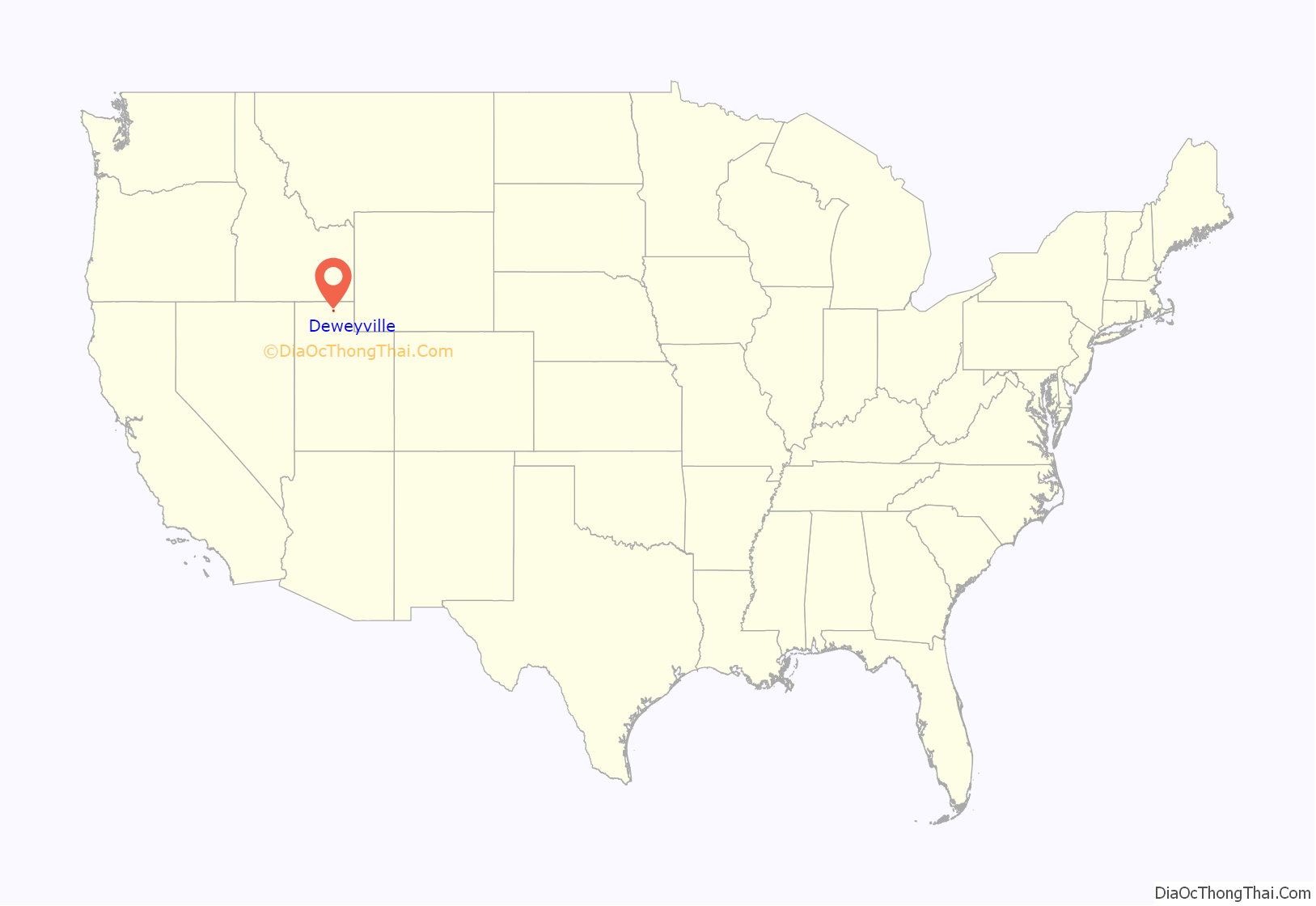
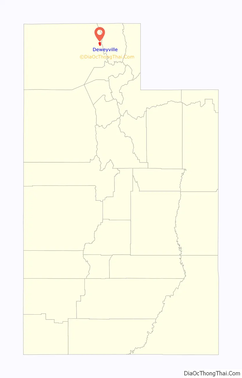
Deweyville location map. Where is Deweyville town?
History
On March 14, 1864, the John C. Dewey family, Mormon pioneer immigrants from England, left Calls Fort, Utah, and settled at Empey Springs, an area originally settled by William Empey. Empey Springs became known as Dewey Springs. Other settlers soon moved to the area.
John C. Dewey directed many community activities, including the construction of a school house in 1869 and a Sunday school in 1872. The schoolhouse served as a community center where dances were commonly held. A post office was established in 1873, with John C. Dewey as the Postmaster. In 1877, a LDS Church Ward was organized, with John C. Dewey as Bishop.
Deweyville was a stop on the Utah Northern Railroad. The Oregon Short Line Railroad took over the Utah Northern Line in 1874 and converted the tracks to standard gauge. The town served as the main shipping point for the Bear River Valley until 1901. This, along with the construction of the Bothwell and Hammond Canals, contributed to significant business development. Saloons, a brewery, two boarding houses, a barber shop, and lumber, hardware, and merchandise businesses were opened.
On March 7, 1939, Deweyville was granted a municipal charter by the Box Elder County.
In 1941, a water system was installed. This was one of the last Public Works Administration projects completed in Utah.
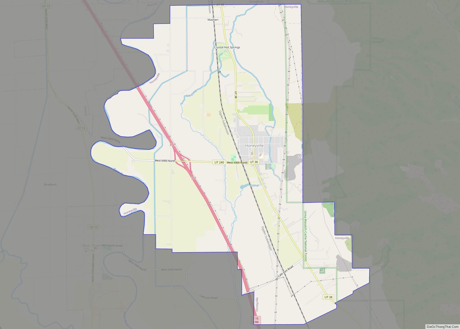
Deweyville Road Map
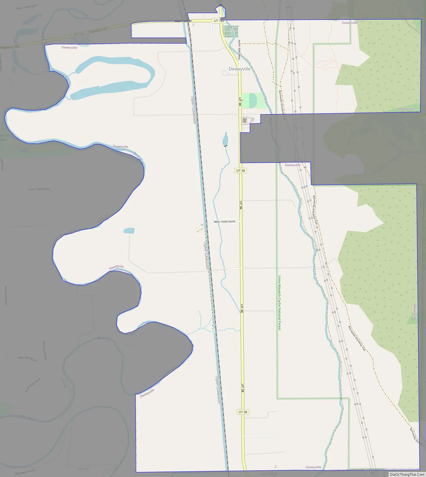
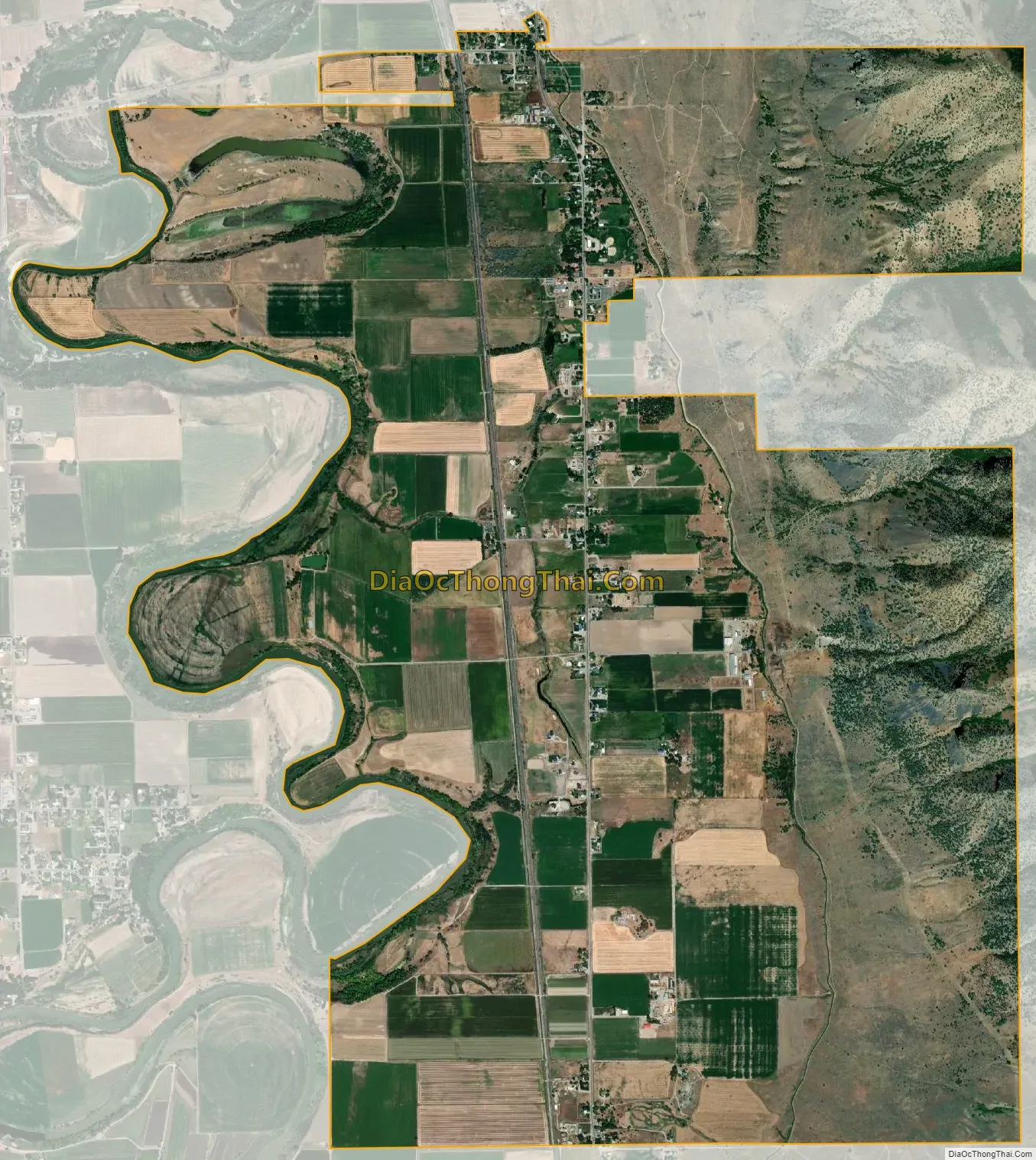
Deweyville city Satellite Map
Geography
According to the United States Census Bureau, the town has a total area of 6.4 square miles (17 square kilometres), all land. Much of what the local population refers to as Deweyville is actually land outside the town boundaries, located in unincorporated Box Elder County. This includes the Cedar Ridge Subdivision, a 26-house development located 1.6 miles north of incorporated Deweyville.
The town is also known for its unique location adjacent to the Wasatch Range – the steepest mountain range in the country based on the height-to-base ratio. The Deweyville portion of the western slopes of the Wasatch is home to several notable geologic and natural destinations, including Gribble Arch, Lizzy’s Landing, The Easter Caves, and The Cedar Trees. Chocolate Peak in northern Deweyville was the location of numerous winter Hillclimb attempts in the late 20th and early 21st centuries.
See also
Map of Utah State and its subdivision: Map of other states:- Alabama
- Alaska
- Arizona
- Arkansas
- California
- Colorado
- Connecticut
- Delaware
- District of Columbia
- Florida
- Georgia
- Hawaii
- Idaho
- Illinois
- Indiana
- Iowa
- Kansas
- Kentucky
- Louisiana
- Maine
- Maryland
- Massachusetts
- Michigan
- Minnesota
- Mississippi
- Missouri
- Montana
- Nebraska
- Nevada
- New Hampshire
- New Jersey
- New Mexico
- New York
- North Carolina
- North Dakota
- Ohio
- Oklahoma
- Oregon
- Pennsylvania
- Rhode Island
- South Carolina
- South Dakota
- Tennessee
- Texas
- Utah
- Vermont
- Virginia
- Washington
- West Virginia
- Wisconsin
- Wyoming