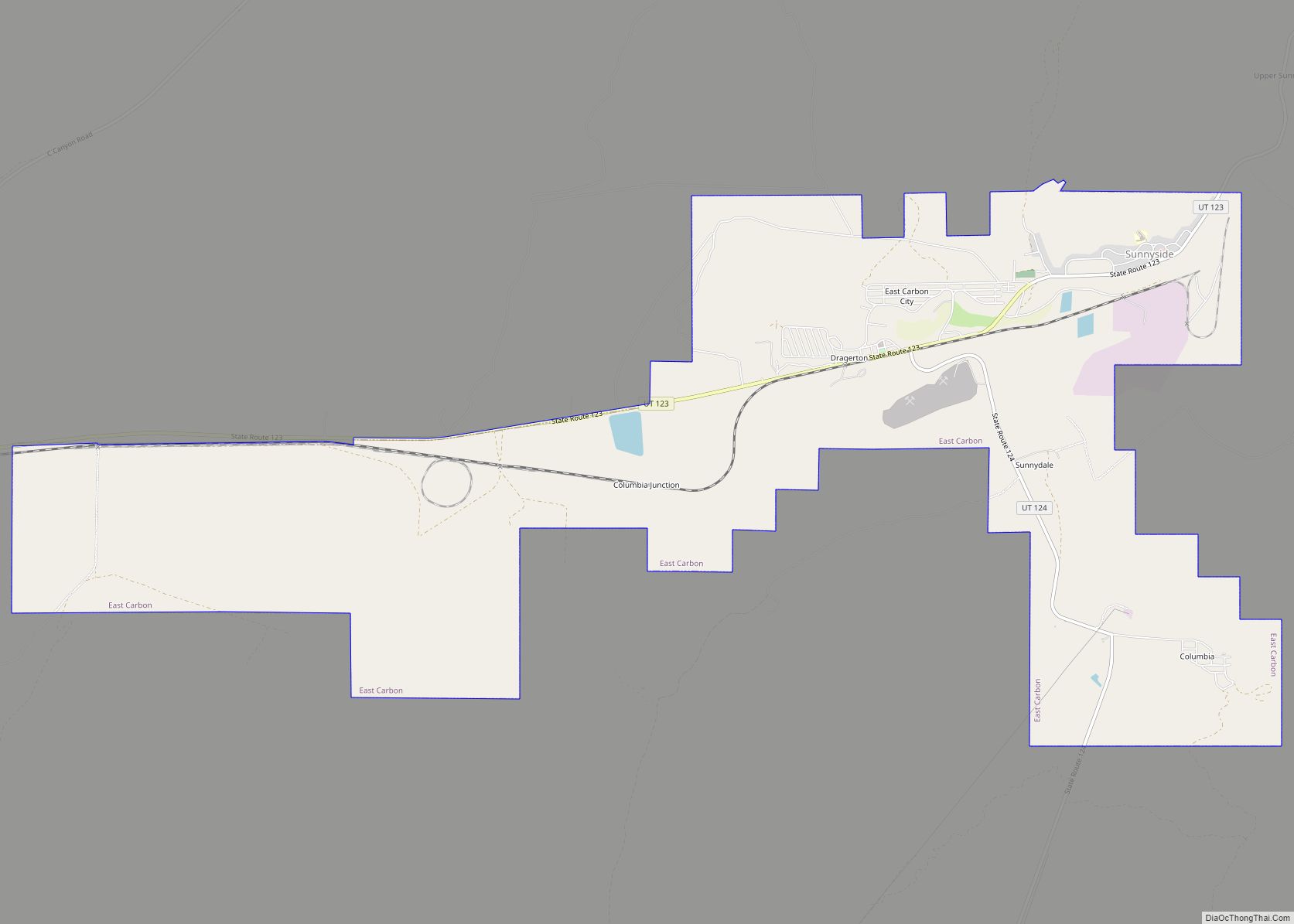
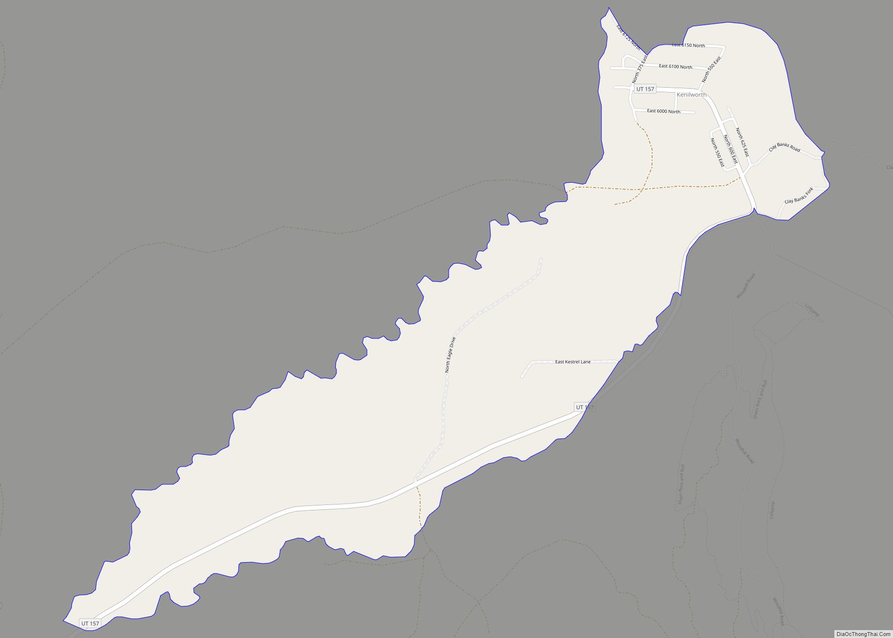
East Carbon is a city in Carbon County, Utah, United States. The population was 1,301 at the 2010 census. East Carbon was incorporated on July 23, 1973, from the merger of the two struggling mining towns of Dragerton and Columbia. On January 1, 2014, the city annexed the neighboring city of Sunnyside.
| Name: | East Carbon city |
|---|---|
| LSAD Code: | 25 |
| LSAD Description: | city (suffix) |
| State: | Utah |
| County: | Carbon County |
| Incorporated: | July 23, 1973 |
| Elevation: | 5,987 ft (1,825 m) |
| Total Area: | 11.30 sq mi (29.26 km²) |
| Land Area: | 11.29 sq mi (29.25 km²) |
| Water Area: | 0.01 sq mi (0.02 km²) |
| Total Population: | 1,301 |
| Population Density: | 140.26/sq mi (54.16/km²) |
| ZIP code: | 84520 |
| Area code: | 435 |
| FIPS code: | 4920890 |
| GNISfeature ID: | 2410386 |
| Website: | www.eastcarboncity.org |
Online Interactive Map
Click on ![]() to view map in "full screen" mode.
to view map in "full screen" mode.
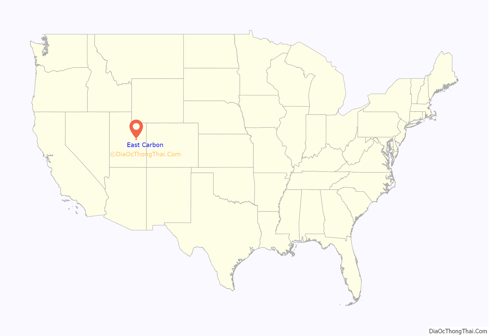
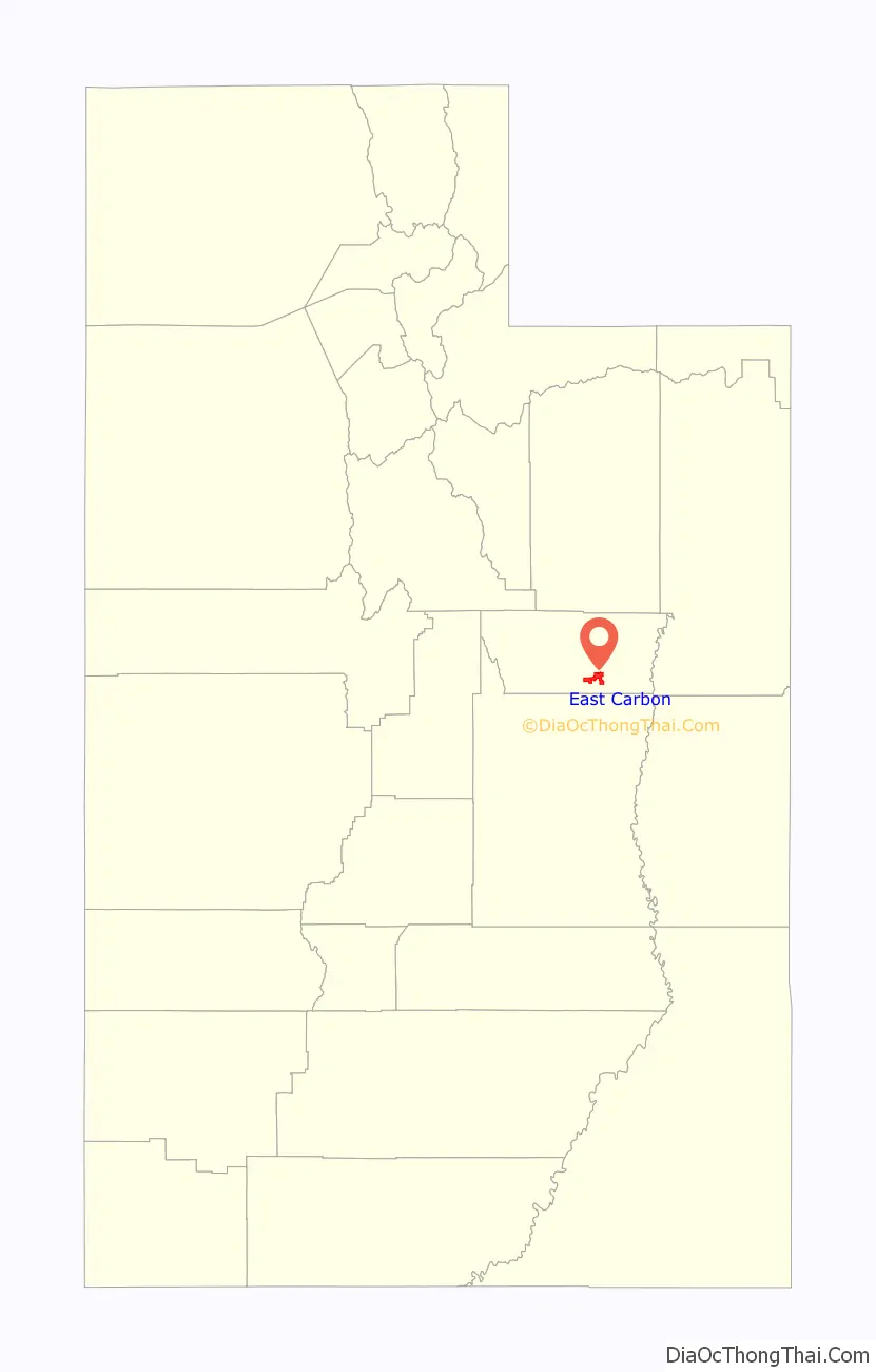
East Carbon location map. Where is East Carbon city?
History
East Carbon City began in the fall of 1942 when the U.S. government – through the Defense Plant Corporation – awarded a contract to the W.E. Ryberg-Strong-Grant Corporation of Springville, Utah to develop the town at a planned cost of $5 million, to house coal miners working in the mines of the Geneva Steel mill and their families. It was originally named “Drager”, after W.L. Drager, chief engineer for the Defense Plant Corporation, who was raised in Utah and later moved to Washington, D.C.
On September 9, 1942, the Post Office moved into its new building, and during the ceremonies, Postmistress Agnes Scow announced the U.S Post Office Department would not allow the name of Drager. It contended that Drager was too similar to the name Draper (another Utah community) and would create confusion and delays in mail delivery. A selected group of citizens gathered in the school auditorium to discuss a new name from the proposals of “Dragerville”, “Dragervale” or “Drager Town” offered by the Post Office Department. “Dragerton”, a derivative of “Drager-town”, was selected.
Dragerton was purchased in the spring of 1947 by the Geneva Steel Company, which had by then become a subsidiary of U.S. Steel, for $1,553,000. The former government town had now become a company town. There were 605 modern buildings.
In 1959, with the area near its peak population, the Carbon School District built a high school in the area. The school was placed on land within the Sunnyside city limits that bordered Dragerton. The land was donated by Kaiser Steel, a local mining company. In 1958, during an assembly at East Carbon Junior High School, a vote was taken to give the new high school a name and mascot. The name selected was East Carbon High School, and the mascot was a Viking. The school colors were blue, white and red.
When the town was incorporated in 1973, the name was officially changed to “East Carbon City”, matching the high school name.
In 2005, the high school was closed and demolished before the beginning of the new school year. Bruin Point Elementary School was built the following year and is the only school serving the area of East Carbon.
East Carbon Road Map
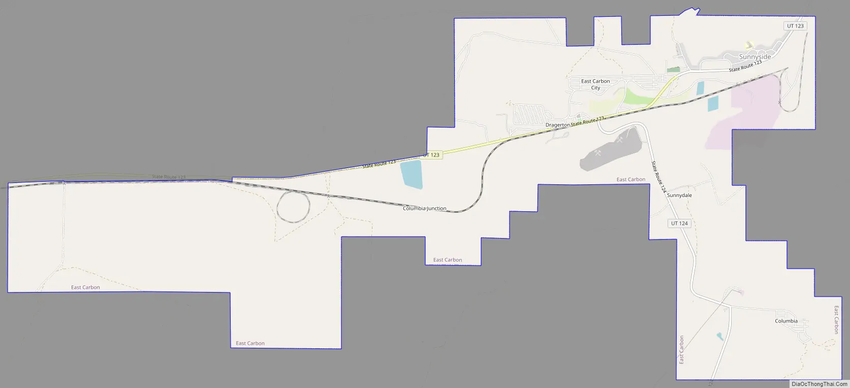
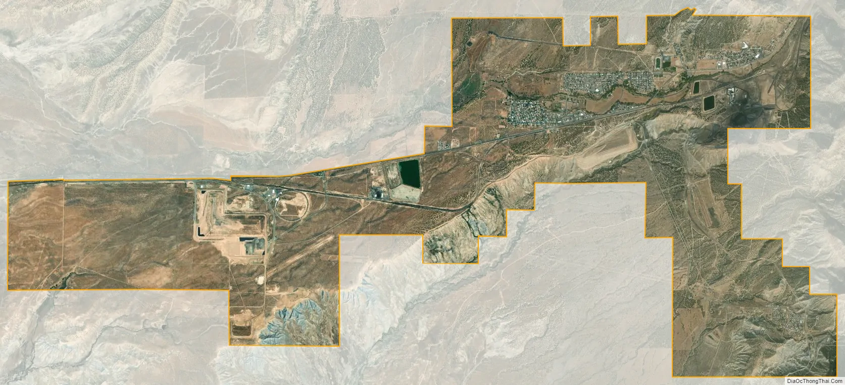
East Carbon city Satellite Map
Geography
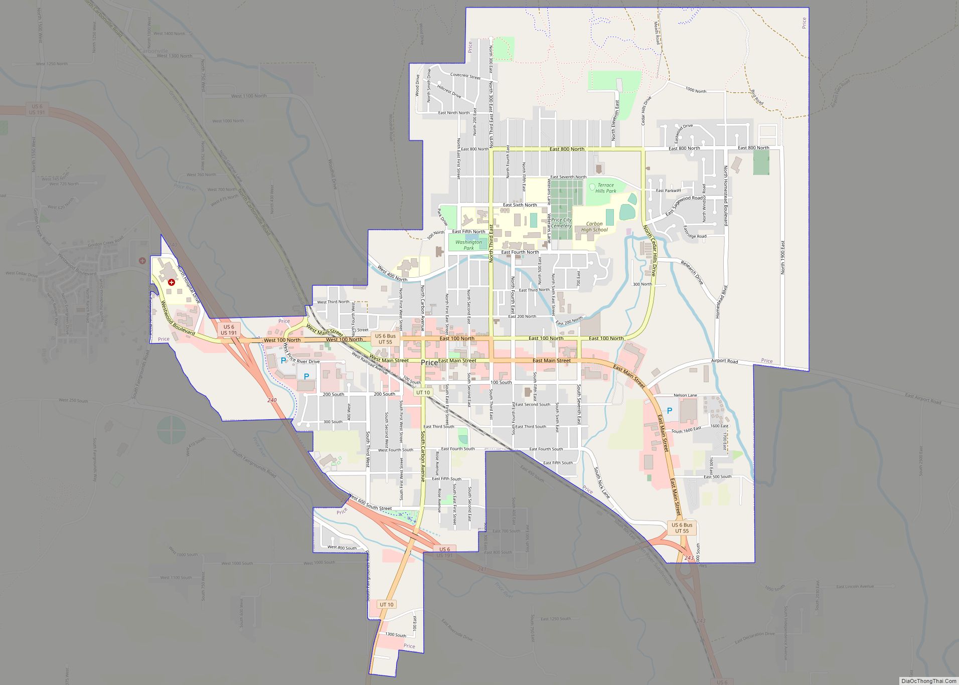
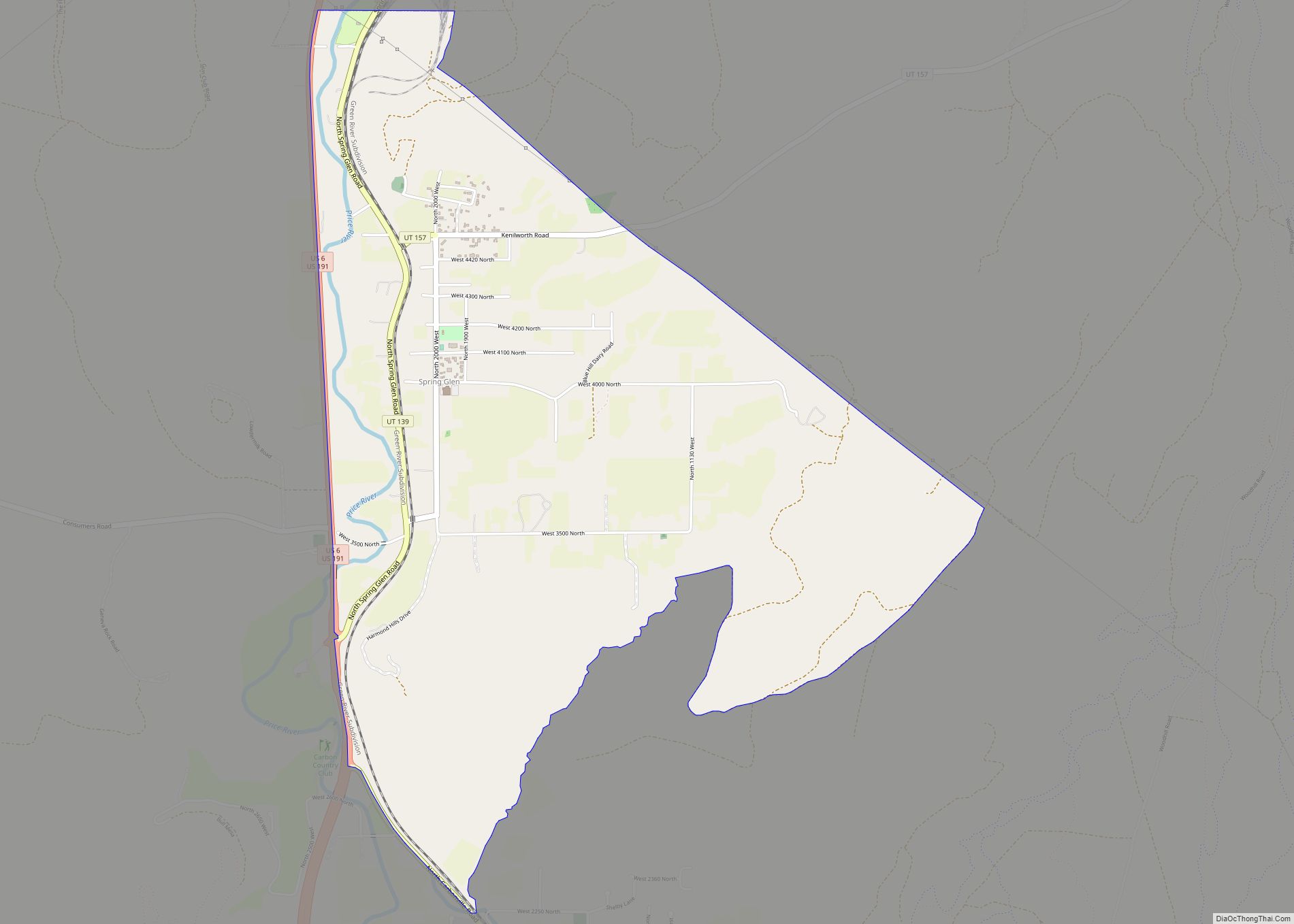
East Carbon is located southeast of the center of Carbon County at 39°32′33″N 110°25′08″W / 39.542569°N 110.418934°W / 39.542569; -110.418934 (39.542569, -110.418934). It is 23 miles (37 km) east of Price, the county seat.
According to the United States Census Bureau, the city had a total area of 9.0 square miles (23.2 km), of which 0.01 square miles (0.02 km), or 0.07%, was water.
See also
Map of Utah State and its subdivision: Map of other states:- Alabama
- Alaska
- Arizona
- Arkansas
- California
- Colorado
- Connecticut
- Delaware
- District of Columbia
- Florida
- Georgia
- Hawaii
- Idaho
- Illinois
- Indiana
- Iowa
- Kansas
- Kentucky
- Louisiana
- Maine
- Maryland
- Massachusetts
- Michigan
- Minnesota
- Mississippi
- Missouri
- Montana
- Nebraska
- Nevada
- New Hampshire
- New Jersey
- New Mexico
- New York
- North Carolina
- North Dakota
- Ohio
- Oklahoma
- Oregon
- Pennsylvania
- Rhode Island
- South Carolina
- South Dakota
- Tennessee
- Texas
- Utah
- Vermont
- Virginia
- Washington
- West Virginia
- Wisconsin
- Wyoming