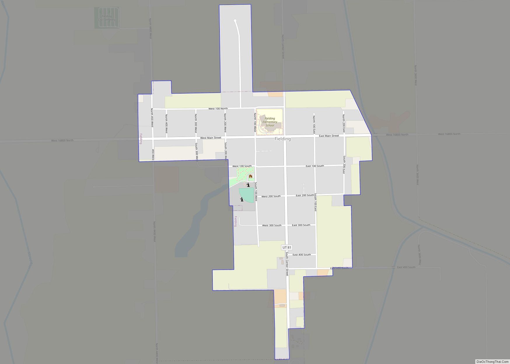
Fielding is a town in Box Elder County, Utah, United States. The population was 455 at the 2010 census.
| Name: | Fielding town |
|---|---|
| LSAD Code: | 43 |
| LSAD Description: | town (suffix) |
| State: | Utah |
| County: | Box Elder County |
| Founded: | 1892 |
| Incorporated: | 1911 |
| Elevation: | 4,373 ft (1,333 m) |
| Total Area: | 0.51 sq mi (1.32 km²) |
| Land Area: | 0.51 sq mi (1.32 km²) |
| Water Area: | 0.00 sq mi (0.00 km²) |
| Total Population: | 455 |
| Population Density: | 945.10/sq mi (364.65/km²) |
| ZIP code: | 84311 |
| Area code: | 435 |
| FIPS code: | 4925290 |
| GNISfeature ID: | 1441035 |
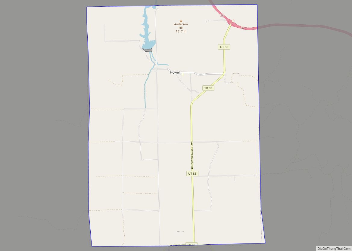
Online Interactive Map
Click on ![]() to view map in "full screen" mode.
to view map in "full screen" mode.
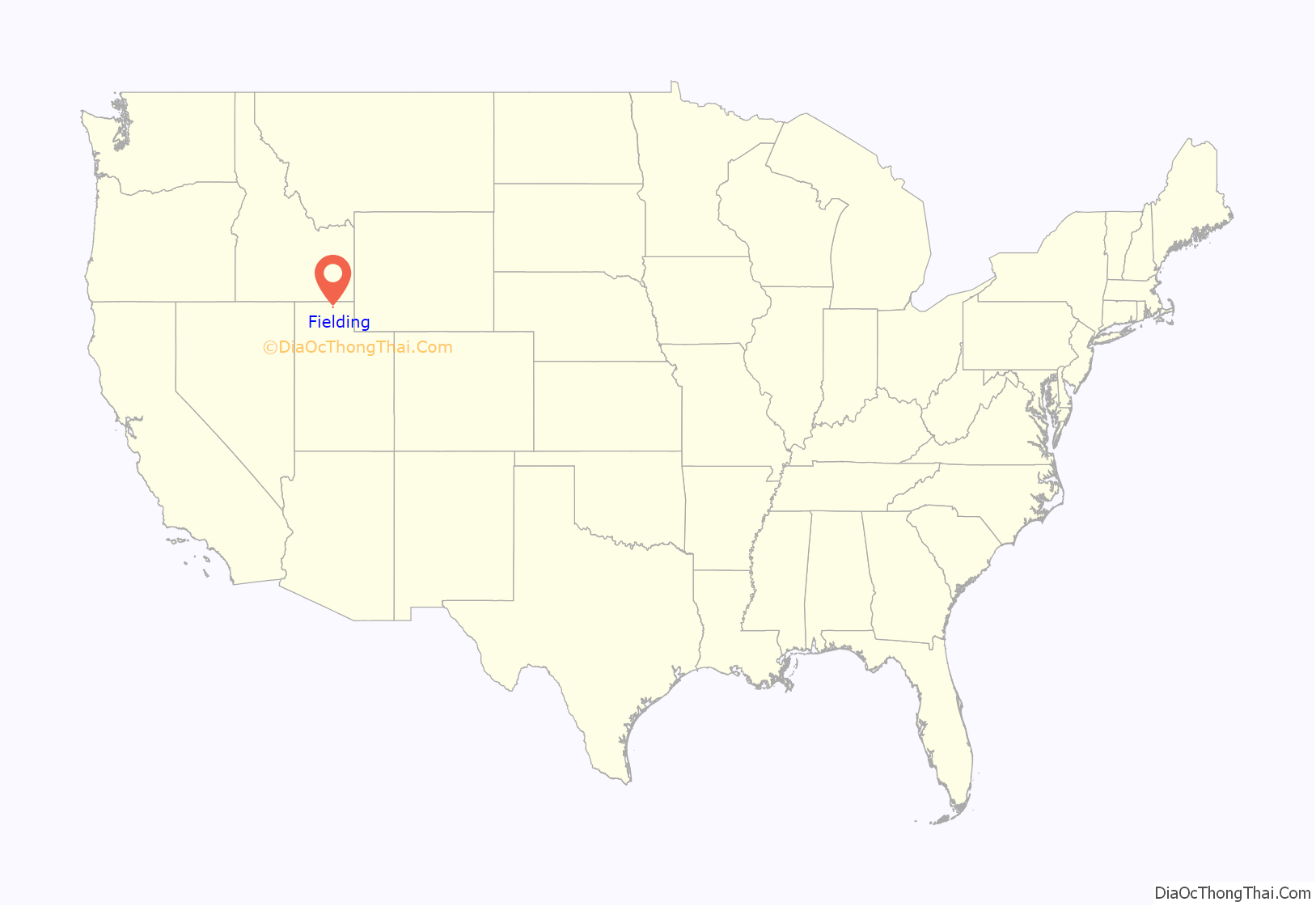
Fielding location map. Where is Fielding town?
History
A post office called Fielding has been in operation since 1892. The town was named after Joseph Fielding Smith, Sr. (1838–1918), sixth president of the LDS Church, specifically his mother’s (Mary Fielding Smith’s) maiden name.
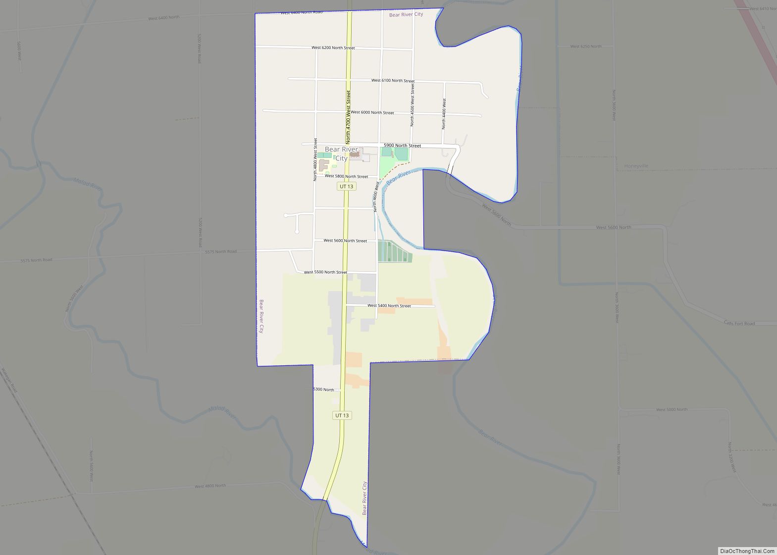
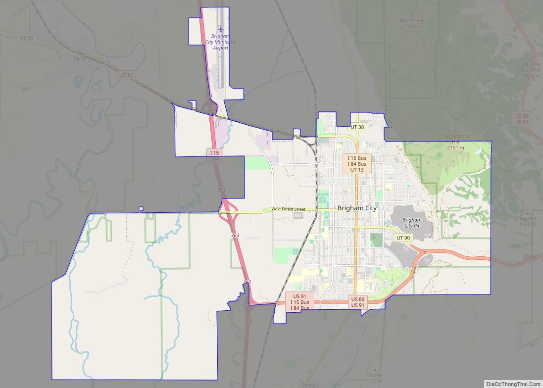
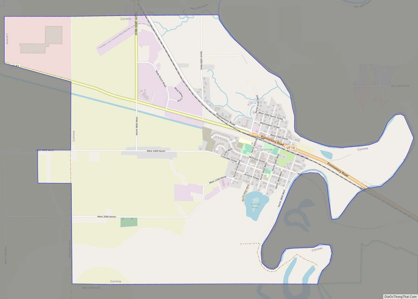
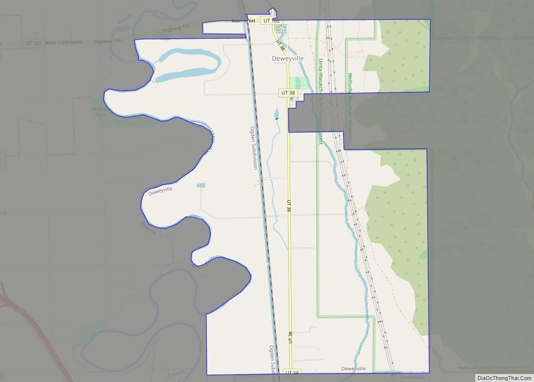
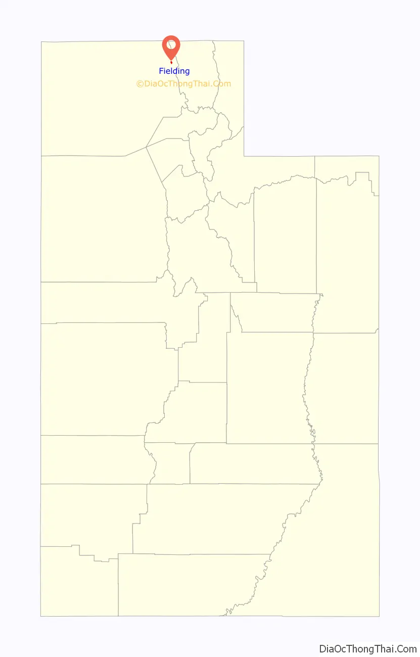
Fielding Road Map
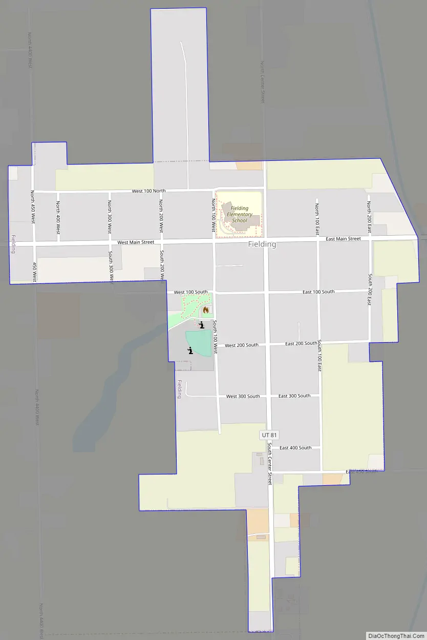
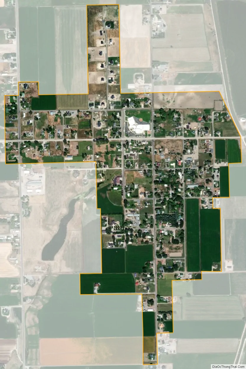
Fielding city Satellite Map
Geography
According to the United States Census Bureau, the town has a total area of 0.4 square mile (1.1 km), all land.
See also
Map of Utah State and its subdivision: Map of other states:- Alabama
- Alaska
- Arizona
- Arkansas
- California
- Colorado
- Connecticut
- Delaware
- District of Columbia
- Florida
- Georgia
- Hawaii
- Idaho
- Illinois
- Indiana
- Iowa
- Kansas
- Kentucky
- Louisiana
- Maine
- Maryland
- Massachusetts
- Michigan
- Minnesota
- Mississippi
- Missouri
- Montana
- Nebraska
- Nevada
- New Hampshire
- New Jersey
- New Mexico
- New York
- North Carolina
- North Dakota
- Ohio
- Oklahoma
- Oregon
- Pennsylvania
- Rhode Island
- South Carolina
- South Dakota
- Tennessee
- Texas
- Utah
- Vermont
- Virginia
- Washington
- West Virginia
- Wisconsin
- Wyoming