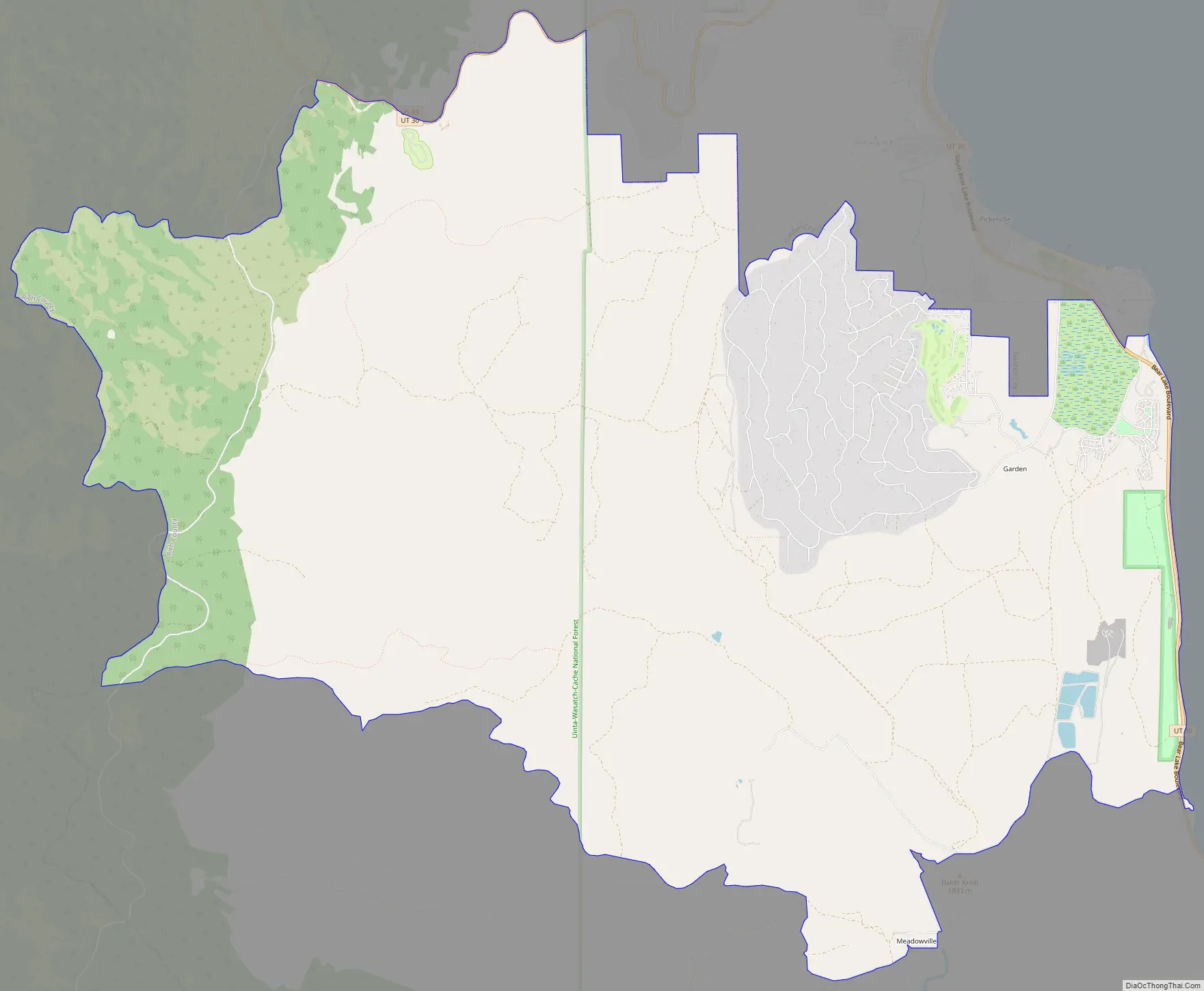
Garden is a census-designated place (CDP) in Rich County, Utah, United States. It includes the southernmost subdivision of Garden City at its northeast and the hamlet of Meadowville at its southeast; otherwise it is farmland. The population was 181 at the 2010 census.
| Name: | Garden CDP |
|---|---|
| LSAD Code: | 57 |
| LSAD Description: | CDP (suffix) |
| State: | Utah |
| County: | Rich County |
| Elevation: | 6,004 ft (1,830 m) |
| Total Area: | 28.3 sq mi (73.3 km²) |
| Land Area: | 28.3 sq mi (73.3 km²) |
| Water Area: | 0.0 sq mi (0.0 km²) |
| Total Population: | 181 |
| Population Density: | 2.9/sq mi (1.1/km²) |
| FIPS code: | 4927902 |
| GNISfeature ID: | 1852443 |
Online Interactive Map
Click on ![]() to view map in "full screen" mode.
to view map in "full screen" mode.
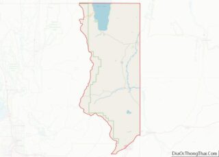
Garden location map. Where is Garden CDP?
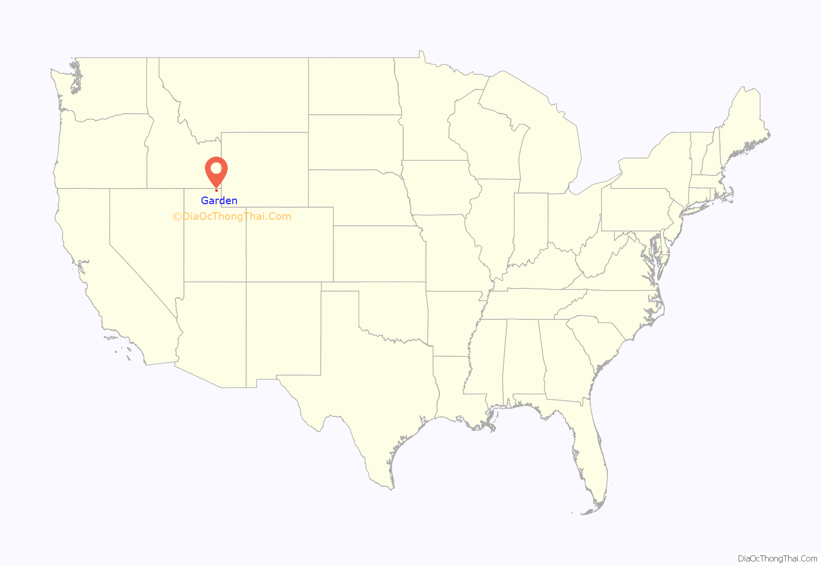
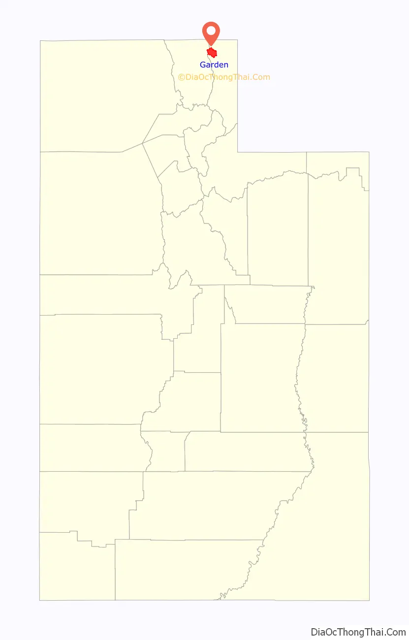
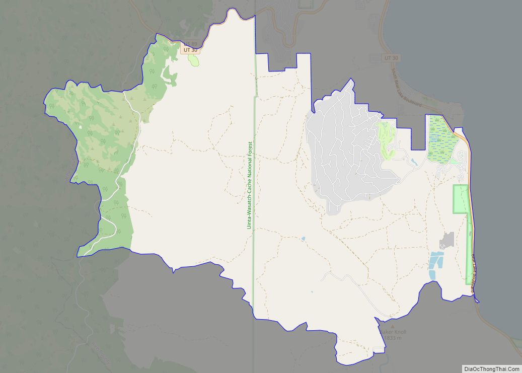
Garden Road Map
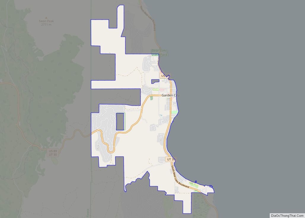
Garden city Satellite Map

Geography
As defined by the United States Census Bureau, the CDP has a total area of 28.3 square miles (73.3 km), of which 28.3 square miles (73.3 km) is land and 0.04 square mile (0.1 km) (0.07%) is water.
See also
Map of Utah State and its subdivision: Map of other states:- Alabama
- Alaska
- Arizona
- Arkansas
- California
- Colorado
- Connecticut
- Delaware
- District of Columbia
- Florida
- Georgia
- Hawaii
- Idaho
- Illinois
- Indiana
- Iowa
- Kansas
- Kentucky
- Louisiana
- Maine
- Maryland
- Massachusetts
- Michigan
- Minnesota
- Mississippi
- Missouri
- Montana
- Nebraska
- Nevada
- New Hampshire
- New Jersey
- New Mexico
- New York
- North Carolina
- North Dakota
- Ohio
- Oklahoma
- Oregon
- Pennsylvania
- Rhode Island
- South Carolina
- South Dakota
- Tennessee
- Texas
- Utah
- Vermont
- Virginia
- Washington
- West Virginia
- Wisconsin
- Wyoming