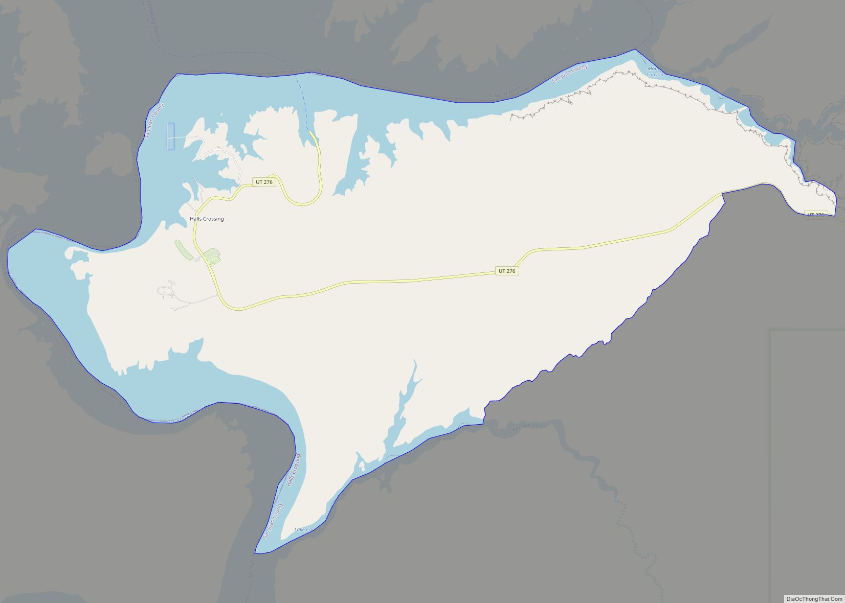
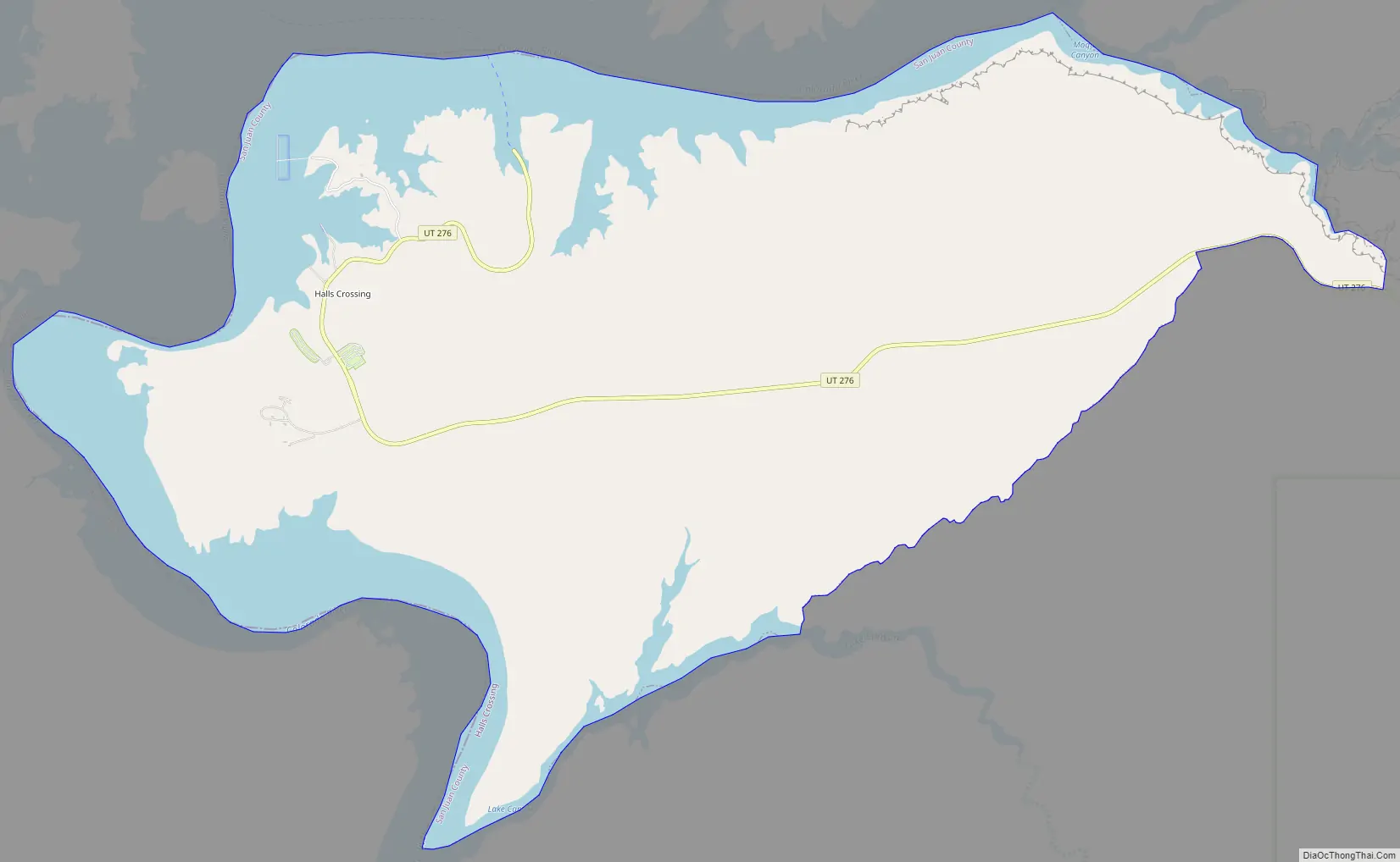
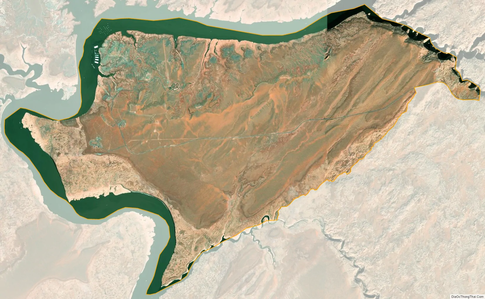
Halls Crossing is a census-designated place (CDP) on the western edge of San Juan County, Utah, United States. The population was six at the 2010 Census. State Route 276 crosses the Colorado River at Halls Crossing using the Charles Hall Ferry.
| Name: | Halls Crossing CDP |
|---|---|
| LSAD Code: | 57 |
| LSAD Description: | CDP (suffix) |
| State: | Utah |
| County: | San Juan County |
| Elevation: | 3,842 ft (1,171 m) |
| Total Area: | 17.5 sq mi (45.3 km²) |
| Land Area: | 13.2 sq mi (34.2 km²) |
| Water Area: | 4.3 sq mi (11.1 km²) |
| Total Population: | 6 |
| Population Density: | 0.34/sq mi (0.13/km²) |
| ZIP code: | 84533 |
| Area code: | 435 |
| FIPS code: | 4933027 |
| GNISfeature ID: | 1437579 |
Online Interactive Map
Click on ![]() to view map in "full screen" mode.
to view map in "full screen" mode.
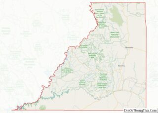
Halls Crossing location map. Where is Halls Crossing CDP?
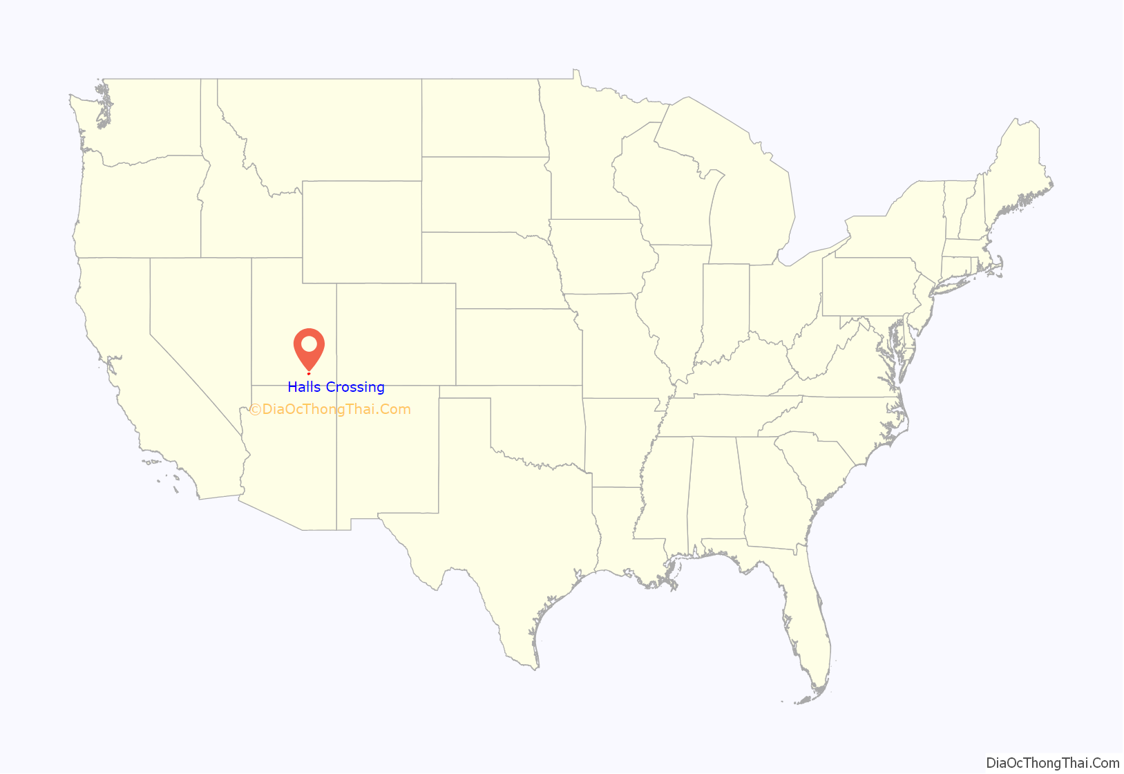
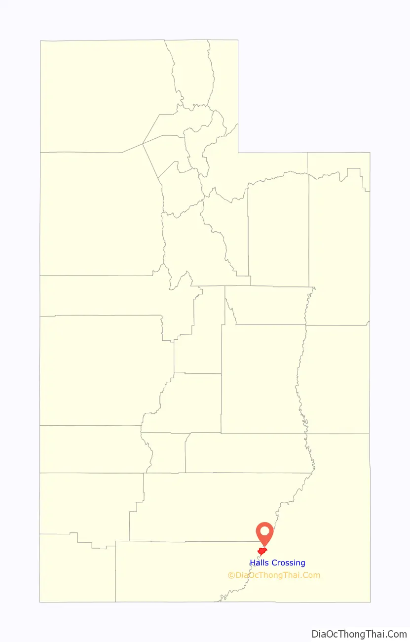
Halls Crossing Road Map
Halls Crossing city Satellite Map
Geography
Halls Crossing is located at 37°27′41″N 110°40′29″W / 37.46139°N 110.67472°W / 37.46139; -110.67472 (37.461406, -110.674821).
According to the United States Census Bureau, the CDP has a total area of 17.5 square miles (45.2 km), of which 13.2 square miles (34.2 km) is land and 4.3 square miles (11.1 km) (24.50%) is water.
See also
Map of Utah State and its subdivision: Map of other states:- Alabama
- Alaska
- Arizona
- Arkansas
- California
- Colorado
- Connecticut
- Delaware
- District of Columbia
- Florida
- Georgia
- Hawaii
- Idaho
- Illinois
- Indiana
- Iowa
- Kansas
- Kentucky
- Louisiana
- Maine
- Maryland
- Massachusetts
- Michigan
- Minnesota
- Mississippi
- Missouri
- Montana
- Nebraska
- Nevada
- New Hampshire
- New Jersey
- New Mexico
- New York
- North Carolina
- North Dakota
- Ohio
- Oklahoma
- Oregon
- Pennsylvania
- Rhode Island
- South Carolina
- South Dakota
- Tennessee
- Texas
- Utah
- Vermont
- Virginia
- Washington
- West Virginia
- Wisconsin
- Wyoming