Hinckley is a town in Millard County, Utah, United States, in the middle of the Sevier Desert. Irrigation water from the Sevier River, passing nearby, has been used to turn Hinckley into a farming oasis. The mountains that are common in Utah are seen only in the distance, and beyond the reach of the river, a severe desert prevails. The population was 696 at the 2010 census.
| Name: | Hinckley town |
|---|---|
| LSAD Code: | 43 |
| LSAD Description: | town (suffix) |
| State: | Utah |
| County: | Millard County |
| Elevation: | 4,603 ft (1,403 m) |
| Total Area: | 4.99 sq mi (12.92 km²) |
| Land Area: | 4.99 sq mi (12.92 km²) |
| Water Area: | 0.00 sq mi (0.00 km²) |
| Total Population: | 696 |
| Population Density: | 143.49/sq mi (55.40/km²) |
| ZIP code: | 84635 |
| Area code: | 435 |
| FIPS code: | 4935740 |
| GNISfeature ID: | 1428726 |
Online Interactive Map
Click on ![]() to view map in "full screen" mode.
to view map in "full screen" mode.
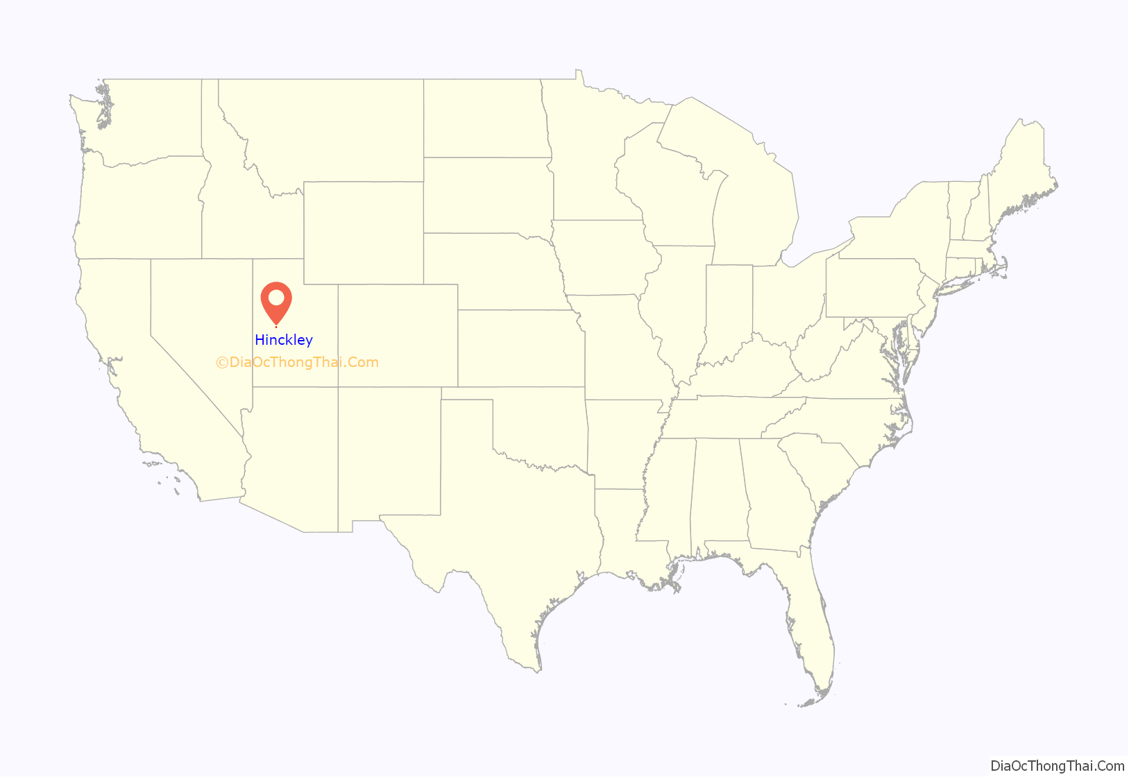
Hinckley location map. Where is Hinckley town?
History
Hinckley was first settled by Erastus F. Pack, a son of John Pack. The area was part of the Latter Day Saints Deseret Ward until 1891 when that ward was split, and the area now known as Hinckley was made the Hinckley Ward, named after Ira N. Hinckley. Thomas George Theobald surveyed the town and divided it into 14 blocks of 5 acres each.
Airplane crash
On 1 August 1944, a B-24D Liberator Bomber on a training run crash landed west of Hinckley. The crew had bailed out near Eureka, NV.
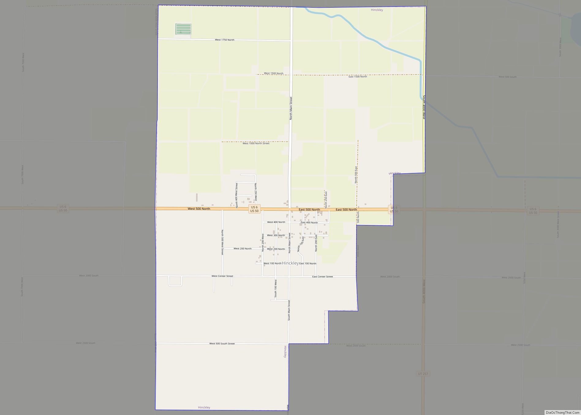
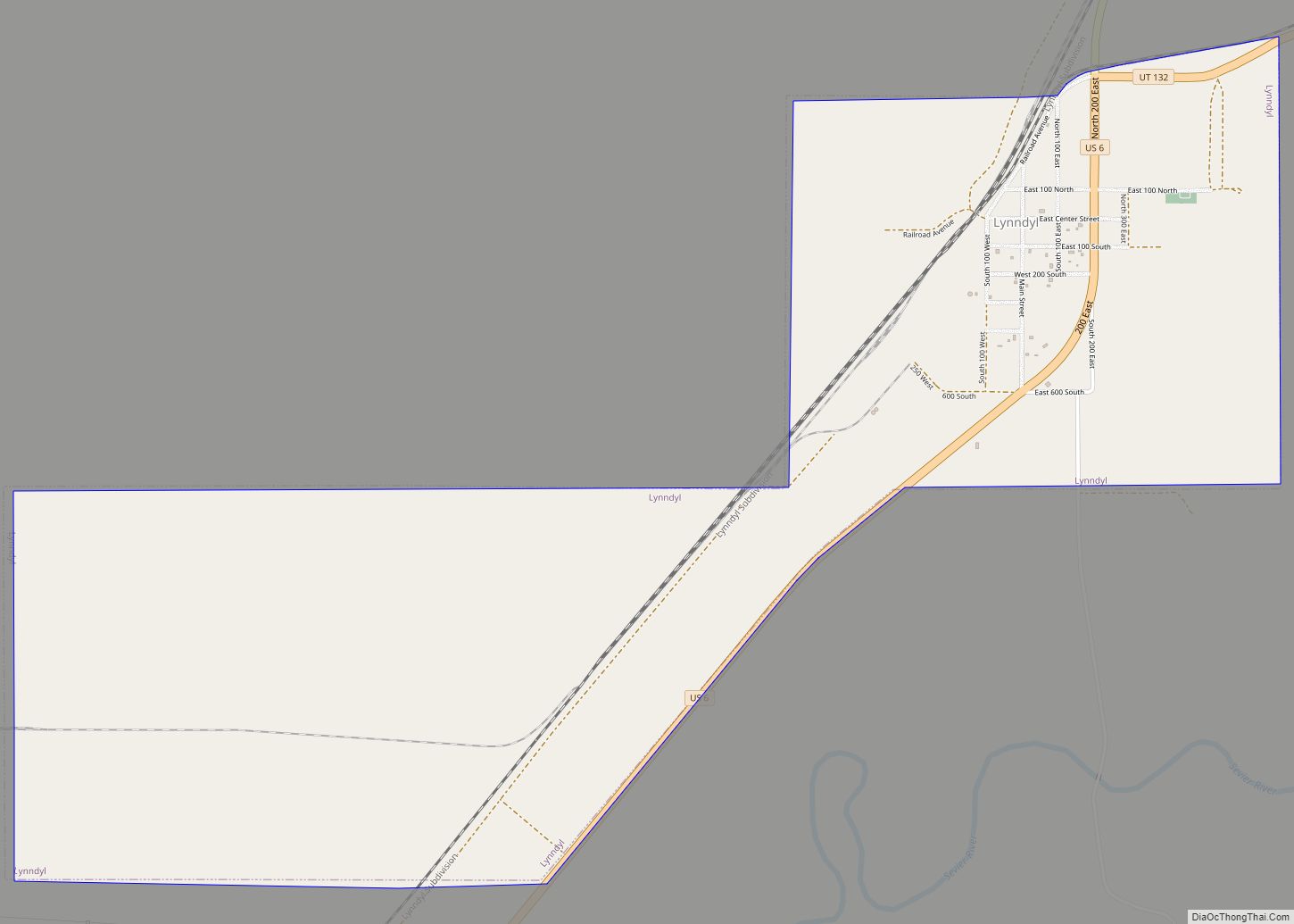
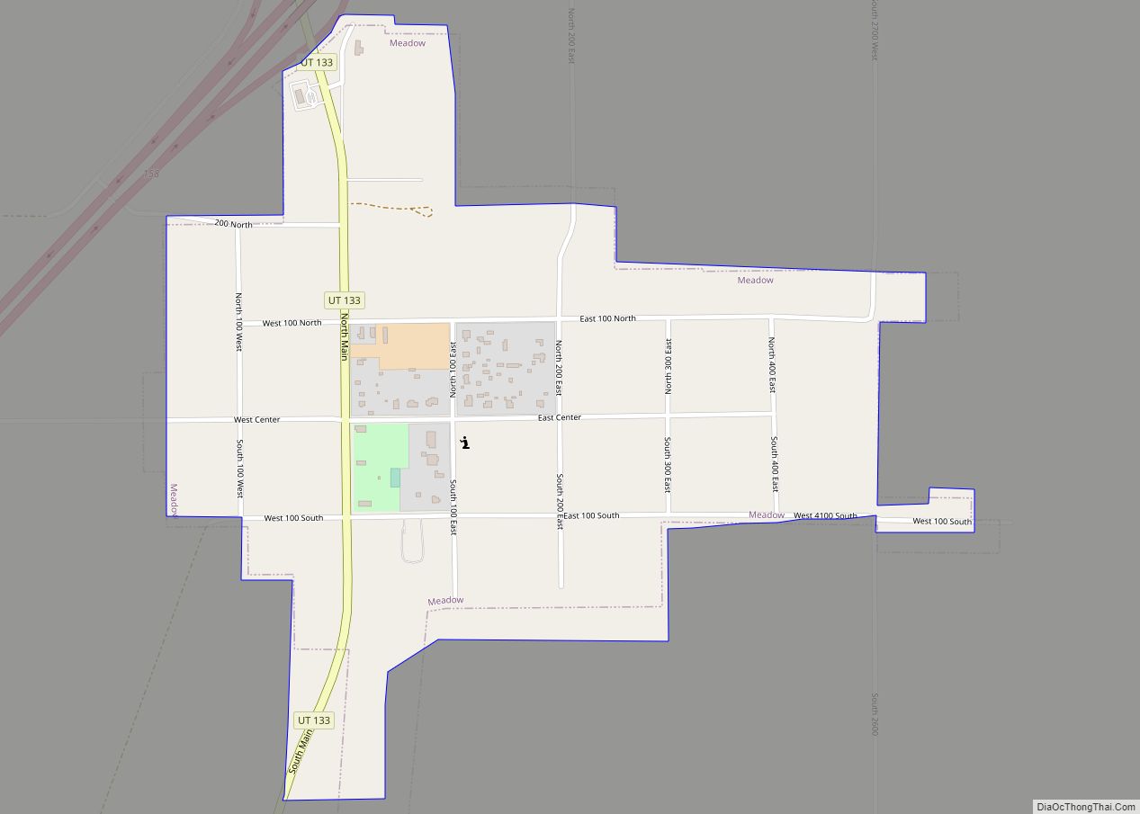
Hinckley Road Map
Hinckley city Satellite Map
Geography
According to the United States Census Bureau, the town has a total area of 5.0 square miles (13.0 km), all land.
Climate
According to the Köppen Climate Classification system, Hinckley has a semi-arid climate, abbreviated “BSk” on climate maps.
See also
Map of Utah State and its subdivision: Map of other states:- Alabama
- Alaska
- Arizona
- Arkansas
- California
- Colorado
- Connecticut
- Delaware
- District of Columbia
- Florida
- Georgia
- Hawaii
- Idaho
- Illinois
- Indiana
- Iowa
- Kansas
- Kentucky
- Louisiana
- Maine
- Maryland
- Massachusetts
- Michigan
- Minnesota
- Mississippi
- Missouri
- Montana
- Nebraska
- Nevada
- New Hampshire
- New Jersey
- New Mexico
- New York
- North Carolina
- North Dakota
- Ohio
- Oklahoma
- Oregon
- Pennsylvania
- Rhode Island
- South Carolina
- South Dakota
- Tennessee
- Texas
- Utah
- Vermont
- Virginia
- Washington
- West Virginia
- Wisconsin
- Wyoming
