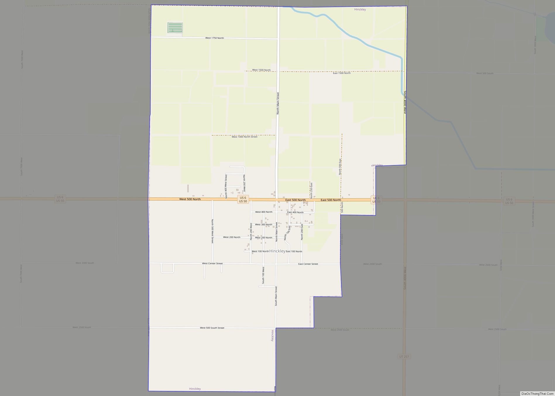
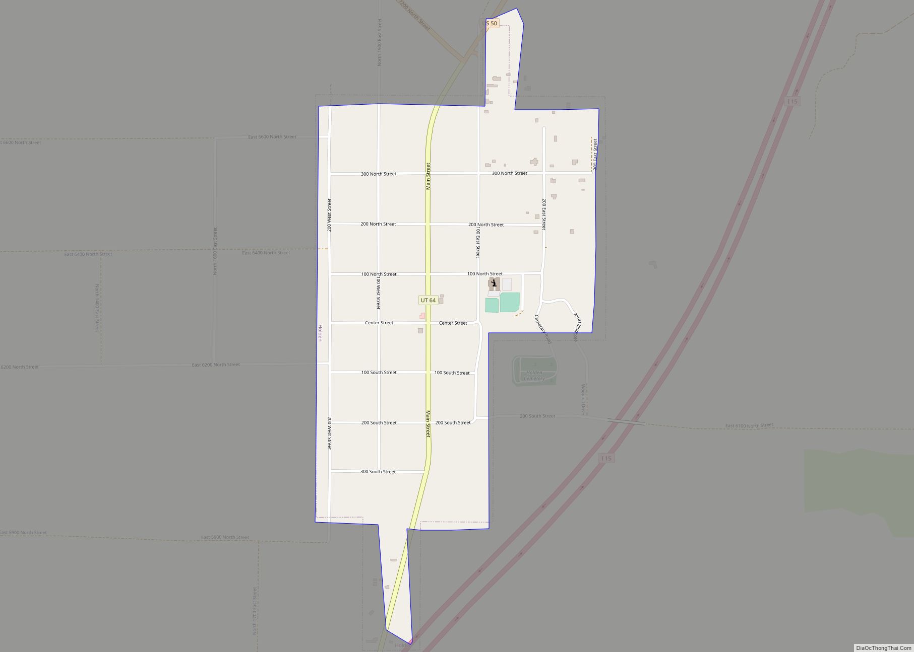
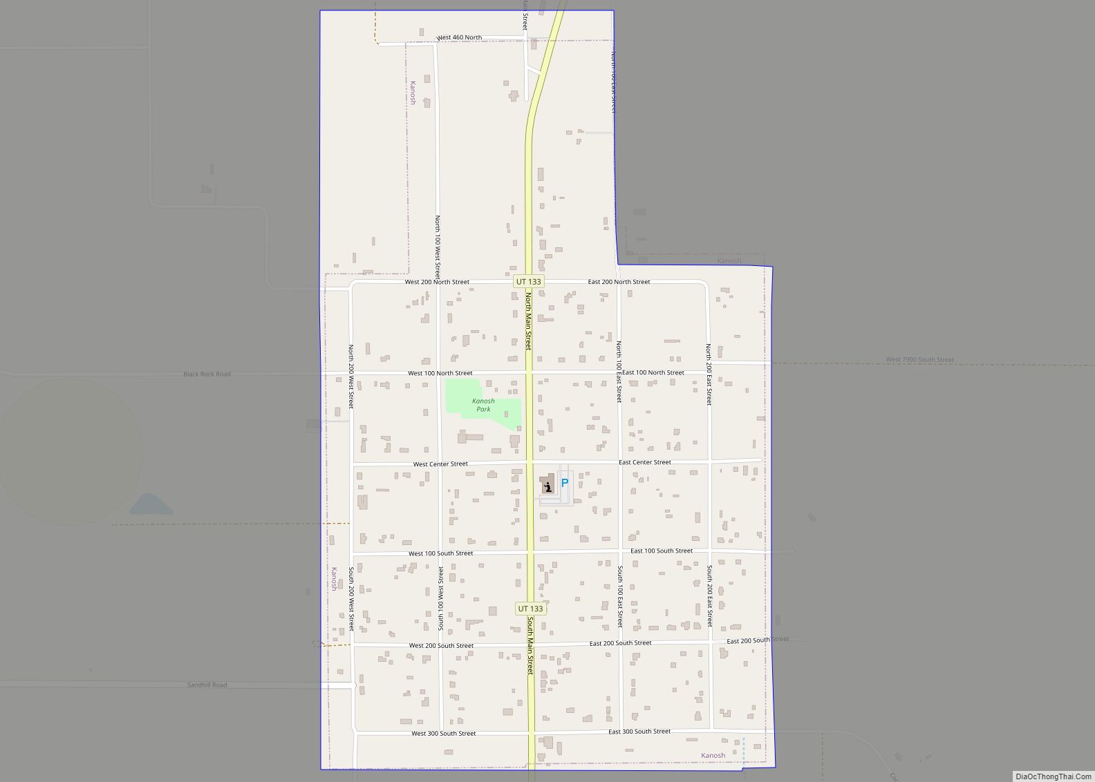
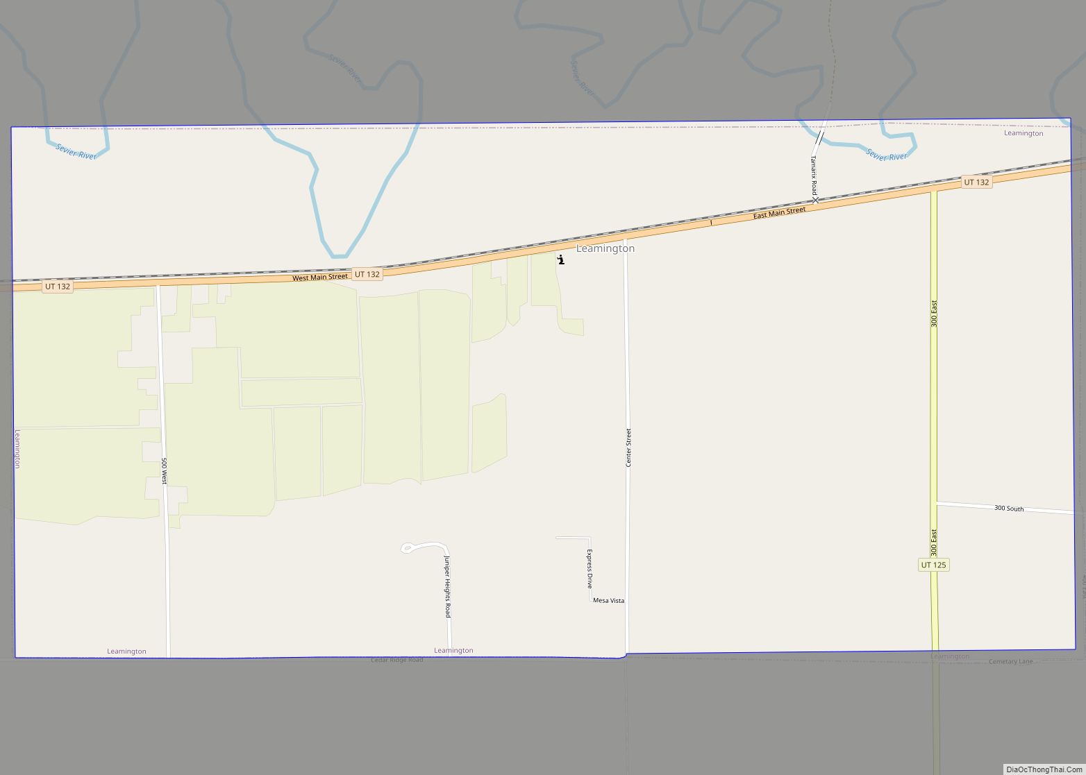
Holden is a town in Millard County, Utah, United States. The population was 378 at the 2010 census.
| Name: | Holden town |
|---|---|
| LSAD Code: | 43 |
| LSAD Description: | town (suffix) |
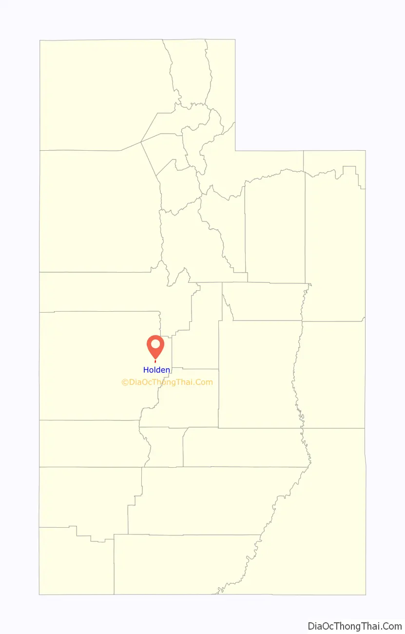
| State: | Utah |
| County: | Millard County |
| Incorporated: | 1923 |
| Elevation: | 5,102 ft (1,555 m) |
| Total Area: | 0.54 sq mi (1.39 km²) |
| Land Area: | 0.54 sq mi (1.39 km²) |
| Water Area: | 0.00 sq mi (0.00 km²) |
| Total Population: | 378 |
| Population Density: | 734.58/sq mi (283.41/km²) |
| ZIP code: | 84636 |
| Area code: | 435 |
| FIPS code: | 4935960 |
| GNISfeature ID: | 1428763 |
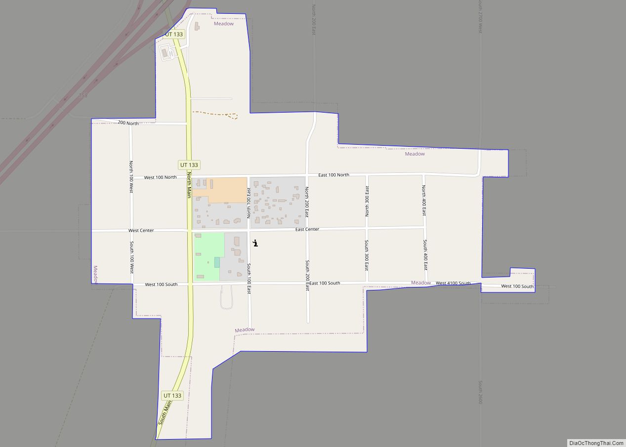
Online Interactive Map
Click on ![]() to view map in "full screen" mode.
to view map in "full screen" mode.
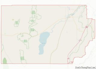
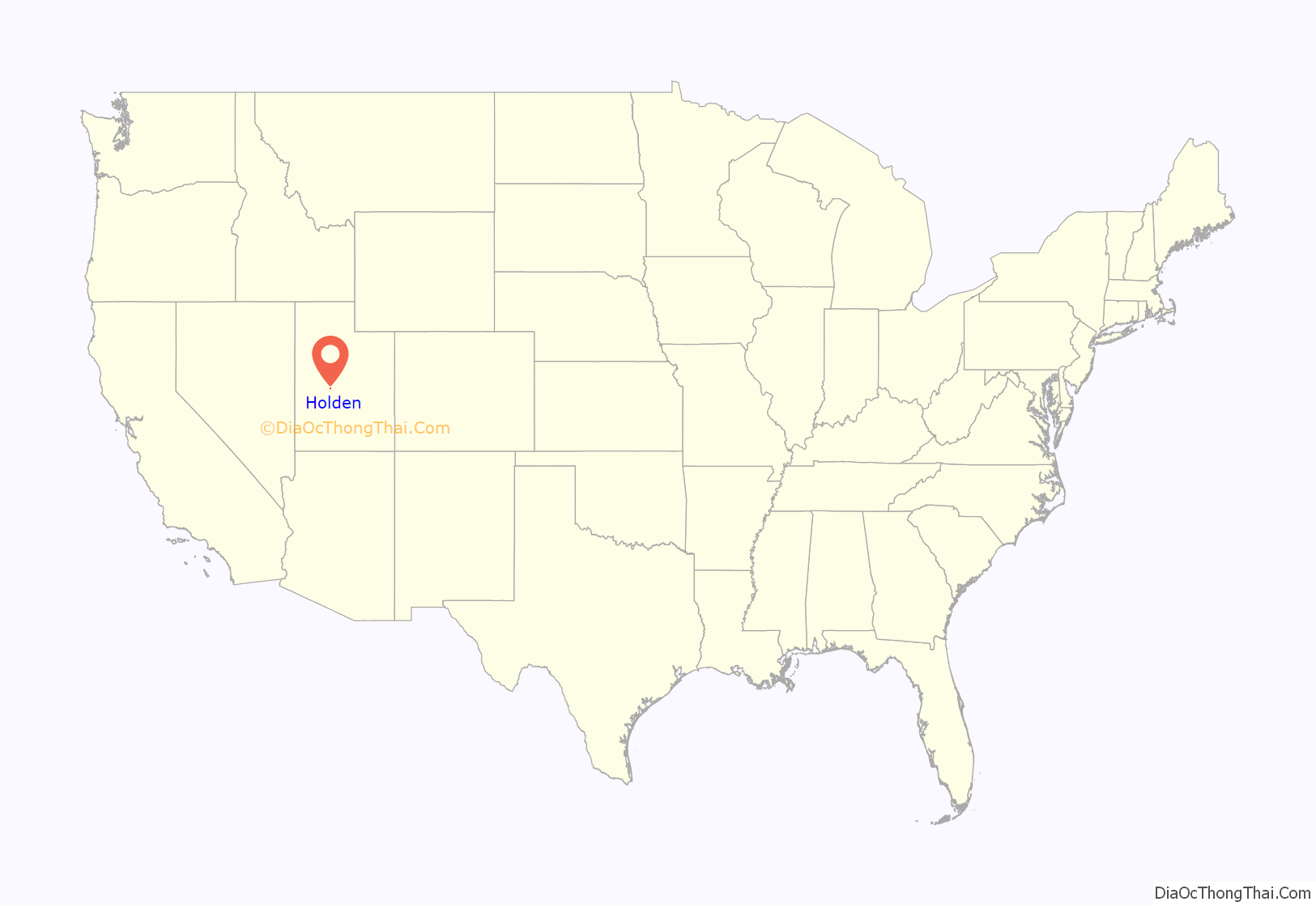
Holden location map. Where is Holden town?
History
Holden was settled in 1855 by a group of ten families sent out by the bishop of the local congregation of The Church of Jesus Christ of Latter-day Saints in Fillmore. Named Cedar Springs for the springs in the junipers that the community was built around. The town then assumed the name Buttermilk Fort because travelers passing through were encouraged to stop for a glass of cold buttermilk while resting. The town got its post office in 1864, and the town was renamed for Elijah E. Holden, a member of the Mormon Battalion who was one of the first settlers of Holden and died while caught in a snowstorm in 1858.
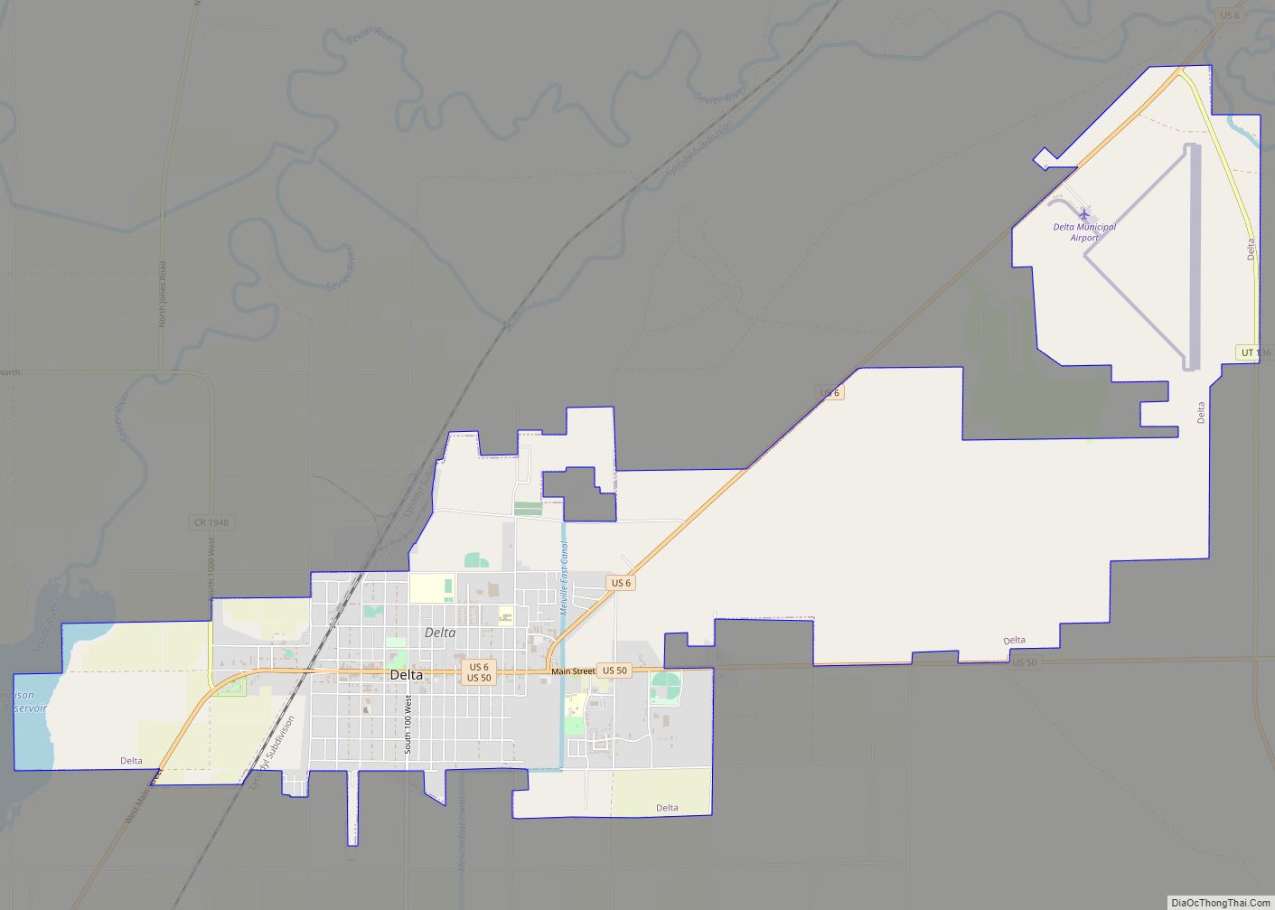
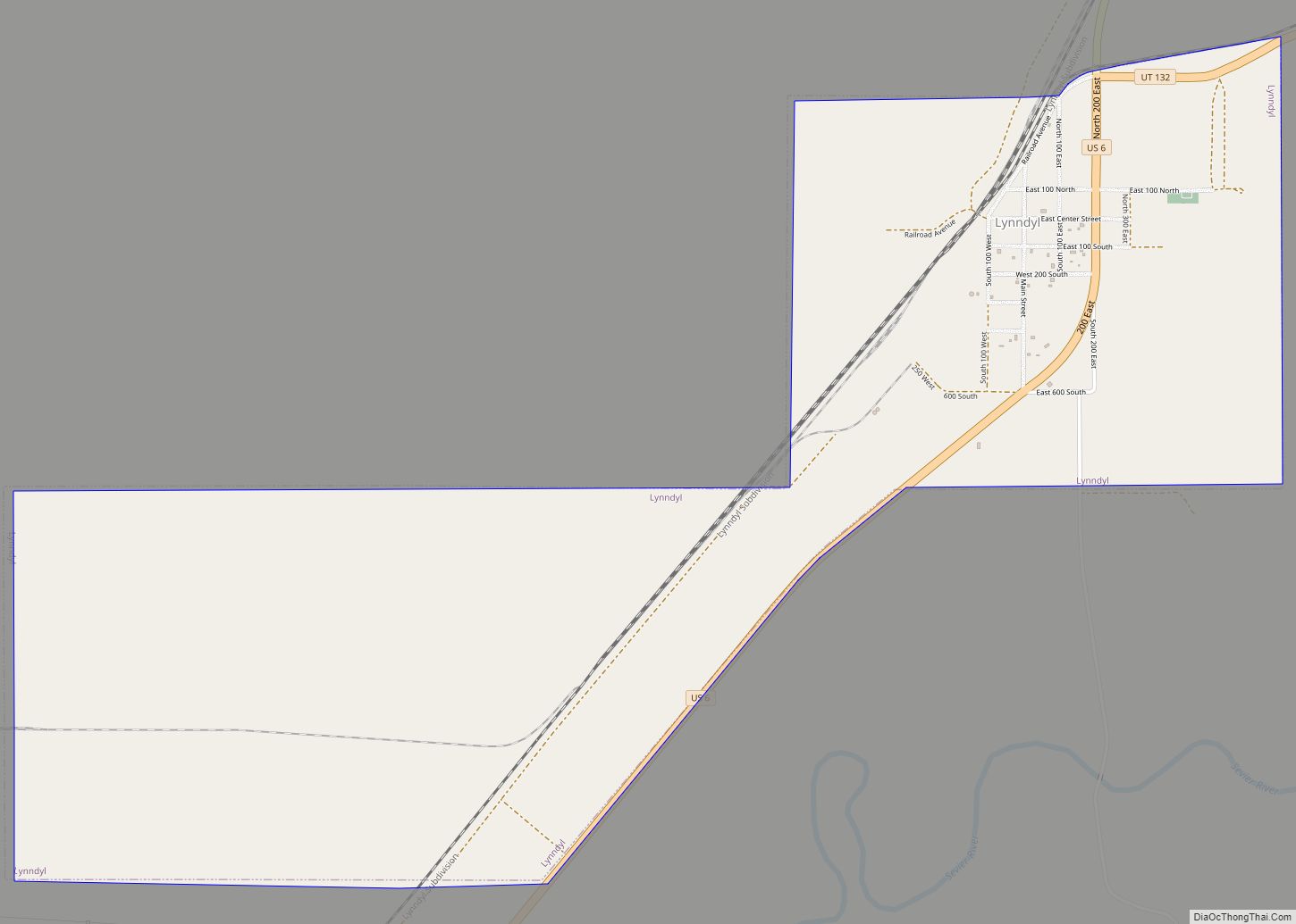
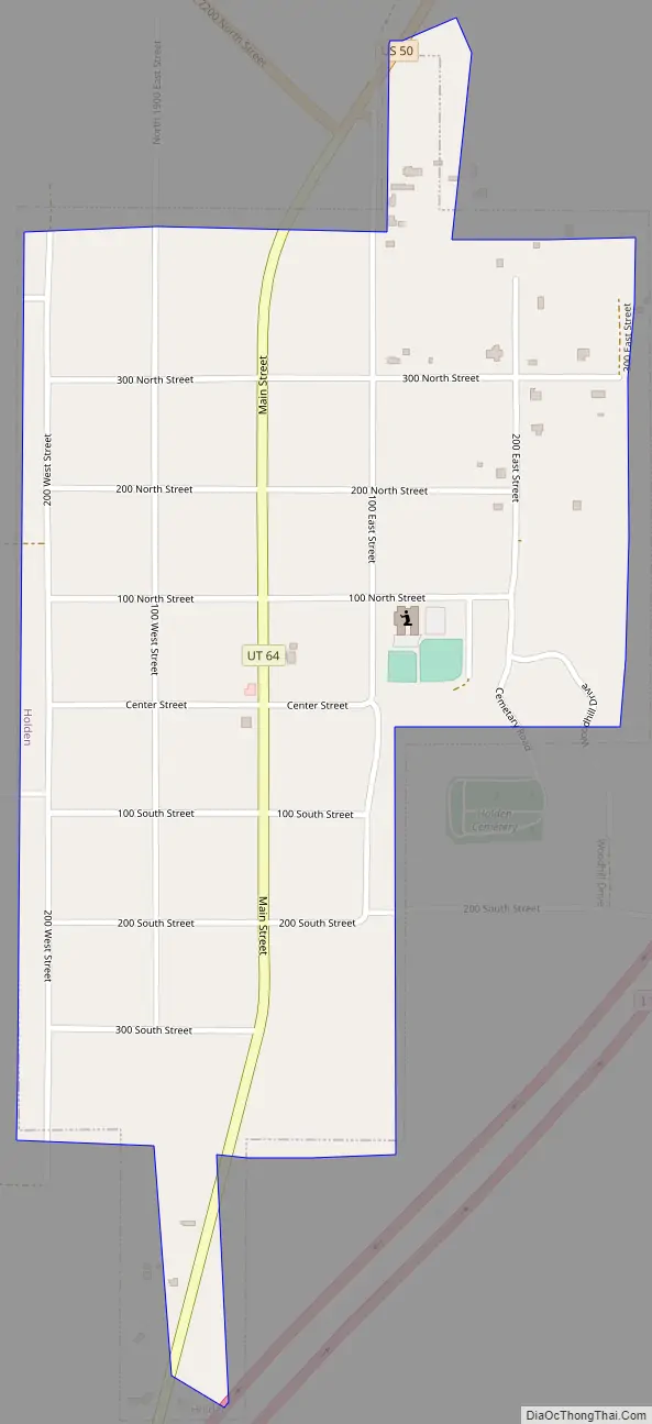
Holden Road Map
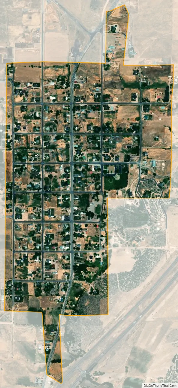
Holden city Satellite Map
Geography
According to the United States Census Bureau, the town has a total area of 0.6 square mile (1.4 km), all land.
See also
Map of Utah State and its subdivision: Map of other states:- Alabama
- Alaska
- Arizona
- Arkansas
- California
- Colorado
- Connecticut
- Delaware
- District of Columbia
- Florida
- Georgia
- Hawaii
- Idaho
- Illinois
- Indiana
- Iowa
- Kansas
- Kentucky
- Louisiana
- Maine
- Maryland
- Massachusetts
- Michigan
- Minnesota
- Mississippi
- Missouri
- Montana
- Nebraska
- Nevada
- New Hampshire
- New Jersey
- New Mexico
- New York
- North Carolina
- North Dakota
- Ohio
- Oklahoma
- Oregon
- Pennsylvania
- Rhode Island
- South Carolina
- South Dakota
- Tennessee
- Texas
- Utah
- Vermont
- Virginia
- Washington
- West Virginia
- Wisconsin
- Wyoming