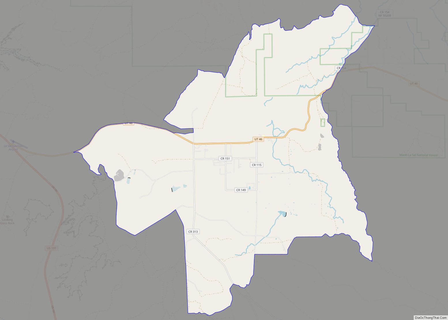
La Sal is a census-designated place (CDP) in northeastern San Juan County, Utah, United States. The population was 339 at the 2000 census. The name comes from the La Sal Mountains which means in Spanish “The Salt”. The area is known for its uranium resources.
| Name: | La Sal CDP |
|---|---|
| LSAD Code: | 57 |
| LSAD Description: | CDP (suffix) |
| State: | Utah |
| County: | San Juan County |
| Founded: | 1930 |
| Elevation: | 6,978 ft (2,127 m) |
| Total Area: | 46.0 sq mi (119.2 km²) |
| Land Area: | 45.8 sq mi (118.7 km²) |
| Water Area: | 0.2 sq mi (0.4 km²) |
| Total Population: | 339 |
| Population Density: | 7.4/sq mi (2.9/km²) |
| ZIP code: | 84530 |
| Area code: | 435 |
| FIPS code: | 4943110 |
| GNISfeature ID: | 1442376 |
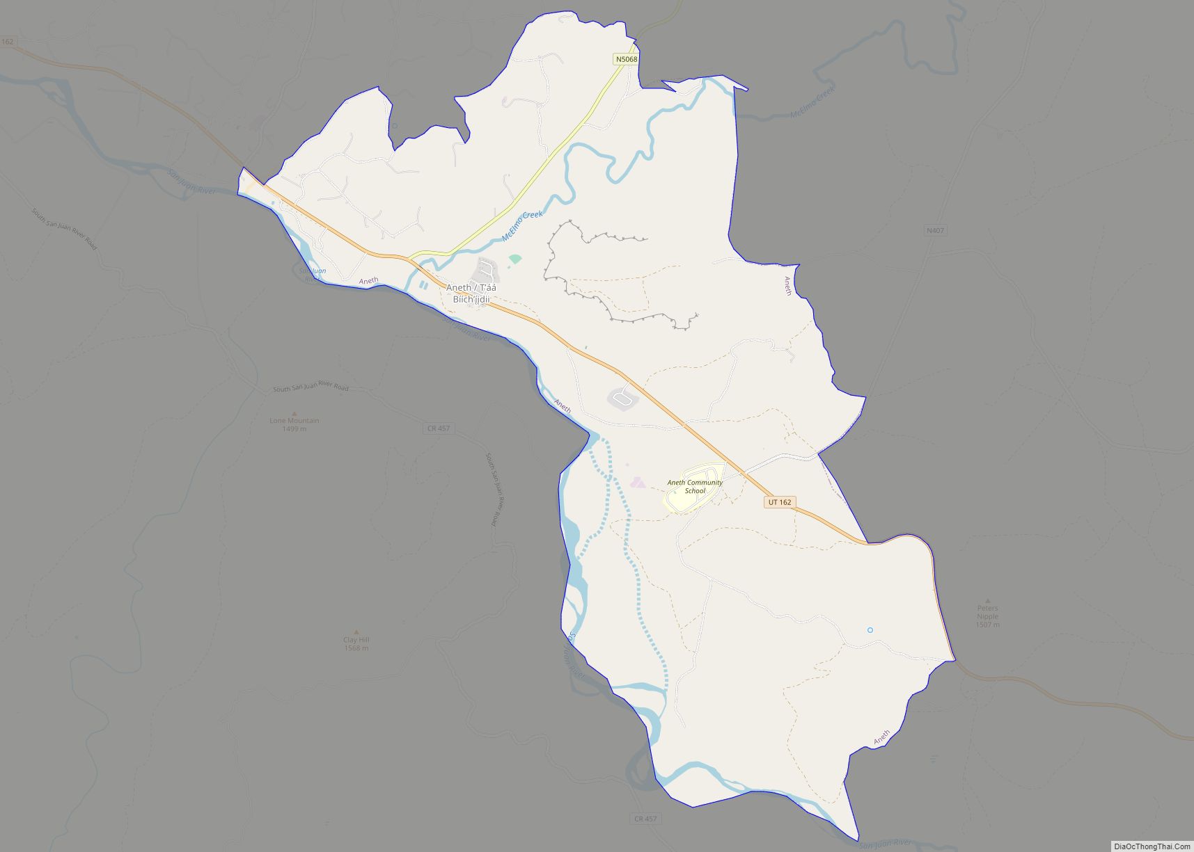
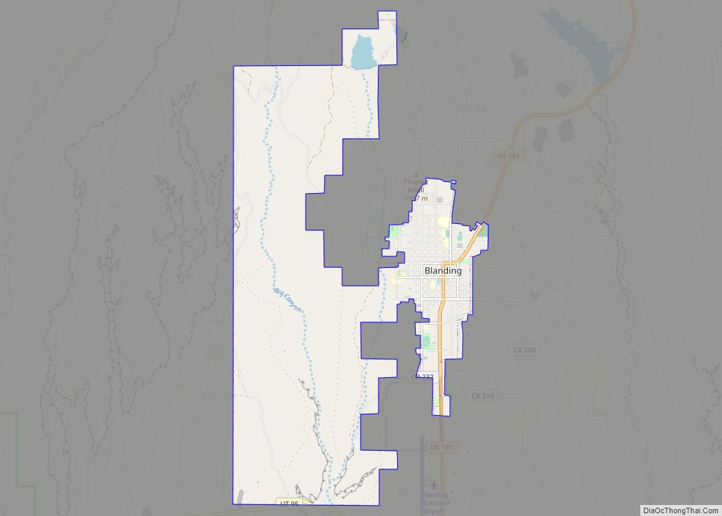
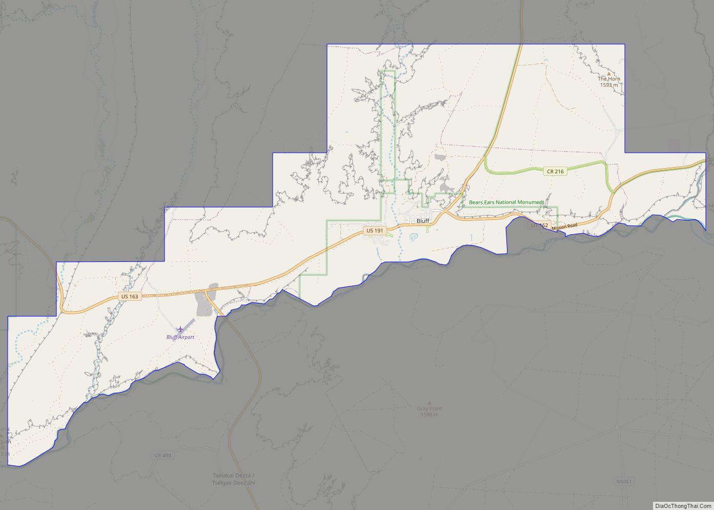
Online Interactive Map
Click on ![]() to view map in "full screen" mode.
to view map in "full screen" mode.
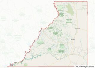
La Sal location map. Where is La Sal CDP?
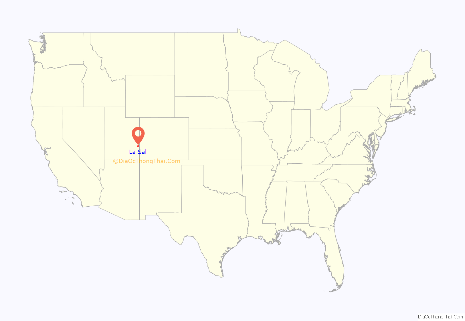
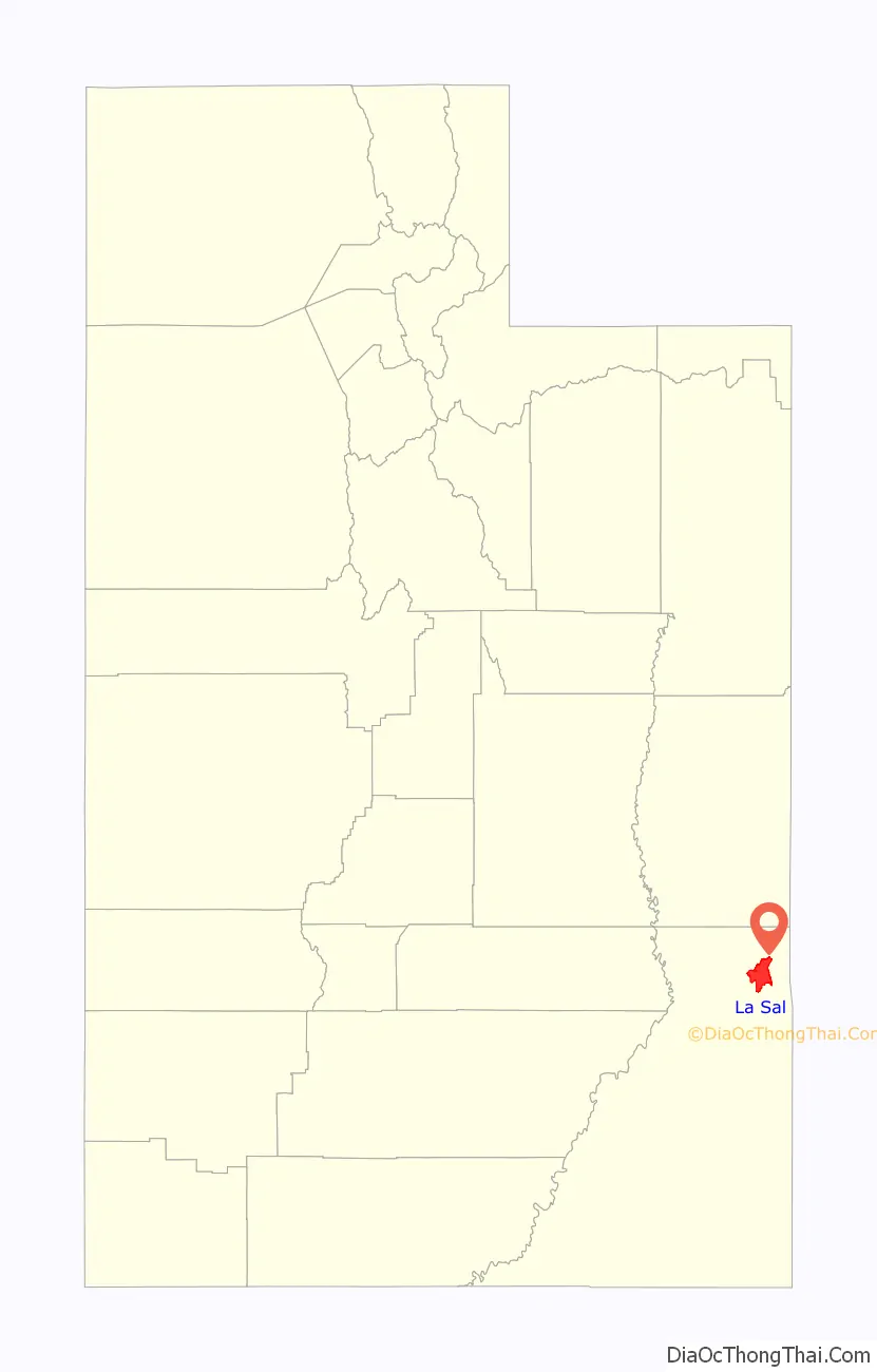
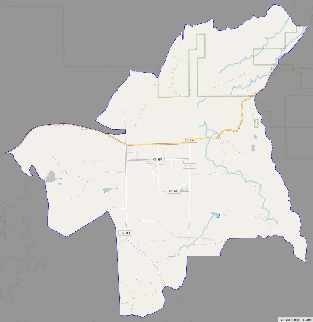
La Sal Road Map
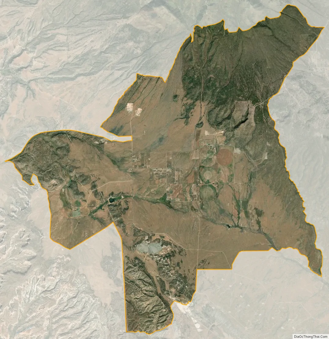
La Sal city Satellite Map
Geography
La Sal is located at 38°18′8″N 109°16′7″W / 38.30222°N 109.26861°W / 38.30222; -109.26861 (38.302188, -109.268688).
According to the United States Census Bureau, the CDP has a total area of 46.0 square miles (119.1 km), of which 45.8 square miles (118.7 km) is land and 0.2 square mile (0.4 km) (0.35%) is water.
Climate
According to the Köppen Climate Classification system, La Sal has a borderline continental climate and semi-arid climate (Dfb/BSk).
See also
Map of Utah State and its subdivision: Map of other states:- Alabama
- Alaska
- Arizona
- Arkansas
- California
- Colorado
- Connecticut
- Delaware
- District of Columbia
- Florida
- Georgia
- Hawaii
- Idaho
- Illinois
- Indiana
- Iowa
- Kansas
- Kentucky
- Louisiana
- Maine
- Maryland
- Massachusetts
- Michigan
- Minnesota
- Mississippi
- Missouri
- Montana
- Nebraska
- Nevada
- New Hampshire
- New Jersey
- New Mexico
- New York
- North Carolina
- North Dakota
- Ohio
- Oklahoma
- Oregon
- Pennsylvania
- Rhode Island
- South Carolina
- South Dakota
- Tennessee
- Texas
- Utah
- Vermont
- Virginia
- Washington
- West Virginia
- Wisconsin
- Wyoming