Mantua (/ˈmæntəweɪ/ MAN-tə-way or /ˈmænəweɪ/ MAN-ə-way) is a town on the eastern edge Box Elder County, Utah, United States. The population of the town was 687 at the 2010 census.
| Name: | Mantua town |
|---|---|
| LSAD Code: | 43 |
| LSAD Description: | town (suffix) |
| State: | Utah |
| County: | Box Elder County |
| Incorporated: | 1911 |
| Elevation: | 5,200 ft (1,600 m) |
| Total Area: | 5.70 sq mi (14.8 km²) |
| Land Area: | 4.91 sq mi (12.7 km²) |
| Water Area: | 0.79 sq mi (2.0 km²) |
| Total Population: | 687 |
| Population Density: | 196.25/sq mi (75.77/km²) |
| ZIP code: | 84324 |
| Area code: | 435 |
| FIPS code: | 4947840 |
| GNISfeature ID: | 1443141 |
| Website: | www.mantuautah.org |
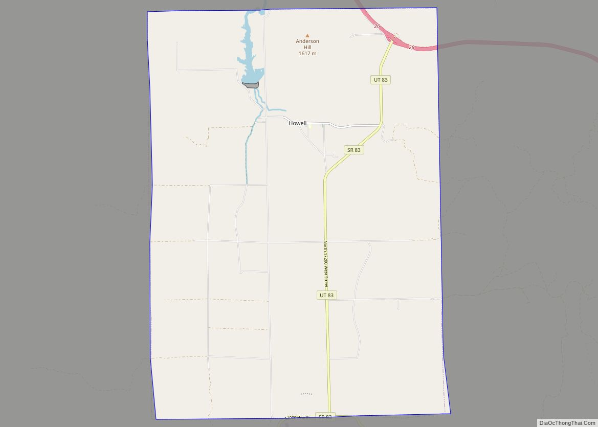
Online Interactive Map
Click on ![]() to view map in "full screen" mode.
to view map in "full screen" mode.
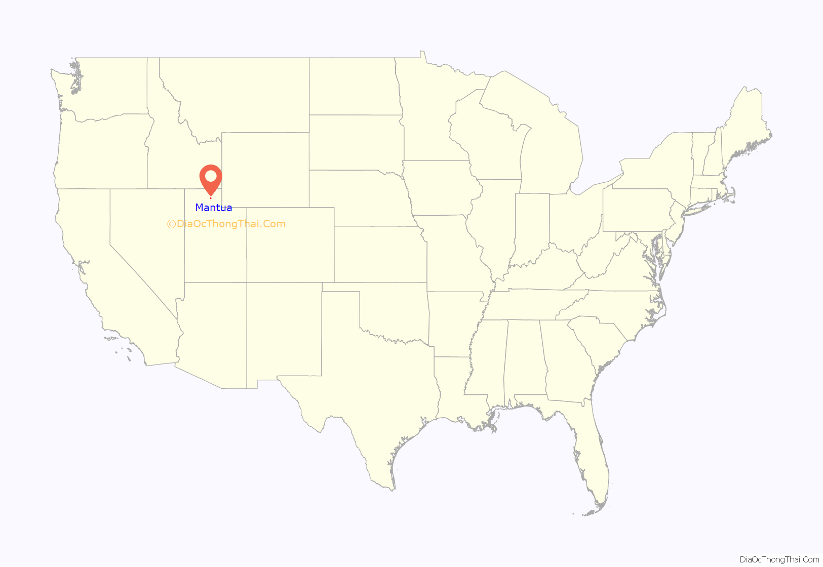
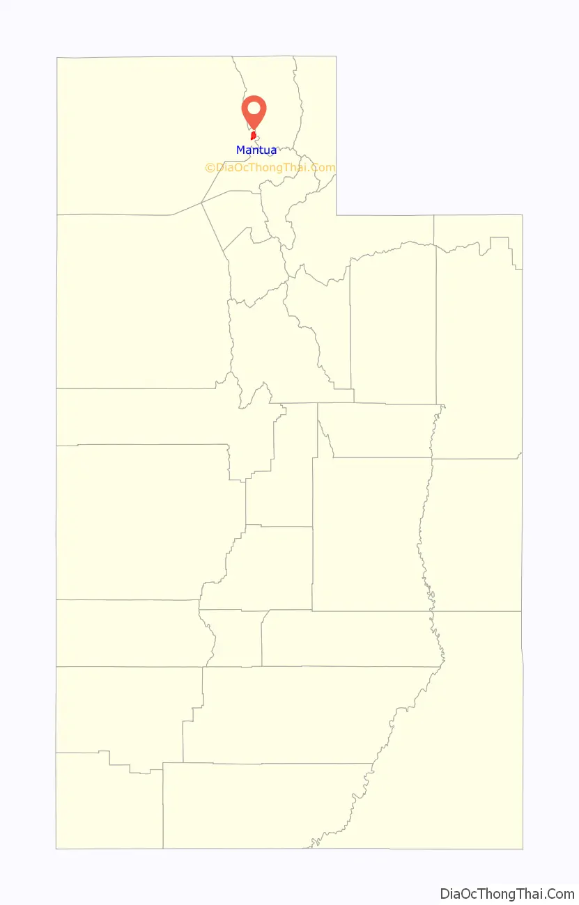
Mantua location map. Where is Mantua town?
History
Mantua was settled in the mid-19th century when members of the Church of Jesus Christ of Latter-day Saints were sent by Lorenzo Snow to the valley to grow flax. The first group arrived in Mantua in 1863 (although a sign at the main entry route states “Founded 1864”), and were all émigrés from Denmark led by Hans Jens Jensen. Snow was from Mantua, Ohio, and the town was named after the Ohio community in his honor. Due to Danish pronunciation the town’s pronunciation was changed to (“man-Away”) unlike Ohio’s (“man-tooway”) Prior to receiving its current name, the community was called Box Elder Valley, Copenhagen, Flaxville, Geneva, Hunsaker Valley, Little Copenhagen, and Little Valley.
Mantua Road Map
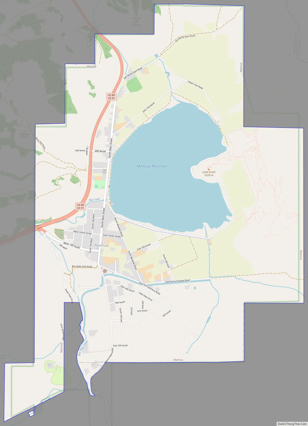
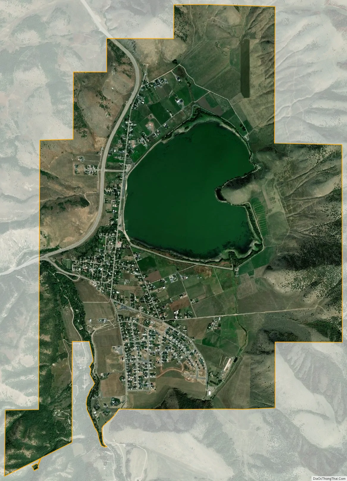
Mantua city Satellite Map
Geography
Mantua lies at the head of Box Elder Canyon on the northern, western, and southern sides of the Mantua Reservoir. According to the United States Census Bureau, the town has a total area of 5.6 square miles (15 km), of which 4.9 square miles (13 km) are land and 0.7 square miles (1.8 km) (13.21%) is water.
Climate
According to the Köppen Climate Classification system, Mantua has a dry summer continental climate, abbreviated “Dsa” on climate maps.
See also
Map of Utah State and its subdivision: Map of other states:- Alabama
- Alaska
- Arizona
- Arkansas
- California
- Colorado
- Connecticut
- Delaware
- District of Columbia
- Florida
- Georgia
- Hawaii
- Idaho
- Illinois
- Indiana
- Iowa
- Kansas
- Kentucky
- Louisiana
- Maine
- Maryland
- Massachusetts
- Michigan
- Minnesota
- Mississippi
- Missouri
- Montana
- Nebraska
- Nevada
- New Hampshire
- New Jersey
- New Mexico
- New York
- North Carolina
- North Dakota
- Ohio
- Oklahoma
- Oregon
- Pennsylvania
- Rhode Island
- South Carolina
- South Dakota
- Tennessee
- Texas
- Utah
- Vermont
- Virginia
- Washington
- West Virginia
- Wisconsin
- Wyoming