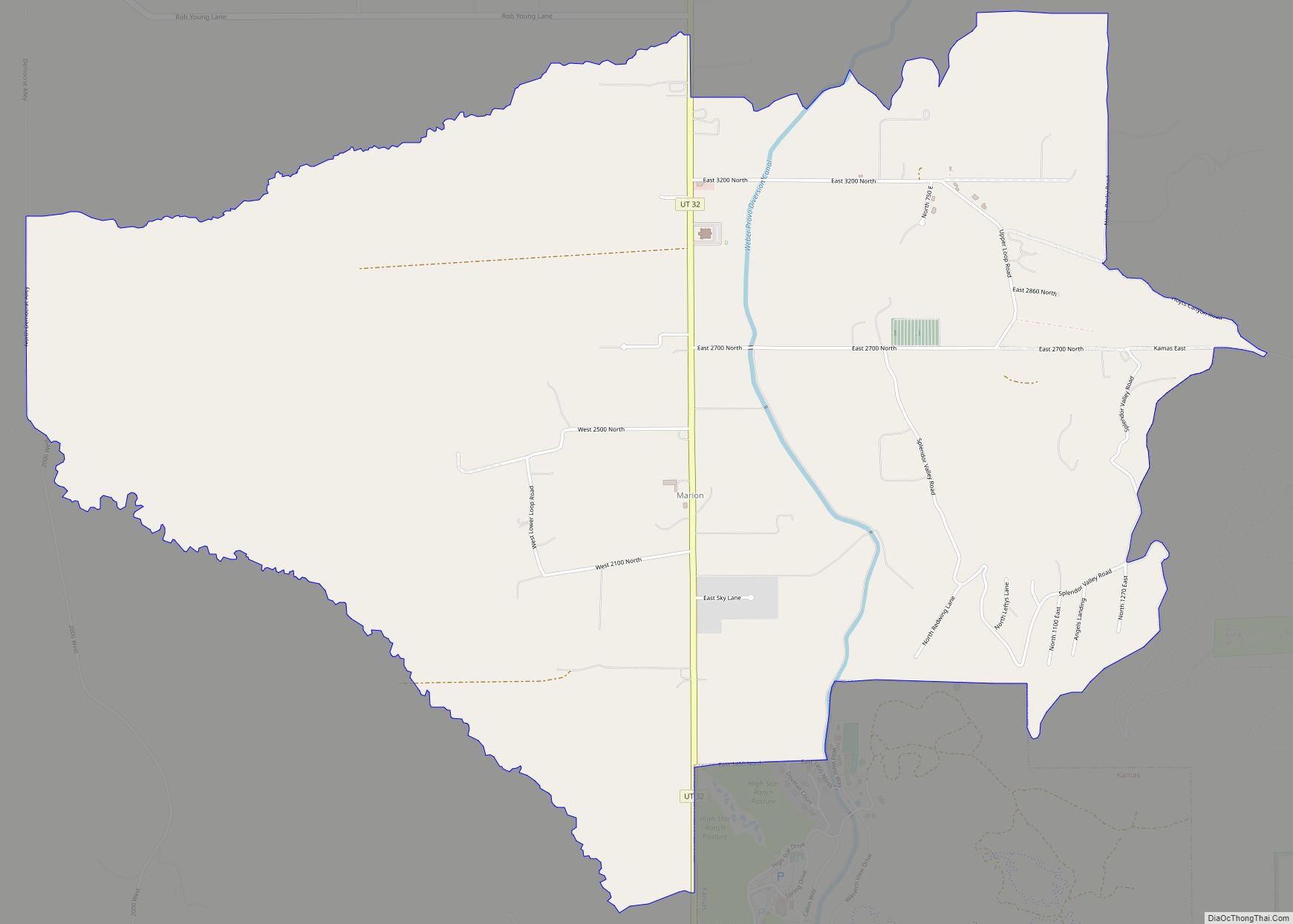
Marion is a census-designated place in Summit County, Utah, United States. The population was 685, according to the 2010 census.
| Name: | Marion CDP |
|---|---|
| LSAD Code: | 57 |
| LSAD Description: | CDP (suffix) |
| State: | Utah |
| County: | Summit County |
| Elevation: | 6,443 ft (1,964 m) |
| Total Area: | 5.8 sq mi (15 km²) |
| Land Area: | 5.8 sq mi (15 km²) |
| Water Area: | 0.0 sq mi (0 km²) |
| Total Population: | 685 |
| Population Density: | 120/sq mi (46/km²) |
| ZIP code: | 84036 |
| Area code: | 435 |
| FIPS code: | 4948170 |
| GNISfeature ID: | 2584771 |
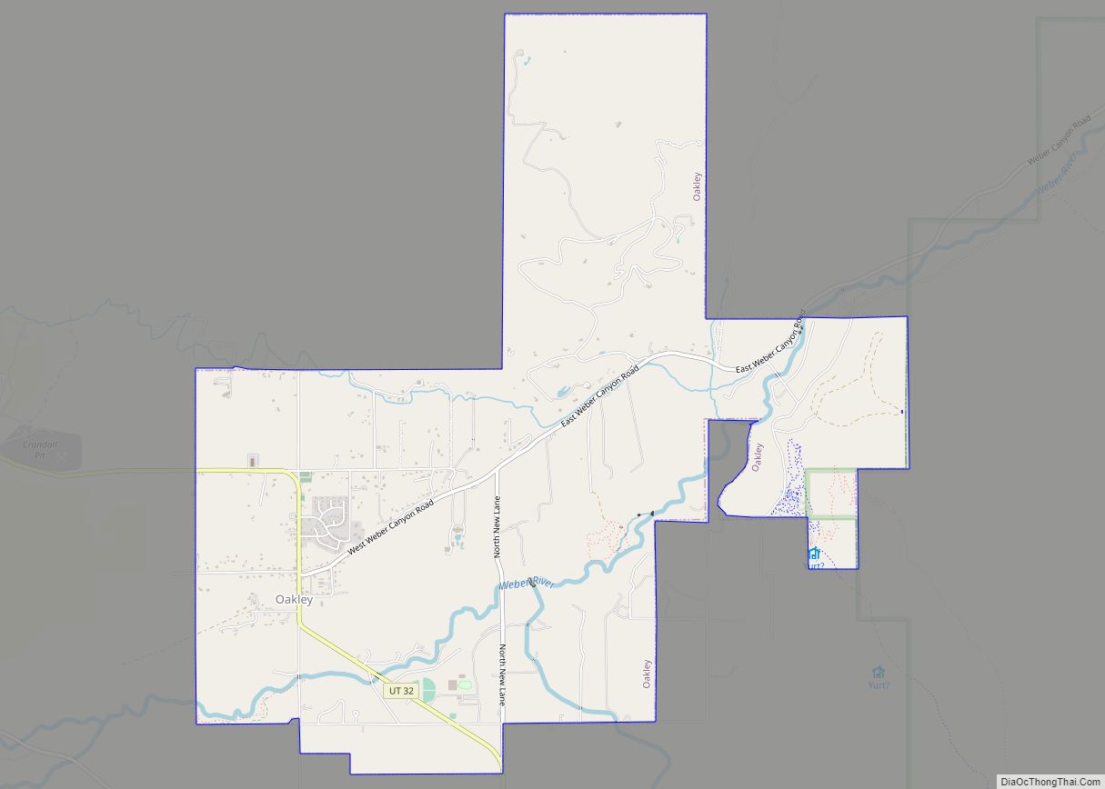
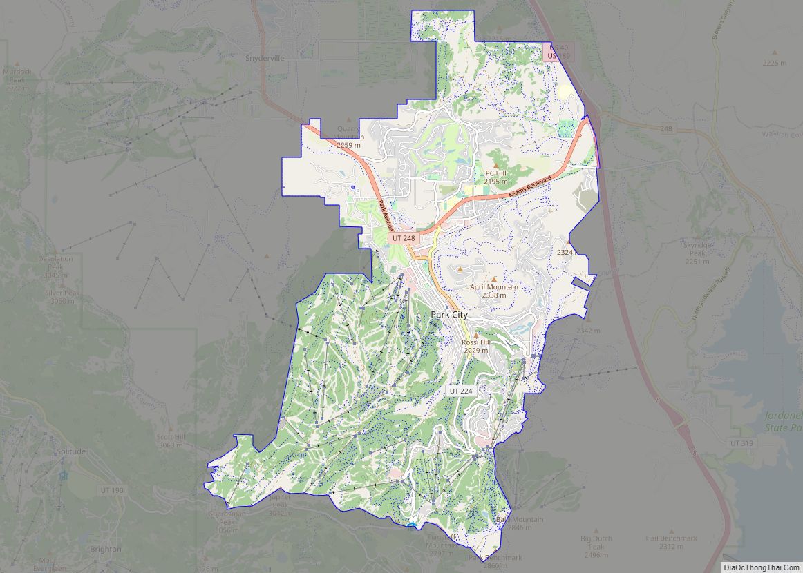
Online Interactive Map
Click on ![]() to view map in "full screen" mode.
to view map in "full screen" mode.
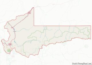
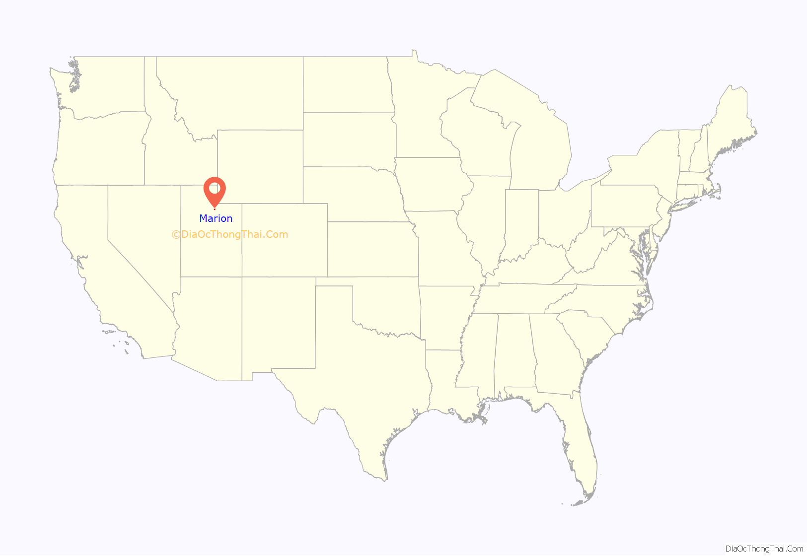
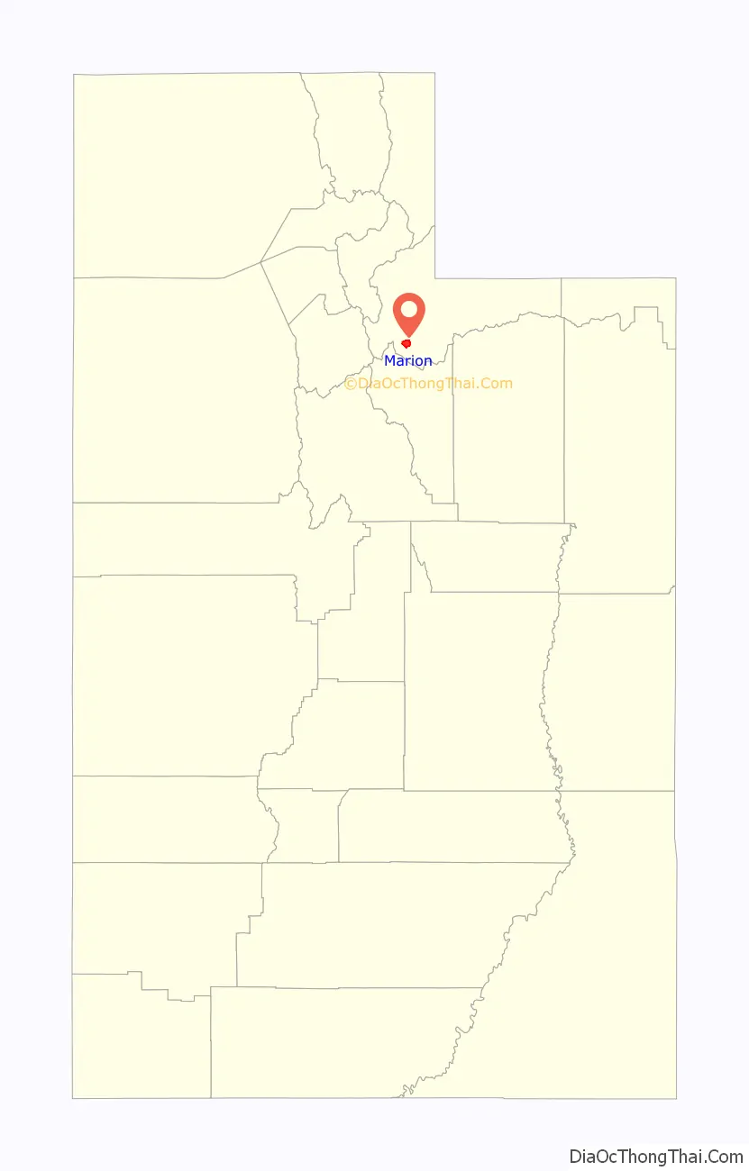
Marion location map. Where is Marion CDP?
History
The area that is now Marion was used in the 1860s by rancher Samuel P. Hoyt, whose 600–700 head of cattle grazed over most of Marion’s land. The settlement itself was founded in the mid-1870s and was originally named “Morrell” after William Morrell, who built the first house. A large portion of the early settlers were Danish American immigrants, and the community was also often called “Denmark”.
The name Marion has been credited to two different sources: Francis Marion Lyman, who, as President of the Quorum of the Twelve Apostles of the Church of Jesus Christ of Latter-day Saints, organized the first ward in the area in 1909, and Marion Myrick Sorensen, who settled here with her first husband in 1882. The Marion precinct first appeared under that name in the 1900 census.
Marion made news in 1979 when resident and polygamist homeschooler John Singer was killed while resisting arrest. The community garnered further publicity in 1988 when Singer’s son-in-law, Addam Swapp, bombed the LDS stake center in Marion and was arrested after a 13-day standoff with state and federal law enforcement.
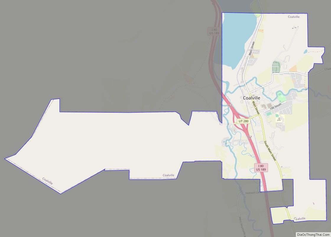
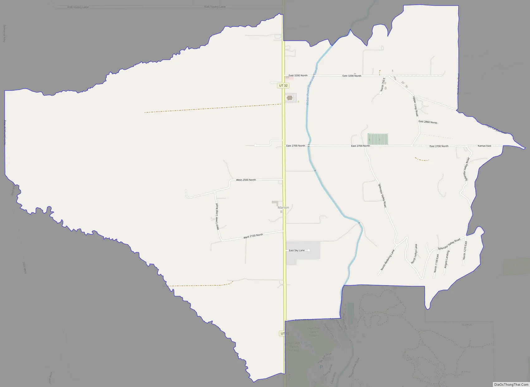
Marion Road Map
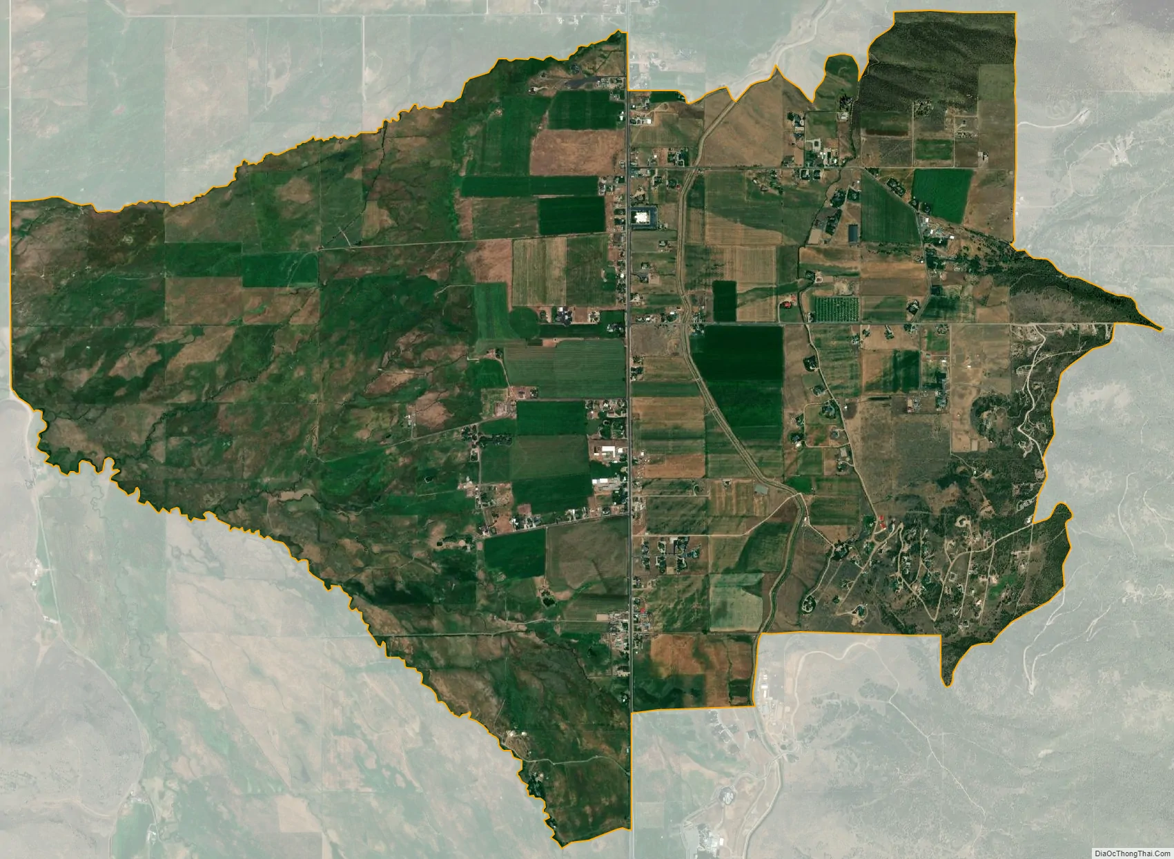
Marion city Satellite Map
Geography
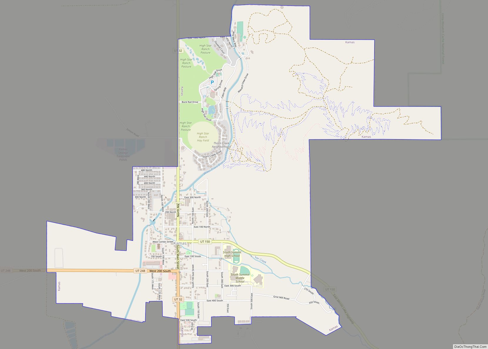
Marion is a small farming community located about 40 miles (64 km) east of Salt Lake City and 18 miles (29 km) east of Park City in the upper Kamas Valley, part of the Wasatch Back region of Utah. Lying 2 miles (3.2 km) due north of the city of Kamas on Utah State Route 32, Marion has always been closely associated with Kamas. Approximately 3 miles (4.8 km) to the north, across the Weber River, is the city of Oakley.
See also
Map of Utah State and its subdivision: Map of other states:- Alabama
- Alaska
- Arizona
- Arkansas
- California
- Colorado
- Connecticut
- Delaware
- District of Columbia
- Florida
- Georgia
- Hawaii
- Idaho
- Illinois
- Indiana
- Iowa
- Kansas
- Kentucky
- Louisiana
- Maine
- Maryland
- Massachusetts
- Michigan
- Minnesota
- Mississippi
- Missouri
- Montana
- Nebraska
- Nevada
- New Hampshire
- New Jersey
- New Mexico
- New York
- North Carolina
- North Dakota
- Ohio
- Oklahoma
- Oregon
- Pennsylvania
- Rhode Island
- South Carolina
- South Dakota
- Tennessee
- Texas
- Utah
- Vermont
- Virginia
- Washington
- West Virginia
- Wisconsin
- Wyoming