Meadow is a town in Millard County, Utah, United States. The population was 254 at the 2000 census. Originally called Meadow Creek, the town is located about eight miles south of Fillmore.
| Name: | Meadow town |
|---|---|
| LSAD Code: | 43 |
| LSAD Description: | town (suffix) |
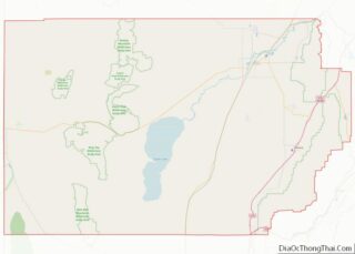
| State: | Utah |
| County: | Millard County |
| Elevation: | 4,839 ft (1,475 m) |
| Total Area: | 0.51 sq mi (1.31 km²) |
| Land Area: | 0.51 sq mi (1.31 km²) |
| Water Area: | 0.00 sq mi (0.00 km²) |
| Total Population: | 310 |
| Population Density: | 646.94/sq mi (249.98/km²) |
| ZIP code: | 84644 |
| Area code: | 435 |
| FIPS code: | 4948830 |
| GNISfeature ID: | 1430198 |
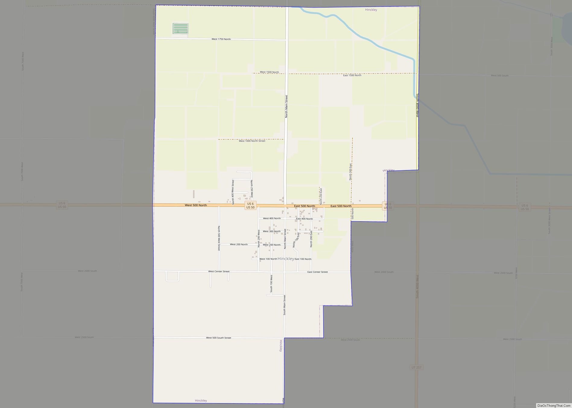
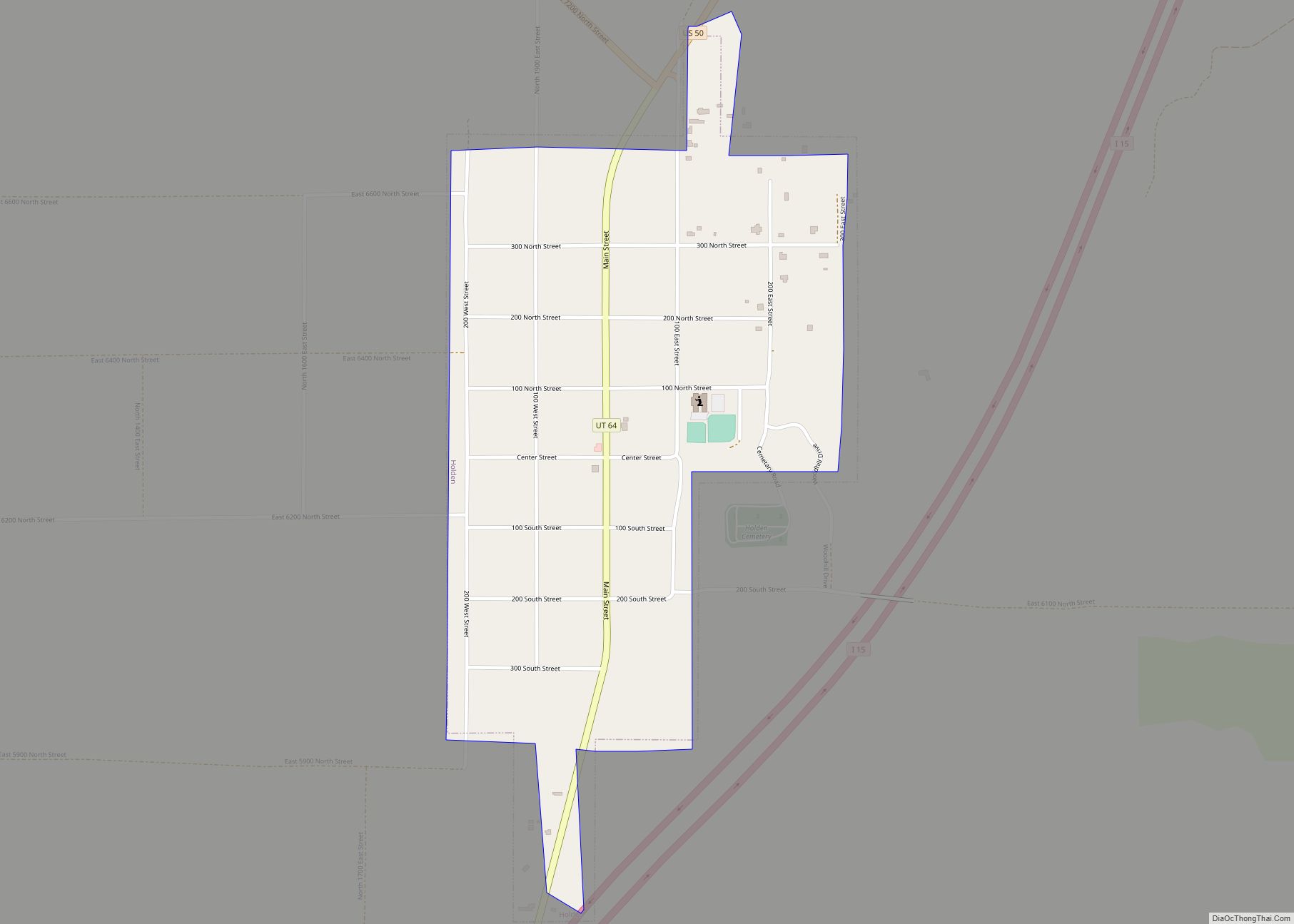
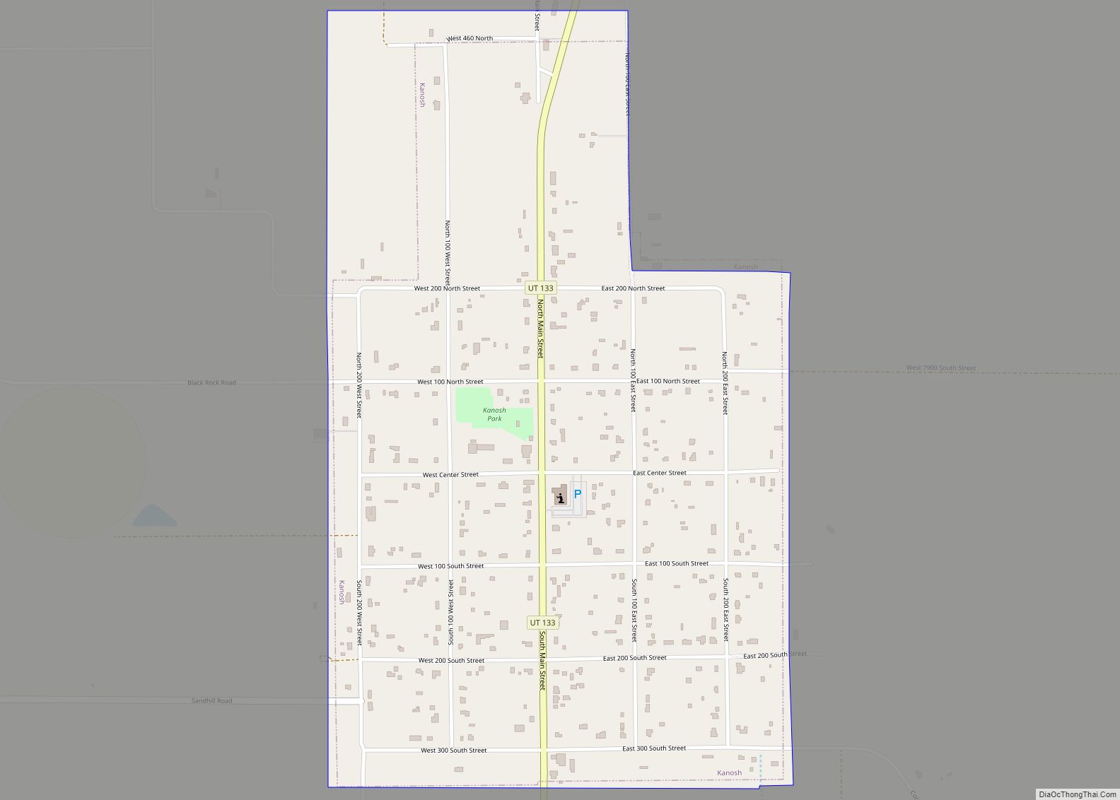
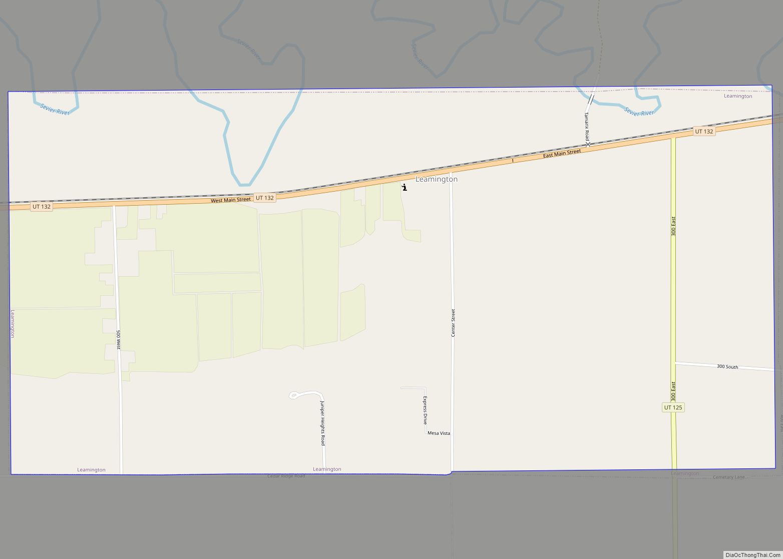
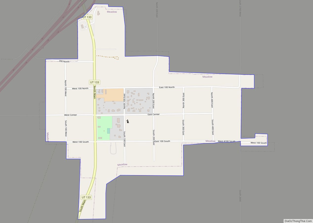
Online Interactive Map
Click on ![]() to view map in "full screen" mode.
to view map in "full screen" mode.
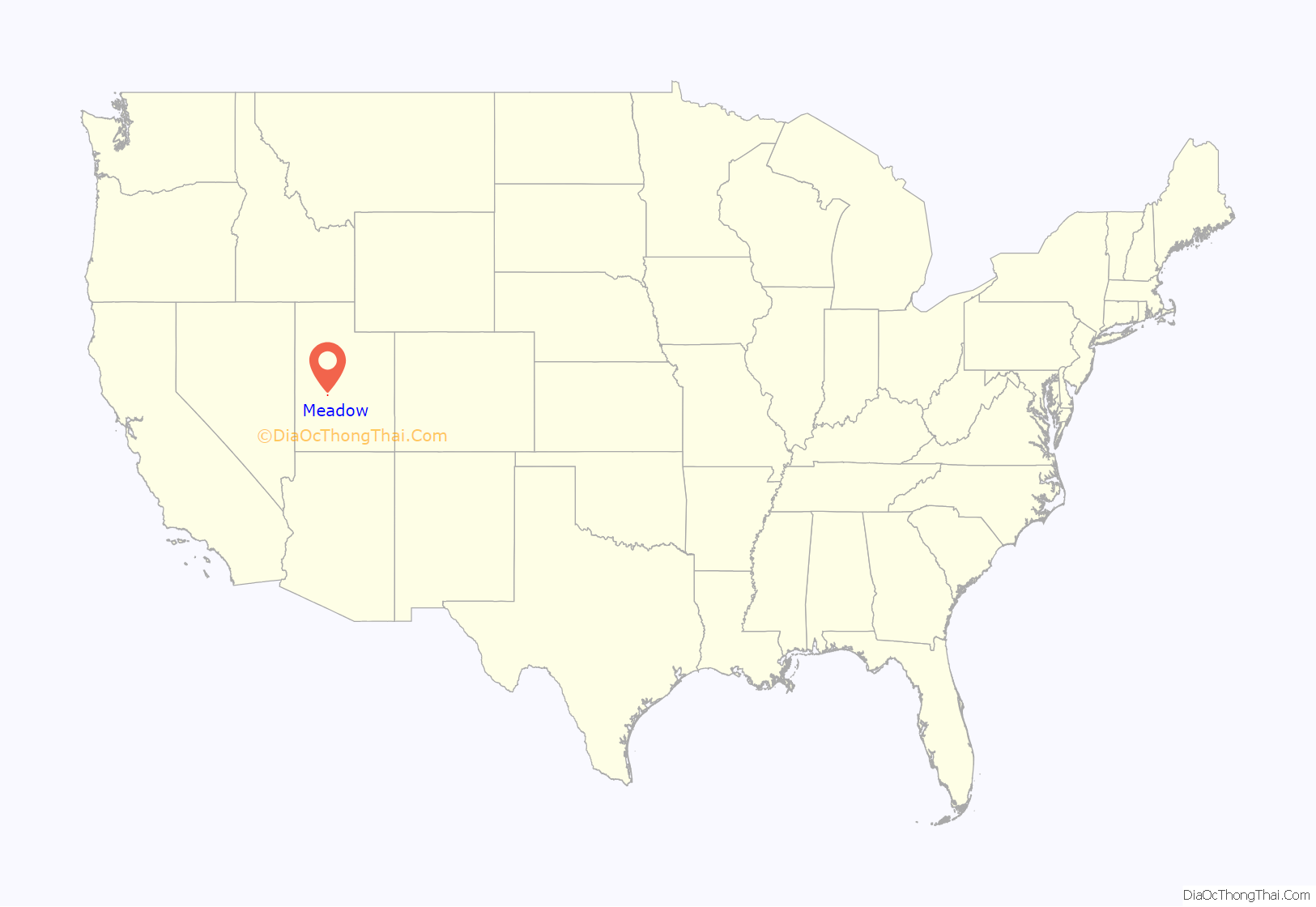
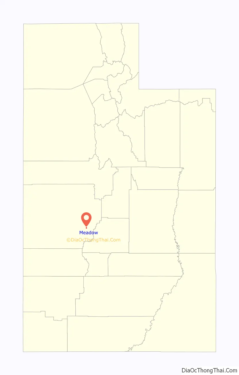
Meadow location map. Where is Meadow town?
History
From 1847, Meadow Creek was considered a good camp site on the Mormon Road to Southern California. Meadow Creek was the site where Walkara died in 1855. The town of Meadow Creek was settled in 1857 by ten Latter-day Saint families from Fillmore, Utah. The name of the town was changed to Meadow when it acquired its post office in 1864.
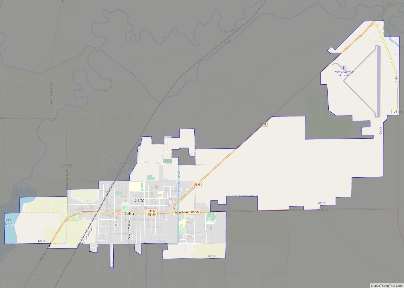
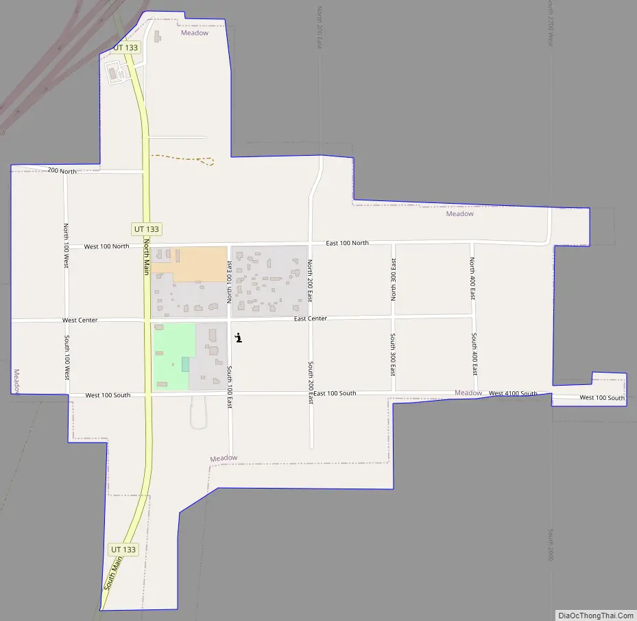
Meadow Road Map
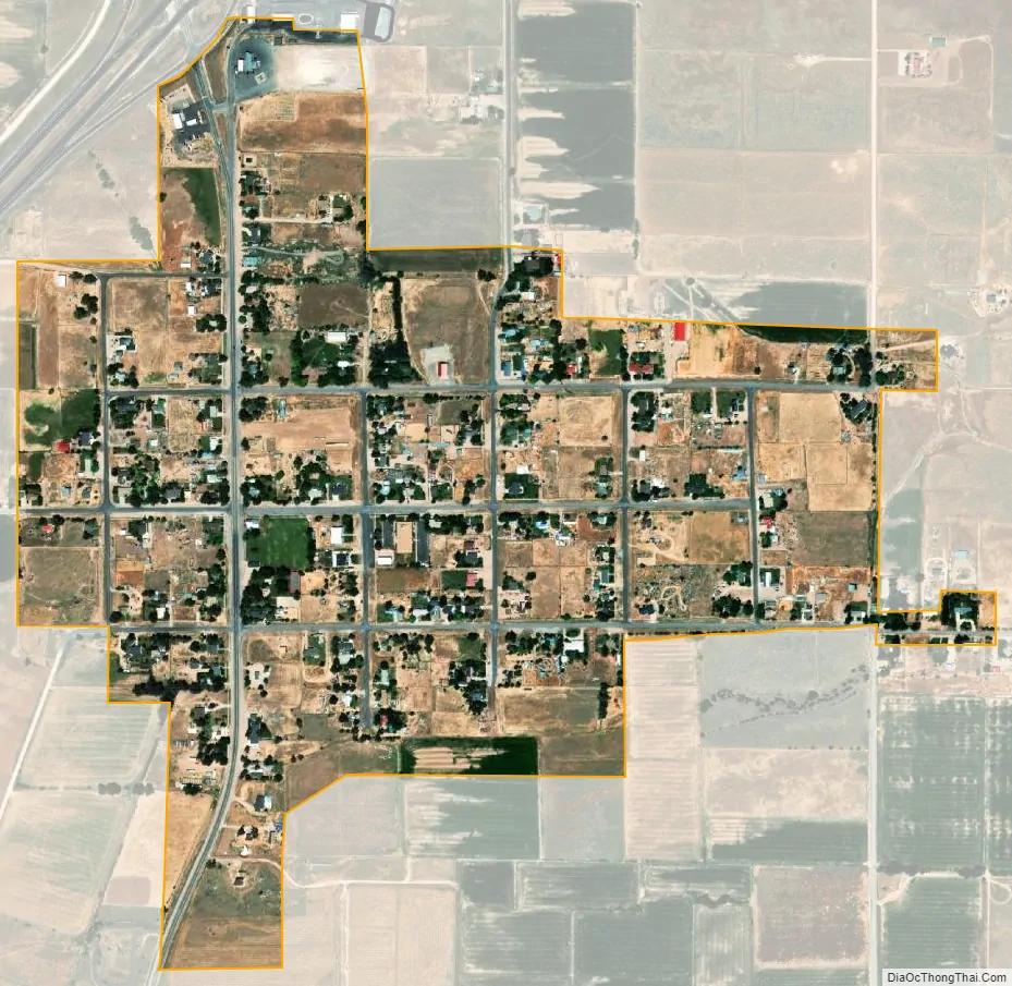
Meadow city Satellite Map
Geography
According to the United States Census Bureau, the town has a total area of 0.5 square miles (1.3 km), all land.
Climate
This climatic region is typified by large seasonal temperature differences, with warm to hot (and often humid) summers and cold (sometimes severely cold) winters. According to the Köppen Climate Classification system, Meadow has a humid continental climate, abbreviated “Dfb” on climate maps.
See also
Map of Utah State and its subdivision: Map of other states:- Alabama
- Alaska
- Arizona
- Arkansas
- California
- Colorado
- Connecticut
- Delaware
- District of Columbia
- Florida
- Georgia
- Hawaii
- Idaho
- Illinois
- Indiana
- Iowa
- Kansas
- Kentucky
- Louisiana
- Maine
- Maryland
- Massachusetts
- Michigan
- Minnesota
- Mississippi
- Missouri
- Montana
- Nebraska
- Nevada
- New Hampshire
- New Jersey
- New Mexico
- New York
- North Carolina
- North Dakota
- Ohio
- Oklahoma
- Oregon
- Pennsylvania
- Rhode Island
- South Carolina
- South Dakota
- Tennessee
- Texas
- Utah
- Vermont
- Virginia
- Washington
- West Virginia
- Wisconsin
- Wyoming