Milford is a city in Beaver County, Utah, United States. The population was 1,431 at the 2020 census, up from the 2010 figure of 1,409.
| Name: | Milford city |
|---|---|
| LSAD Code: | 25 |
| LSAD Description: | city (suffix) |
| State: | Utah |
| County: | Beaver County |
| Founded: | 1880 |
| Incorporated: | 1903 |
| Elevation: | 4,967 ft (1,514 m) |
| Total Area: | 2.14 sq mi (5.54 km²) |
| Land Area: | 2.14 sq mi (5.54 km²) |
| Water Area: | 0.00 sq mi (0.00 km²) |
| Total Population: | 1,431 |
| Population Density: | 670/sq mi (260/km²) |
| ZIP code: | 84751 |
| Area code: | 435 |
| FIPS code: | 4950040 |
| GNISfeature ID: | 1430317 |
| Website: | www.milfordcityutah.com |
Online Interactive Map
Click on ![]() to view map in "full screen" mode.
to view map in "full screen" mode.
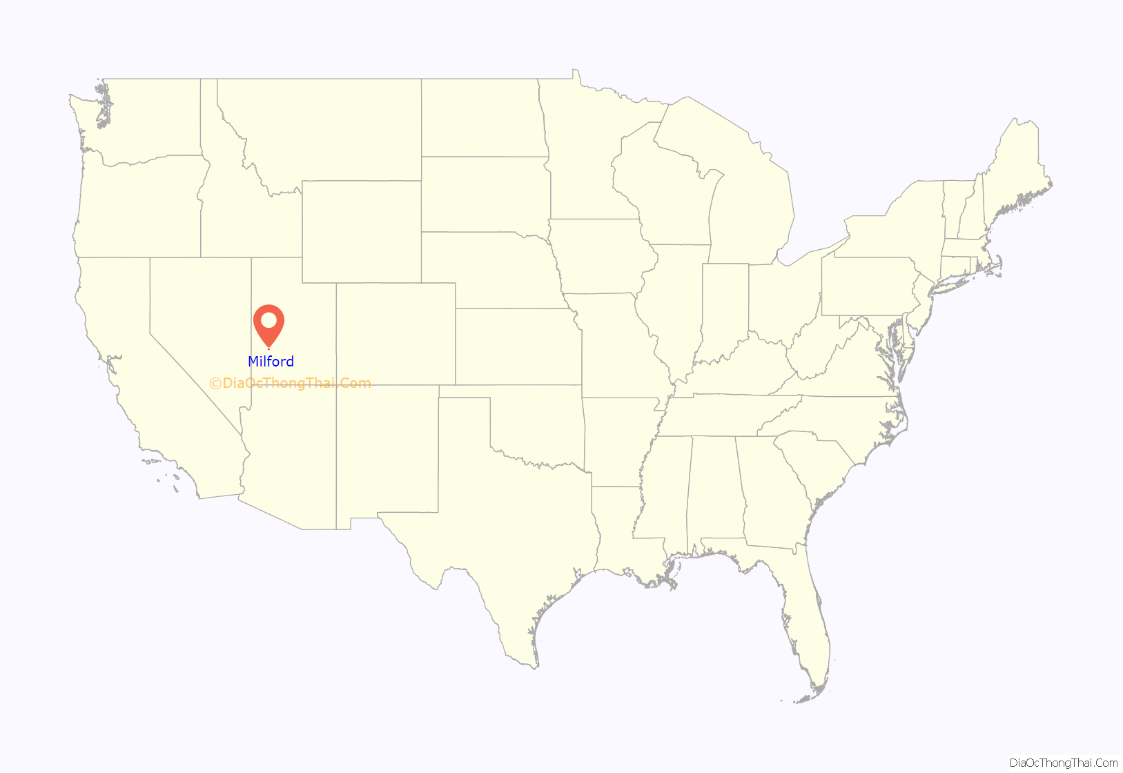
Milford location map. Where is Milford city?
History
Although settlers had established ranches in the area in the 1870s, Milford was not developed until after construction of the San Pedro, Los Angeles and Salt Lake Railroad in 1880, which established a station here. Milford is a constructed name, an abbreviated form of mill and ford.
During the Great Depression, workers from a nearby Civilian Conservation Corps camp constructed a road from Milford to Beaver, to improve connections.
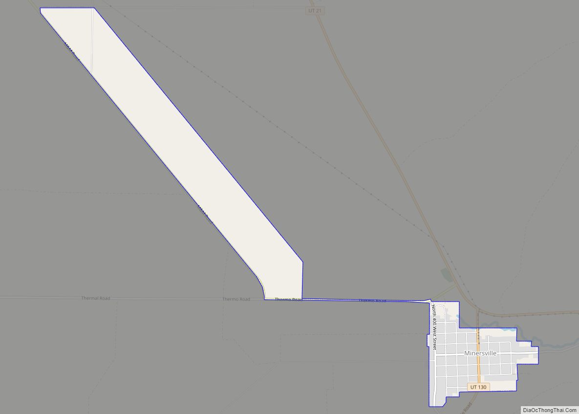
Milford Road Map
Milford city Satellite Map
Geography
Milford is located in east-central Beaver County in the Escalante Desert, a basin situated between the Mineral Mountains to the east and the smaller Star Range to the west. State Route 21 passes through the city, leading south 14 miles (23 km) to Minersville and northwest 84 miles (135 km) to U.S. Routes 6 and 50 near the Nevada line. State Route 257 runs north from Milford 74 miles (119 km) to Delta.
According to the United States Census Bureau, the city has a total area of 3.1 square miles (8.0 km), all land.
Climate
Milford has a semi-arid climate (Köppen BSk).
See also
Map of Utah State and its subdivision: Map of other states:- Alabama
- Alaska
- Arizona
- Arkansas
- California
- Colorado
- Connecticut
- Delaware
- District of Columbia
- Florida
- Georgia
- Hawaii
- Idaho
- Illinois
- Indiana
- Iowa
- Kansas
- Kentucky
- Louisiana
- Maine
- Maryland
- Massachusetts
- Michigan
- Minnesota
- Mississippi
- Missouri
- Montana
- Nebraska
- Nevada
- New Hampshire
- New Jersey
- New Mexico
- New York
- North Carolina
- North Dakota
- Ohio
- Oklahoma
- Oregon
- Pennsylvania
- Rhode Island
- South Carolina
- South Dakota
- Tennessee
- Texas
- Utah
- Vermont
- Virginia
- Washington
- West Virginia
- Wisconsin
- Wyoming


