Minersville is a town in southeastern Beaver County, Utah, United States. The population was 807 at the 2020 census, down from the 2010 figure of 907.
| Name: | Minersville town |
|---|---|
| LSAD Code: | 43 |
| LSAD Description: | town (suffix) |
| State: | Utah |
| County: | Beaver County |
| Elevation: | 5,282 ft (1,610 m) |
| Total Area: | 2.17 sq mi (5.63 km²) |
| Land Area: | 2.17 sq mi (5.63 km²) |
| Water Area: | 0.00 sq mi (0.00 km²) |
| Total Population: | 807 |
| Population Density: | 370/sq mi (140/km²) |
| ZIP code: | 84752 |
| Area code: | 435 |
| FIPS code: | 4950590 |
| GNISfeature ID: | 1430376 |
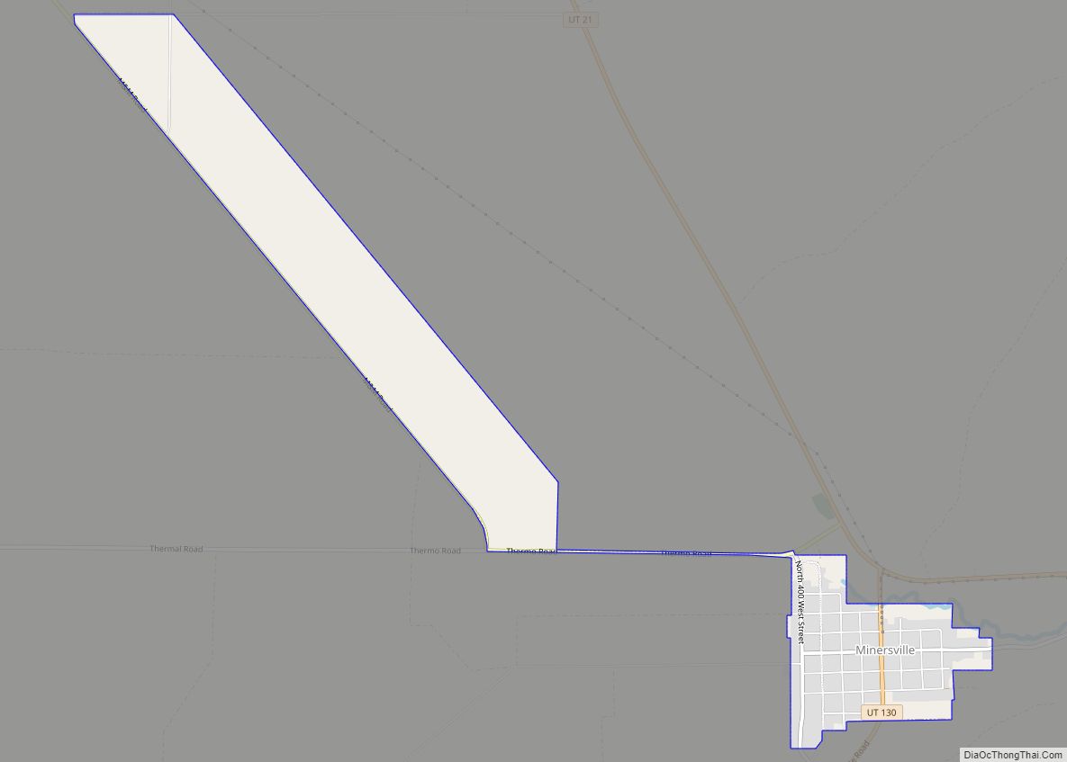
Online Interactive Map
Click on ![]() to view map in "full screen" mode.
to view map in "full screen" mode.
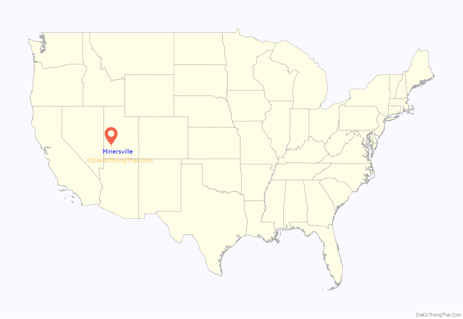
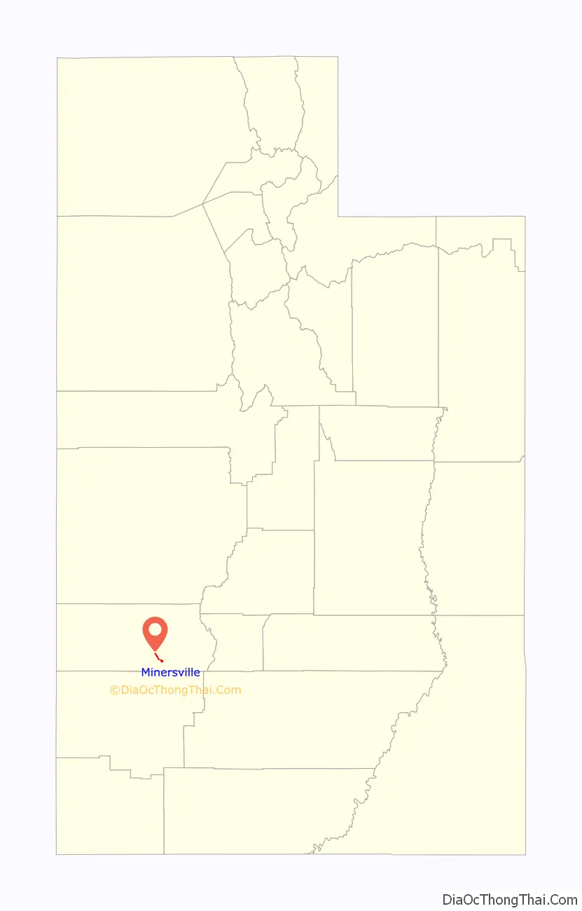
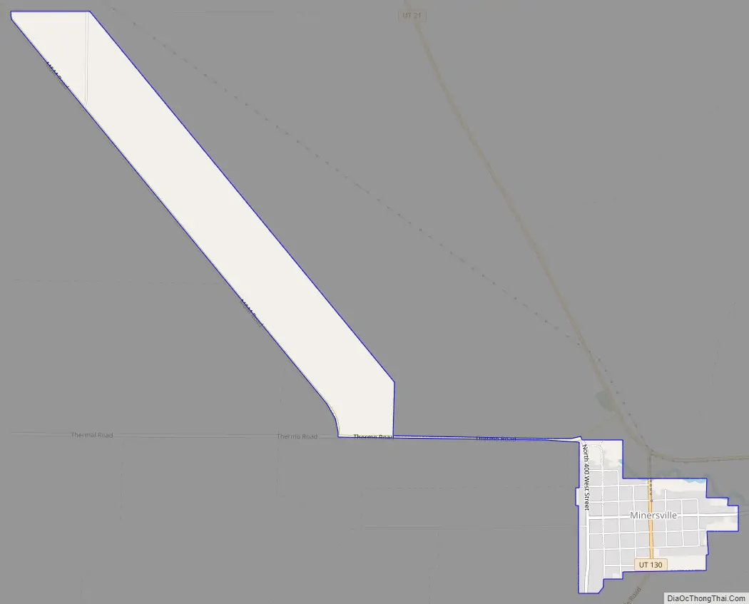
Minersville location map. Where is Minersville town?
History
Minersville was settled in 1859 at the direction of Brigham Young so a lead mine could be operated on the site where Jesse N. Smith and three others had found lead the previous year.
Minersville had 446 residents in 1870, 525 in 1900 and in 1930 had 815 residents.
Minersville Road Map
Minersville city Satellite Map

Geography
Minersville is located in south-central Beaver County in mountain foothills northwest of the Black Mountains, southwest of the Mineral Mountains, and at the northeast perimeter of the Escalante Desert.
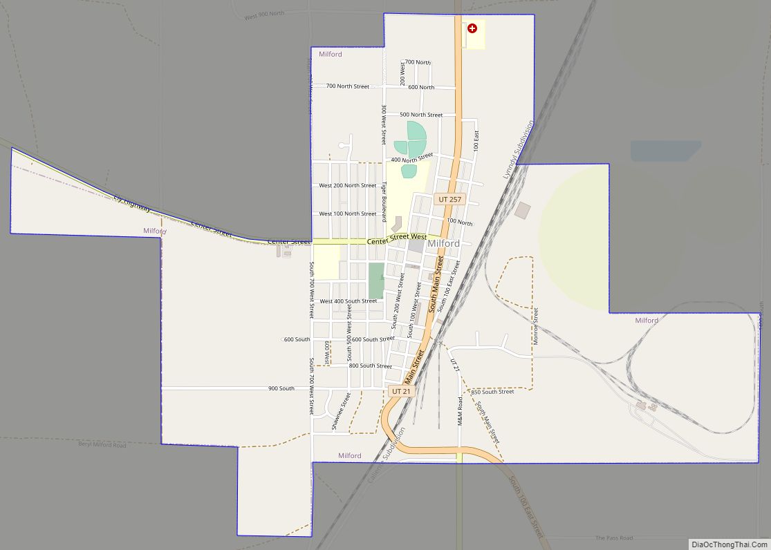
Utah State Route 21 runs through the northern side of the town, leading north 13 miles (21 km) to Milford and east 17 miles (27 km) to Beaver. Utah State Route 130 leads south from Minersville, 40 miles (64 km) to Cedar City.
According to the United States Census Bureau, the town has a total area of 0.66 square miles (1.7 km), all land.
Climate
The climate in this area has mild differences between highs and lows, and there is adequate rainfall year-round. According to the Köppen Climate Classification system, Minersville has a marine west coast climate, abbreviated “Cfb” on climate maps.
See also
Map of Utah State and its subdivision: Map of other states:- Alabama
- Alaska
- Arizona
- Arkansas
- California
- Colorado
- Connecticut
- Delaware
- District of Columbia
- Florida
- Georgia
- Hawaii
- Idaho
- Illinois
- Indiana
- Iowa
- Kansas
- Kentucky
- Louisiana
- Maine
- Maryland
- Massachusetts
- Michigan
- Minnesota
- Mississippi
- Missouri
- Montana
- Nebraska
- Nevada
- New Hampshire
- New Jersey
- New Mexico
- New York
- North Carolina
- North Dakota
- Ohio
- Oklahoma
- Oregon
- Pennsylvania
- Rhode Island
- South Carolina
- South Dakota
- Tennessee
- Texas
- Utah
- Vermont
- Virginia
- Washington
- West Virginia
- Wisconsin
- Wyoming