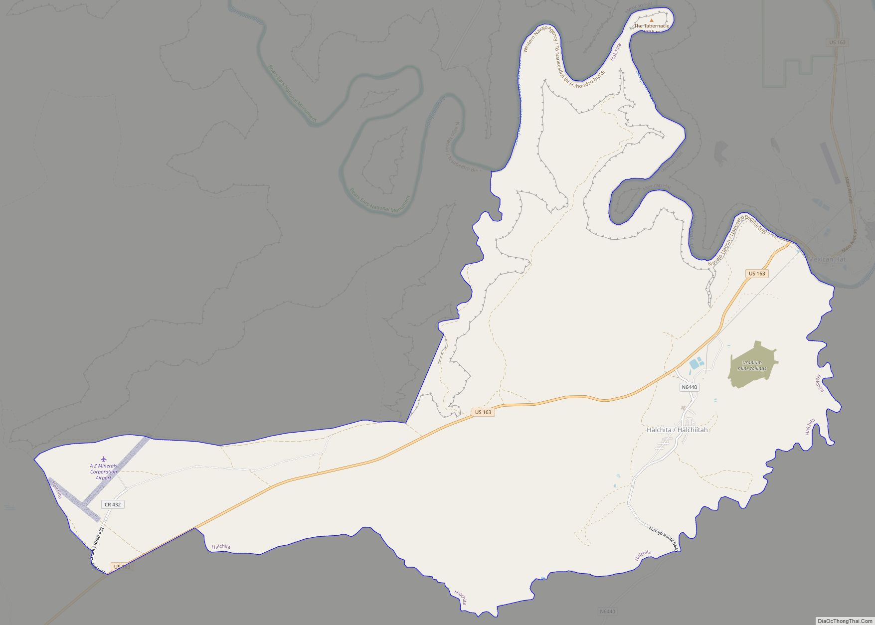
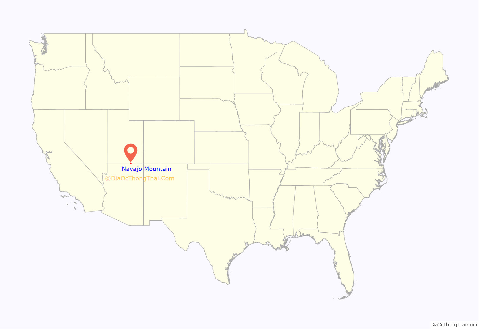
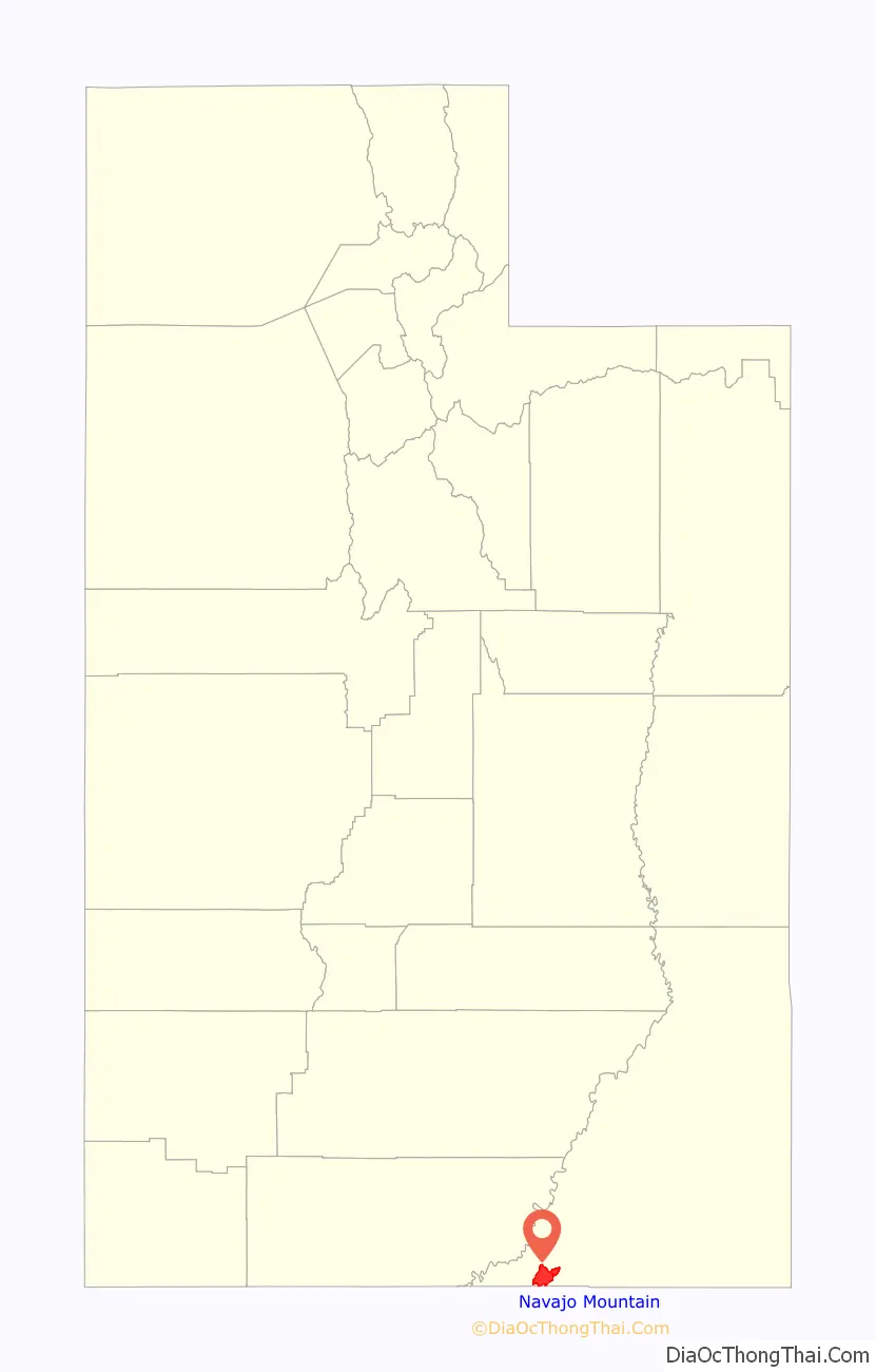
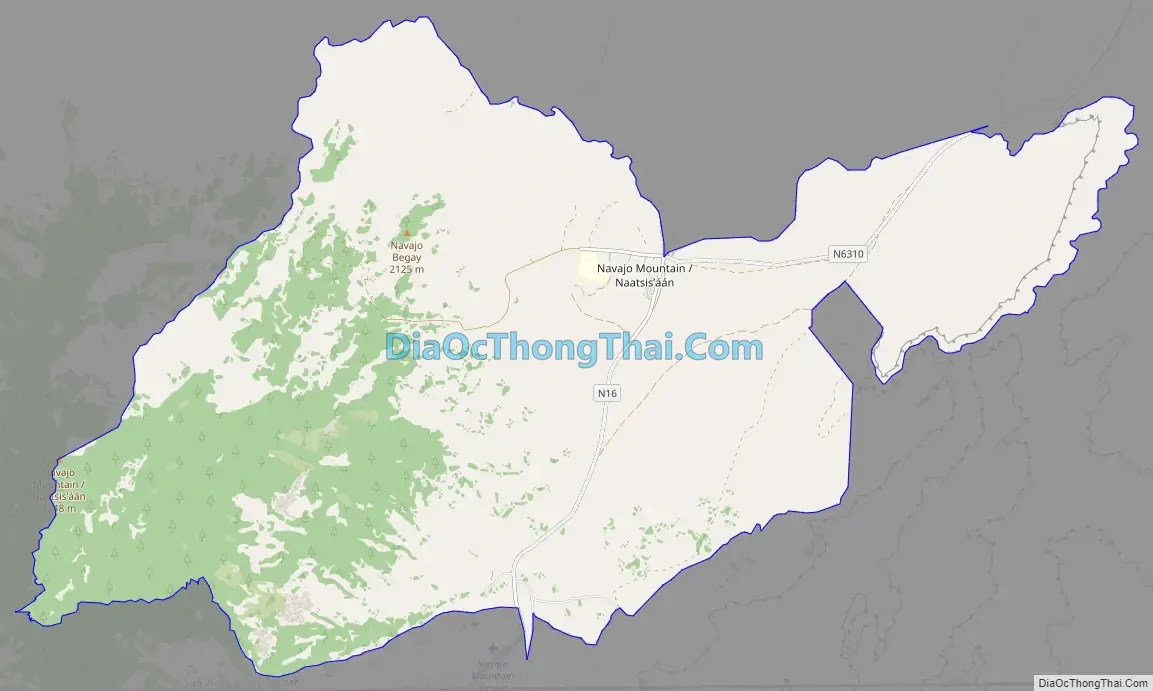
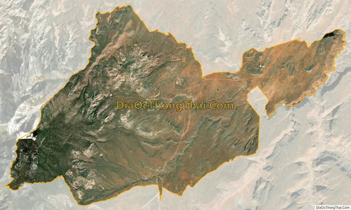
Navajo Mountain (Navajo: Naatsisʼáán) is a census-designated place (CDP) on the Navajo Nation in southwestern San Juan County, Utah, United States. The 2020 census was recorded as 450.
| Name: | Navajo Mountain CDP |
|---|---|
| LSAD Code: | 57 |
| LSAD Description: | CDP (suffix) |
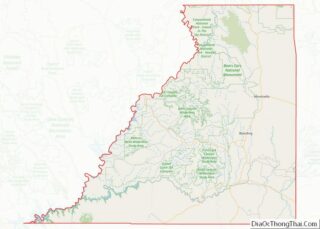
| State: | Utah |
| County: | San Juan County |
| Elevation: | 6,024 ft (1,836 m) |
| Total Area: | 31.6 sq mi (81.8 km²) |
| Land Area: | 31.6 sq mi (81.8 km²) |
| Water Area: | 0.0 sq mi (0.0 km²) |
| Total Population: | 379 |
| Population Density: | 12.0/sq mi (4.6/km²) |
| FIPS code: | 4953890 |
| GNISfeature ID: | 1455975 |
Online Interactive Map
Click on ![]() to view map in "full screen" mode.
to view map in "full screen" mode.
Geography
The Navajo Mountain CDP is located at 37°2′58″N 110°46′26″W / 37.04944°N 110.77389°W / 37.04944; -110.77389 (37.049409, -110.773998).
According to the United States Census Bureau, the CDP has a total area of 31.6 square miles (82 km), all land.
See also
Map of Utah State and its subdivision: Map of other states:- Alabama
- Alaska
- Arizona
- Arkansas
- California
- Colorado
- Connecticut
- Delaware
- District of Columbia
- Florida
- Georgia
- Hawaii
- Idaho
- Illinois
- Indiana
- Iowa
- Kansas
- Kentucky
- Louisiana
- Maine
- Maryland
- Massachusetts
- Michigan
- Minnesota
- Mississippi
- Missouri
- Montana
- Nebraska
- Nevada
- New Hampshire
- New Jersey
- New Mexico
- New York
- North Carolina
- North Dakota
- Ohio
- Oklahoma
- Oregon
- Pennsylvania
- Rhode Island
- South Carolina
- South Dakota
- Tennessee
- Texas
- Utah
- Vermont
- Virginia
- Washington
- West Virginia
- Wisconsin
- Wyoming