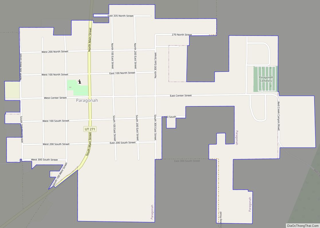
Paragonah (/ˌpærəˈɡuːnə/ PARR-ə-GOO-nə) is a town in Iron County, Utah, United States. The population was 488 at the 2010 census.
| Name: | Paragonah town |
|---|---|
| LSAD Code: | 43 |
| LSAD Description: | town (suffix) |
| State: | Utah |
| County: | Iron County |
| Founded: | 1851 |
| Incorporated: | April 3, 1916 |
| Elevation: | 5,879 ft (1,792 m) |
| Total Area: | 0.67 sq mi (1.74 km²) |
| Land Area: | 0.67 sq mi (1.74 km²) |
| Water Area: | 0.00 sq mi (0.00 km²) |
| Total Population: | 488 |
| Population Density: | 809.81/sq mi (312.53/km²) |
| ZIP code: | 84760 |
| Area code: | 435 |
| FIPS code: | 4957960 |
| GNISfeature ID: | 1431094 |
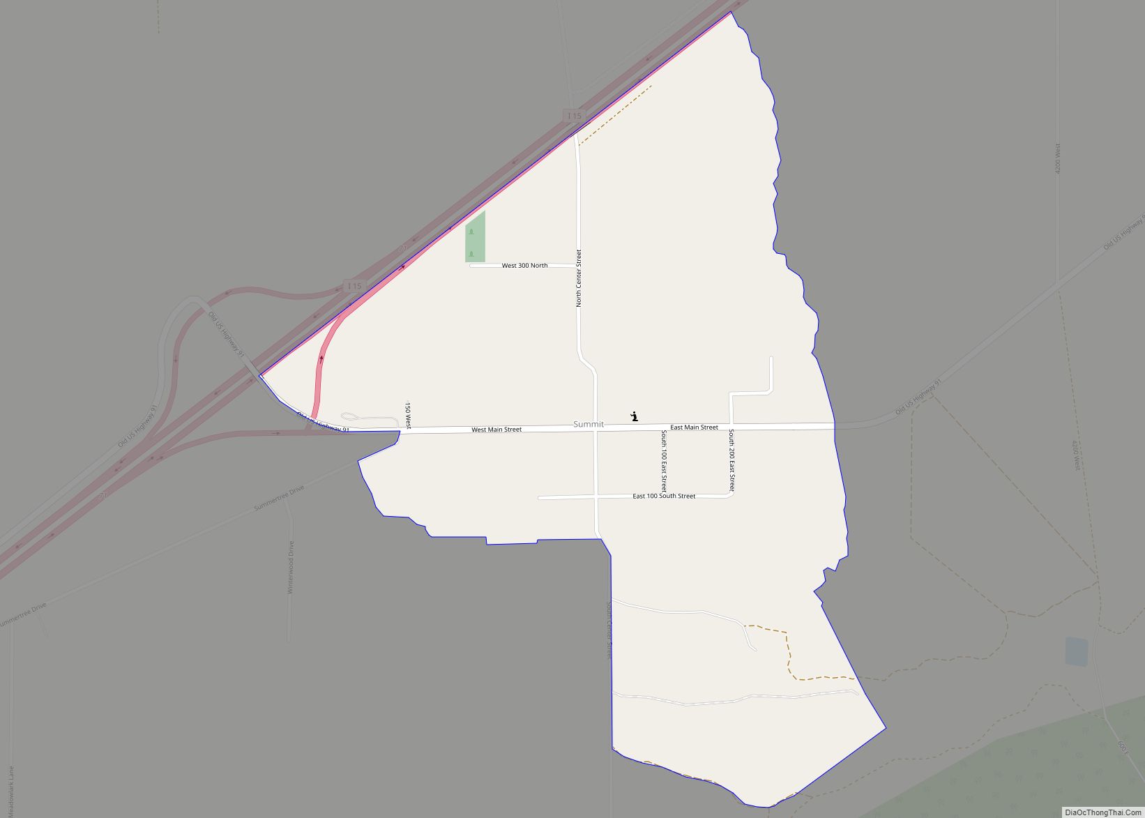
Online Interactive Map
Click on ![]() to view map in "full screen" mode.
to view map in "full screen" mode.
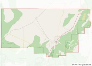
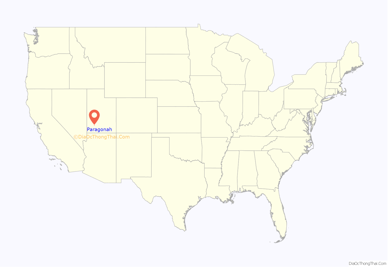
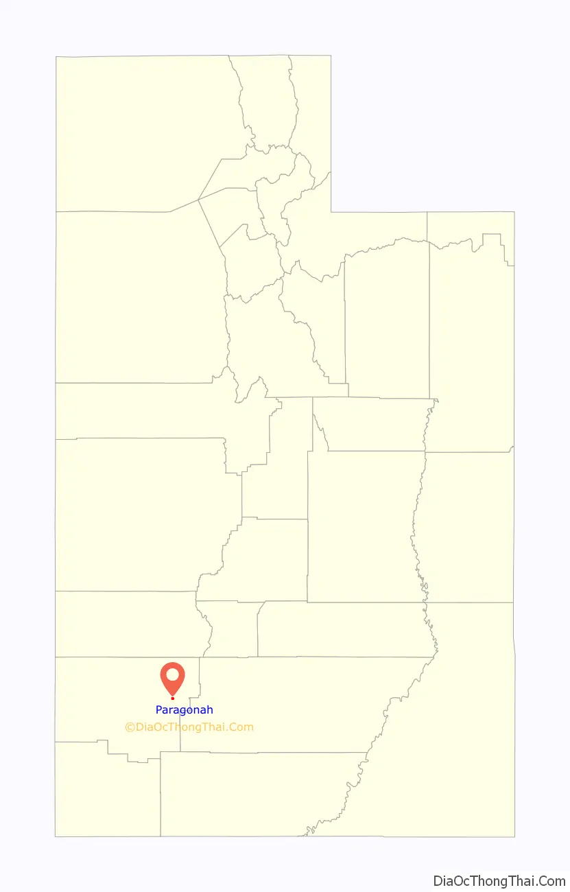
Paragonah location map. Where is Paragonah town?
History
Paragonah was settled by residents from the nearby town of Parowan in the early 1850s. Parowan residents found meadows next to Red Creek that provided ideal locations for farming. The settlement was first known as Red Creek, but the name was later changed to Paragoonah and then Paragonah. There are conflicting sources as to the name’s precise meaning, but it is of Southern Paiute origin and apparently is a reference to the red color of the water found in the area. Paragonah was incorporated as a town in 1916.
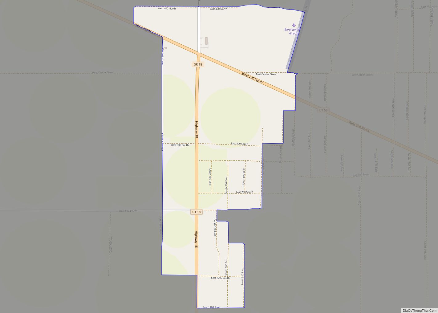
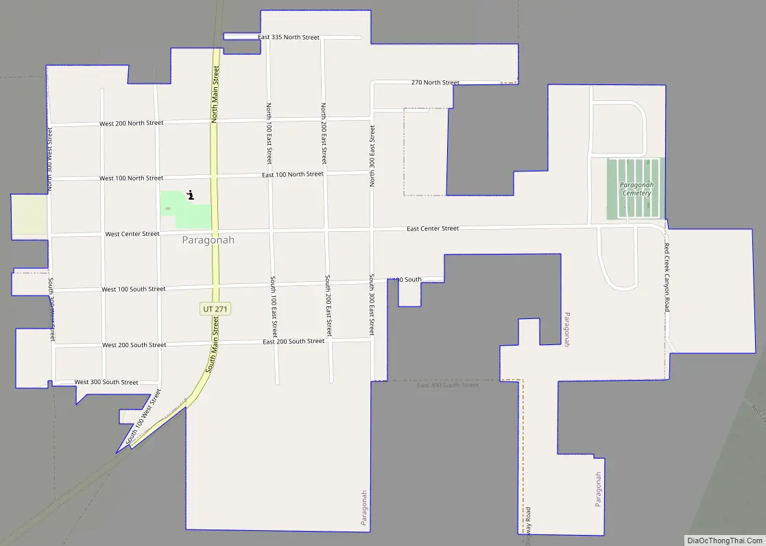
Paragonah Road Map
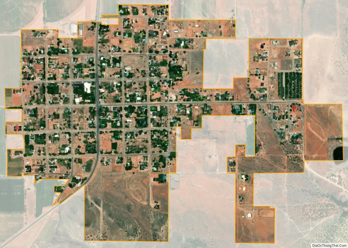
Paragonah city Satellite Map
Geography
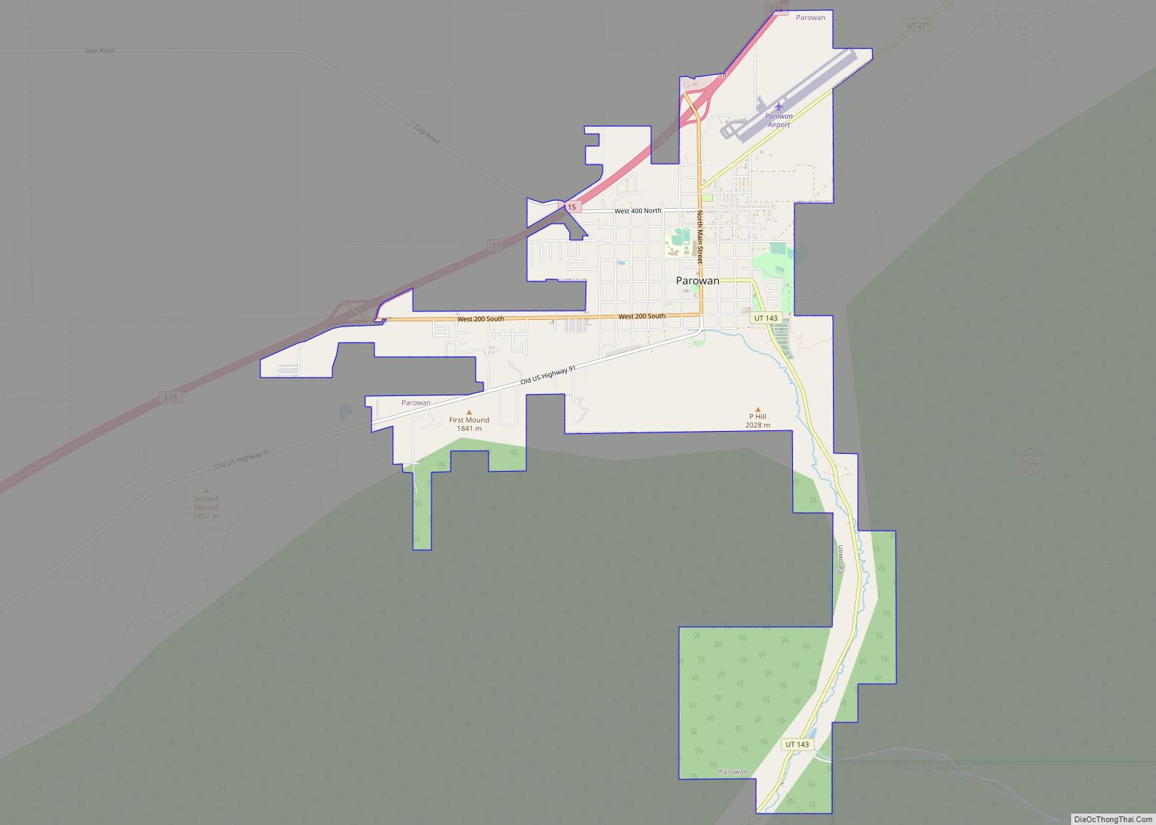
Paragonah is in northeastern Iron County, 4 miles (6 km) northeast of Parowan, the county seat. Interstate 15 passes northwest of the town, with access from Exit 82. Parogonah is 23 miles (37 km) northeast of Cedar City and 228 miles (367 km) south of Salt Lake City. According to the United States Census Bureau, the town has a total area of 0.64 square miles (1.66 km), all land.
See also
Map of Utah State and its subdivision: Map of other states:- Alabama
- Alaska
- Arizona
- Arkansas
- California
- Colorado
- Connecticut
- Delaware
- District of Columbia
- Florida
- Georgia
- Hawaii
- Idaho
- Illinois
- Indiana
- Iowa
- Kansas
- Kentucky
- Louisiana
- Maine
- Maryland
- Massachusetts
- Michigan
- Minnesota
- Mississippi
- Missouri
- Montana
- Nebraska
- Nevada
- New Hampshire
- New Jersey
- New Mexico
- New York
- North Carolina
- North Dakota
- Ohio
- Oklahoma
- Oregon
- Pennsylvania
- Rhode Island
- South Carolina
- South Dakota
- Tennessee
- Texas
- Utah
- Vermont
- Virginia
- Washington
- West Virginia
- Wisconsin
- Wyoming