Perry is a city in Box Elder County, Utah, United States. The population was 4,512 at the 2010 census.
| Name: | Perry city |
|---|---|
| LSAD Code: | 25 |
| LSAD Description: | city (suffix) |
| State: | Utah |
| County: | Box Elder County |
| Elevation: | 4,367 ft (1,331 m) |
| Total Area: | 8.00 sq mi (20.72 km²) |
| Land Area: | 8.00 sq mi (20.72 km²) |
| Water Area: | 0.00 sq mi (0.01 km²) |
| Total Population: | 4,512 |
| Population Density: | 656.08/sq mi (253.32/km²) |
| ZIP code: | 84302 |
| Area code: | 435 |
| FIPS code: | 4959390 |
| GNISfeature ID: | 1455150 |
| Website: | www.perrycity.org |
Online Interactive Map
Click on ![]() to view map in "full screen" mode.
to view map in "full screen" mode.
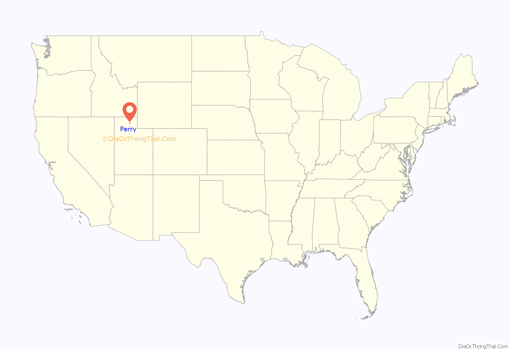
Perry location map. Where is Perry city?
History
Land in the area now known as Perry was first claimed in 1851 by Orrin Porter Rockwell and his brother Merritt, at a place now called Porter Spring. However, they only laid claim to the land and did not build a residence. Settlement by LDS pioneers began in 1853, when William Plummer Tippets built a cabin at the settlement known as “Three Mile Creek”, there being a creek three miles south of Box Elder (now Brigham City). Another settlement known as “Welsh Settlement” was midway between Three Mile Creek and Box Elder, which joined with Three Mile Creek in 1869. In 1898 the community was renamed Perry after Gustavus Adolphus Perry and his family, who were among the early settlers.
In 1854 Gustavus Adolphus Perry was made LDS branch president at the location. It had various branch presidents from then until 1877. In 1877 it was made a ward with Orrin Alonzo Perry as bishop. In 1930 there were 341 inhabitants in Perry. It still only had enough Latter-day Saints for one ward. In the spring of 2008 the Perry Utah Stake was created by a division of the Willard Utah Stake. This stake consists of nine wards, but one of the wards in the Willard Stake is a Perry Ward as well.
In June 1896 a partially completed reservoir at the mouth of Three Mile Creek Canyon (now Perry Canyon) overflowed, flooding much of the town, destroying homes and covering farms with mud and gravel. A second flood in 1923 caused less damage.
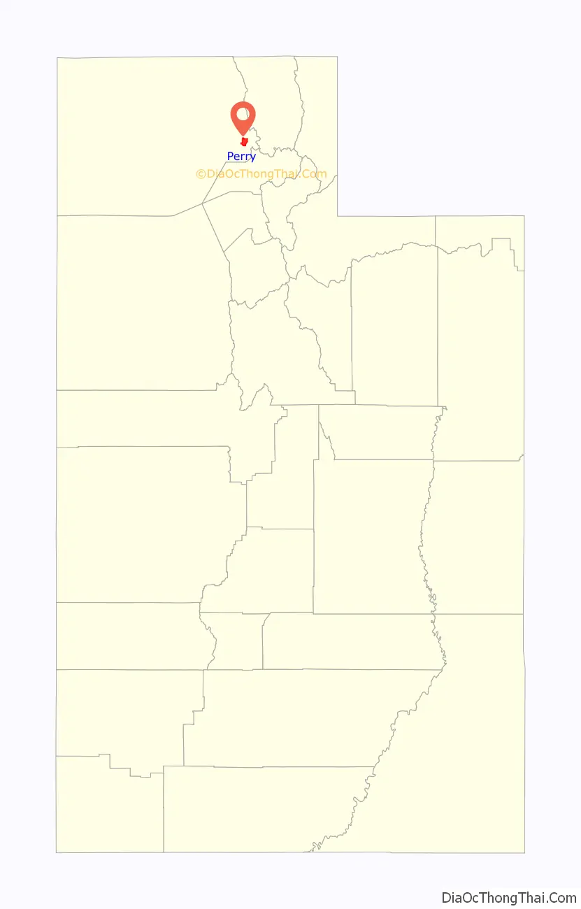
Perry Road Map
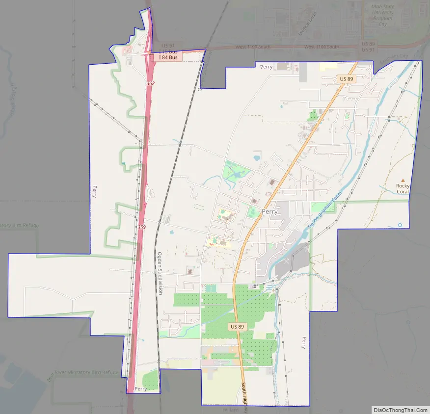
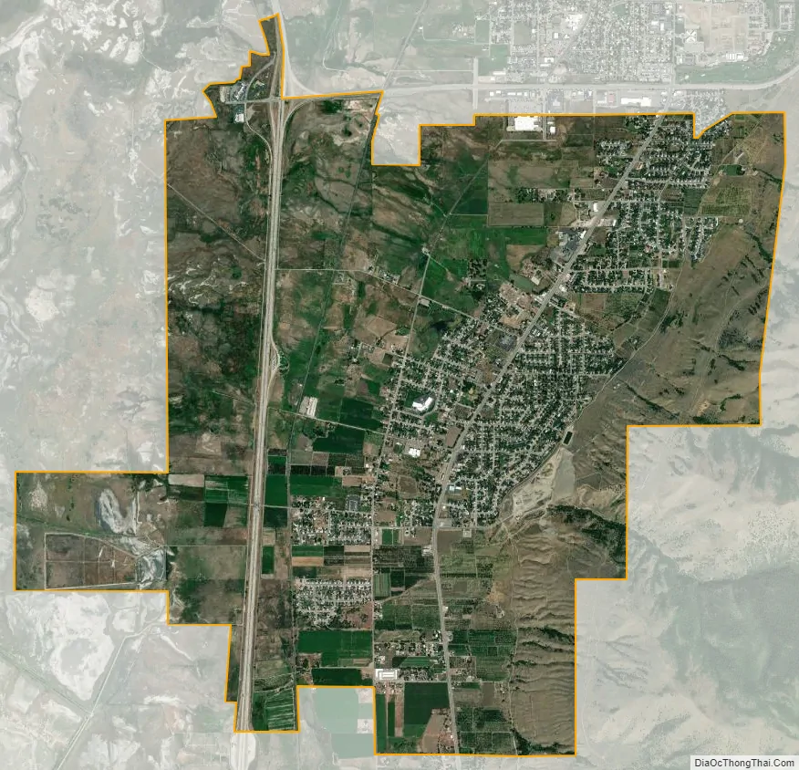
Perry city Satellite Map
Geography
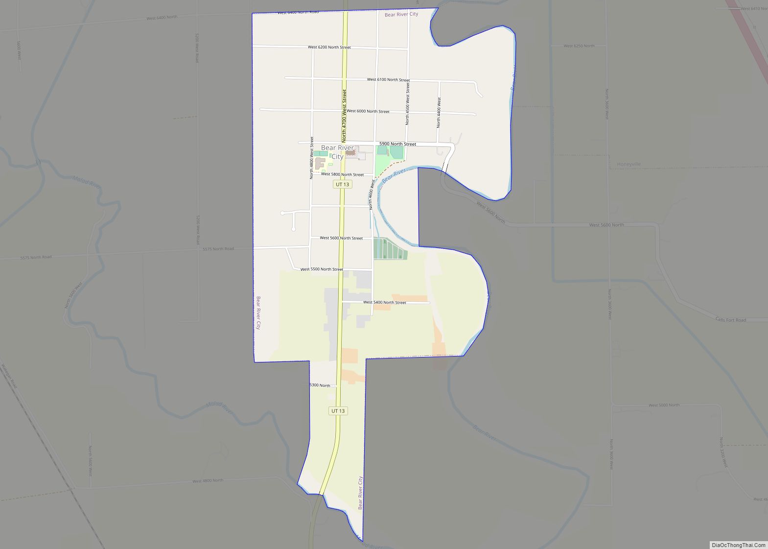
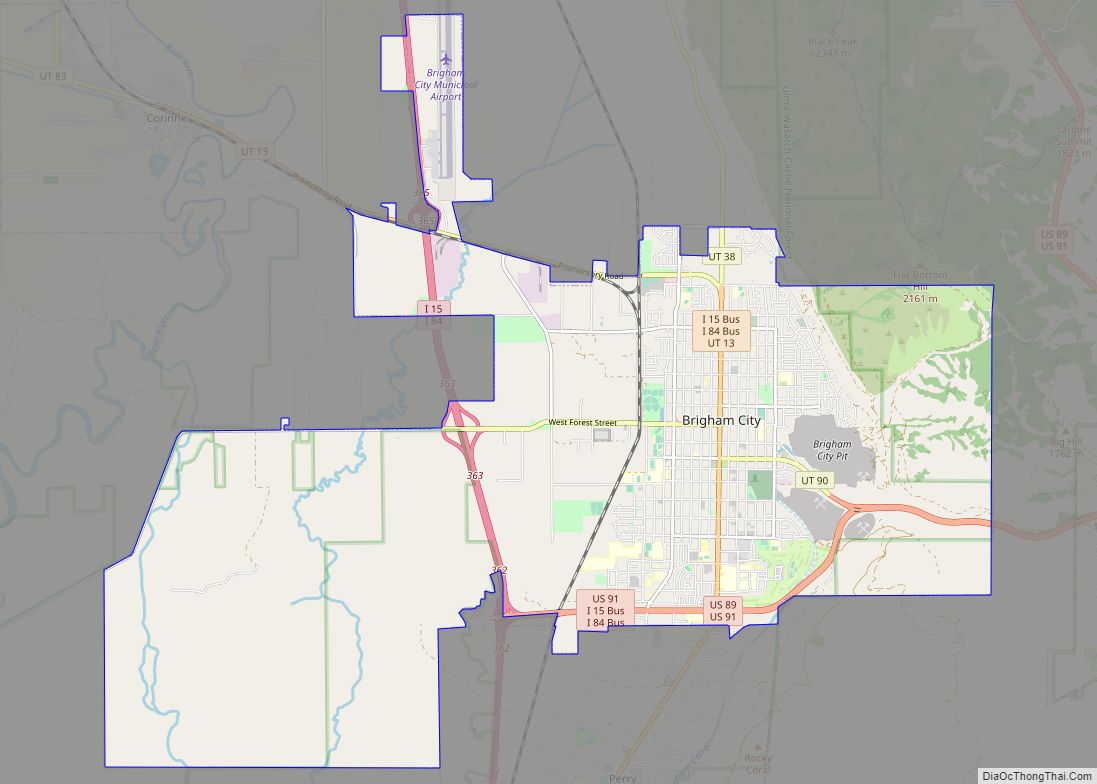
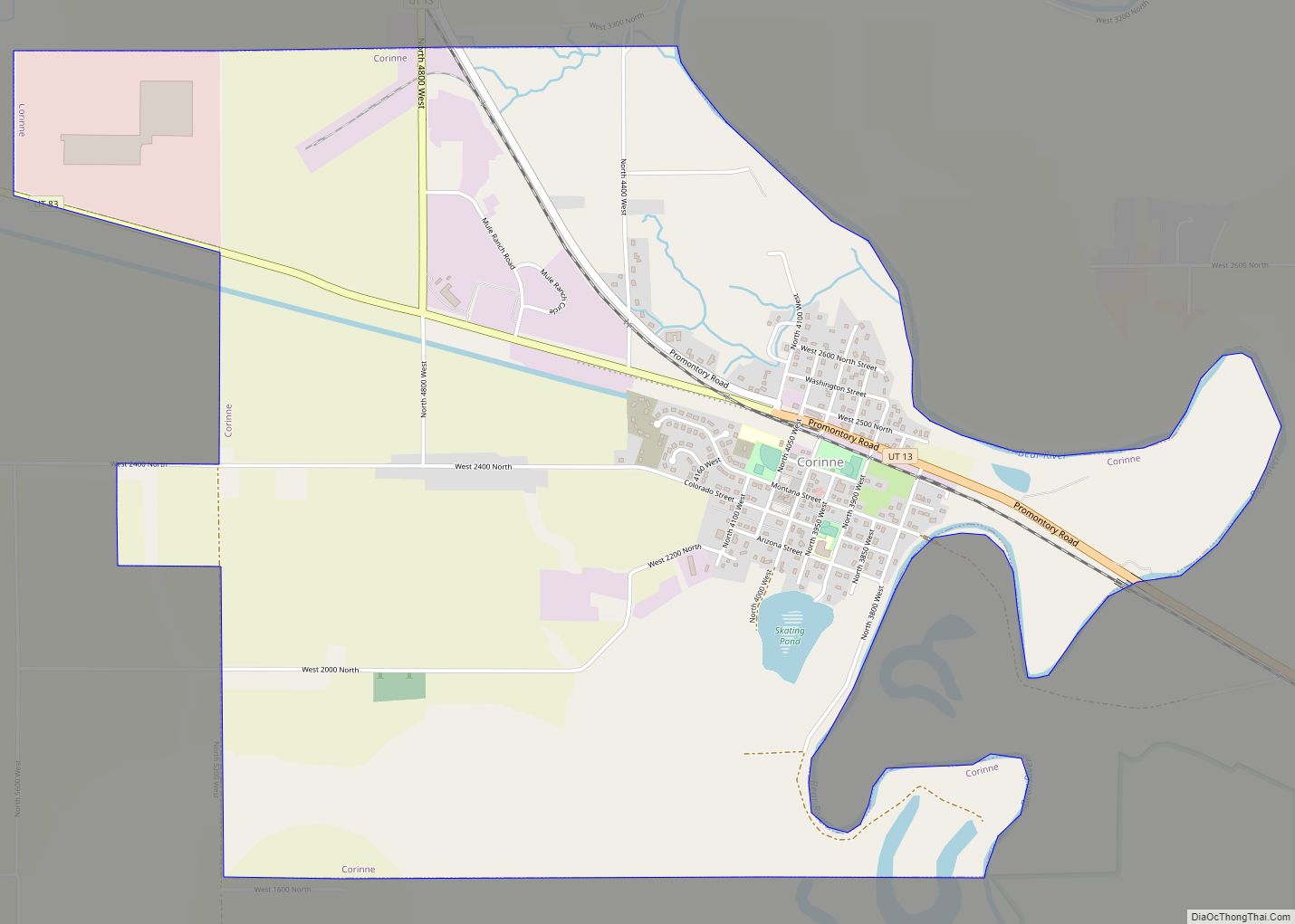
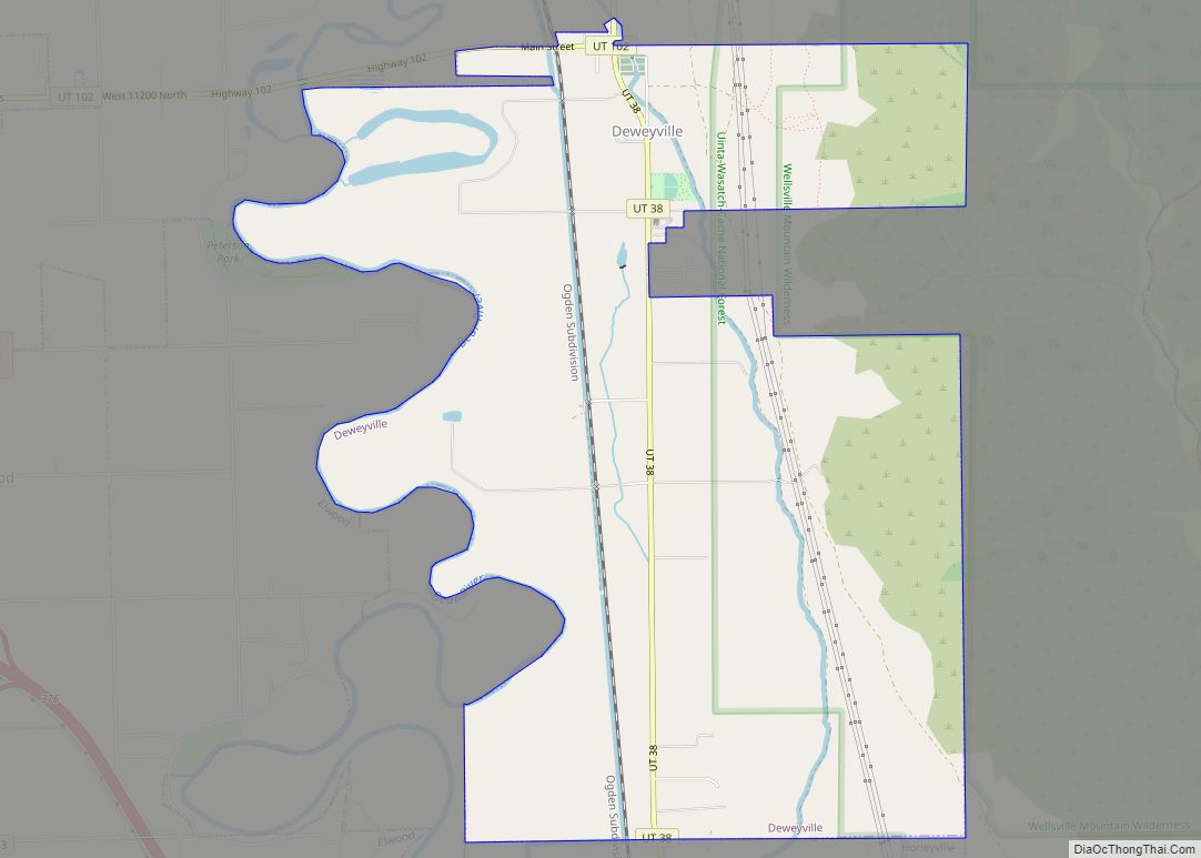
Perry is located in southeastern Box Elder County and is bordered by Brigham City to the north and Willard to the south. The east side of the city is bordered by Cache National Forest at the northern end of the Wasatch Range.
Interstate Highways 15 and 84 run through the western side of the city, with access south of the city from Exit 357 in Willard and north of the city from Exit 362 through Brigham City. U.S. Route 89 runs through the center of the city.
The city has historically been primarily rural and agricultural, consisting of family dairies, cattle farms, and fruit orchards, with many fruit stands along U.S. 89 through Box Elder County to southern Idaho known as Utah’s Fruit Belt. It is now primarily a suburban residential community, with some commercial activity along the northern border with Brigham City and along U.S. 89.
According to the United States Census Bureau, the city has a total area of 8.0 square miles (20.8 km), all land.
See also
Map of Utah State and its subdivision: Map of other states:- Alabama
- Alaska
- Arizona
- Arkansas
- California
- Colorado
- Connecticut
- Delaware
- District of Columbia
- Florida
- Georgia
- Hawaii
- Idaho
- Illinois
- Indiana
- Iowa
- Kansas
- Kentucky
- Louisiana
- Maine
- Maryland
- Massachusetts
- Michigan
- Minnesota
- Mississippi
- Missouri
- Montana
- Nebraska
- Nevada
- New Hampshire
- New Jersey
- New Mexico
- New York
- North Carolina
- North Dakota
- Ohio
- Oklahoma
- Oregon
- Pennsylvania
- Rhode Island
- South Carolina
- South Dakota
- Tennessee
- Texas
- Utah
- Vermont
- Virginia
- Washington
- West Virginia
- Wisconsin
- Wyoming