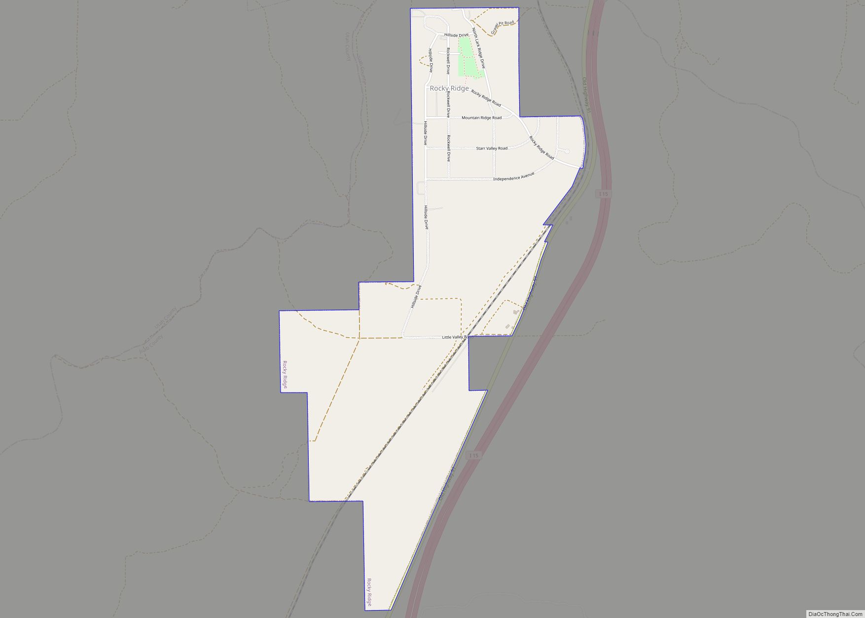
Rocky Ridge is a town on the northeastern edge of Juab County, Utah, United States. As of the 2010 census it had a population of 733, and in 2018 the estimated population was 833.
The town is located on the northern edge of the Juab Valley in the eastern foothills of the Wasatch Range, but entirely west of Interstate 15 (I‑15). It is part of the Provo–Orem, Utah Metropolitan Statistical Area.
While there is a “Rocky Ridge” and a “Rocky Ridge Canyon” in northeastern Juab County (both located east of the city of Nephi, approximately 16 miles [26 km] south‑southeast of the community), the town was named for “the rocks, in a bountiful array of types and colors, strewn plentifully across the surrounding ridges separating Juab and Utah counties,” according to the town website.
| Name: | Rocky Ridge town |
|---|---|
| LSAD Code: | 43 |
| LSAD Description: | town (suffix) |
| State: | Utah |
| County: | Juab County |
| Incorporated: | January 1, 1998 |
| Elevation: | 4,951 ft (1,509 m) |
| Total Area: | 1.71 sq mi (4.44 km²) |
| Land Area: | 1.71 sq mi (4.44 km²) |
| Water Area: | 0.00 sq mi (0.00 km²) |
| Total Population: | 733 |
| Population Density: | 500.58/sq mi (193.32/km²) |
| ZIP code: | 84645 |
| FIPS code: | 4964590 |
| GNISfeature ID: | 2412568 |
| Website: | www.rockyridgetown.com |
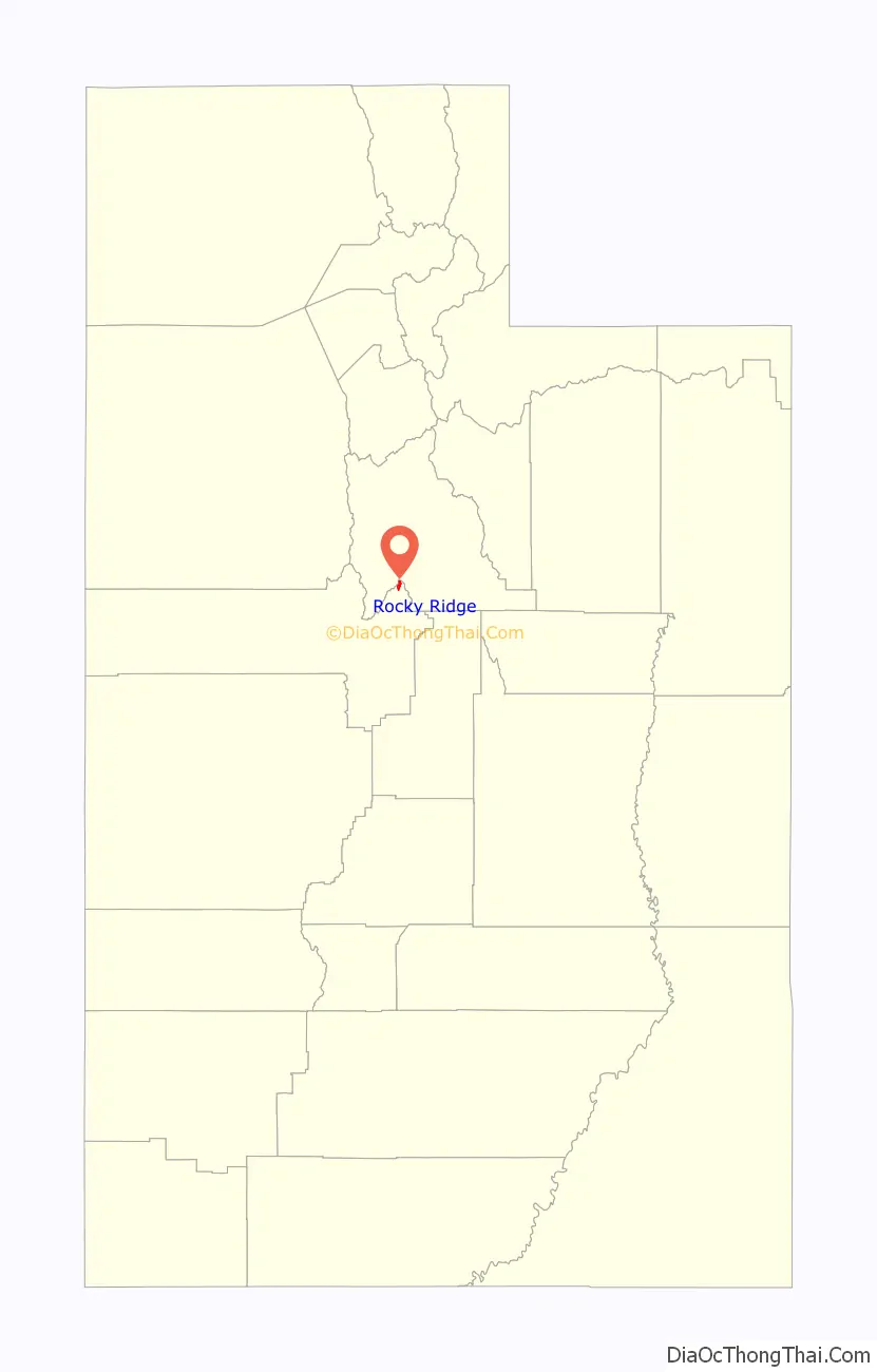
Online Interactive Map
Click on ![]() to view map in "full screen" mode.
to view map in "full screen" mode.
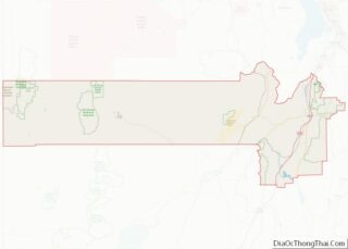
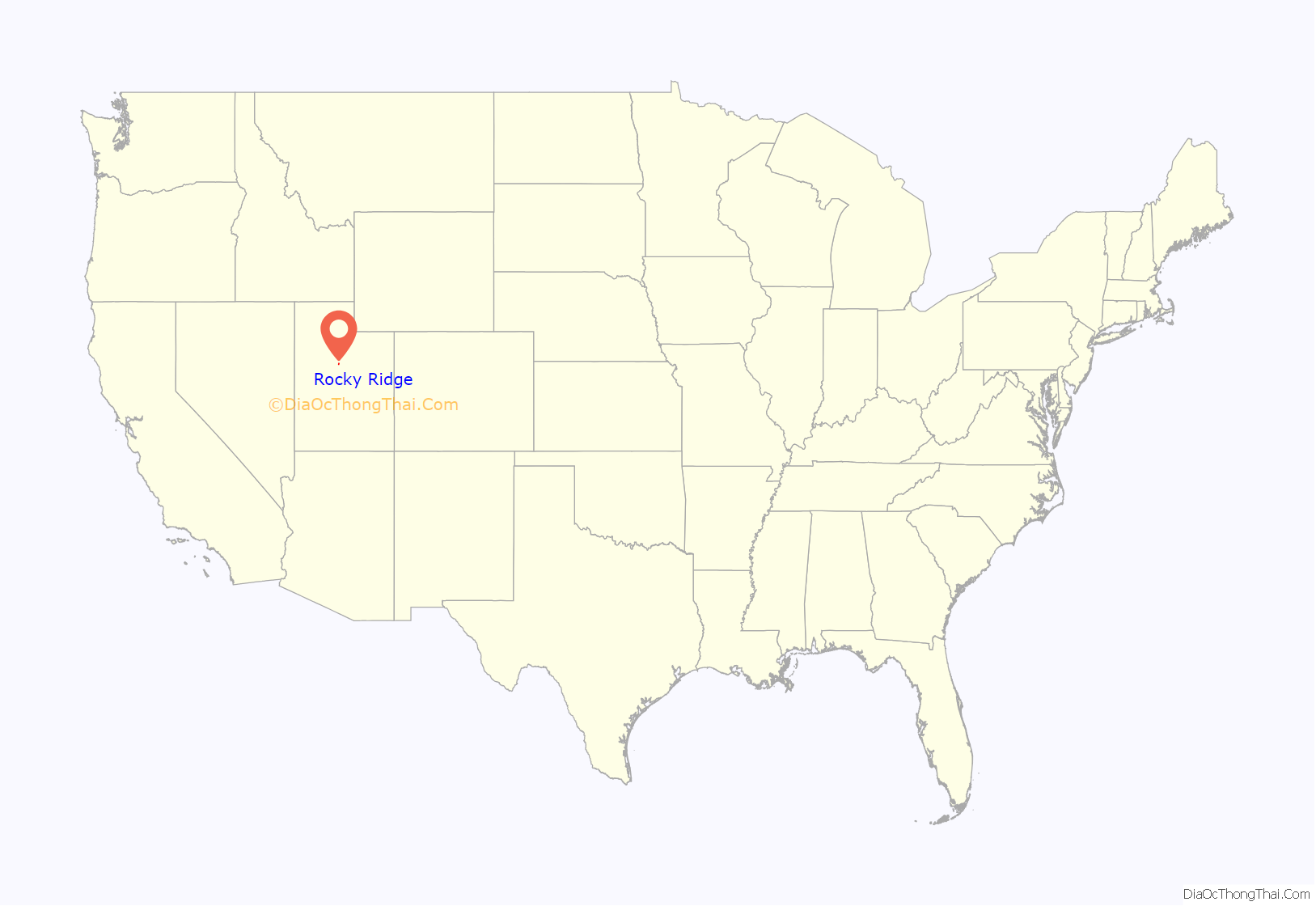
Rocky Ridge location map. Where is Rocky Ridge town?
History
The original community in the area was known as York and was the southern terminus of the Utah Southern Railroad from February 1875 to May 1979. (The Utah Southern Railroad was controlled by the Union Pacific Railroad.) However, after the railroad was extended further south, the community of York was essentially abandoned. A post office had been established in the community in 1875, but it closed in 1879.
Nearly a century passed without much change, but by 1971 Marvin L. Allred had purchased 225 acres (91 ha) in the area and I‑15 had been completed to just north of the Juab‑Utah county line. Over the next quarter century the community (which had become known as locally as Allred Ranch) continued growing, with the completion of I‑15 through the valley and the addition of more than 950 acres (380 ha) to the community.
In May 1996, the Juab County Commissioners received a petition to incorporate the area under the name “Rocky Ridge”. (A few years prior some residents of the area had petitioned unsuccessfully for incorporation under the name “York”.) The later petition indicated that the population of the area had reached 210. By October of that year, the petition for incorporation was approved.
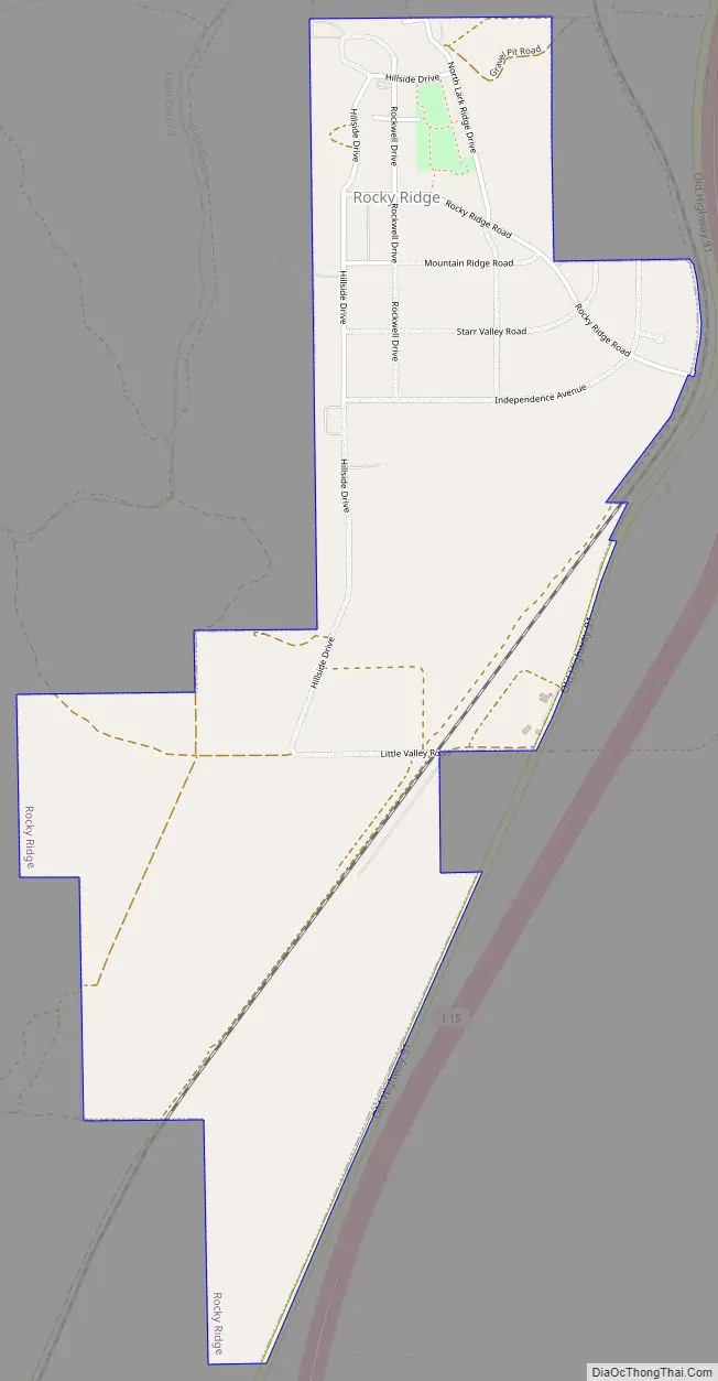
Rocky Ridge Road Map
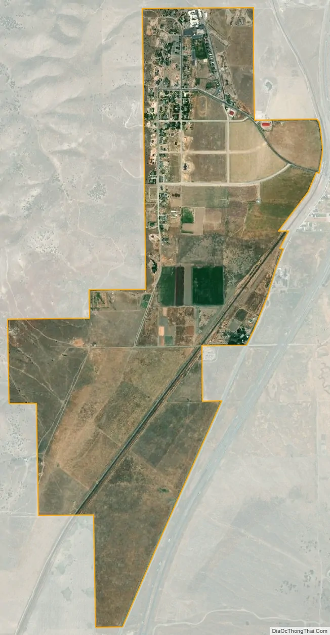
Rocky Ridge city Satellite Map
Geography
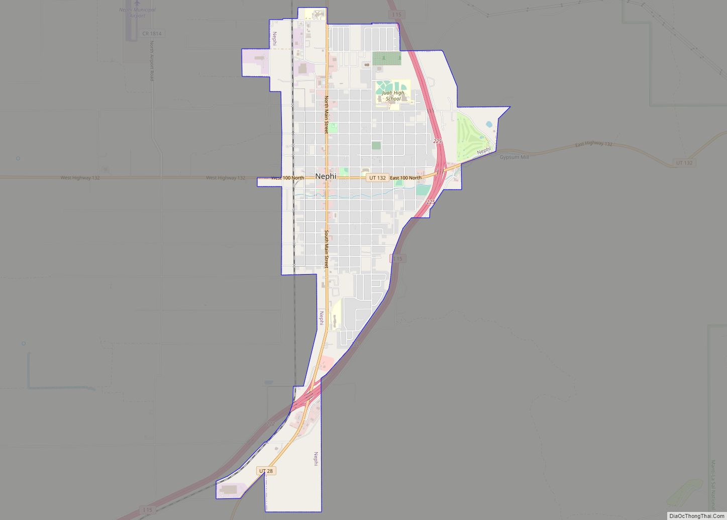
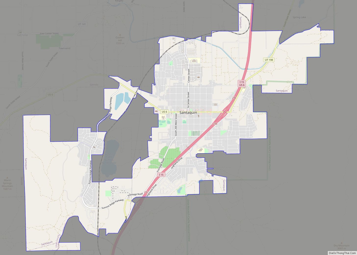
Rocky Ridge is in the northeast corner of Juab County, at the northern end of the Juab Valley. It is bordered to the north by the city of Santaquin. Interstate 15 runs just east of the town limits, with access from the north at Exit 242 (Summit Ridge Parkway) in Santaquin. Payson is 11 miles (18 km) to the north, and Mona is 8 miles (13 km) to the south. Nephi, the Juab County seat, is 15 miles (24 km) south of Rocky Ridge.
According to the United States Census Bureau, the town has a total area of 2.1 square miles (5.5 km), all land.
See also
Map of Utah State and its subdivision: Map of other states:- Alabama
- Alaska
- Arizona
- Arkansas
- California
- Colorado
- Connecticut
- Delaware
- District of Columbia
- Florida
- Georgia
- Hawaii
- Idaho
- Illinois
- Indiana
- Iowa
- Kansas
- Kentucky
- Louisiana
- Maine
- Maryland
- Massachusetts
- Michigan
- Minnesota
- Mississippi
- Missouri
- Montana
- Nebraska
- Nevada
- New Hampshire
- New Jersey
- New Mexico
- New York
- North Carolina
- North Dakota
- Ohio
- Oklahoma
- Oregon
- Pennsylvania
- Rhode Island
- South Carolina
- South Dakota
- Tennessee
- Texas
- Utah
- Vermont
- Virginia
- Washington
- West Virginia
- Wisconsin
- Wyoming