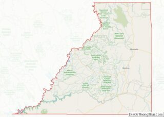
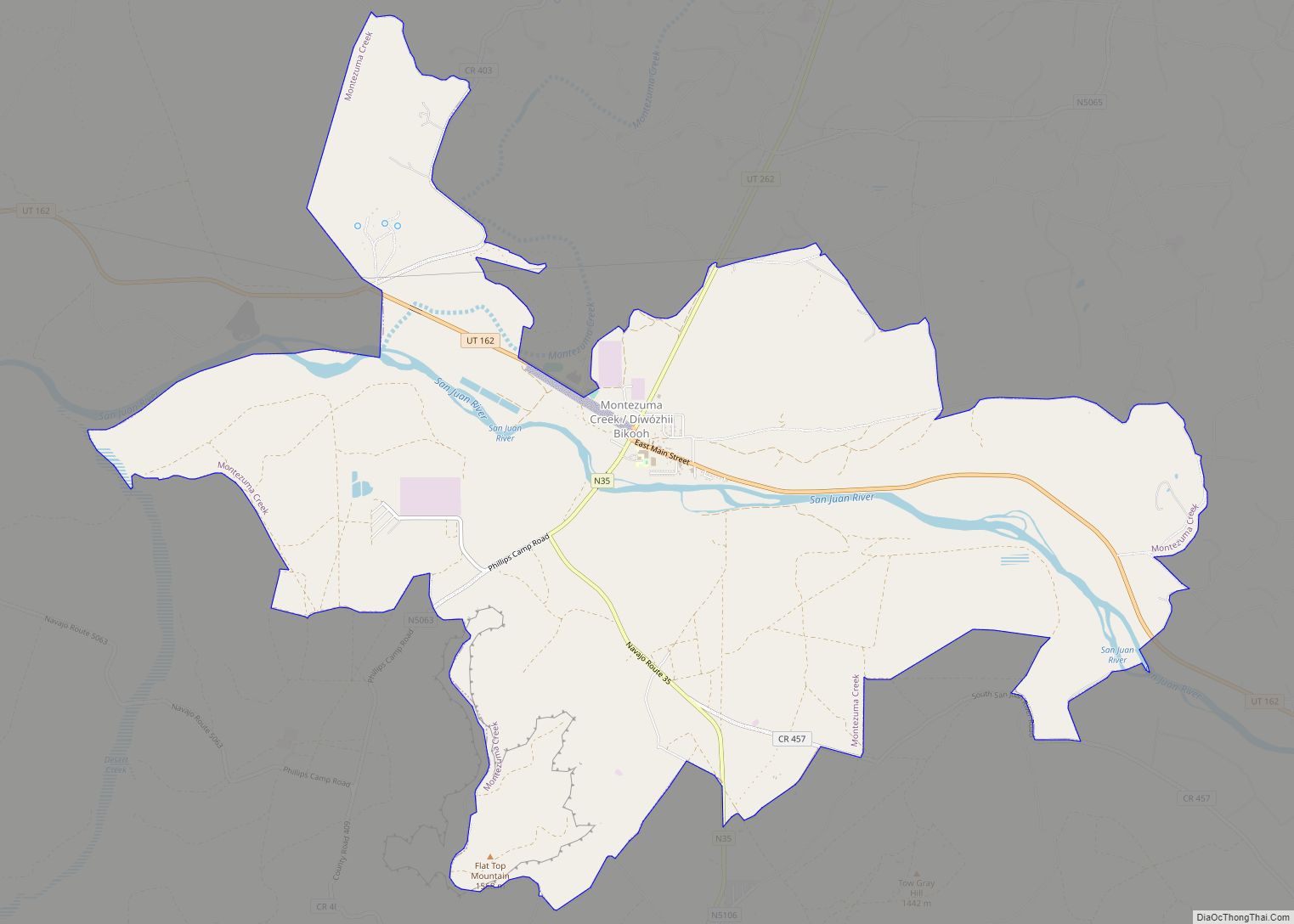
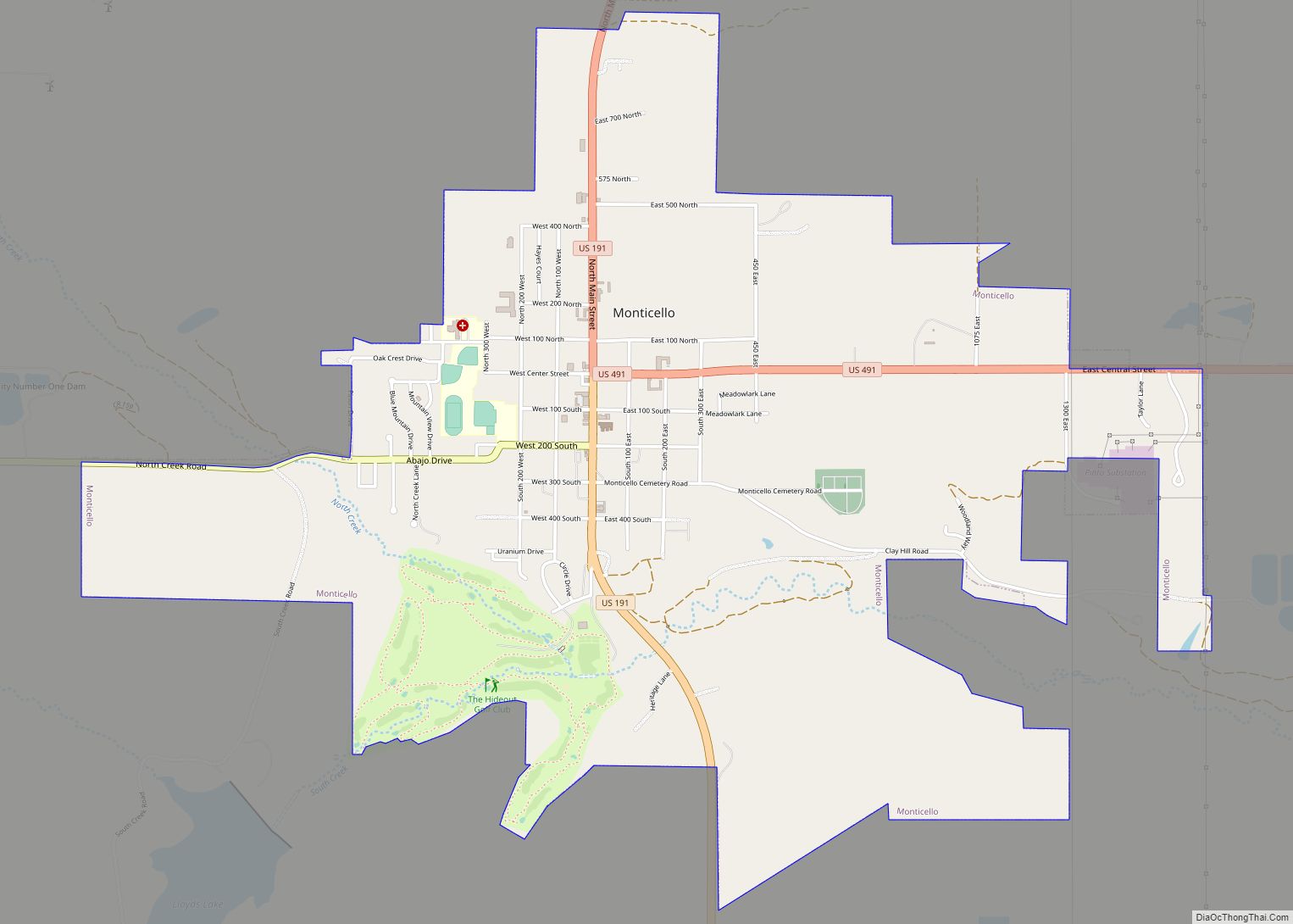
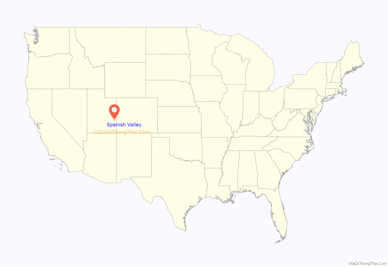
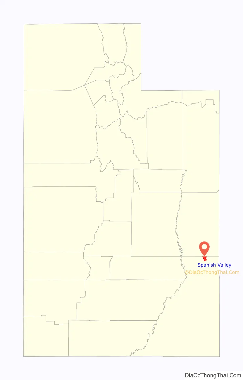
The United States Census Bureau defines Spanish Valley as a census-designated place (CDP) in San Juan County, Utah, United States. In common usage, Spanish Valley typically refers to the geographic valley that extends south of the city of Moab, most of which lies within Grand County, the northern neighbor of San Juan County. Maps of the area, for example, label the whole valley—not just the portion in San Juan County—as Spanish Valley.
| Name: | Spanish Valley CDP |
|---|---|
| LSAD Code: | 57 |
| LSAD Description: | CDP (suffix) |
| State: | Utah |
| County: | San Juan County |
| Elevation: | 4,800 ft (1,463 m) |
| Total Area: | 14.3 sq mi (36.9 km²) |
| Land Area: | 14.3 sq mi (36.9 km²) |
| Water Area: | 0.0 sq mi (0.0 km²) |
| Total Population: | 491 |
| Population Density: | 34.3/sq mi (13.3/km²) |
| FIPS code: | 4971455 |
| GNISfeature ID: | 1852447 |
Online Interactive Map
Click on ![]() to view map in "full screen" mode.
to view map in "full screen" mode.
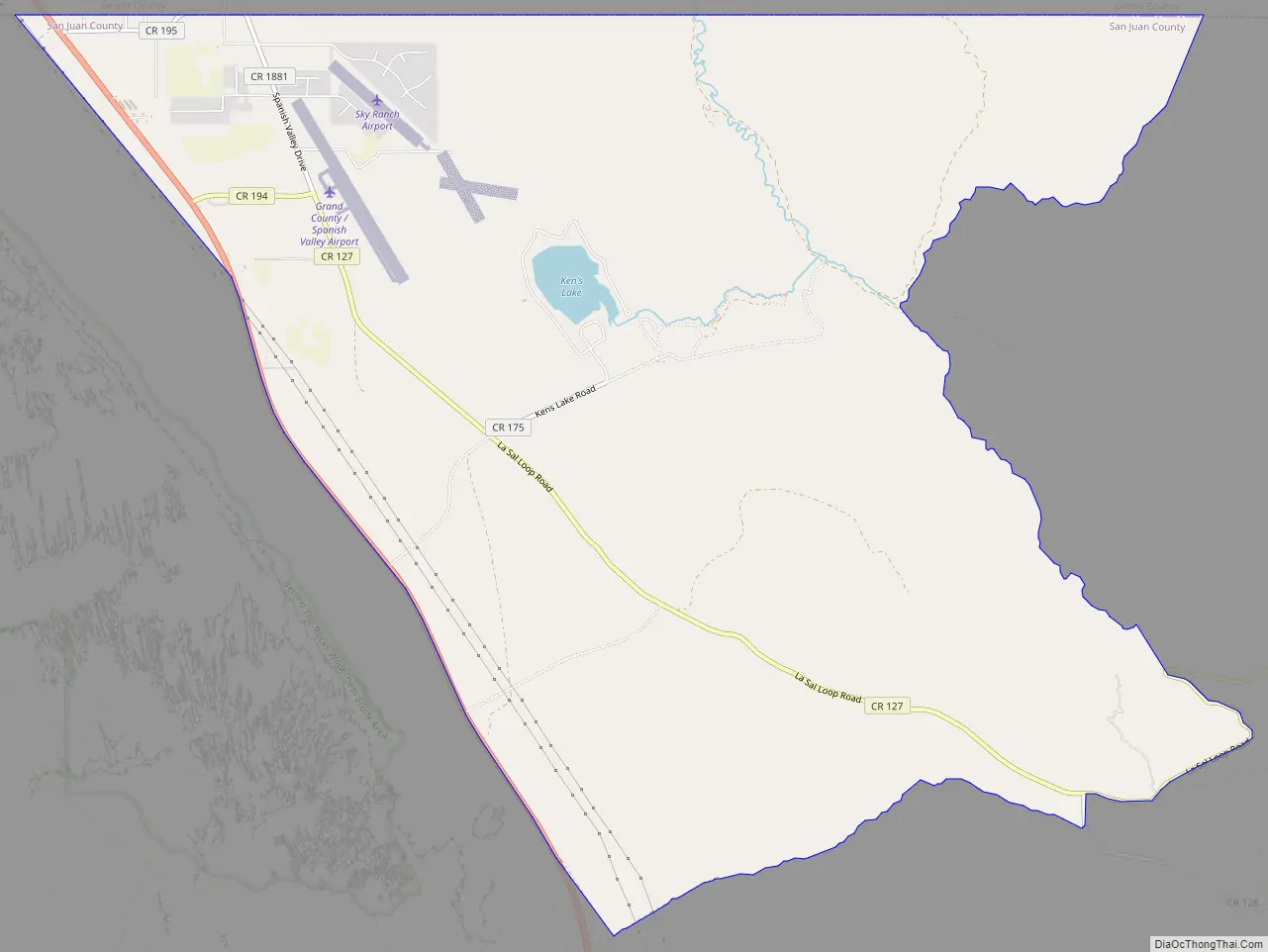
Spanish Valley location map. Where is Spanish Valley CDP?
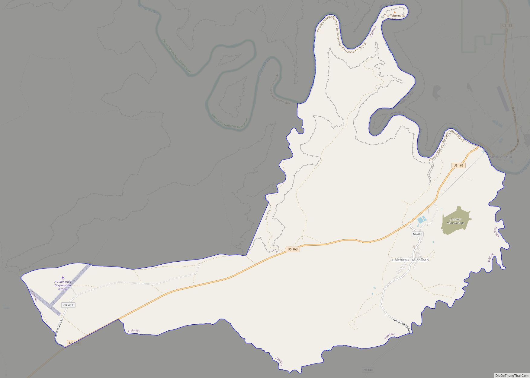
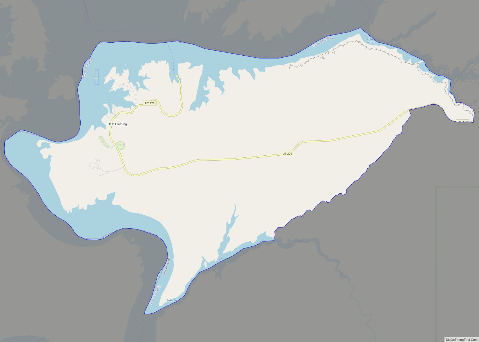
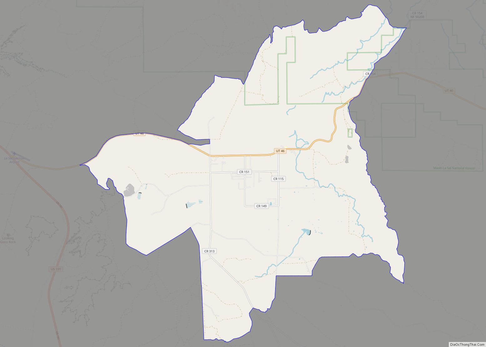
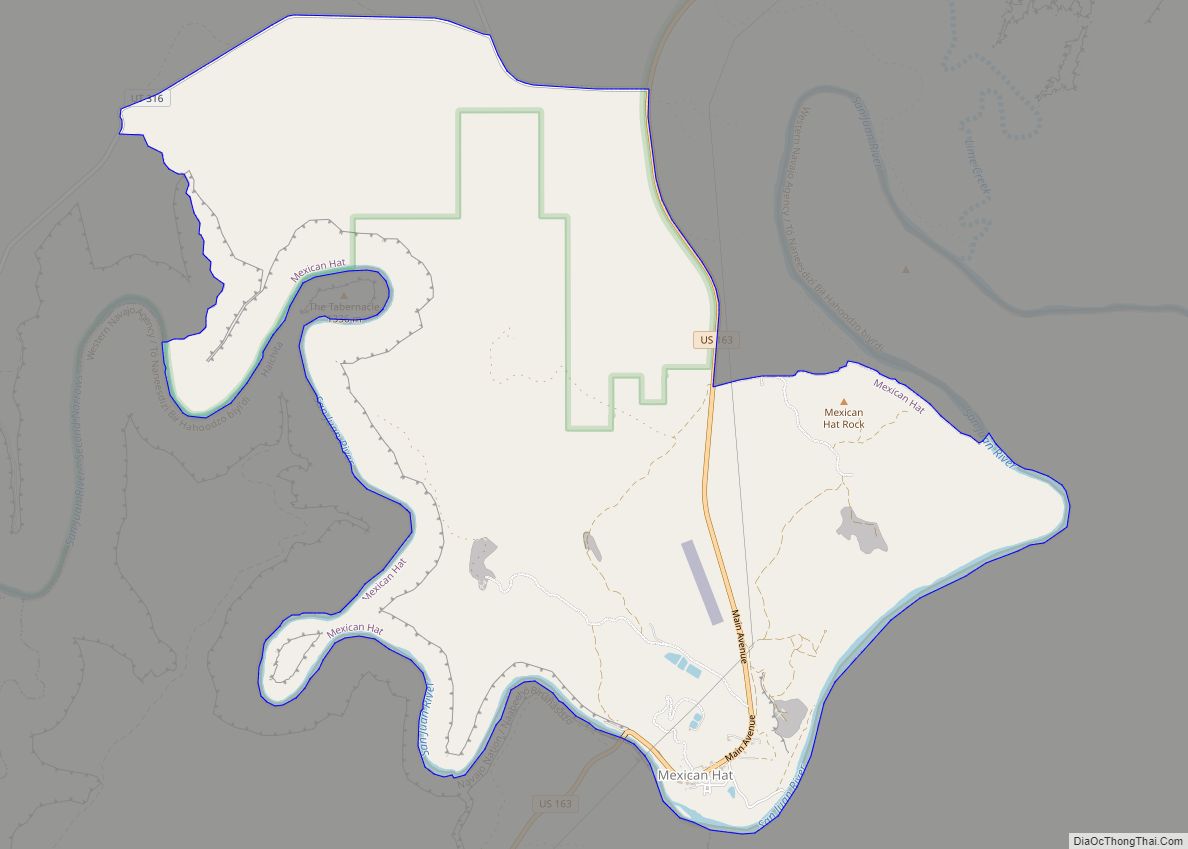
Spanish Valley Road Map
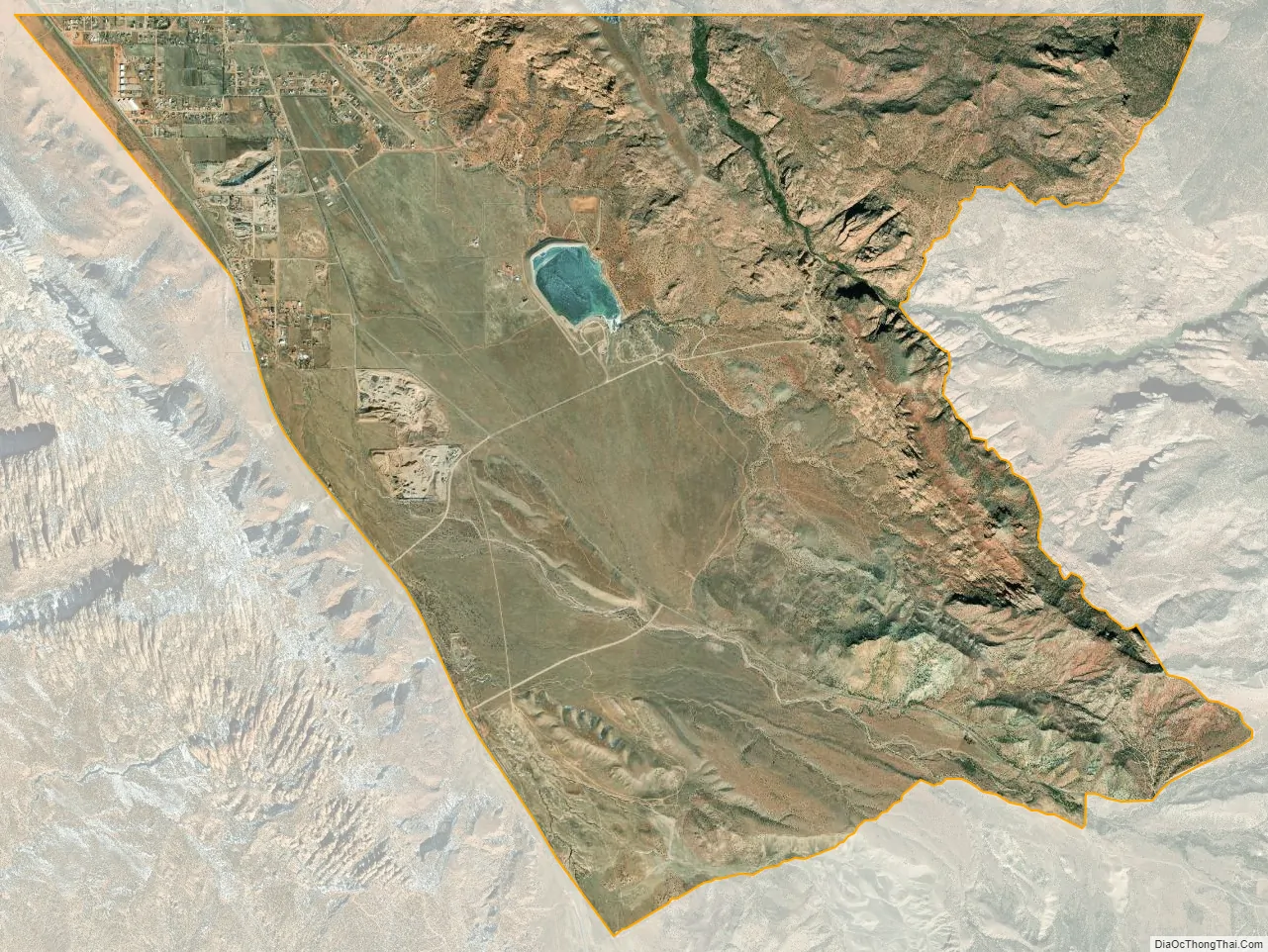
Spanish Valley city Satellite Map
Geography
Spanish Valley is located at 38°29′17″N 109°26′15″W / 38.48806°N 109.43750°W / 38.48806; -109.43750 (38.487944, -109.437460).
According to the U.S. Census Bureau, the CDP has a total area of 14.3 square miles (36.9 km), all land.
See also
Map of Utah State and its subdivision: Map of other states:- Alabama
- Alaska
- Arizona
- Arkansas
- California
- Colorado
- Connecticut
- Delaware
- District of Columbia
- Florida
- Georgia
- Hawaii
- Idaho
- Illinois
- Indiana
- Iowa
- Kansas
- Kentucky
- Louisiana
- Maine
- Maryland
- Massachusetts
- Michigan
- Minnesota
- Mississippi
- Missouri
- Montana
- Nebraska
- Nevada
- New Hampshire
- New Jersey
- New Mexico
- New York
- North Carolina
- North Dakota
- Ohio
- Oklahoma
- Oregon
- Pennsylvania
- Rhode Island
- South Carolina
- South Dakota
- Tennessee
- Texas
- Utah
- Vermont
- Virginia
- Washington
- West Virginia
- Wisconsin
- Wyoming